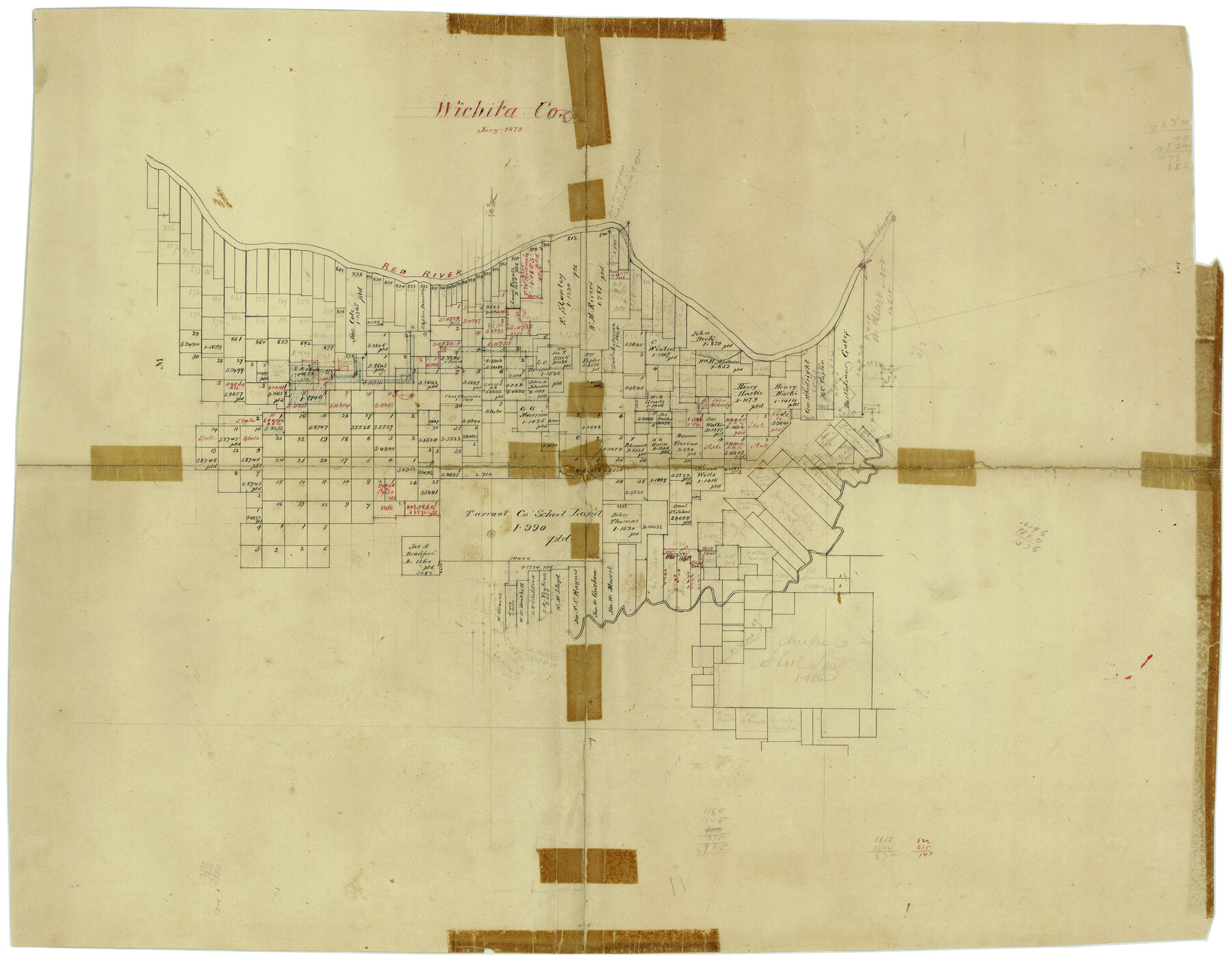
Wichita County Rolled Sketch 2
[Plat of the northern part of Wichita County, Texas]
-
Map/Doc
8240
-
Collection
General Map Collection
-
Object Dates
1/1879 (Creation Date)
-
Counties
Wichita
-
Subjects
Surveying Rolled Sketch
-
Height x Width
20.9 x 26.5 inches
53.1 x 67.3 cm
Part of: General Map Collection
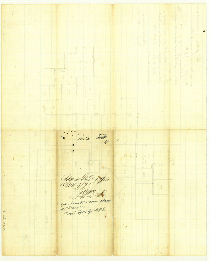
Gillespie County Sketch File 4a
Print $40.00
- Digital $50.00
Gillespie County Sketch File 4a
Size 15.8 x 12.8 inches
Map/Doc 24137
Nueces County Rolled Sketch 56
Print $53.00
- Digital $50.00
Nueces County Rolled Sketch 56
1978
Size 10.0 x 15.1 inches
Map/Doc 47890
Brewster County Rolled Sketch A
Print $40.00
- Digital $50.00
Brewster County Rolled Sketch A
Size 26.7 x 94.8 inches
Map/Doc 8925
Montgomery County Working Sketch 23
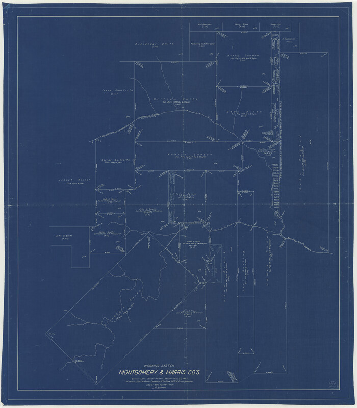
Print $20.00
- Digital $50.00
Montgomery County Working Sketch 23
1937
Size 42.5 x 37.2 inches
Map/Doc 71130
Irion County Working Sketch 2
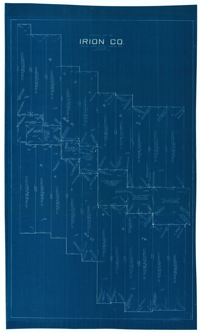
Print $20.00
- Digital $50.00
Irion County Working Sketch 2
1921
Size 34.2 x 20.6 inches
Map/Doc 66411
Plat of Resurvey of Sections 13, 24, 25 and 26, T. 5S., R. 12W., of the Indian Meridian, Oklahoma
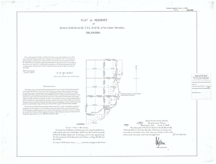
Print $4.00
- Digital $50.00
Plat of Resurvey of Sections 13, 24, 25 and 26, T. 5S., R. 12W., of the Indian Meridian, Oklahoma
1917
Size 18.3 x 24.1 inches
Map/Doc 75158
Deaf Smith County Sketch File E
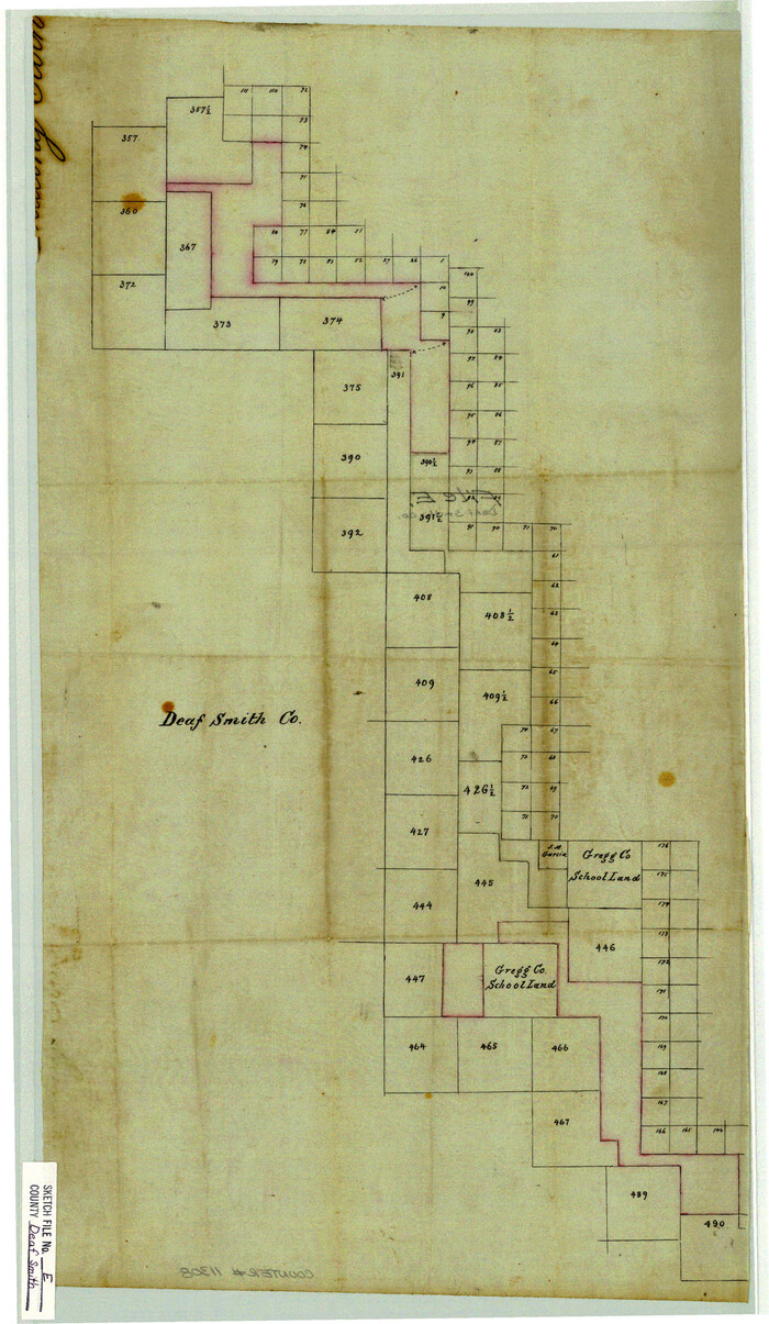
Print $20.00
- Digital $50.00
Deaf Smith County Sketch File E
Size 22.3 x 12.9 inches
Map/Doc 11308
Hudspeth County Rolled Sketch 26
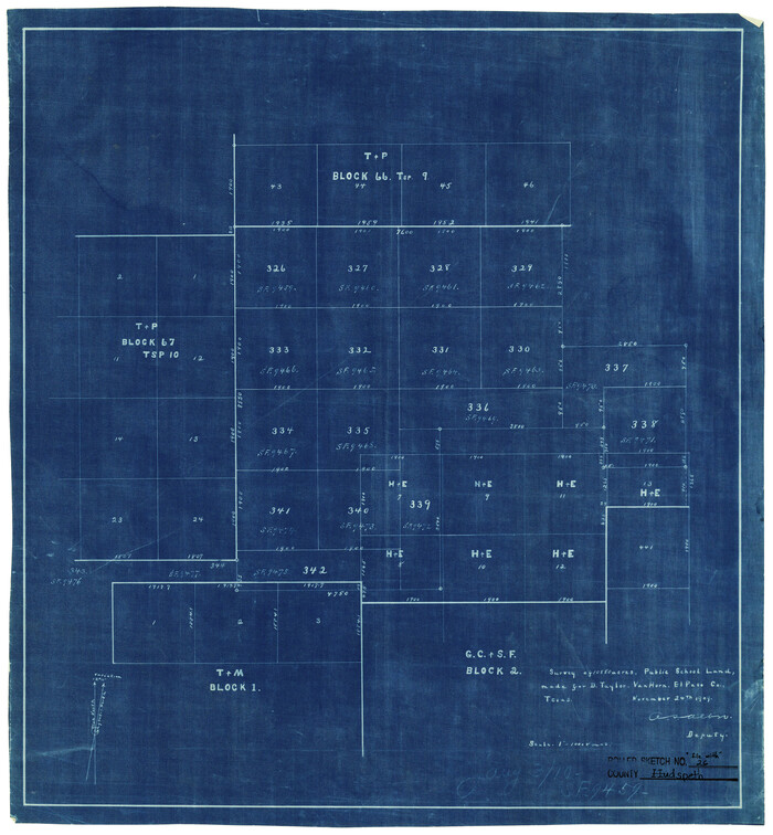
Print $20.00
- Digital $50.00
Hudspeth County Rolled Sketch 26
1909
Size 19.3 x 18.0 inches
Map/Doc 6247
2nd Chain to Long Reef, Texas
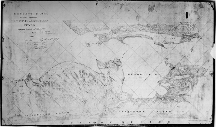
Print $40.00
- Digital $50.00
2nd Chain to Long Reef, Texas
1860
Size 30.9 x 52.6 inches
Map/Doc 69984
Nueces County
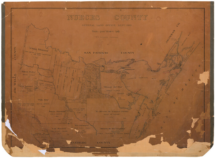
Print $20.00
- Digital $50.00
Nueces County
1913
Size 25.9 x 34.9 inches
Map/Doc 73252
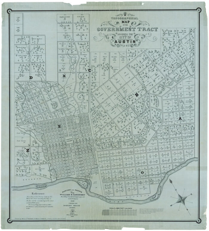
A Topographical Map of the Government Tract adjoining the City of Austin
Print $20.00
- Digital $50.00
A Topographical Map of the Government Tract adjoining the City of Austin
1840
Size 41.9 x 37.8 inches
Map/Doc 2180
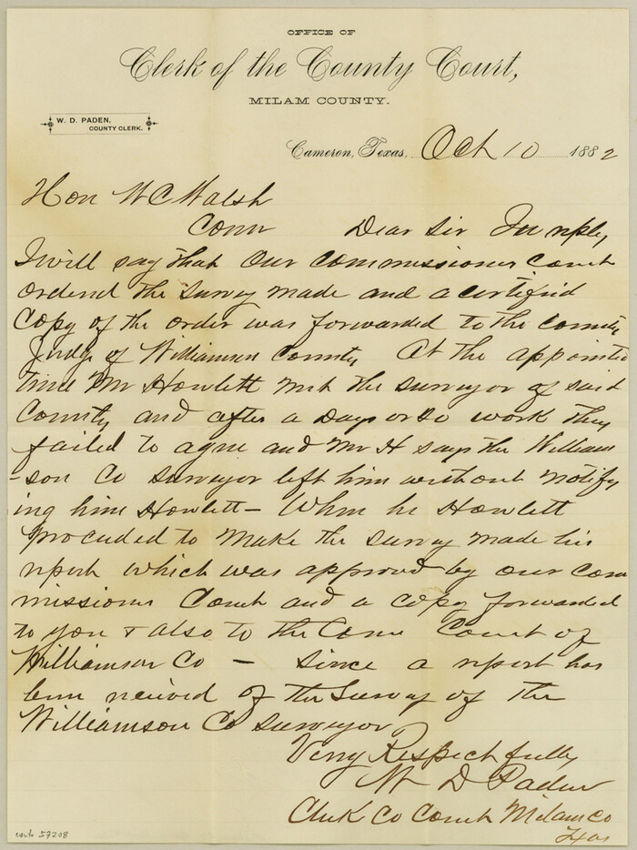
Milam County Boundary File 2a
Print $10.00
Milam County Boundary File 2a
Size 10.6 x 8.0 inches
Map/Doc 57208
You may also like
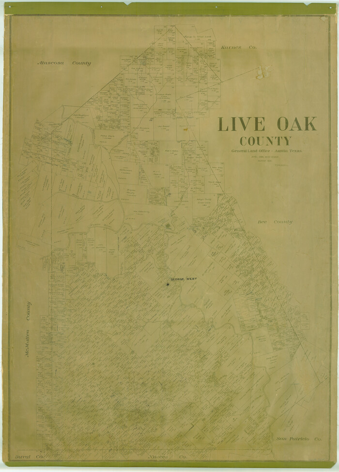
Live Oak County
Print $40.00
- Digital $50.00
Live Oak County
1899
Size 52.1 x 37.5 inches
Map/Doc 78423
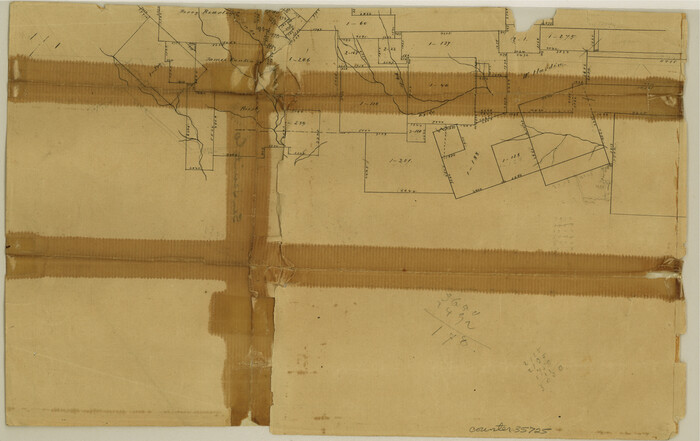
San Jacinto County Sketch File 13a
Print $6.00
San Jacinto County Sketch File 13a
Size 8.2 x 13.0 inches
Map/Doc 35725
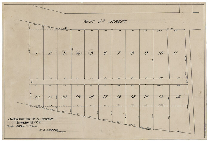
Subdivision for R.N. Graham
Print $3.00
- Digital $50.00
Subdivision for R.N. Graham
1913
Size 10.4 x 15.2 inches
Map/Doc 473
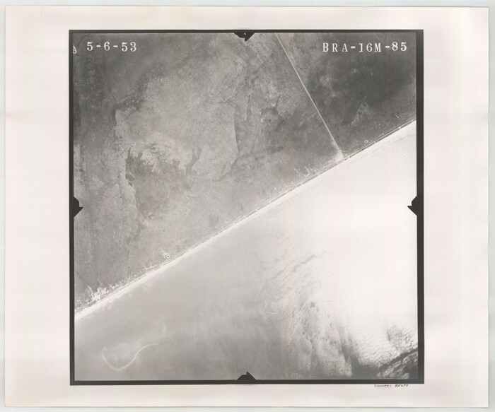
Flight Mission No. BRA-16M, Frame 85, Jefferson County
Print $20.00
- Digital $50.00
Flight Mission No. BRA-16M, Frame 85, Jefferson County
1953
Size 18.6 x 22.4 inches
Map/Doc 85697
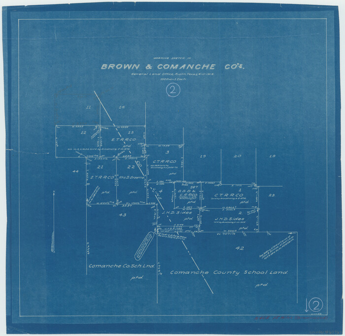
Brown County Working Sketch 2
Print $20.00
- Digital $50.00
Brown County Working Sketch 2
1919
Size 17.0 x 17.5 inches
Map/Doc 67767
Burnet County Boundary File 5
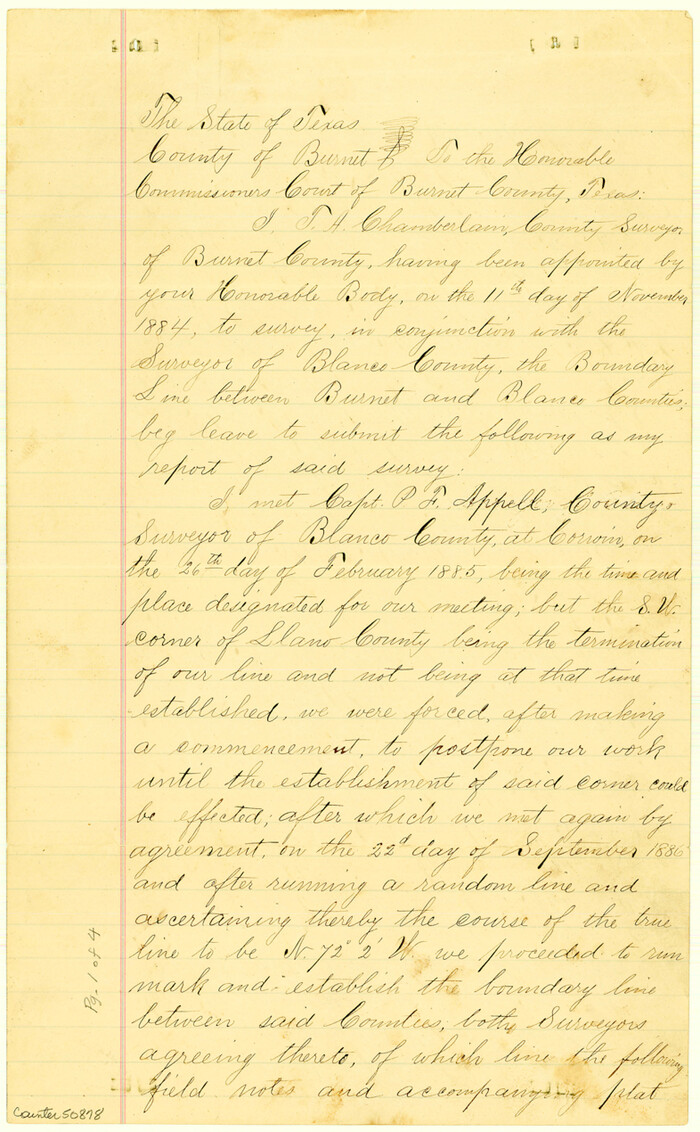
Print $16.00
Burnet County Boundary File 5
Size 12.7 x 7.9 inches
Map/Doc 50878
Topographic Map of Texas and Oklahoma Boundary, Fort Augur Area
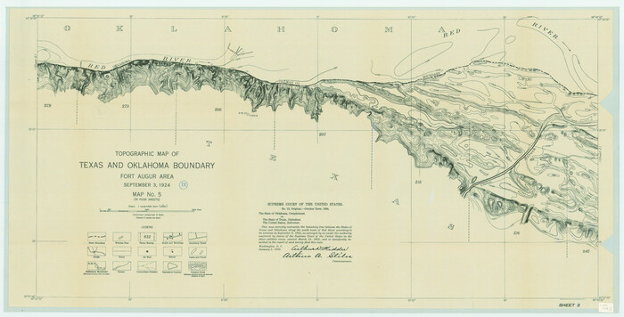
Print $20.00
Topographic Map of Texas and Oklahoma Boundary, Fort Augur Area
1924
Size 17.2 x 33.7 inches
Map/Doc 79754
Brazos Island Harbor, Texas - Dredging Entrance Channel Plan
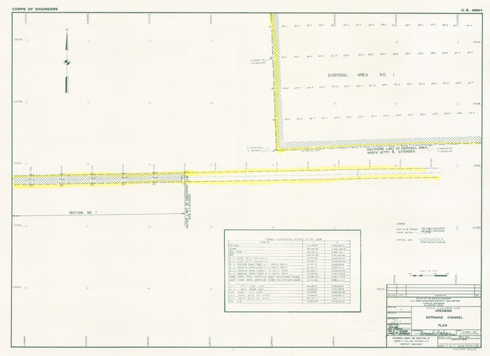
Print $20.00
- Digital $50.00
Brazos Island Harbor, Texas - Dredging Entrance Channel Plan
1990
Size 14.5 x 19.9 inches
Map/Doc 83339
Upton County Rolled Sketch 59
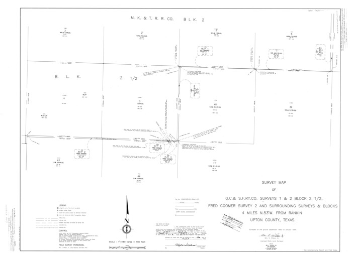
Print $40.00
- Digital $50.00
Upton County Rolled Sketch 59
1994
Size 35.8 x 49.2 inches
Map/Doc 10637
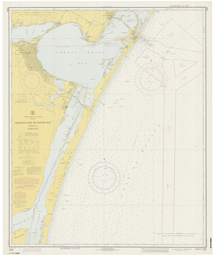
Aransas Pass to Baffin Bay
Print $20.00
- Digital $50.00
Aransas Pass to Baffin Bay
1973
Size 42.0 x 35.1 inches
Map/Doc 73418