
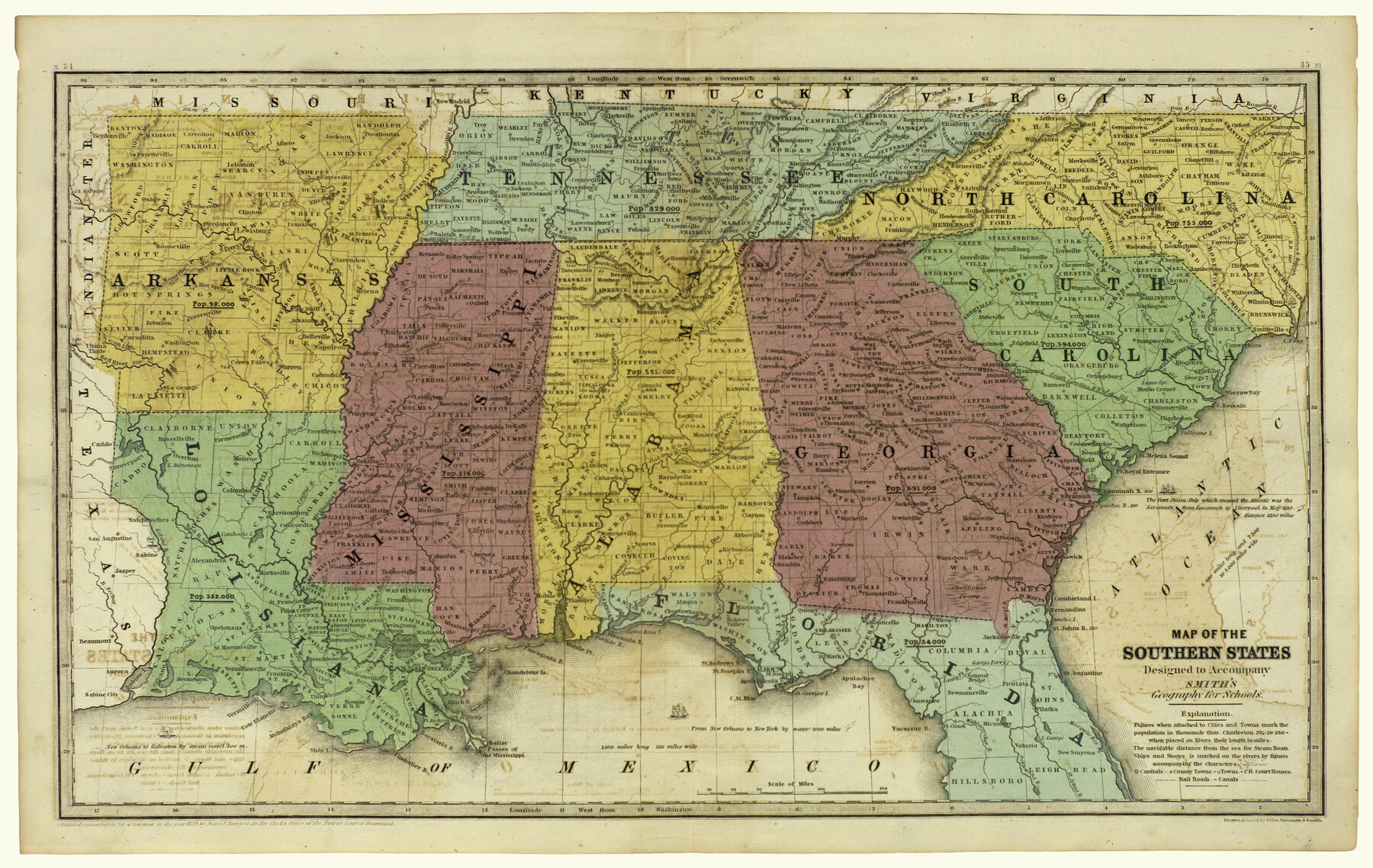
Map of the Southern States designed to accompany Smith's Geography for Schools
-
Map/Doc
93888
-
Collection
Holcomb Map Collection
-
Object Dates
1850 (Creation Date)
-
People and Organizations
Stiles, Sherman and Smith (Printer)
Stiles, Sherman and Smith (Draftsman)
-
Subjects
Atlas
-
Height x Width
12.1 x 19.2 inches
30.7 x 48.8 cm
-
Comments
Map is a part of 93881 - Smith's Atlas designed to accompany the Geography
Courtesy of Frank and Carol Holcomb.
Related maps
Smith's Atlas designed to accompany the Geography
Smith's Atlas designed to accompany the Geography
1850
Size 12.2 x 10.0 inches
Map/Doc 93881
Part of: Holcomb Map Collection
Disturnell's New Map of the United States and Canada; showing all the canals, railroads, telegraph lines and principal stage routes
Print $20.00
- Digital $50.00
Disturnell's New Map of the United States and Canada; showing all the canals, railroads, telegraph lines and principal stage routes
1853
Size 28.1 x 40.9 inches
Map/Doc 93900
Pressler's Map of the State of Texas
Print $40.00
- Digital $50.00
Pressler's Map of the State of Texas
1862
Size 48.0 x 52.7 inches
Map/Doc 95714
Richardson's New Map of the State of Texas Including Part of Mexico Compiled From Government Surveys and Other Authentic Documents
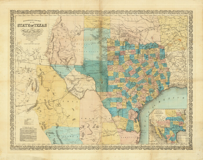
Print $20.00
- Digital $50.00
Richardson's New Map of the State of Texas Including Part of Mexico Compiled From Government Surveys and Other Authentic Documents
1860
Size 28.5 x 36.3 inches
Map/Doc 96788
Map of Texas containing the latest Grants and Discoveries
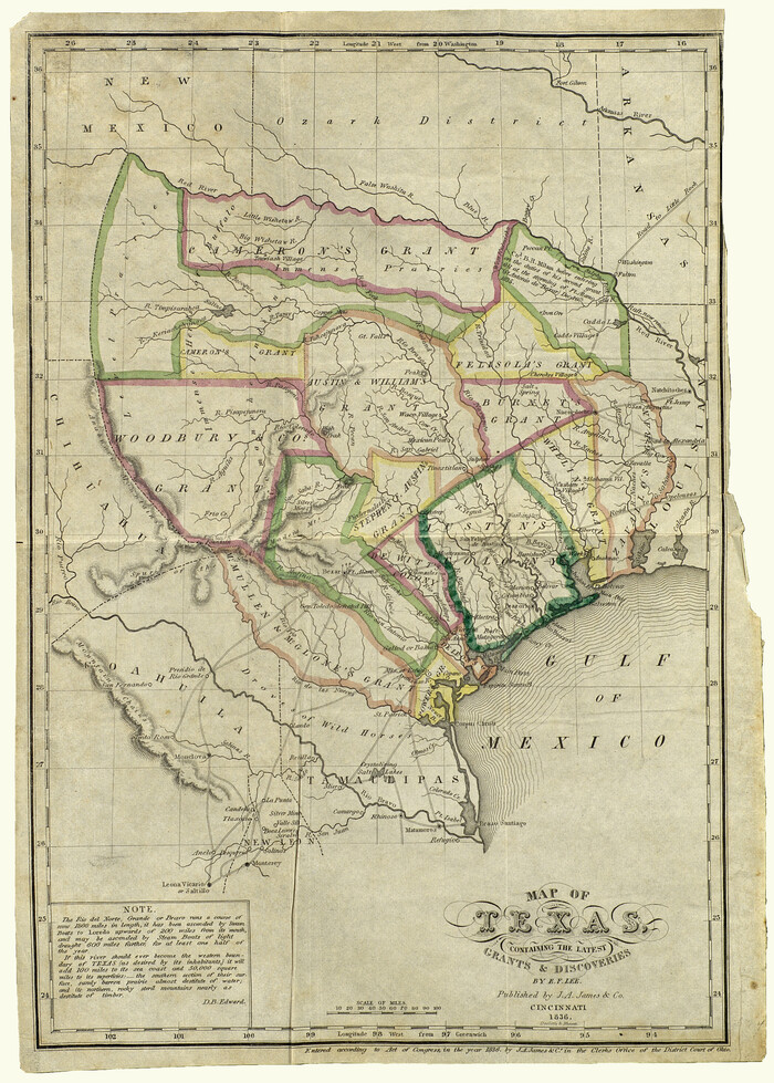
Print $20.00
- Digital $50.00
Map of Texas containing the latest Grants and Discoveries
1836
Size 12.7 x 9.1 inches
Map/Doc 93855
America Settentrionale Colle Nuoue Scoperte fin all' Anno 1688
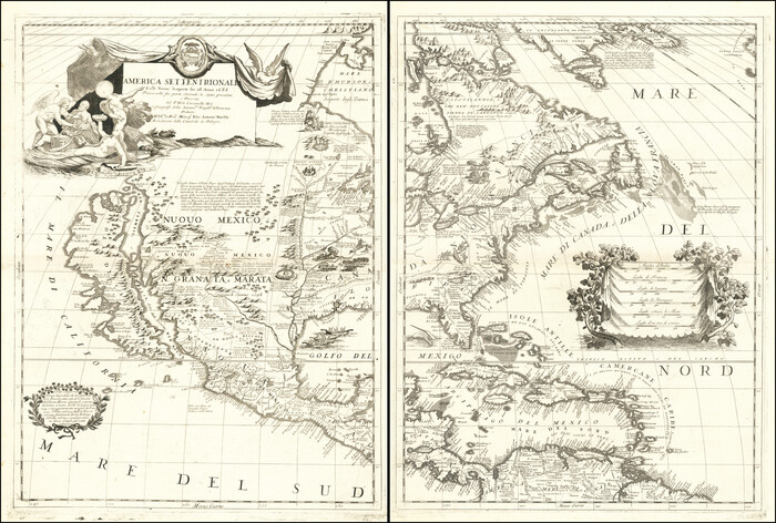
Print $20.00
- Digital $50.00
America Settentrionale Colle Nuoue Scoperte fin all' Anno 1688
1688
Size 25.4 x 37.6 inches
Map/Doc 96506
Reynolds's Political Map of the United States Designed to Exhibit the Comparative Area of the Free and Slave States and the Territory open to Slavery or Freedom by the Repeal of the Missouri Compromise
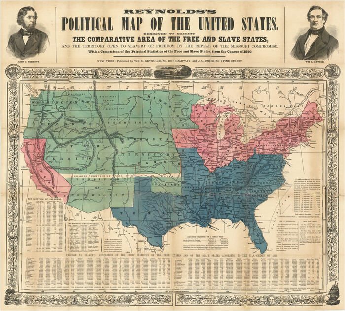
Print $20.00
- Digital $50.00
Reynolds's Political Map of the United States Designed to Exhibit the Comparative Area of the Free and Slave States and the Territory open to Slavery or Freedom by the Repeal of the Missouri Compromise
1856
Size 24.0 x 27.0 inches
Map/Doc 97115
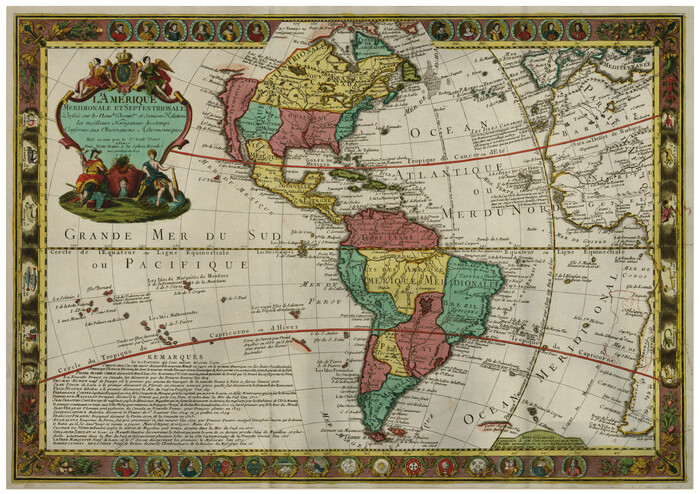
L'Amerique Meridionale et Septentrionale
Print $20.00
- Digital $50.00
L'Amerique Meridionale et Septentrionale
1731
Size 20.0 x 28.3 inches
Map/Doc 93825
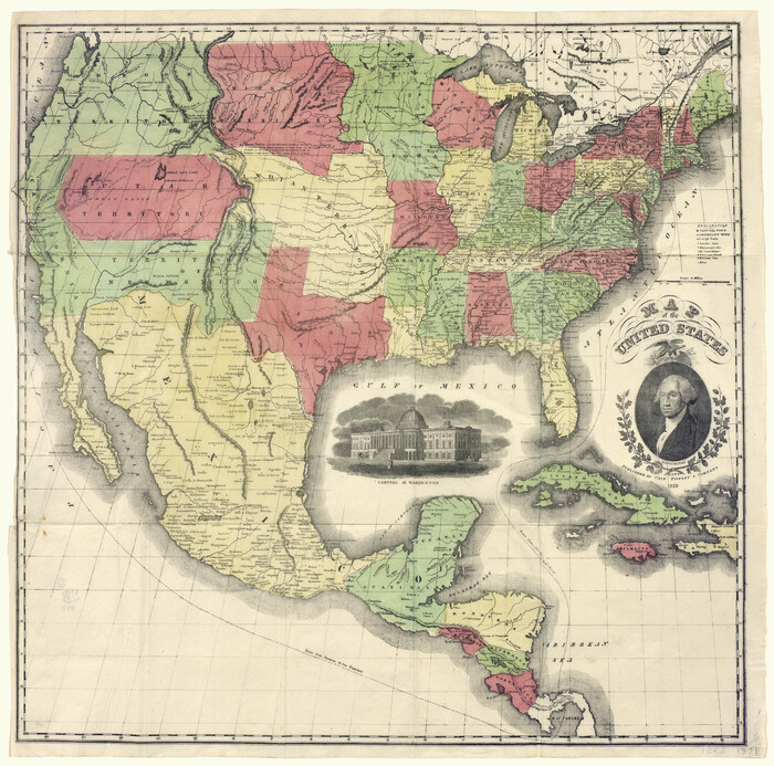
Map of the United States
Print $20.00
- Digital $50.00
Map of the United States
1851
Size 25.1 x 25.3 inches
Map/Doc 93899
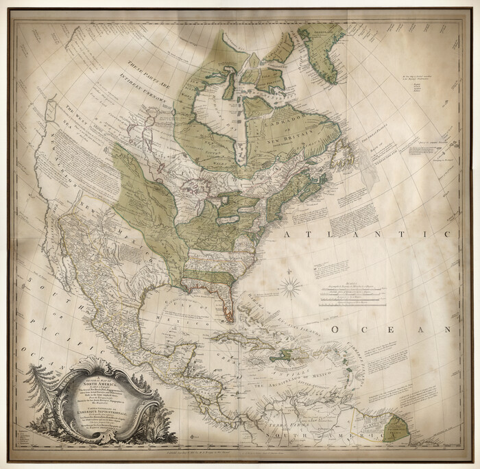
A General Map of North America; In which is Express'd the several New Roads, Forts, Engagements, & c. taken from Actual Surveys and Observations Made in the Army employ'd there
Print $20.00
- Digital $50.00
A General Map of North America; In which is Express'd the several New Roads, Forts, Engagements, & c. taken from Actual Surveys and Observations Made in the Army employ'd there
1761
Size 37.6 x 38.6 inches
Map/Doc 93827
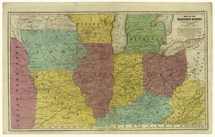
Map of the Western States designed to accompany Smith's Geography for Schools
Print $20.00
- Digital $50.00
Map of the Western States designed to accompany Smith's Geography for Schools
1850
Size 12.2 x 19.1 inches
Map/Doc 93889
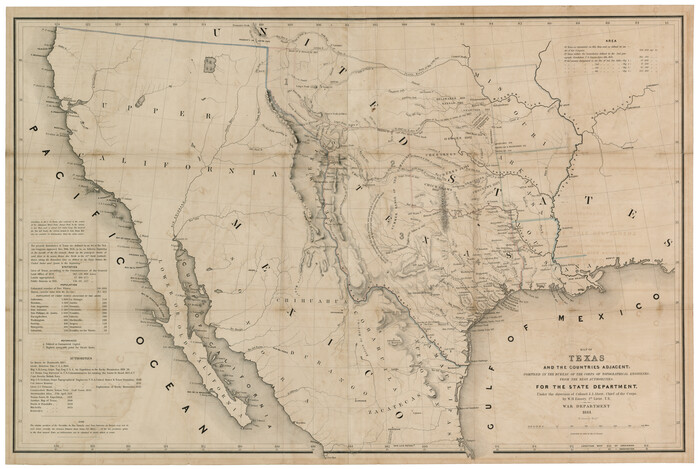
Map of Texas and the Countries Adjacent compiled in the Bureau of the Corps of Topographical Engineers from the Best Authorities
Print $20.00
- Digital $50.00
Map of Texas and the Countries Adjacent compiled in the Bureau of the Corps of Topographical Engineers from the Best Authorities
1844
Size 22.3 x 33.4 inches
Map/Doc 93867
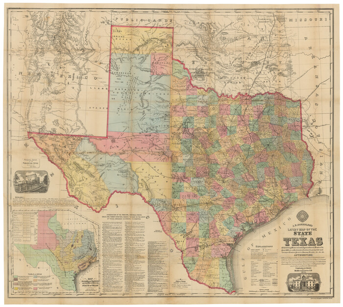
A.R. Roessler's Latest Map of the State of Texas Exhibiting Mineral and Agricultural Districts, Post Offices & Mailroutes, Railroads projected and finished, Timber, Prairie, Swamp Lands, etc. etc. etc.
Print $20.00
- Digital $50.00
A.R. Roessler's Latest Map of the State of Texas Exhibiting Mineral and Agricultural Districts, Post Offices & Mailroutes, Railroads projected and finished, Timber, Prairie, Swamp Lands, etc. etc. etc.
1874
Size 39.9 x 44.6 inches
Map/Doc 95369
You may also like
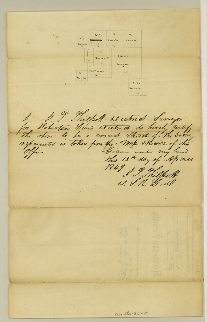
Navarro County Sketch File 8
Print $4.00
- Digital $50.00
Navarro County Sketch File 8
1849
Size 13.2 x 8.5 inches
Map/Doc 32315
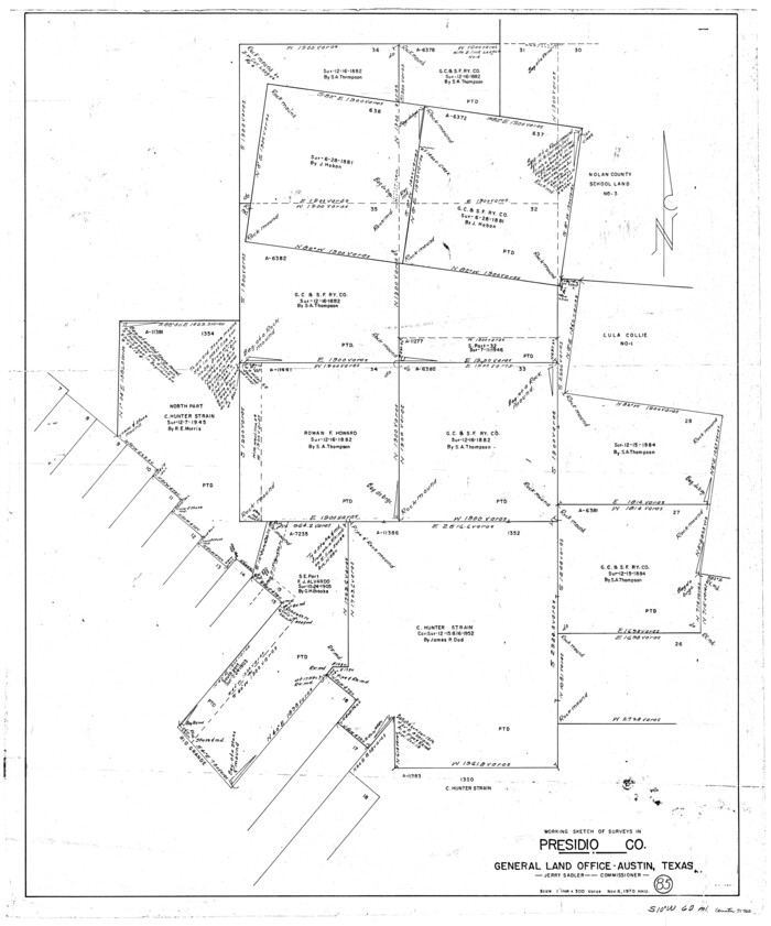
Presidio County Working Sketch 85
Print $20.00
- Digital $50.00
Presidio County Working Sketch 85
1970
Size 37.0 x 30.8 inches
Map/Doc 71762
Northwest Part Crockett County
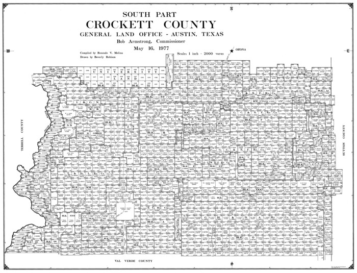
Print $20.00
- Digital $50.00
Northwest Part Crockett County
1983
Size 29.9 x 39.1 inches
Map/Doc 77252
Aransas County Working Sketch 23
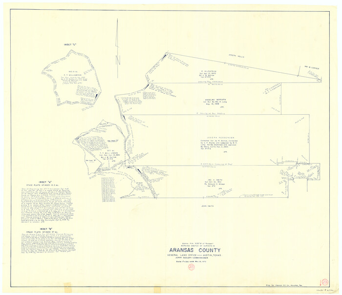
Print $20.00
- Digital $50.00
Aransas County Working Sketch 23
1970
Size 34.6 x 40.1 inches
Map/Doc 67190
Rusk County Sketch File 17
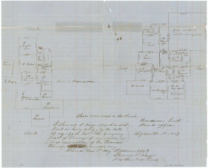
Print $22.00
Rusk County Sketch File 17
1857
Size 12.7 x 15.7 inches
Map/Doc 35520
Hockley County Rolled Sketch 9
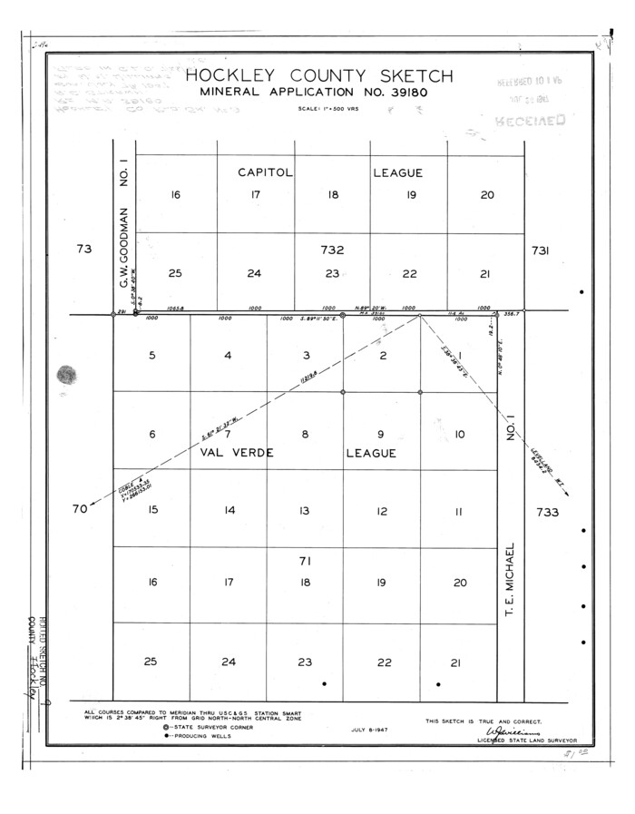
Print $20.00
- Digital $50.00
Hockley County Rolled Sketch 9
1947
Size 21.2 x 16.5 inches
Map/Doc 6218
Waller County Sketch File 5
Print $6.00
- Digital $50.00
Waller County Sketch File 5
Size 10.7 x 14.1 inches
Map/Doc 39600
State Map of Kansas Showing Productive Geological Formation of Each Oil Field
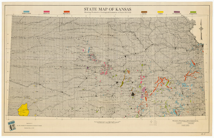
Print $20.00
- Digital $50.00
State Map of Kansas Showing Productive Geological Formation of Each Oil Field
1937
Size 45.5 x 29.8 inches
Map/Doc 92043
The Mexican Municipality of Brazoria. Created, April 28, 1832
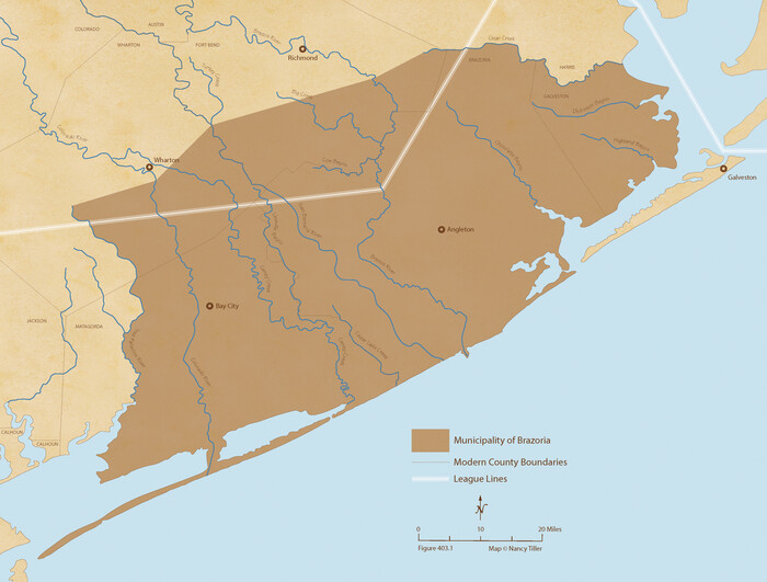
Print $20.00
The Mexican Municipality of Brazoria. Created, April 28, 1832
2020
Size 16.5 x 21.7 inches
Map/Doc 96015
Map of Public Roads in Terry County, Texas
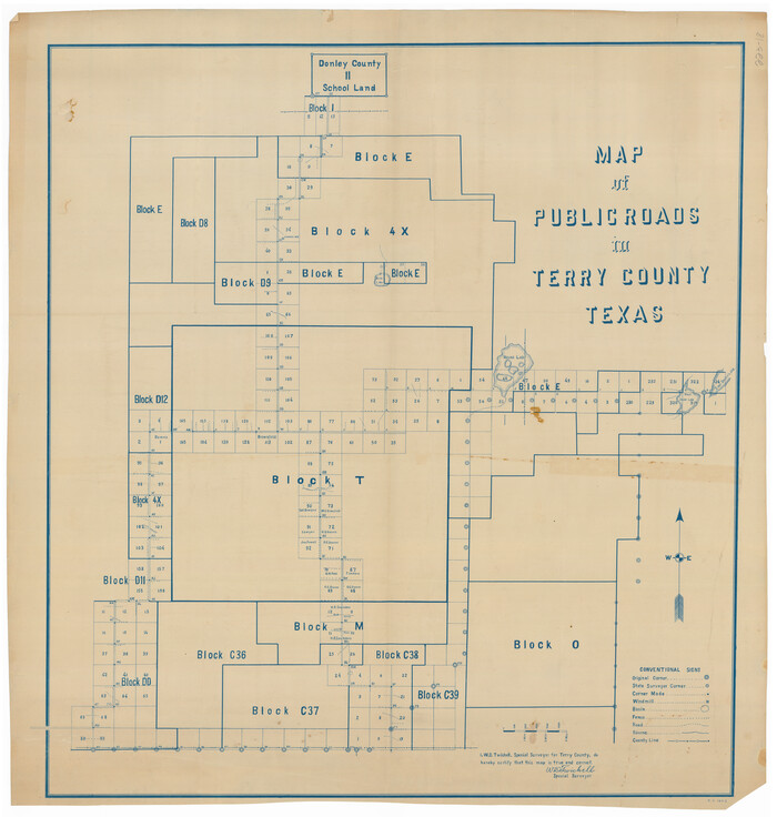
Print $20.00
- Digital $50.00
Map of Public Roads in Terry County, Texas
Size 34.0 x 36.1 inches
Map/Doc 91941
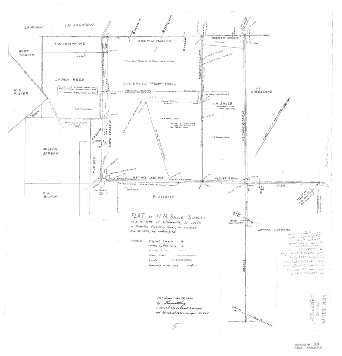
Hamilton County Sketch File 23
Print $20.00
- Digital $50.00
Hamilton County Sketch File 23
1955
Size 25.8 x 24.8 inches
Map/Doc 11618
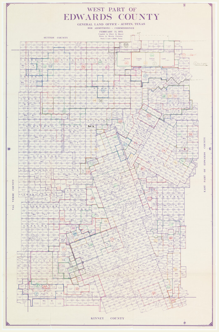
Edwards County Working Sketch Graphic Index - west part
Print $40.00
- Digital $50.00
Edwards County Working Sketch Graphic Index - west part
1975
Size 57.4 x 38.1 inches
Map/Doc 76532