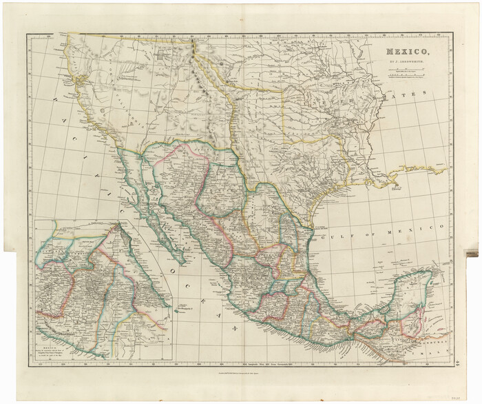
Harris County Sketch File 33a


Print $20.00
- Digital $50.00
Harris County Sketch File 33a
Size: 34.1 x 30.0 inches
10478
Gregg County Sketch File 12


Print $20.00
- Digital $50.00
Gregg County Sketch File 12
Size: 17.3 x 24.1 inches
11589
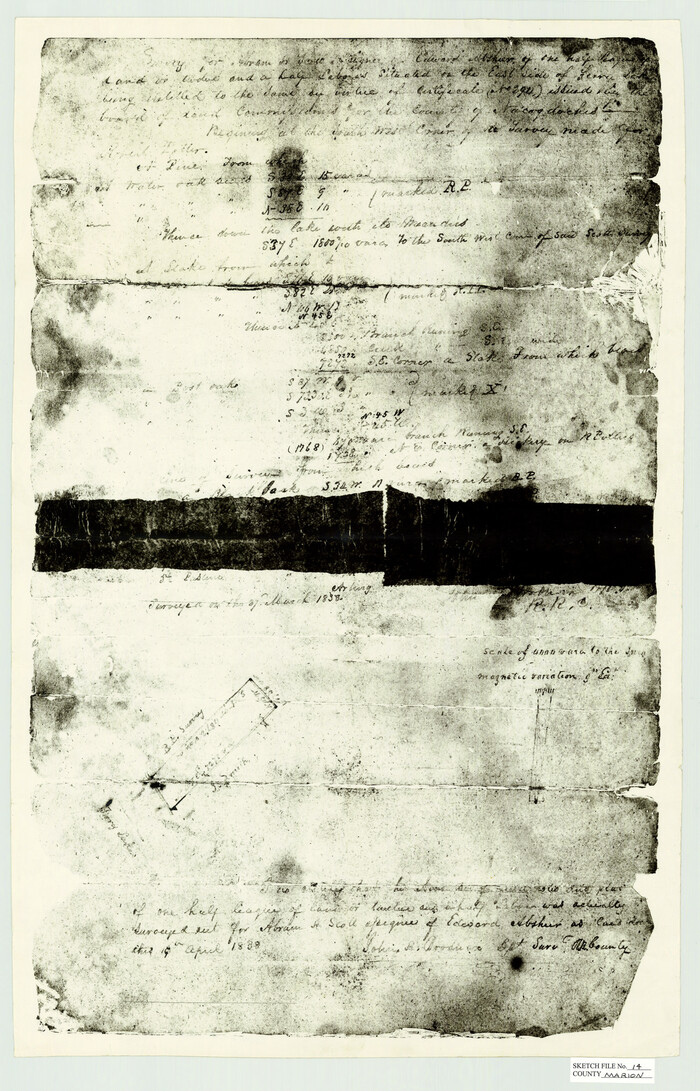
Marion County Sketch File 14

Print $20.00
- Digital $50.00
Marion County Sketch File 14
Size: 26.6 x 17.1 inches
12024
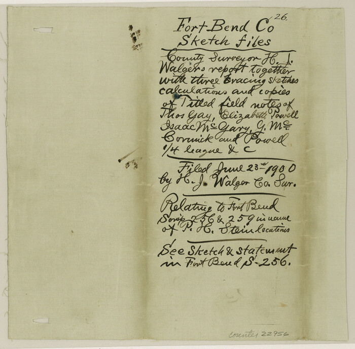
Fort Bend County Sketch File 26

Print $46.00
- Digital $50.00
Fort Bend County Sketch File 26
Size: 8.9 x 9.1 inches
22956
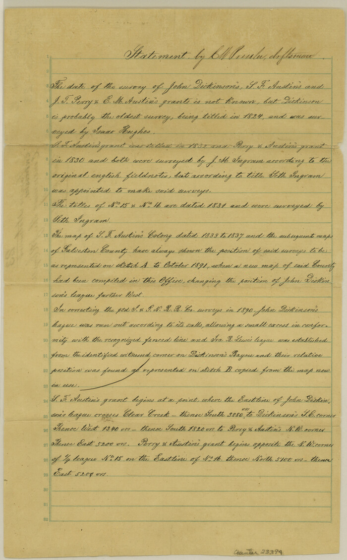
Galveston County Sketch File 23

Print $4.00
- Digital $50.00
Galveston County Sketch File 23
Size: 13.9 x 8.6 inches
23394
Hardin County Sketch File 65


Print $15.00
- Digital $50.00
Hardin County Sketch File 65
Size: 14.4 x 9.0 inches
25245
Henderson County Sketch File 1


Print $8.00
- Digital $50.00
Henderson County Sketch File 1
Size: 12.8 x 8.3 inches
26318
Jasper County Sketch File 27
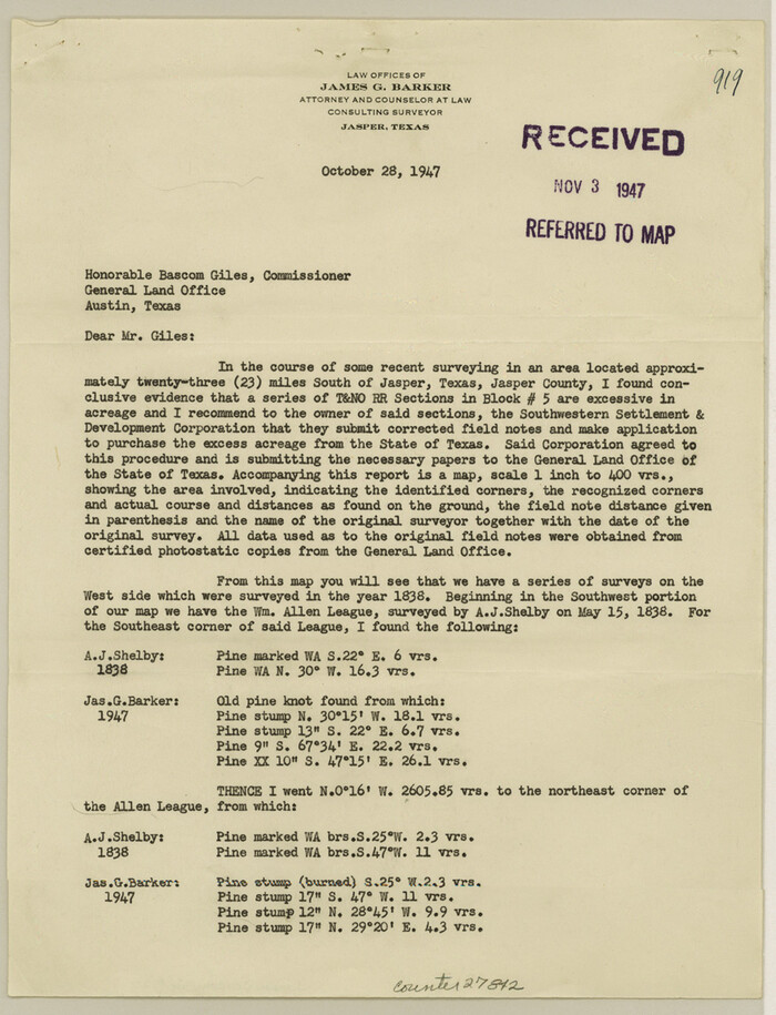

Print $22.00
- Digital $50.00
Jasper County Sketch File 27
Size: 11.4 x 8.8 inches
27842
Nacogdoches County Sketch File 6

Print $10.00
- Digital $50.00
Nacogdoches County Sketch File 6
Size: 8.2 x 6.8 inches
32245
Travis County Sketch File 71
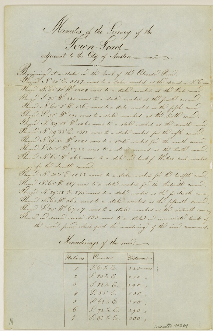

Print $10.00
- Digital $50.00
Travis County Sketch File 71
1840
Size: 12.9 x 8.3 inches
38456
Tyler County Sketch File A1
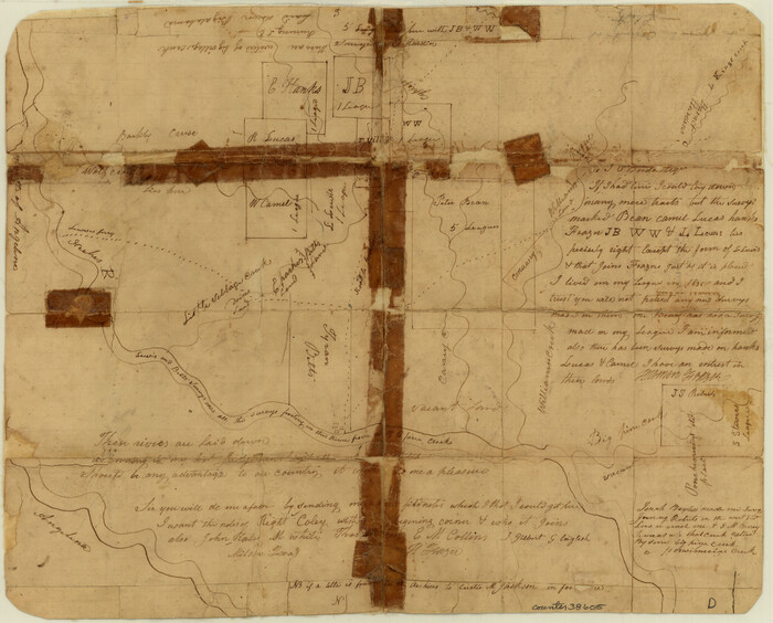

Print $22.00
- Digital $50.00
Tyler County Sketch File A1
Size: 12.7 x 15.7 inches
38605
Hopkins County Sketch File 4


Print $47.00
- Digital $50.00
Hopkins County Sketch File 4
Size: 21.2 x 18.4 inches
4565
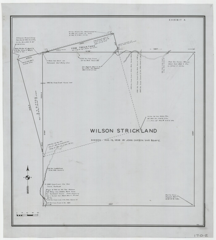
Wilson Strickland Survey, Exhibit A

Print $20.00
- Digital $50.00
Wilson Strickland Survey, Exhibit A
Size: 20.8 x 23.0 inches
91368
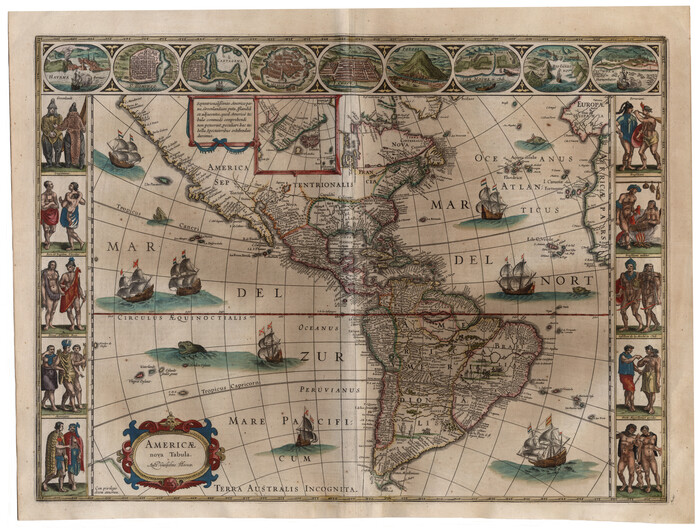
Americae nova Tabula

Print $20.00
- Digital $50.00
Americae nova Tabula
1635
Size: 18.4 x 24.3 inches
93812
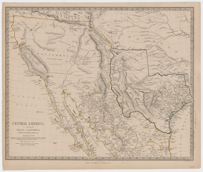
Central America II. Including Texas, California and the Northern States of Mexico

Print $20.00
- Digital $50.00
Central America II. Including Texas, California and the Northern States of Mexico
Size: 14.1 x 16.7 inches
93927
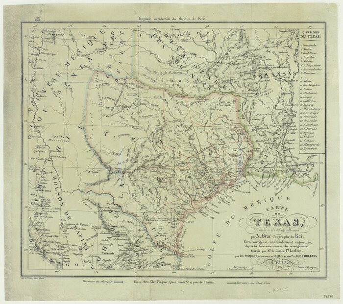
Carte du Texas, Extraite de la grande Carte du Mexique par A. Brué Géographe du Roi, Revue, corrigée et considerablement augmentée d'après des documens récens et renseignemens fournis par Mr. le Docteur Fc. Leclerc

Print $20.00
- Digital $50.00
Carte du Texas, Extraite de la grande Carte du Mexique par A. Brué Géographe du Roi, Revue, corrigée et considerablement augmentée d'après des documens récens et renseignemens fournis par Mr. le Docteur Fc. Leclerc
Size: 12.6 x 14.2 inches
94273
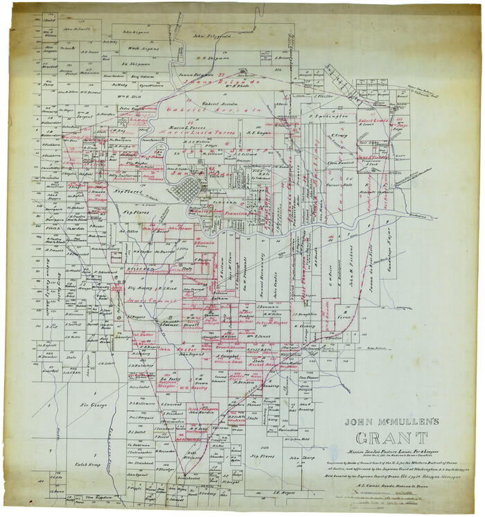
Medina County Rolled Sketch 1

Print $20.00
- Digital $50.00
Medina County Rolled Sketch 1
Size: 46.2 x 43.3 inches
9503
L'Amerique Meridionale, et Septentrionale Dressee selon les derniers Relations et suivant les Nouvelles Decouvertes


Print $20.00
- Digital $50.00
L'Amerique Meridionale, et Septentrionale Dressee selon les derniers Relations et suivant les Nouvelles Decouvertes
Size: 18.9 x 24.1 inches
95134
A New Map of the Whole Continent of America. Divided into North and South and West Indies, wherein are exactly decribed the United States of North America as well as the Several European Possessions according to the Preliminaries of Peace…


Print $40.00
- Digital $50.00
A New Map of the Whole Continent of America. Divided into North and South and West Indies, wherein are exactly decribed the United States of North America as well as the Several European Possessions according to the Preliminaries of Peace…
Size: 22.0 x 48.3 inches
95135
A New Map of the Whole Continent of America. Divided into North and South and West Indies, wherein are exactly decribed the United States of North America as well as the Several European Possessions according to the Preliminaries of Peace…


Print $40.00
- Digital $50.00
A New Map of the Whole Continent of America. Divided into North and South and West Indies, wherein are exactly decribed the United States of North America as well as the Several European Possessions according to the Preliminaries of Peace…
Size: 22.0 x 48.7 inches
95136
A New Map of the Whole Continent of America. Divided into North and South and West Indies, wherein are exactly decribed the United States of North America as well as the Several European Possessions according to the Preliminaries of Peace…


Print $40.00
- Digital $50.00
A New Map of the Whole Continent of America. Divided into North and South and West Indies, wherein are exactly decribed the United States of North America as well as the Several European Possessions according to the Preliminaries of Peace…
Size: 42.8 x 48.8 inches
95137
Partie de l'Amerique Septentrionale, qui Comprend le Canada, la Louisiane, le Labrador, le Groenland, les Etats-Unis et la Floride, &c.


Print $20.00
- Digital $50.00
Partie de l'Amerique Septentrionale, qui Comprend le Canada, la Louisiane, le Labrador, le Groenland, les Etats-Unis et la Floride, &c.
Size: 31.2 x 23.4 inches
95140
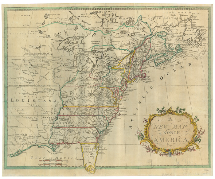
A New Map of North America

Print $20.00
- Digital $50.00
A New Map of North America
Size: 18.5 x 22.2 inches
95141
Carte de la Louisiane et du Cours du Mississipi


Print $20.00
- Digital $50.00
Carte de la Louisiane et du Cours du Mississipi
Size: 21.7 x 28.6 inches
95161
A Geological Map of the United States


Print $20.00
A Geological Map of the United States
Size: 10.2 x 15.9 inches
95281
A Map of Mexico, Louisiana and the Missouri Territory, including also the State of Mississippi, Alabama Territory, East & West Florida, Georgia, South Carolina & part of the Island of Cuba


Print $40.00
A Map of Mexico, Louisiana and the Missouri Territory, including also the State of Mississippi, Alabama Territory, East & West Florida, Georgia, South Carolina & part of the Island of Cuba
Size: 66.9 x 64.2 inches
95312
Carte des Côtes du Golfe du Mexique compris entre la Pointe Sud de la Presqu'Ile de la Floride et la Pointe Nord de la Presqu'Ile d'Yucatan


Print $20.00
- Digital $50.00
Carte des Côtes du Golfe du Mexique compris entre la Pointe Sud de la Presqu'Ile de la Floride et la Pointe Nord de la Presqu'Ile d'Yucatan
1800
Size: 26.0 x 37.5 inches
95322
Harris County Sketch File 33a


Print $20.00
- Digital $50.00
Harris County Sketch File 33a
-
Size
34.1 x 30.0 inches
-
Map/Doc
10478
Gregg County Sketch File 12


Print $20.00
- Digital $50.00
Gregg County Sketch File 12
-
Size
17.3 x 24.1 inches
-
Map/Doc
11589
Marion County Sketch File 14


Print $20.00
- Digital $50.00
Marion County Sketch File 14
-
Size
26.6 x 17.1 inches
-
Map/Doc
12024
Fort Bend County Sketch File 26


Print $46.00
- Digital $50.00
Fort Bend County Sketch File 26
-
Size
8.9 x 9.1 inches
-
Map/Doc
22956
Galveston County Sketch File 23


Print $4.00
- Digital $50.00
Galveston County Sketch File 23
-
Size
13.9 x 8.6 inches
-
Map/Doc
23394
Hardin County Sketch File 65


Print $15.00
- Digital $50.00
Hardin County Sketch File 65
-
Size
14.4 x 9.0 inches
-
Map/Doc
25245
Henderson County Sketch File 1


Print $8.00
- Digital $50.00
Henderson County Sketch File 1
-
Size
12.8 x 8.3 inches
-
Map/Doc
26318
Jasper County Sketch File 27


Print $22.00
- Digital $50.00
Jasper County Sketch File 27
-
Size
11.4 x 8.8 inches
-
Map/Doc
27842
Nacogdoches County Sketch File 6


Print $10.00
- Digital $50.00
Nacogdoches County Sketch File 6
-
Size
8.2 x 6.8 inches
-
Map/Doc
32245
Travis County Sketch File 71


Print $10.00
- Digital $50.00
Travis County Sketch File 71
1840
-
Size
12.9 x 8.3 inches
-
Map/Doc
38456
-
Creation Date
1840
Tyler County Sketch File A1


Print $22.00
- Digital $50.00
Tyler County Sketch File A1
-
Size
12.7 x 15.7 inches
-
Map/Doc
38605
Hopkins County Sketch File 4


Print $47.00
- Digital $50.00
Hopkins County Sketch File 4
-
Size
21.2 x 18.4 inches
-
Map/Doc
4565
Wilson Strickland Survey, Exhibit A


Print $20.00
- Digital $50.00
Wilson Strickland Survey, Exhibit A
-
Size
20.8 x 23.0 inches
-
Map/Doc
91368
Americae nova Tabula


Print $20.00
- Digital $50.00
Americae nova Tabula
1635
-
Size
18.4 x 24.3 inches
-
Map/Doc
93812
-
Creation Date
1635
Central America II. Including Texas, California and the Northern States of Mexico


Print $20.00
- Digital $50.00
Central America II. Including Texas, California and the Northern States of Mexico
-
Size
14.1 x 16.7 inches
-
Map/Doc
93927
Carte du Texas, Extraite de la grande Carte du Mexique par A. Brué Géographe du Roi, Revue, corrigée et considerablement augmentée d'après des documens récens et renseignemens fournis par Mr. le Docteur Fc. Leclerc


Print $20.00
- Digital $50.00
Carte du Texas, Extraite de la grande Carte du Mexique par A. Brué Géographe du Roi, Revue, corrigée et considerablement augmentée d'après des documens récens et renseignemens fournis par Mr. le Docteur Fc. Leclerc
-
Size
12.6 x 14.2 inches
-
Map/Doc
94273
Medina County Rolled Sketch 1


Print $20.00
- Digital $50.00
Medina County Rolled Sketch 1
-
Size
46.2 x 43.3 inches
-
Map/Doc
9503
L'Amerique Meridionale, et Septentrionale Dressee selon les derniers Relations et suivant les Nouvelles Decouvertes


Print $20.00
- Digital $50.00
L'Amerique Meridionale, et Septentrionale Dressee selon les derniers Relations et suivant les Nouvelles Decouvertes
-
Size
18.9 x 24.1 inches
-
Map/Doc
95134
A New Map of the Whole Continent of America. Divided into North and South and West Indies, wherein are exactly decribed the United States of North America as well as the Several European Possessions according to the Preliminaries of Peace…


Print $40.00
- Digital $50.00
A New Map of the Whole Continent of America. Divided into North and South and West Indies, wherein are exactly decribed the United States of North America as well as the Several European Possessions according to the Preliminaries of Peace…
-
Size
22.0 x 48.3 inches
-
Map/Doc
95135
A New Map of the Whole Continent of America. Divided into North and South and West Indies, wherein are exactly decribed the United States of North America as well as the Several European Possessions according to the Preliminaries of Peace…


Print $40.00
- Digital $50.00
A New Map of the Whole Continent of America. Divided into North and South and West Indies, wherein are exactly decribed the United States of North America as well as the Several European Possessions according to the Preliminaries of Peace…
-
Size
22.0 x 48.7 inches
-
Map/Doc
95136
A New Map of the Whole Continent of America. Divided into North and South and West Indies, wherein are exactly decribed the United States of North America as well as the Several European Possessions according to the Preliminaries of Peace…


Print $40.00
- Digital $50.00
A New Map of the Whole Continent of America. Divided into North and South and West Indies, wherein are exactly decribed the United States of North America as well as the Several European Possessions according to the Preliminaries of Peace…
-
Size
42.8 x 48.8 inches
-
Map/Doc
95137
Partie de l'Amerique Septentrionale, qui Comprend le Canada, la Louisiane, le Labrador, le Groenland, les Etats-Unis et la Floride, &c.


Print $20.00
- Digital $50.00
Partie de l'Amerique Septentrionale, qui Comprend le Canada, la Louisiane, le Labrador, le Groenland, les Etats-Unis et la Floride, &c.
-
Size
31.2 x 23.4 inches
-
Map/Doc
95140
A New Map of North America


Print $20.00
- Digital $50.00
A New Map of North America
-
Size
18.5 x 22.2 inches
-
Map/Doc
95141
Carte de la Louisiane et du Cours du Mississipi


Print $20.00
- Digital $50.00
Carte de la Louisiane et du Cours du Mississipi
-
Size
21.7 x 28.6 inches
-
Map/Doc
95161
A Geological Map of the United States


Print $20.00
A Geological Map of the United States
-
Size
10.2 x 15.9 inches
-
Map/Doc
95281
A Map of Mexico, Louisiana and the Missouri Territory, including also the State of Mississippi, Alabama Territory, East & West Florida, Georgia, South Carolina & part of the Island of Cuba


Print $40.00
A Map of Mexico, Louisiana and the Missouri Territory, including also the State of Mississippi, Alabama Territory, East & West Florida, Georgia, South Carolina & part of the Island of Cuba
-
Size
66.9 x 64.2 inches
-
Map/Doc
95312
Carte des Côtes du Golfe du Mexique compris entre la Pointe Sud de la Presqu'Ile de la Floride et la Pointe Nord de la Presqu'Ile d'Yucatan


Print $20.00
- Digital $50.00
Carte des Côtes du Golfe du Mexique compris entre la Pointe Sud de la Presqu'Ile de la Floride et la Pointe Nord de la Presqu'Ile d'Yucatan
1800
-
Size
26.0 x 37.5 inches
-
Map/Doc
95322
-
Creation Date
1800

