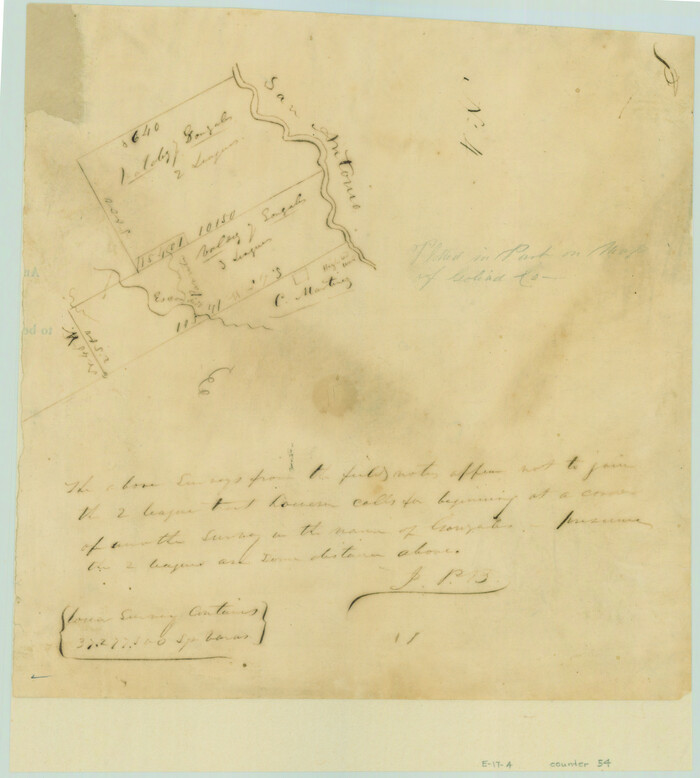
[Valdez and Martinez grants in the Goliad District]
Print $3.00
- Digital $50.00
[Valdez and Martinez grants in the Goliad District]
1842
Size: 10.6 x 9.5 inches
54
[Untitled Map of Baja California & West Coast of Mexico]

Print $20.00
- Digital $50.00
[Untitled Map of Baja California & West Coast of Mexico]
1541
Size: 11.1 x 16.7 inches
97353
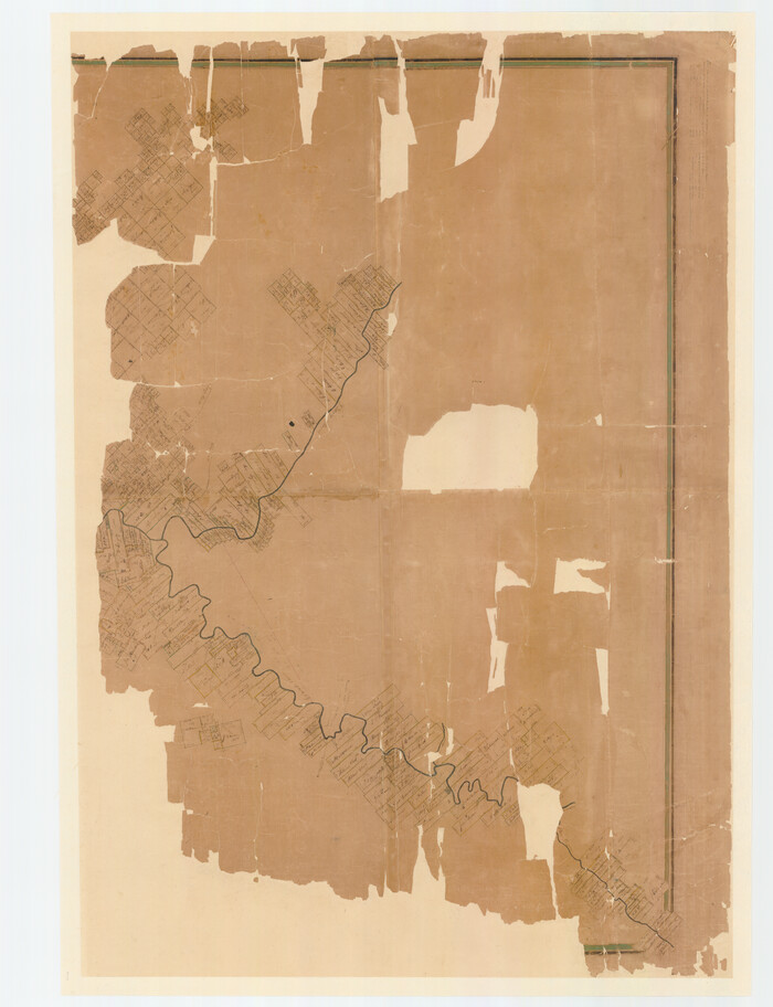
[Travis District]
Print $40.00
- Digital $50.00
[Travis District]
1840
Size: 54.7 x 42.0 inches
88739
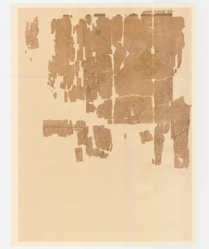
[Travis District]
Print $40.00
- Digital $50.00
[Travis District]
1840
Size: 54.7 x 46.0 inches
88740
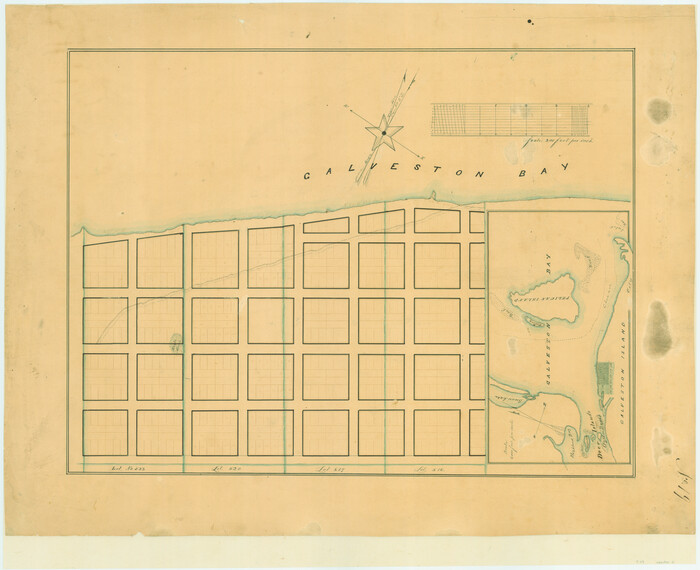
[Town lots on Galveston Island]
Print $20.00
- Digital $50.00
[Town lots on Galveston Island]
1839
Size: 18.8 x 23.0 inches
11
[Surveys on the Sabine River, Sulphur Fork of the Red River, and the Bois d'Arc River for Johnson, Williams, and Peebles' contract and G. W. Smyth, commissioner]
Print $20.00
- Digital $50.00
[Surveys on the Sabine River, Sulphur Fork of the Red River, and the Bois d'Arc River for Johnson, Williams, and Peebles' contract and G. W. Smyth, commissioner]
1835
Size: 23.6 x 25.9 inches
44
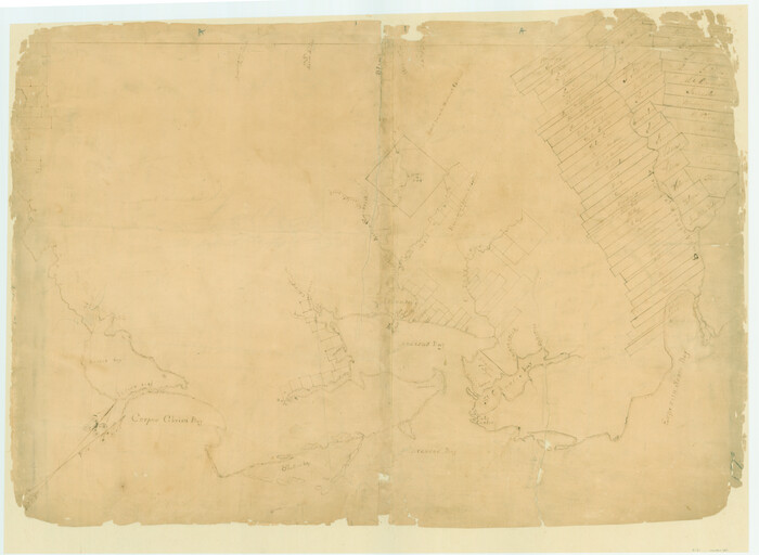
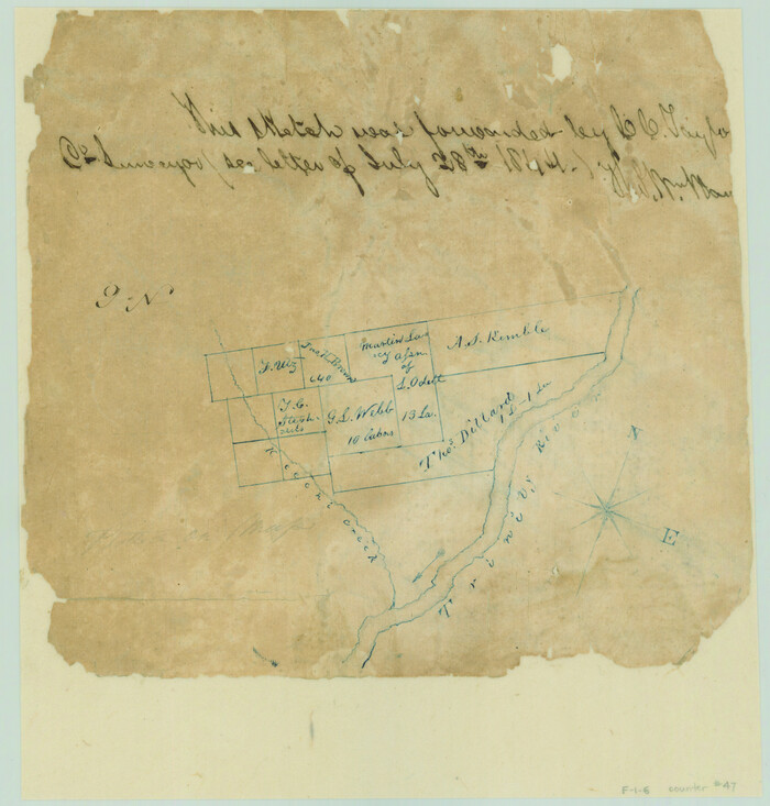
[Surveys on San Antonio River and Aransas Bay area]
Print $20.00
- Digital $50.00
[Surveys on San Antonio River and Aransas Bay area]
1840
Size: 24.1 x 33.0 inches
141
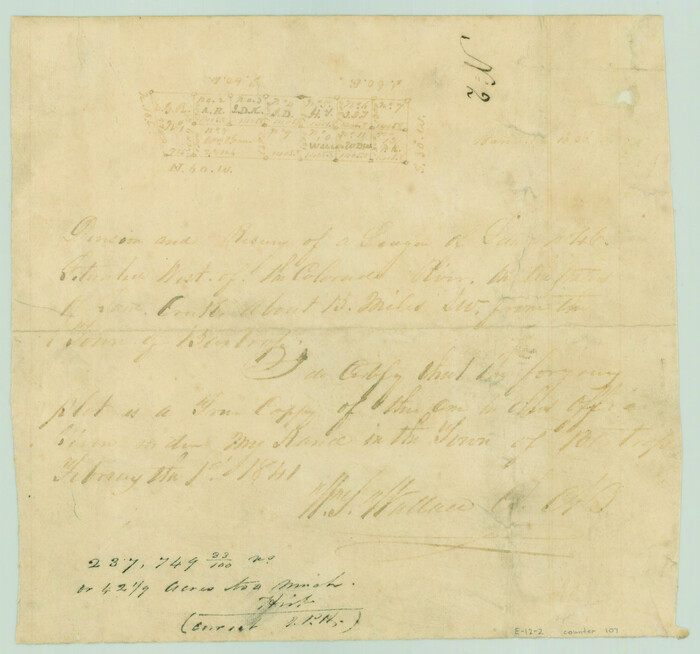
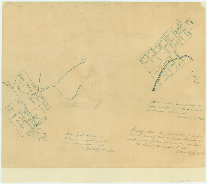
[Surveys near the city of Bastrop]
Print $2.00
- Digital $50.00
[Surveys near the city of Bastrop]
1841
Size: 6.5 x 7.0 inches
107
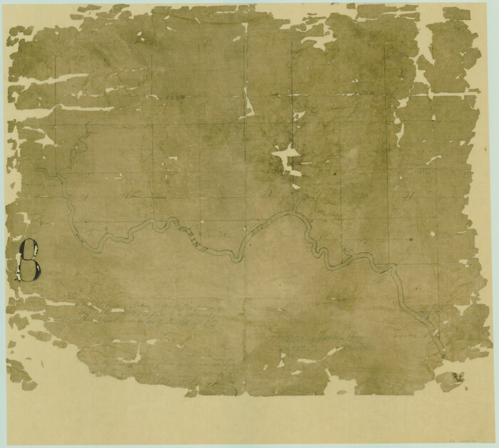
[Surveys near the Sabine River]
Print $20.00
- Digital $50.00
[Surveys near the Sabine River]
1840
Size: 18.8 x 20.9 inches
302
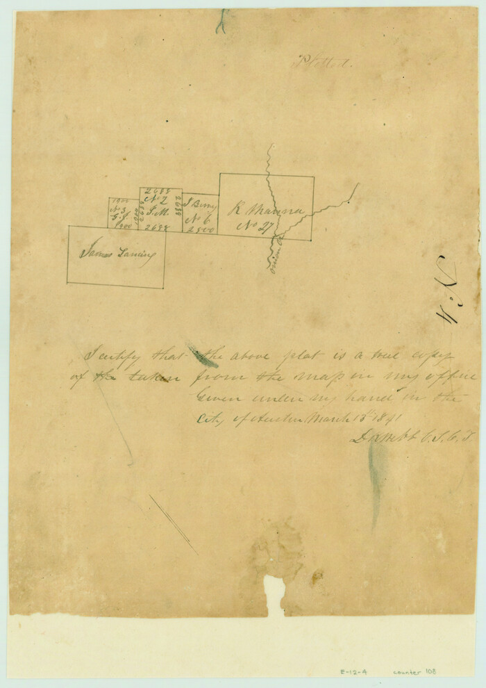
[Surveys near Onion Creek]
Print $2.00
- Digital $50.00
[Surveys near Onion Creek]
1841
Size: 11.0 x 7.8 inches
108
[Surveys near Lake Soda made under G.W. Smyth, Commissioner]
Print $20.00
- Digital $50.00
[Surveys near Lake Soda made under G.W. Smyth, Commissioner]
1835
Size: 16.0 x 19.3 inches
73
[Surveys near Keechi Creek and the Trinity River]
Print $2.00
- Digital $50.00
[Surveys near Keechi Creek and the Trinity River]
1841
Size: 8.6 x 8.2 inches
47
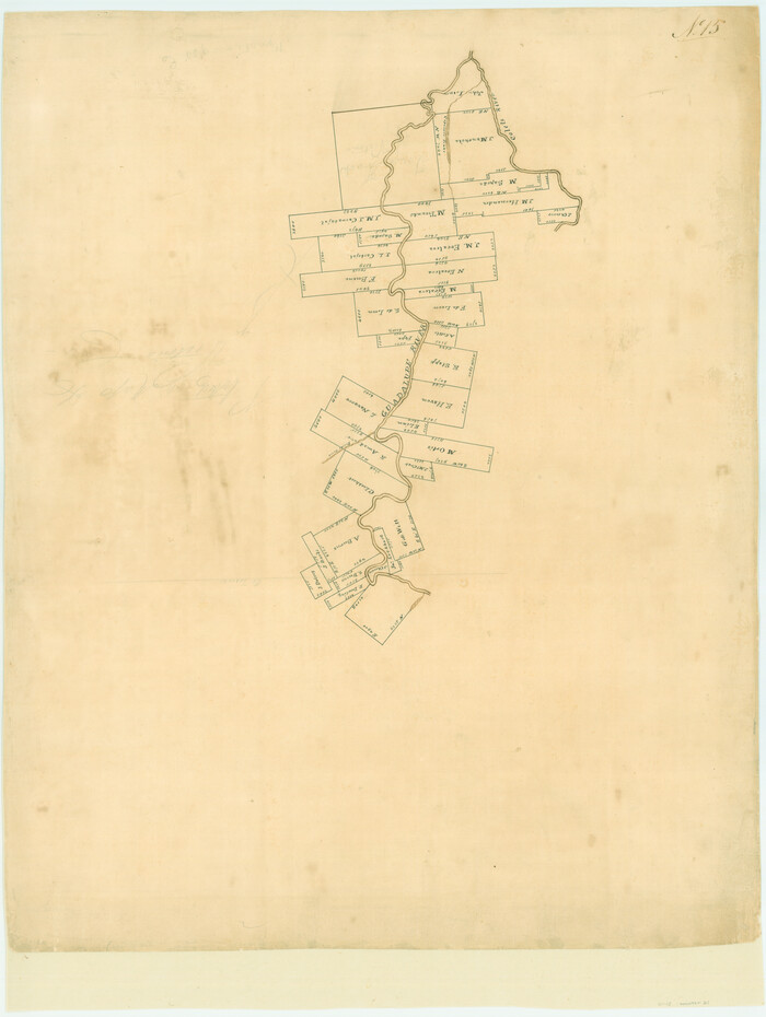
[Surveys in the Victoria District along the Guadalupe and Coleto Rivers]
Print $20.00
- Digital $50.00
[Surveys in the Victoria District along the Guadalupe and Coleto Rivers]
1840
Size: 26.0 x 19.6 inches
21
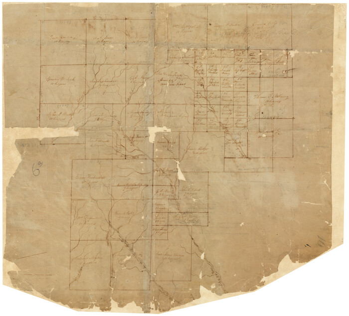
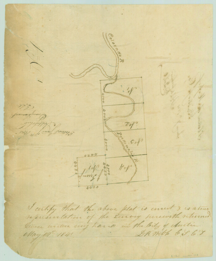
[Surveys in the Travis District along the Colorado and Pedernales Rivers]
Print $2.00
- Digital $50.00
[Surveys in the Travis District along the Colorado and Pedernales Rivers]
1841
Size: 9.9 x 8.2 inches
113
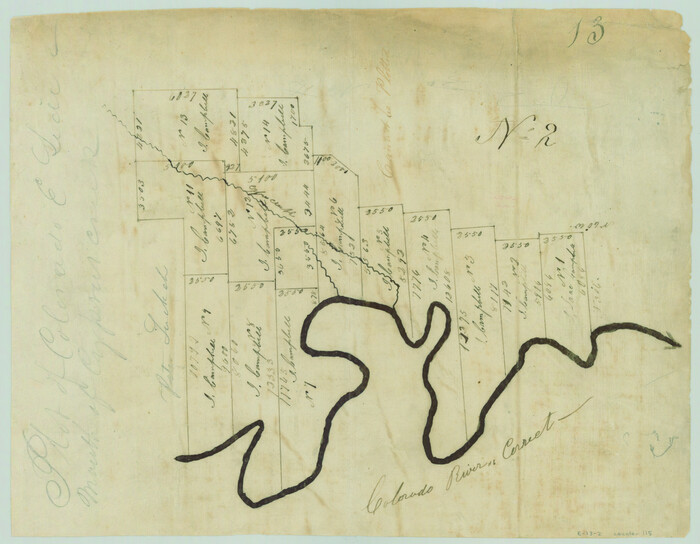
[Surveys in the Travis District along the Colorado River]
Print $2.00
- Digital $50.00
[Surveys in the Travis District along the Colorado River]
1840
Size: 8.0 x 10.2 inches
115
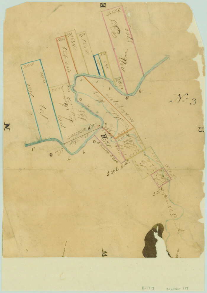
[Surveys in the Travis District along the Colorado River]
Print $2.00
- Digital $50.00
[Surveys in the Travis District along the Colorado River]
1840
Size: 8.9 x 6.3 inches
117
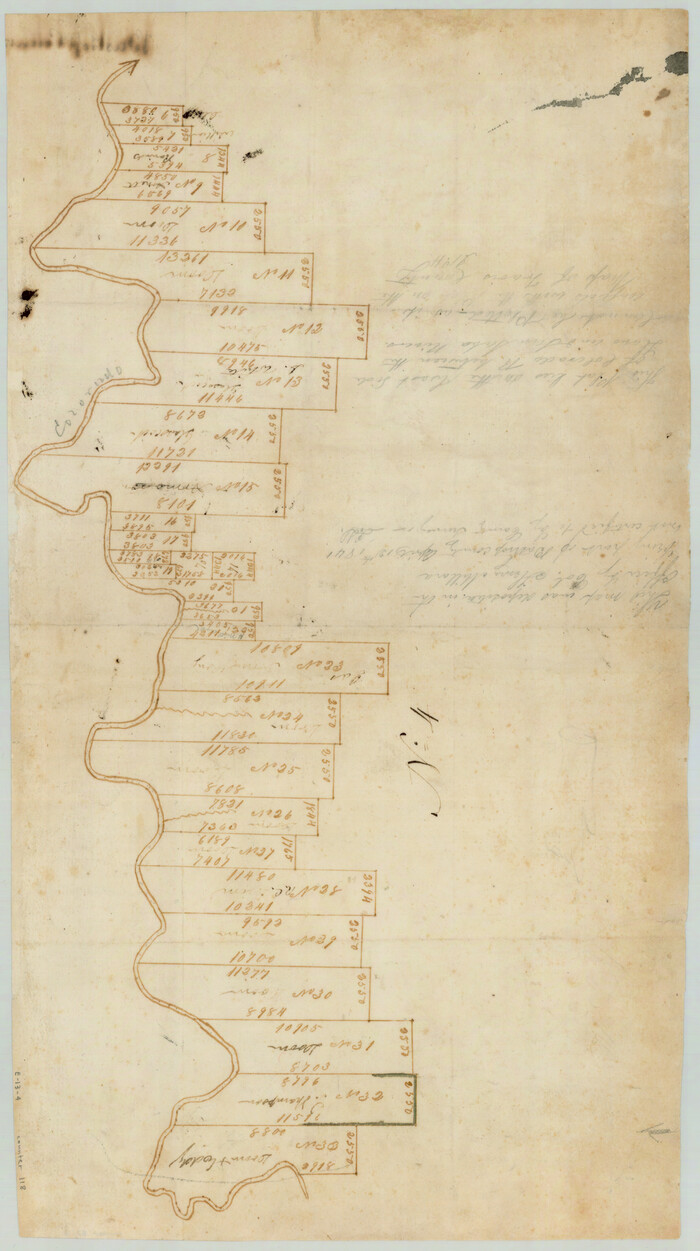
[Surveys in the Travis District along the Colorado River]
Print $2.00
- Digital $50.00
[Surveys in the Travis District along the Colorado River]
1841
Size: 8.6 x 15.3 inches
118
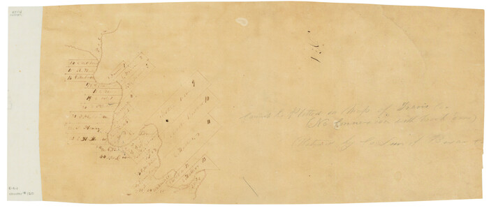
[Surveys in the Travis District along the Colorado River]
Print $3.00
- Digital $50.00
[Surveys in the Travis District along the Colorado River]
1841
Size: 7.0 x 16.5 inches
120
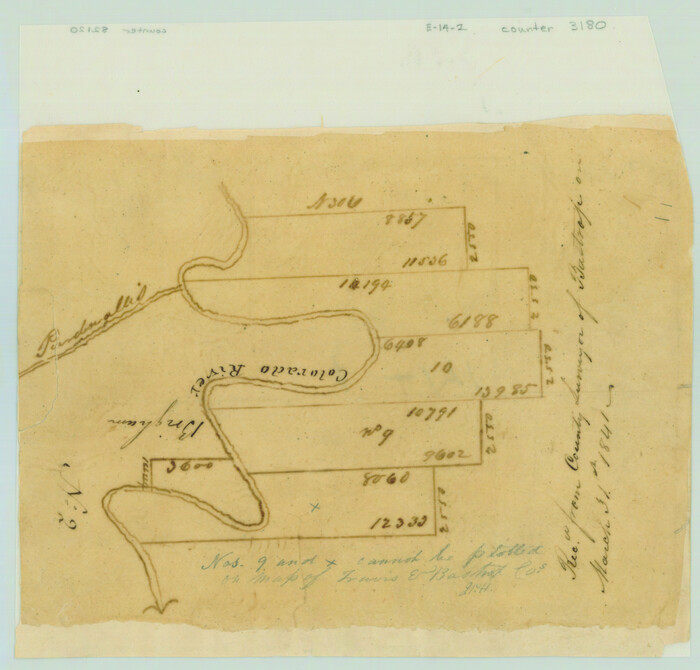
[Surveys in the Travis District along the Colorado River]
Print $2.00
- Digital $50.00
[Surveys in the Travis District along the Colorado River]
1841
Size: 7.0 x 7.3 inches
3180
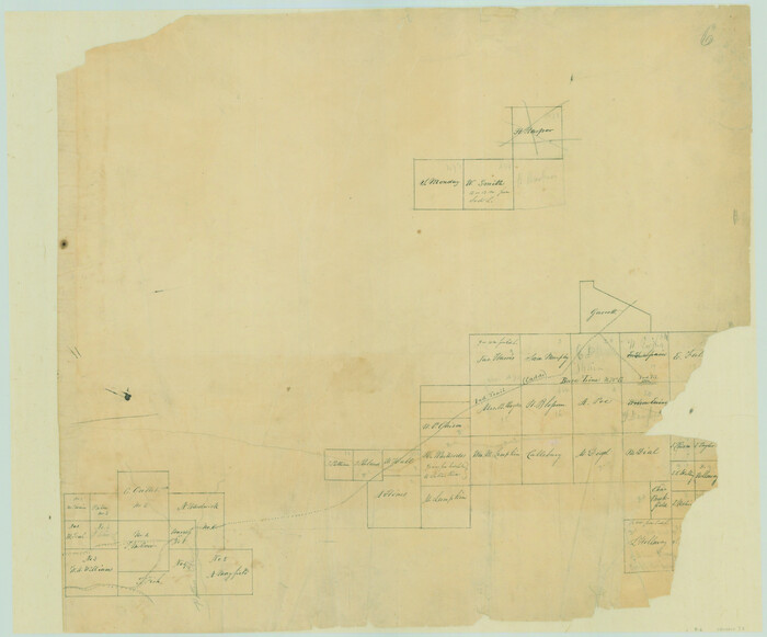
[Surveys in the Travis District along Onion Creek and the Pedernales River]
Print $20.00
- Digital $50.00
[Surveys in the Travis District along Onion Creek and the Pedernales River]
1841
Size: 14.0 x 15.8 inches
40
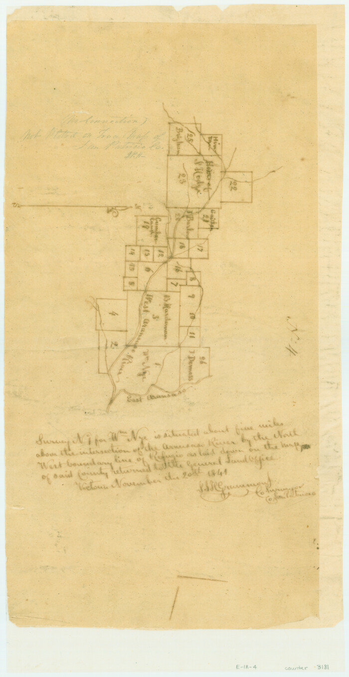
[Surveys in the San Patricio District along the West Aransas River]
Print $2.00
- Digital $50.00
[Surveys in the San Patricio District along the West Aransas River]
1841
Size: 16.1 x 8.3 inches
3181
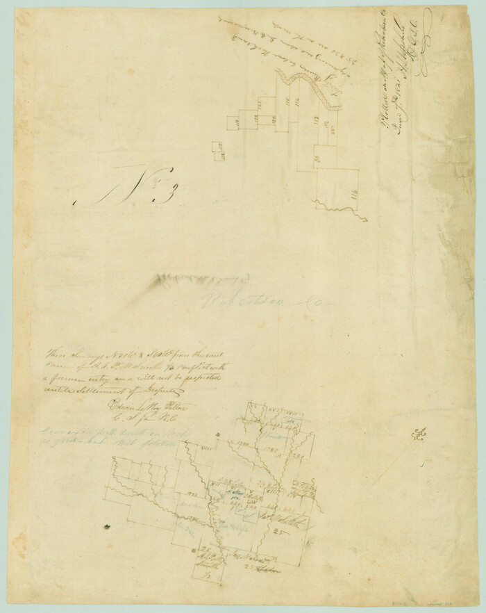
[Surveys in the Robertson District along the Trinity River and Richland Creek]
Print $20.00
- Digital $50.00
[Surveys in the Robertson District along the Trinity River and Richland Creek]
1841
Size: 15.3 x 12.2 inches
104
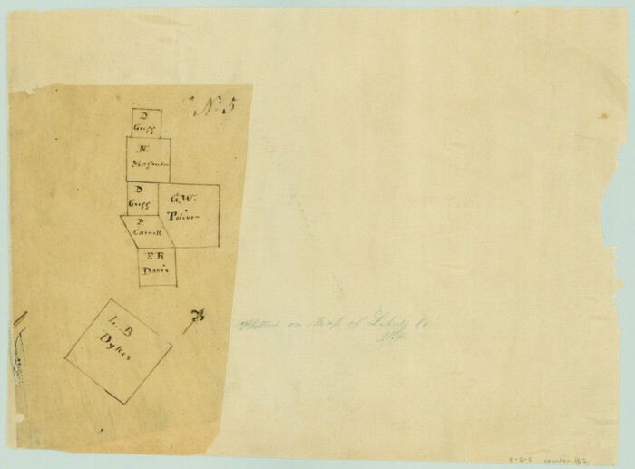
[Surveys in the Liberty District]
Print $2.00
- Digital $50.00
[Surveys in the Liberty District]
1841
Size: 7.6 x 10.3 inches
162
[Surveys in the Liberty District]
Print $2.00
- Digital $50.00
[Surveys in the Liberty District]
1841
Size: 7.0 x 10.7 inches
273
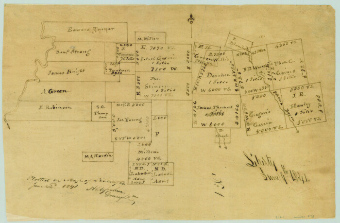
[Surveys in the Jefferson District]
Print $2.00
- Digital $50.00
[Surveys in the Jefferson District]
1841
Size: 8.3 x 8.0 inches
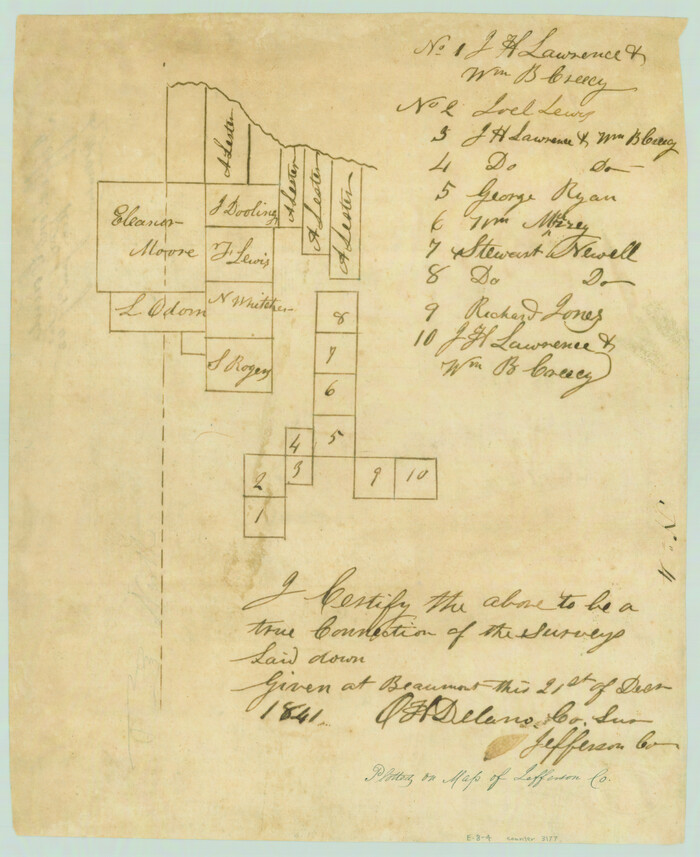
275
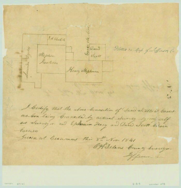
[Surveys in the Jefferson District]
Print $2.00
- Digital $50.00
[Surveys in the Jefferson District]
1841
Size: 9.8 x 8.0 inches
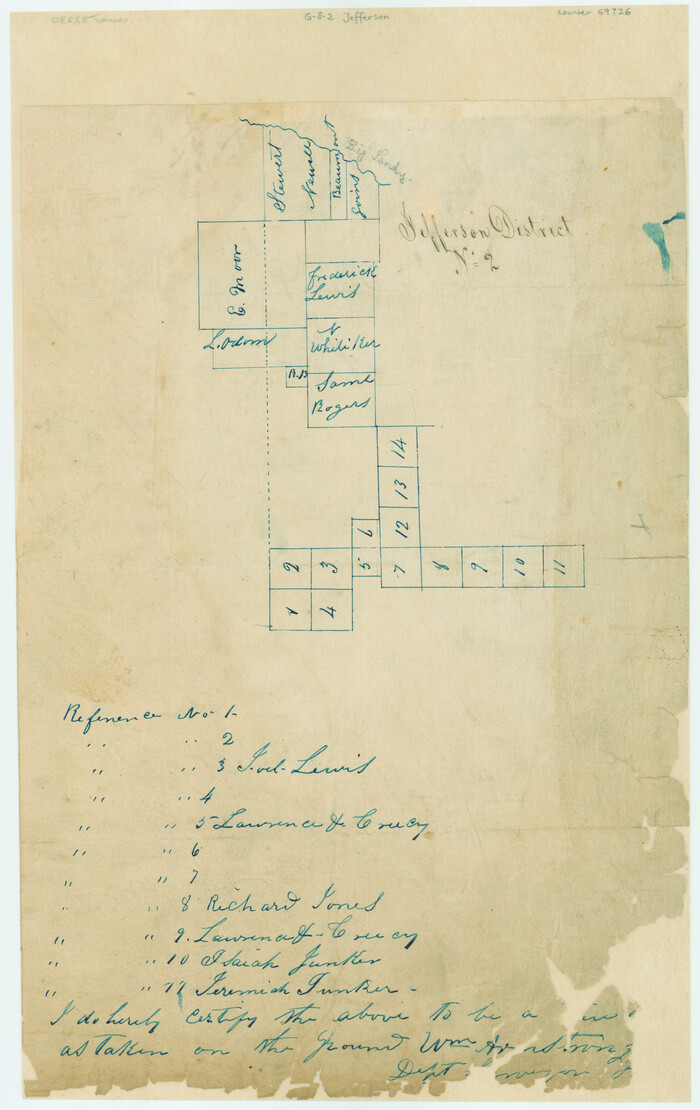
3177
[Surveys in the Jefferson District]
Print $20.00
- Digital $50.00
[Surveys in the Jefferson District]
1841
Size: 14.6 x 21.2 inches
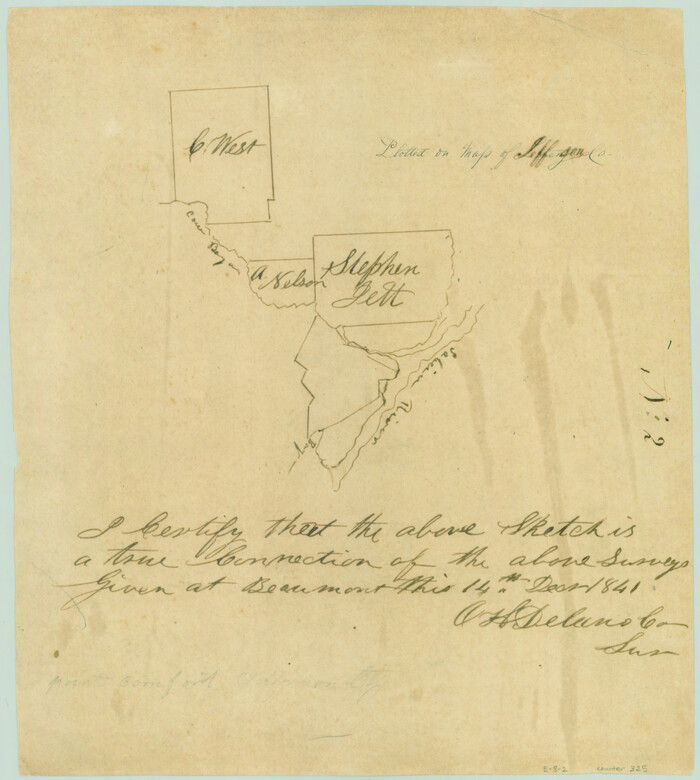
69726
[Surveys in the Jefferson District on the Sabine River]
Print $2.00
- Digital $50.00
[Surveys in the Jefferson District on the Sabine River]
1841
Size: 8.7 x 7.8 inches
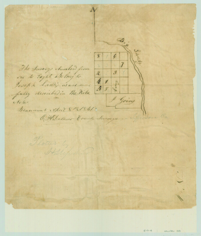
325
[Surveys in the Jefferson District along Big Sandy Creek]
Print $2.00
- Digital $50.00
[Surveys in the Jefferson District along Big Sandy Creek]
1841
Size: 9.5 x 8.1 inches
100
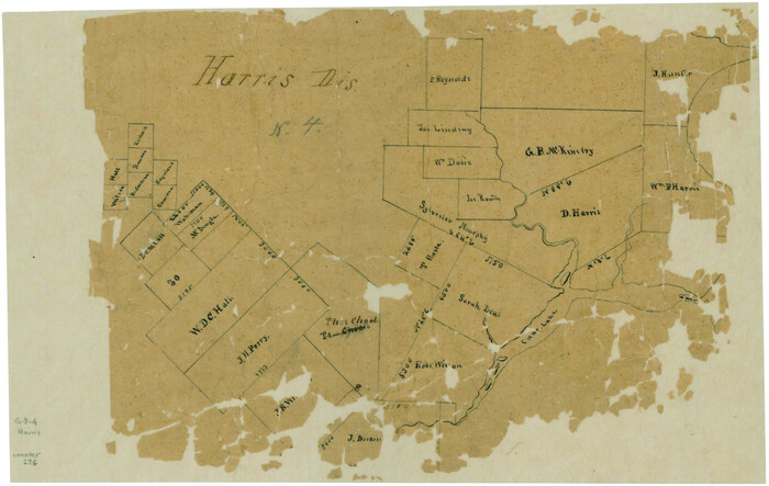
[Surveys in the Harris District at Clear Lake]
Print $2.00
- Digital $50.00
[Surveys in the Harris District at Clear Lake]
1840
Size: 6.7 x 10.5 inches
276
[Valdez and Martinez grants in the Goliad District]
Print $3.00
- Digital $50.00
[Valdez and Martinez grants in the Goliad District]
1842
-
Size
10.6 x 9.5 inches
-
Map/Doc
54
-
Creation Date
1842
[Untitled Map of Baja California & West Coast of Mexico]
Print $20.00
- Digital $50.00
[Untitled Map of Baja California & West Coast of Mexico]
1541
-
Size
11.1 x 16.7 inches
-
Map/Doc
97353
-
Creation Date
1541
[Travis District]
Print $40.00
- Digital $50.00
[Travis District]
1840
-
Size
54.7 x 42.0 inches
-
Map/Doc
88739
-
Creation Date
1840
[Travis District]
Print $40.00
- Digital $50.00
[Travis District]
1840
-
Size
54.7 x 46.0 inches
-
Map/Doc
88740
-
Creation Date
1840
[Town lots on Galveston Island]
Print $20.00
- Digital $50.00
[Town lots on Galveston Island]
1839
-
Size
18.8 x 23.0 inches
-
Map/Doc
11
-
Creation Date
1839
[Surveys on the Sabine River, Sulphur Fork of the Red River, and the Bois d'Arc River for Johnson, Williams, and Peebles' contract and G. W. Smyth, commissioner]
Print $20.00
- Digital $50.00
[Surveys on the Sabine River, Sulphur Fork of the Red River, and the Bois d'Arc River for Johnson, Williams, and Peebles' contract and G. W. Smyth, commissioner]
1835
-
Size
23.6 x 25.9 inches
-
Map/Doc
44
-
Creation Date
1835
[Surveys on San Antonio River and Aransas Bay area]
Print $20.00
- Digital $50.00
[Surveys on San Antonio River and Aransas Bay area]
1840
-
Size
24.1 x 33.0 inches
-
Map/Doc
141
-
Creation Date
1840
[Surveys near the city of Bastrop]
Print $2.00
- Digital $50.00
[Surveys near the city of Bastrop]
1841
-
Size
6.5 x 7.0 inches
-
Map/Doc
107
-
Creation Date
1841
[Surveys near the Sabine River]
Print $20.00
- Digital $50.00
[Surveys near the Sabine River]
1840
-
Size
18.8 x 20.9 inches
-
Map/Doc
302
-
Creation Date
1840
[Surveys near Onion Creek]
Print $2.00
- Digital $50.00
[Surveys near Onion Creek]
1841
-
Size
11.0 x 7.8 inches
-
Map/Doc
108
-
Creation Date
1841
[Surveys near Lake Soda made under G.W. Smyth, Commissioner]
Print $20.00
- Digital $50.00
[Surveys near Lake Soda made under G.W. Smyth, Commissioner]
1835
-
Size
16.0 x 19.3 inches
-
Map/Doc
73
-
Creation Date
1835
[Surveys near Keechi Creek and the Trinity River]
Print $2.00
- Digital $50.00
[Surveys near Keechi Creek and the Trinity River]
1841
-
Size
8.6 x 8.2 inches
-
Map/Doc
47
-
Creation Date
1841
[Surveys in the Victoria District along the Guadalupe and Coleto Rivers]
Print $20.00
- Digital $50.00
[Surveys in the Victoria District along the Guadalupe and Coleto Rivers]
1840
-
Size
26.0 x 19.6 inches
-
Map/Doc
21
-
Creation Date
1840
[Surveys in the Travis District along the Colorado and Pedernales Rivers]
Print $2.00
- Digital $50.00
[Surveys in the Travis District along the Colorado and Pedernales Rivers]
1841
-
Size
9.9 x 8.2 inches
-
Map/Doc
113
-
Creation Date
1841
[Surveys in the Travis District along the Colorado River]
Print $2.00
- Digital $50.00
[Surveys in the Travis District along the Colorado River]
1840
-
Size
8.0 x 10.2 inches
-
Map/Doc
115
-
Creation Date
1840
[Surveys in the Travis District along the Colorado River]
Print $2.00
- Digital $50.00
[Surveys in the Travis District along the Colorado River]
1840
-
Size
8.9 x 6.3 inches
-
Map/Doc
117
-
Creation Date
1840
[Surveys in the Travis District along the Colorado River]
Print $2.00
- Digital $50.00
[Surveys in the Travis District along the Colorado River]
1841
-
Size
8.6 x 15.3 inches
-
Map/Doc
118
-
Creation Date
1841
[Surveys in the Travis District along the Colorado River]
Print $3.00
- Digital $50.00
[Surveys in the Travis District along the Colorado River]
1841
-
Size
7.0 x 16.5 inches
-
Map/Doc
120
-
Creation Date
1841
[Surveys in the Travis District along the Colorado River]
Print $2.00
- Digital $50.00
[Surveys in the Travis District along the Colorado River]
1841
-
Size
7.0 x 7.3 inches
-
Map/Doc
3180
-
Creation Date
1841
[Surveys in the Travis District along Onion Creek and the Pedernales River]
Print $20.00
- Digital $50.00
[Surveys in the Travis District along Onion Creek and the Pedernales River]
1841
-
Size
14.0 x 15.8 inches
-
Map/Doc
40
-
Creation Date
1841
[Surveys in the San Patricio District along the West Aransas River]
Print $2.00
- Digital $50.00
[Surveys in the San Patricio District along the West Aransas River]
1841
-
Size
16.1 x 8.3 inches
-
Map/Doc
3181
-
Creation Date
1841
[Surveys in the Robertson District along the Trinity River and Richland Creek]
Print $20.00
- Digital $50.00
[Surveys in the Robertson District along the Trinity River and Richland Creek]
1841
-
Size
15.3 x 12.2 inches
-
Map/Doc
104
-
Creation Date
1841
[Surveys in the Liberty District]
Print $2.00
- Digital $50.00
[Surveys in the Liberty District]
1841
-
Size
7.6 x 10.3 inches
-
Map/Doc
162
-
Creation Date
1841
[Surveys in the Liberty District]
Print $2.00
- Digital $50.00
[Surveys in the Liberty District]
1841
-
Size
7.0 x 10.7 inches
-
Map/Doc
273
-
Creation Date
1841
[Surveys in the Jefferson District]
Print $2.00
- Digital $50.00
[Surveys in the Jefferson District]
1841
-
Size
8.3 x 8.0 inches
-
Map/Doc
275
-
Creation Date
1841
[Surveys in the Jefferson District]
Print $2.00
- Digital $50.00
[Surveys in the Jefferson District]
1841
-
Size
9.8 x 8.0 inches
-
Map/Doc
3177
-
Creation Date
1841
[Surveys in the Jefferson District]
Print $20.00
- Digital $50.00
[Surveys in the Jefferson District]
1841
-
Size
14.6 x 21.2 inches
-
Map/Doc
69726
-
Creation Date
1841
[Surveys in the Jefferson District on the Sabine River]
Print $2.00
- Digital $50.00
[Surveys in the Jefferson District on the Sabine River]
1841
-
Size
8.7 x 7.8 inches
-
Map/Doc
325
-
Creation Date
1841
[Surveys in the Jefferson District along Big Sandy Creek]
Print $2.00
- Digital $50.00
[Surveys in the Jefferson District along Big Sandy Creek]
1841
-
Size
9.5 x 8.1 inches
-
Map/Doc
100
-
Creation Date
1841
[Surveys in the Harris District at Clear Lake]
Print $2.00
- Digital $50.00
[Surveys in the Harris District at Clear Lake]
1840
-
Size
6.7 x 10.5 inches
-
Map/Doc
276
-
Creation Date
1840