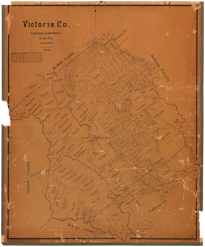
The North Part of America Conteyning Newfoundland, New England, Virginia, Florida, New Spaine, and Nova Francia
-
Map/Doc
97028
-
Collection
General Map Collection
-
Object Dates
[1625] (Creation Date)
-
People and Organizations
Henry Briggs (Cartographer)
-
Subjects
North America Mexico
-
Height x Width
12.6 x 16.2 inches
32.0 x 41.2 cm
-
Medium
paper, etching/engraving/lithograph
Part of: General Map Collection
Armstrong County Sketch File A-1
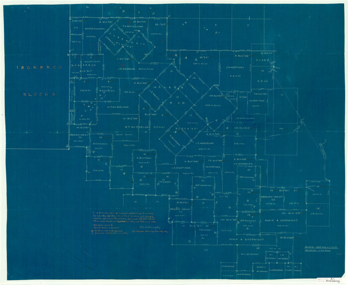

Print $40.00
- Digital $50.00
Armstrong County Sketch File A-1
Size 28.1 x 34.3 inches
Map/Doc 10842
Erath County Sketch File A


Print $4.00
- Digital $50.00
Erath County Sketch File A
Size 8.6 x 11.0 inches
Map/Doc 22249
Flight Mission No. CGI-3N, Frame 100, Cameron County


Print $20.00
- Digital $50.00
Flight Mission No. CGI-3N, Frame 100, Cameron County
1954
Size 18.6 x 22.3 inches
Map/Doc 84580
King County Rolled Sketch 11
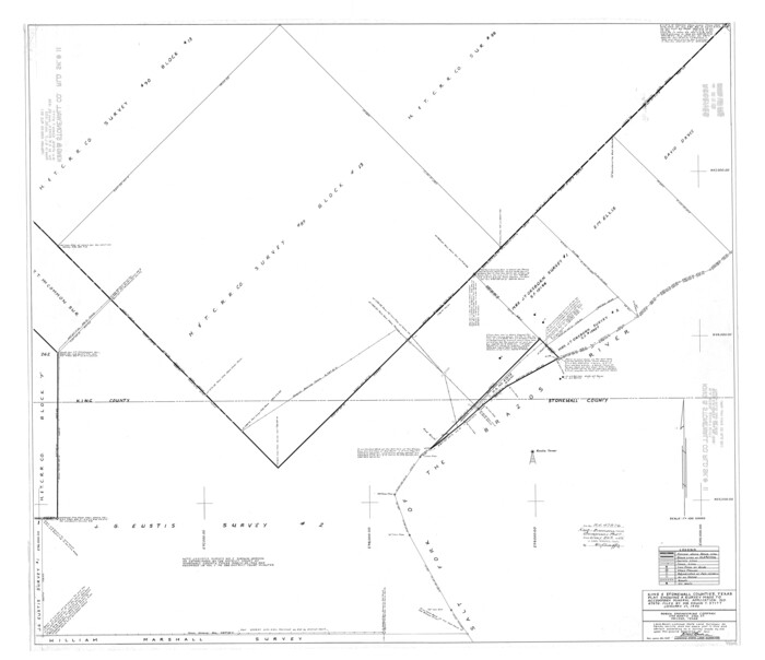

Print $20.00
- Digital $50.00
King County Rolled Sketch 11
1955
Size 40.2 x 46.6 inches
Map/Doc 9351
Wood County Sketch File 8


Print $6.00
- Digital $50.00
Wood County Sketch File 8
1850
Size 12.5 x 8.3 inches
Map/Doc 40653
Flight Mission No. CRC-4R, Frame 79, Chambers County


Print $20.00
- Digital $50.00
Flight Mission No. CRC-4R, Frame 79, Chambers County
1956
Size 18.9 x 22.6 inches
Map/Doc 84883
[Sketch for Mineral Application 20124, North Fork of Red River]
![77087, [Sketch for Mineral Application 20124, North Fork of Red River], General Map Collection](https://historictexasmaps.com/skins/default/img/placeholder/w700.png)
![77087, [Sketch for Mineral Application 20124, North Fork of Red River], General Map Collection](https://historictexasmaps.com/skins/default/img/placeholder/w700.png)
Print $40.00
- Digital $50.00
[Sketch for Mineral Application 20124, North Fork of Red River]
Size 50.8 x 43.5 inches
Map/Doc 77087
[Bastrop County line]
![65, [Bastrop County line], General Map Collection](https://historictexasmaps.com/wmedia_w700/maps/65.tif.jpg)
![65, [Bastrop County line], General Map Collection](https://historictexasmaps.com/wmedia_w700/maps/65.tif.jpg)
Print $2.00
- Digital $50.00
[Bastrop County line]
1841
Size 7.8 x 6.3 inches
Map/Doc 65
Somervell County Working Sketch Graphic Index
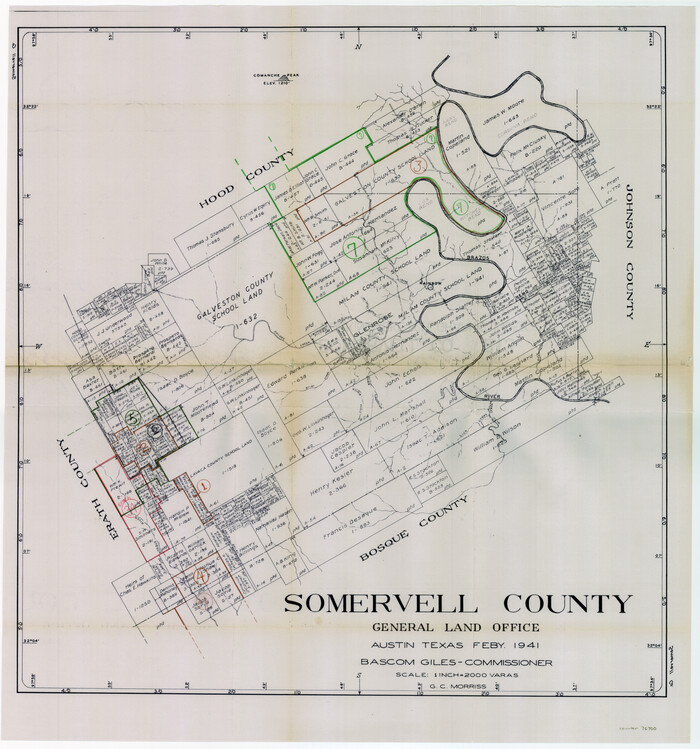

Print $20.00
- Digital $50.00
Somervell County Working Sketch Graphic Index
1941
Size 27.0 x 25.7 inches
Map/Doc 76700
Glasscock County Rolled Sketch 12
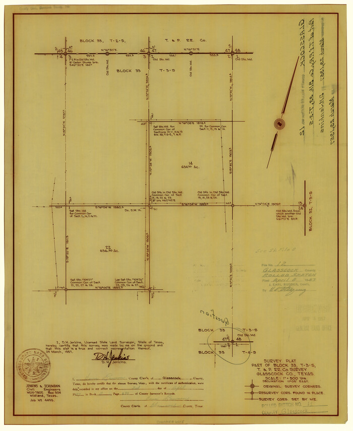

Print $20.00
- Digital $50.00
Glasscock County Rolled Sketch 12
1957
Size 19.6 x 16.1 inches
Map/Doc 6018
PSL Field Notes for Block CS in Hartley County


PSL Field Notes for Block CS in Hartley County
Map/Doc 81656
You may also like
Menard County Sketch File 27


Print $8.00
- Digital $50.00
Menard County Sketch File 27
1943
Size 11.2 x 8.8 inches
Map/Doc 31564
Map of the Reconnaissance in Texas by Lieuts Blake & Meade of the Corps of Topl. Engrs.


Print $20.00
- Digital $50.00
Map of the Reconnaissance in Texas by Lieuts Blake & Meade of the Corps of Topl. Engrs.
1845
Size 27.6 x 18.2 inches
Map/Doc 72891
Van Zandt County Sketch File 5


Print $22.00
- Digital $50.00
Van Zandt County Sketch File 5
Size 20.5 x 6.3 inches
Map/Doc 39371
Edwards County Working Sketch 1
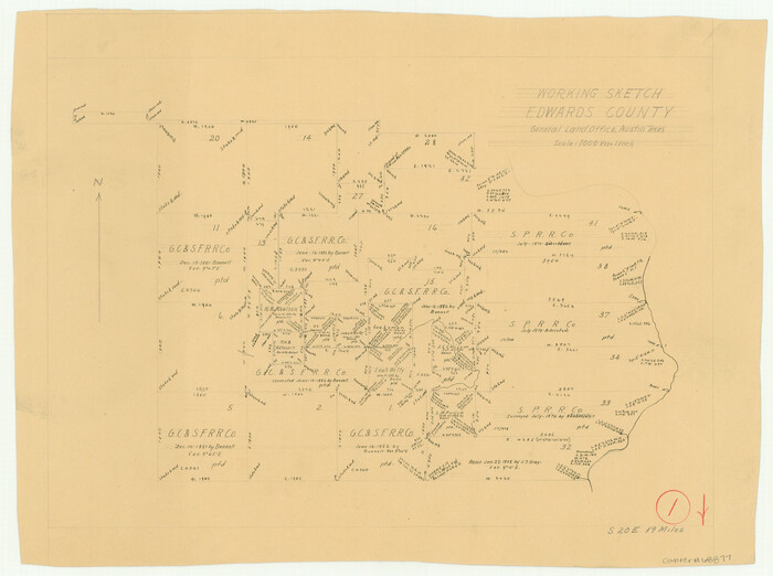

Print $20.00
- Digital $50.00
Edwards County Working Sketch 1
Size 12.2 x 16.4 inches
Map/Doc 68877
Plan of Driving Park Addition composed of Out-lots 37, 38, 39, 49, 50, 60, & 61, Division "O" in the City of Austin
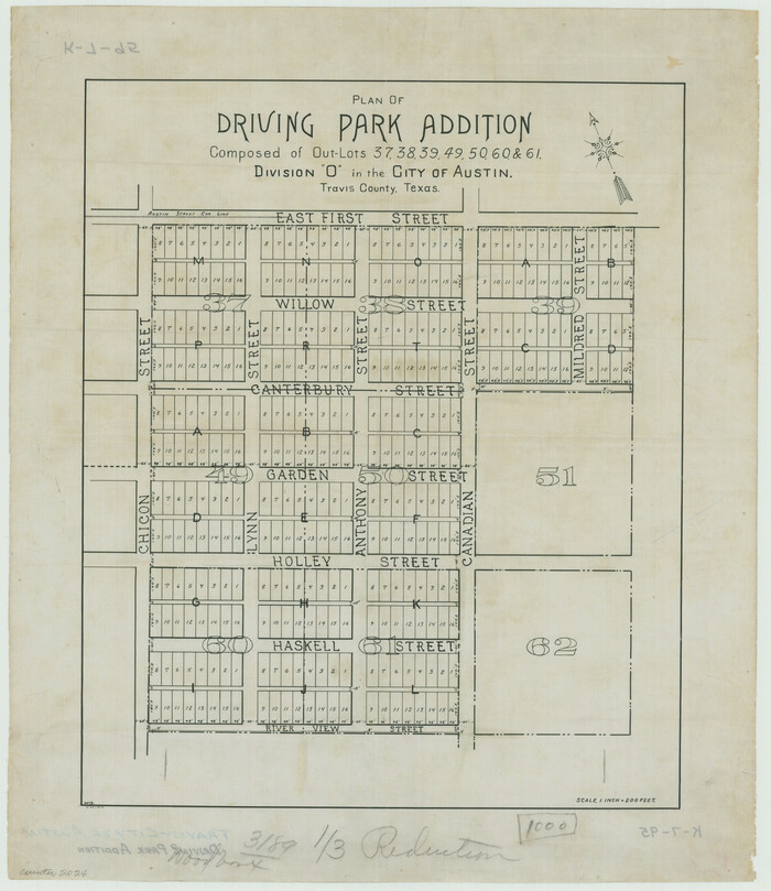

Print $20.00
- Digital $50.00
Plan of Driving Park Addition composed of Out-lots 37, 38, 39, 49, 50, 60, & 61, Division "O" in the City of Austin
1910
Size 18.4 x 15.9 inches
Map/Doc 2024
Harris County Sketch File 12

Print $40.00
- Digital $50.00
Harris County Sketch File 12
1896
Size 16.1 x 12.5 inches
Map/Doc 25353
Lamar County Working Sketch 3
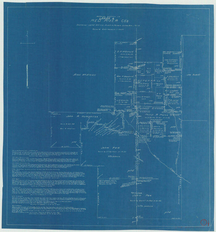

Print $20.00
- Digital $50.00
Lamar County Working Sketch 3
1919
Size 26.2 x 24.5 inches
Map/Doc 70264
Galveston County Rolled Sketch 49
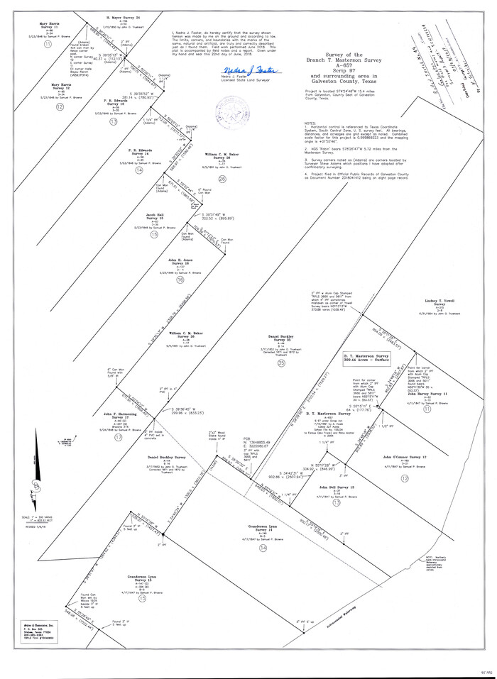

Print $20.00
- Digital $50.00
Galveston County Rolled Sketch 49
2018
Size 30.9 x 22.6 inches
Map/Doc 95386
Rusk County Rolled Sketch 13


Print $20.00
- Digital $50.00
Rusk County Rolled Sketch 13
Size 30.1 x 26.4 inches
Map/Doc 7548
Map of the Survey of the 100th Meridian of Longitude west of Greenwich beginning at Red River and extending to the parallel 36 1/2 degrees north latitude


Print $40.00
- Digital $50.00
Map of the Survey of the 100th Meridian of Longitude west of Greenwich beginning at Red River and extending to the parallel 36 1/2 degrees north latitude
Size 11.4 x 112.2 inches
Map/Doc 93192
Hood County Working Sketch Graphic Index
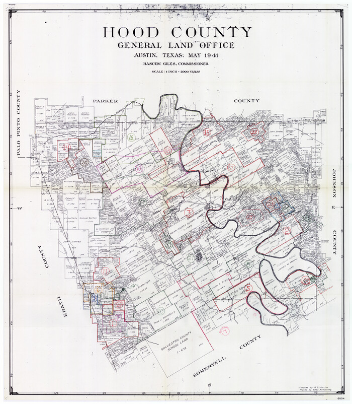

Print $20.00
- Digital $50.00
Hood County Working Sketch Graphic Index
1941
Size 35.9 x 31.8 inches
Map/Doc 76580
Cherokee County Rolled Sketch 2
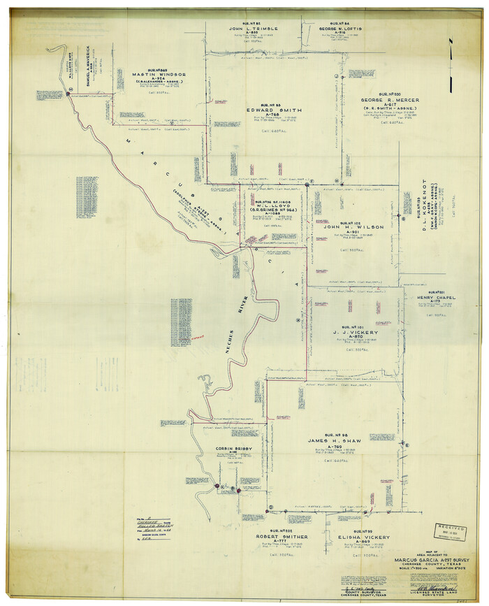

Print $20.00
- Digital $50.00
Cherokee County Rolled Sketch 2
1954
Size 44.6 x 36.0 inches
Map/Doc 8596

