[Connection to Block M-13]
219-4
-
Map/Doc
93040
-
Collection
Twichell Survey Records
-
Counties
Swisher
-
Height x Width
27.1 x 60.0 inches
68.8 x 152.4 cm
Part of: Twichell Survey Records
Map of Pecos County, Texas


Print $20.00
- Digital $50.00
Map of Pecos County, Texas
Size 18.9 x 22.8 inches
Map/Doc 91573
[Map showing Gaines, Dawson, Yoakum, Terry and Lynn Counties]
![92007, [Map showing Gaines, Dawson, Yoakum, Terry and Lynn Counties], Twichell Survey Records](https://historictexasmaps.com/wmedia_w700/maps/92007-1.tif.jpg)
![92007, [Map showing Gaines, Dawson, Yoakum, Terry and Lynn Counties], Twichell Survey Records](https://historictexasmaps.com/wmedia_w700/maps/92007-1.tif.jpg)
Print $20.00
- Digital $50.00
[Map showing Gaines, Dawson, Yoakum, Terry and Lynn Counties]
Size 24.2 x 20.7 inches
Map/Doc 92007
[Sketch centered around Thos. B. Bell survey 98 showing adjacent and nearby surveys]
![90229, [Sketch centered around Thos. B. Bell survey 98 showing adjacent and nearby surveys], Twichell Survey Records](https://historictexasmaps.com/wmedia_w700/maps/90229-1.tif.jpg)
![90229, [Sketch centered around Thos. B. Bell survey 98 showing adjacent and nearby surveys], Twichell Survey Records](https://historictexasmaps.com/wmedia_w700/maps/90229-1.tif.jpg)
Print $20.00
- Digital $50.00
[Sketch centered around Thos. B. Bell survey 98 showing adjacent and nearby surveys]
Size 33.0 x 24.1 inches
Map/Doc 90229
Gaines County, Texas


Print $40.00
- Digital $50.00
Gaines County, Texas
1915
Size 54.1 x 33.0 inches
Map/Doc 89843
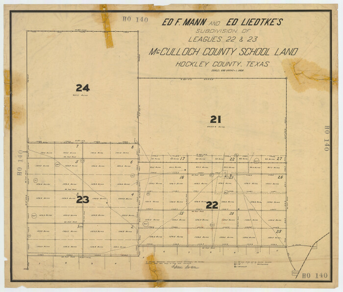
Ed F. Mann and Ed Liedtke's Subdivision of Leagues 22 and 23 McCulloch County School Land Hockley County, Texas

Print $20.00
- Digital $50.00
Ed F. Mann and Ed Liedtke's Subdivision of Leagues 22 and 23 McCulloch County School Land Hockley County, Texas
Size 25.9 x 22.0 inches
Map/Doc 92212
Plat Showing Proposed Dam & Reservoir Under Application No. 561 Located at Mouth of Clear Fork of Brazos River


Print $20.00
- Digital $50.00
Plat Showing Proposed Dam & Reservoir Under Application No. 561 Located at Mouth of Clear Fork of Brazos River
1921
Size 24.0 x 16.6 inches
Map/Doc 92094
[Resurvey of the north half of Block M6]
![90400, [Resurvey of the north half of Block M6], Twichell Survey Records](https://historictexasmaps.com/wmedia_w700/maps/90400-1.tif.jpg)
![90400, [Resurvey of the north half of Block M6], Twichell Survey Records](https://historictexasmaps.com/wmedia_w700/maps/90400-1.tif.jpg)
Print $20.00
- Digital $50.00
[Resurvey of the north half of Block M6]
Size 19.0 x 21.1 inches
Map/Doc 90400
[I. & G. N. Blocks 1 and 2]
![90333, [I. & G. N. Blocks 1 and 2], Twichell Survey Records](https://historictexasmaps.com/wmedia_w700/maps/90333-1.tif.jpg)
![90333, [I. & G. N. Blocks 1 and 2], Twichell Survey Records](https://historictexasmaps.com/wmedia_w700/maps/90333-1.tif.jpg)
Print $20.00
- Digital $50.00
[I. & G. N. Blocks 1 and 2]
Size 21.2 x 37.5 inches
Map/Doc 90333
[Sections 1 & 2, Block S]
![92859, [Sections 1 & 2, Block S], Twichell Survey Records](https://historictexasmaps.com/wmedia_w700/maps/92859-1.tif.jpg)
![92859, [Sections 1 & 2, Block S], Twichell Survey Records](https://historictexasmaps.com/wmedia_w700/maps/92859-1.tif.jpg)
Print $20.00
- Digital $50.00
[Sections 1 & 2, Block S]
Size 27.8 x 15.7 inches
Map/Doc 92859
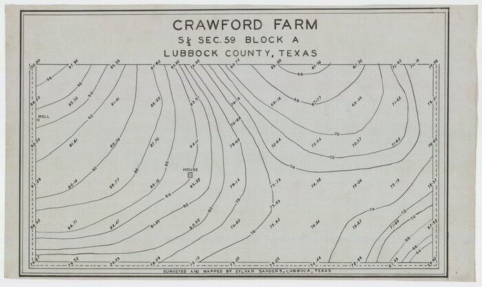
Crawford Farm S 1/2 Section 59, Block A

Print $3.00
- Digital $50.00
Crawford Farm S 1/2 Section 59, Block A
Size 16.5 x 9.9 inches
Map/Doc 92337
[E. L. & R. R. RR. Co. Block B9 and other surveys along Yellow House Creek]
![90872, [E. L. & R. R. RR. Co. Block B9 and other surveys along Yellow House Creek], Twichell Survey Records](https://historictexasmaps.com/wmedia_w700/maps/90872-2.tif.jpg)
![90872, [E. L. & R. R. RR. Co. Block B9 and other surveys along Yellow House Creek], Twichell Survey Records](https://historictexasmaps.com/wmedia_w700/maps/90872-2.tif.jpg)
Print $3.00
- Digital $50.00
[E. L. & R. R. RR. Co. Block B9 and other surveys along Yellow House Creek]
Size 16.4 x 11.7 inches
Map/Doc 90872
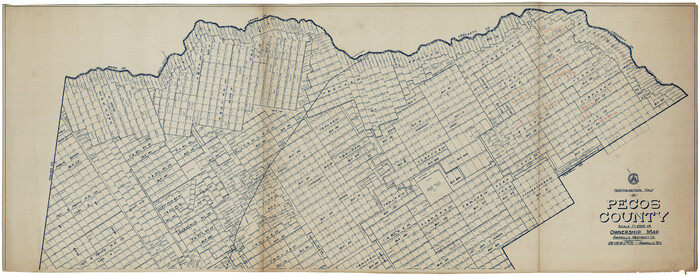
Northeastern Half of Pecos County - Ownership Map

Print $40.00
- Digital $50.00
Northeastern Half of Pecos County - Ownership Map
Size 92.7 x 37.2 inches
Map/Doc 93197
You may also like
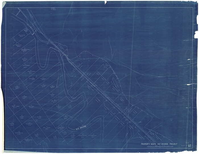
El Paso County Rolled Sketch Z57

Print $20.00
- Digital $50.00
El Paso County Rolled Sketch Z57
1915
Size 36.5 x 47.2 inches
Map/Doc 8871
City of Port Aransas
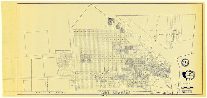

Print $40.00
- Digital $50.00
City of Port Aransas
1990
Size 25.2 x 53.3 inches
Map/Doc 3213
[Sketch showing Blocks B8, B15, 43, 44, 45]
![90925, [Sketch showing Blocks B8, B15, 43, 44, 45], Twichell Survey Records](https://historictexasmaps.com/wmedia_w700/maps/90925-1.tif.jpg)
![90925, [Sketch showing Blocks B8, B15, 43, 44, 45], Twichell Survey Records](https://historictexasmaps.com/wmedia_w700/maps/90925-1.tif.jpg)
Print $20.00
- Digital $50.00
[Sketch showing Blocks B8, B15, 43, 44, 45]
Size 46.7 x 22.7 inches
Map/Doc 90925
Lavaca County Working Sketch 5
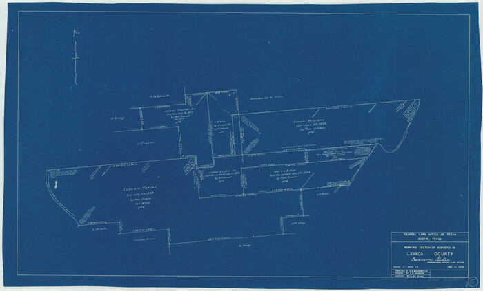

Print $20.00
- Digital $50.00
Lavaca County Working Sketch 5
1940
Size 21.3 x 35.2 inches
Map/Doc 70358
Lubbock County Boundary File 2
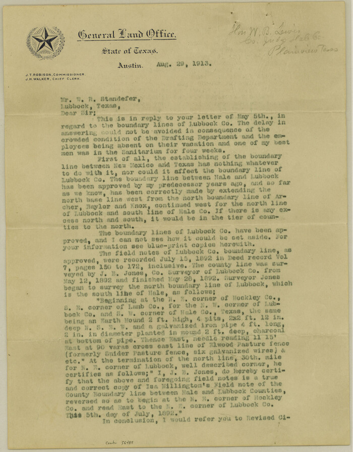

Print $6.00
- Digital $50.00
Lubbock County Boundary File 2
Size 11.2 x 8.8 inches
Map/Doc 56488
Current Miscellaneous File 110
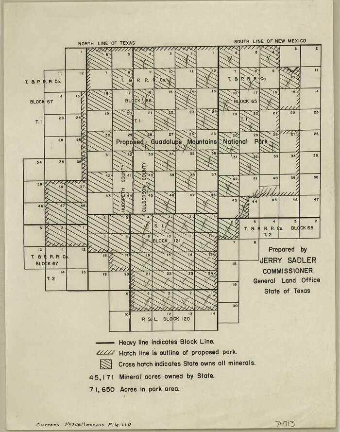

Print $62.00
- Digital $50.00
Current Miscellaneous File 110
1972
Size 11.1 x 8.8 inches
Map/Doc 74713
Polk County Working Sketch 4
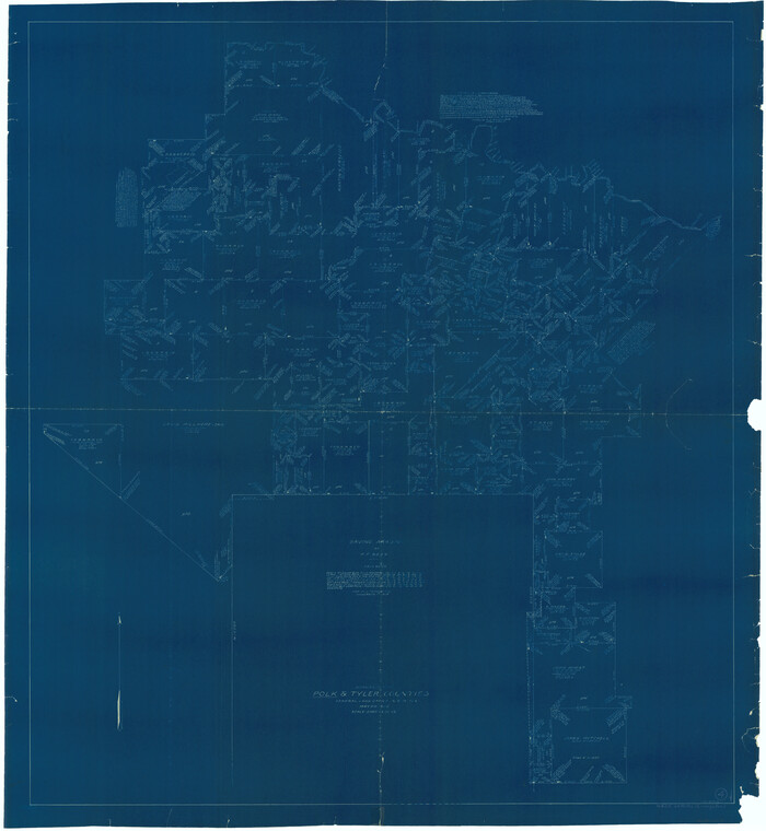

Print $20.00
- Digital $50.00
Polk County Working Sketch 4
1925
Size 46.3 x 42.6 inches
Map/Doc 71619
Johnson County Working Sketch 31
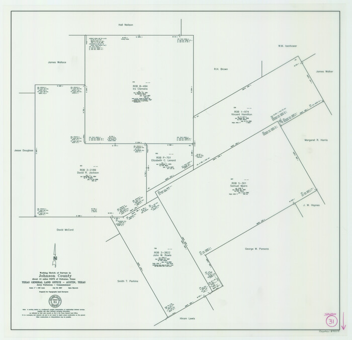

Print $20.00
- Digital $50.00
Johnson County Working Sketch 31
2007
Size 21.2 x 22.0 inches
Map/Doc 87499
Reconnaissance of the Coast of Texas between Matagorda and Corpus Christi Bays


Print $20.00
- Digital $50.00
Reconnaissance of the Coast of Texas between Matagorda and Corpus Christi Bays
1858
Size 25.2 x 21.4 inches
Map/Doc 75987
Terrell County Working Sketch 4


Print $20.00
- Digital $50.00
Terrell County Working Sketch 4
1914
Size 22.1 x 22.3 inches
Map/Doc 62153
Texas Highway Map Points of Interest, Recreational Facilities Guide, Special Events Calendar [Verso]
![94188, Texas Highway Map Points of Interest, Recreational Facilities Guide, Special Events Calendar [Verso], General Map Collection](https://historictexasmaps.com/wmedia_w700/maps/94188.tif.jpg)
![94188, Texas Highway Map Points of Interest, Recreational Facilities Guide, Special Events Calendar [Verso], General Map Collection](https://historictexasmaps.com/wmedia_w700/maps/94188.tif.jpg)
Texas Highway Map Points of Interest, Recreational Facilities Guide, Special Events Calendar [Verso]
1963
Size 31.0 x 18.3 inches
Map/Doc 94188
Matagorda County Sketch File 33


Print $6.00
- Digital $50.00
Matagorda County Sketch File 33
1938
Size 14.2 x 8.8 inches
Map/Doc 30817
![93040, [Connection to Block M-13], Twichell Survey Records](https://historictexasmaps.com/wmedia_w1800h1800/maps/93040-1.tif.jpg)