Cart
Empty
You may also like
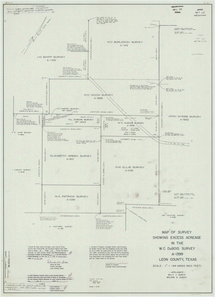
Leon County Rolled Sketch 21

Print $20.00
- Digital $50.00
Leon County Rolled Sketch 21
Size 33.5 x 24.3 inches
Map/Doc 75971
Flight Mission No. BRA-6M, Frame 83, Jefferson County


Print $20.00
- Digital $50.00
Flight Mission No. BRA-6M, Frame 83, Jefferson County
1953
Size 18.6 x 22.3 inches
Map/Doc 85427
Hutchinson County Working Sketch 19


Print $20.00
- Digital $50.00
Hutchinson County Working Sketch 19
1960
Size 18.8 x 18.3 inches
Map/Doc 66379
Flight Mission No. CRC-2R, Frame 119, Chambers County


Print $20.00
- Digital $50.00
Flight Mission No. CRC-2R, Frame 119, Chambers County
1956
Size 18.6 x 22.4 inches
Map/Doc 84743
Edwards County Working Sketch 81


Print $40.00
- Digital $50.00
Edwards County Working Sketch 81
1964
Size 61.4 x 39.6 inches
Map/Doc 68957
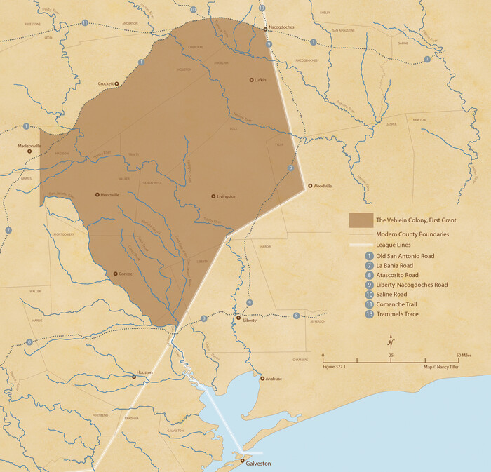
Vehlein and Company Empresario Colony. December 21, 1826

Print $20.00
Vehlein and Company Empresario Colony. December 21, 1826
2020
Size 20.8 x 21.7 inches
Map/Doc 96007
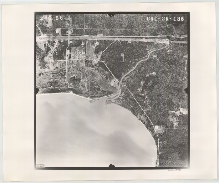
Flight Mission No. CRC-2R, Frame 138, Chambers County

Print $20.00
- Digital $50.00
Flight Mission No. CRC-2R, Frame 138, Chambers County
1956
Size 18.7 x 22.4 inches
Map/Doc 84754
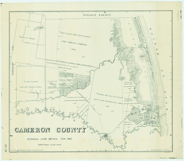
Cameron County

Print $20.00
- Digital $50.00
Cameron County
1913
Size 29.8 x 33.9 inches
Map/Doc 66746
Galveston Bay Entrance - Galveston and Texas City Harbors


Print $40.00
- Digital $50.00
Galveston Bay Entrance - Galveston and Texas City Harbors
1992
Size 37.1 x 55.6 inches
Map/Doc 69866
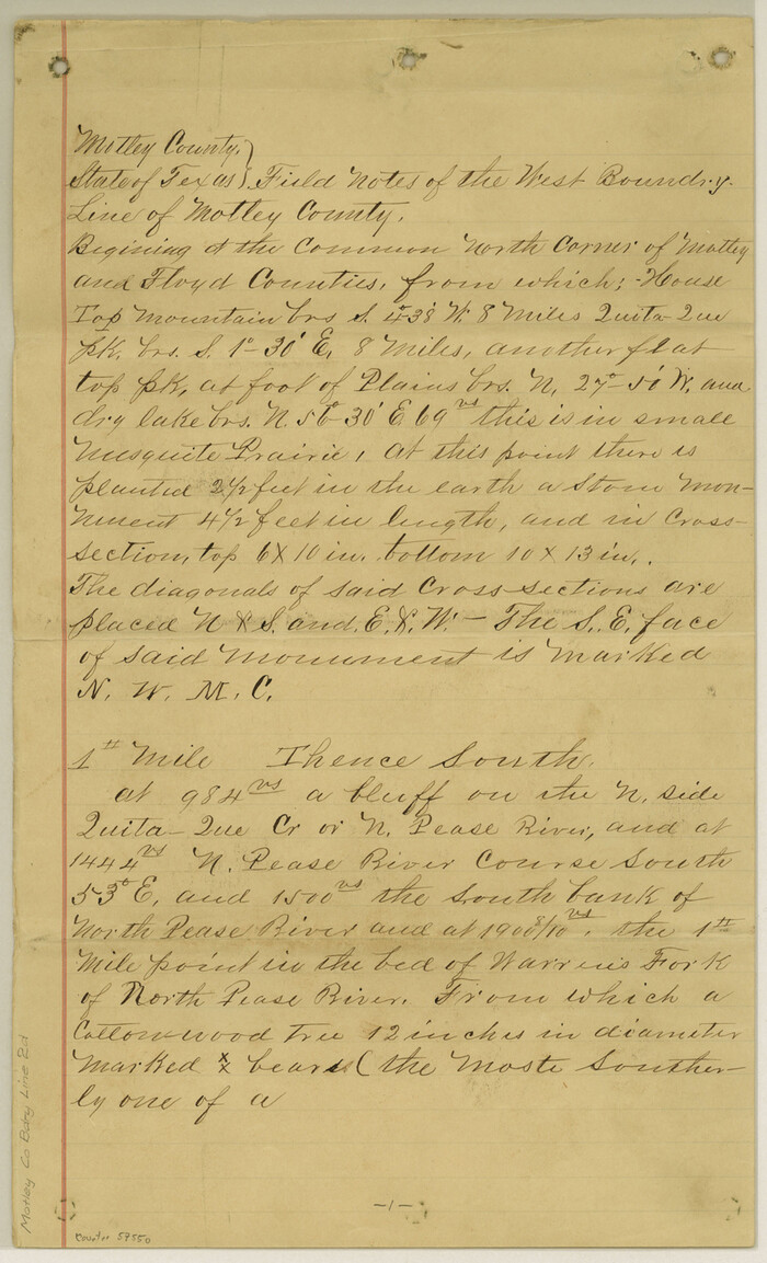
Motley County Boundary File 2d

Print $22.00
- Digital $50.00
Motley County Boundary File 2d
Size 14.3 x 8.7 inches
Map/Doc 57550
[Map Showing Parmer, Castro, Bailey, Lamb, Cochran & Hockley Counties, Texas]
![1762, [Map Showing Parmer, Castro, Bailey, Lamb, Cochran & Hockley Counties, Texas], General Map Collection](https://historictexasmaps.com/wmedia_w700/maps/1762.tif.jpg)
![1762, [Map Showing Parmer, Castro, Bailey, Lamb, Cochran & Hockley Counties, Texas], General Map Collection](https://historictexasmaps.com/wmedia_w700/maps/1762.tif.jpg)
Print $40.00
- Digital $50.00
[Map Showing Parmer, Castro, Bailey, Lamb, Cochran & Hockley Counties, Texas]
1910
Size 55.3 x 40.1 inches
Map/Doc 1762
