Erath County Sketch File A2

Print $20.00
- Digital $50.00
Erath County Sketch File A2
Size: 15.9 x 19.5 inches
11464
Johnson County Sketch File 22

Print $20.00
- Digital $50.00
Johnson County Sketch File 22
1873
Size: 18.8 x 16.2 inches
11891
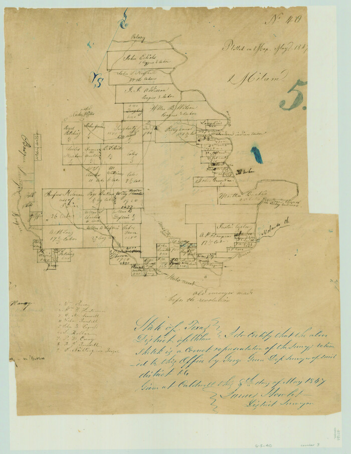
Somervell County Sketch File 2

Print $20.00
- Digital $50.00
Somervell County Sketch File 2
1847
Size: 21.8 x 16.7 inches
12325
Bosque County Sketch File 6

Print $4.00
- Digital $50.00
Bosque County Sketch File 6
1851
Size: 12.1 x 7.6 inches
14748
Map of The Surveyed Part of Peters Colony Texas

Print $40.00
- Digital $50.00
Map of The Surveyed Part of Peters Colony Texas
1854
Size: 53.5 x 65.9 inches
1967
Erath County Sketch File 19

Print $4.00
- Digital $50.00
Erath County Sketch File 19
1891
Size: 8.4 x 12.9 inches
22298
Erath County Sketch File 32

Print $8.00
- Digital $50.00
Erath County Sketch File 32
1936
Size: 11.5 x 8.8 inches
22311
[Surveys along the Bosque River]
Print $3.00
- Digital $50.00
[Surveys along the Bosque River]
1846
Size: 9.4 x 12.8 inches
236
Johnson County Sketch File 23

Print $22.00
- Digital $50.00
Johnson County Sketch File 23
1857
Size: 8.1 x 12.6 inches
28456
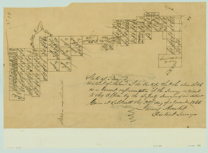
[Surveys in Milam District between the Bosque and Brazos Rivers]
Print $20.00
- Digital $50.00
[Surveys in Milam District between the Bosque and Brazos Rivers]
1847
Size: 15.8 x 12.2 inches
3
Somervell County Sketch File 1

Print $4.00
- Digital $50.00
Somervell County Sketch File 1
1859
Size: 12.8 x 8.1 inches
36795
Somervell County Sketch File 3

Print $6.00
- Digital $50.00
Somervell County Sketch File 3
1858
Size: 8.2 x 3.9 inches
36797
Somervell County Sketch File 4

Print $4.00
- Digital $50.00
Somervell County Sketch File 4
Size: 6.4 x 8.8 inches
36800
Somervell County Sketch File 5

Print $95.00
- Digital $50.00
Somervell County Sketch File 5
1871
Size: 8.8 x 7.7 inches
36802
Somervell County Sketch File 6

Print $6.00
- Digital $50.00
Somervell County Sketch File 6
1939
Size: 13.6 x 8.6 inches
36847
Somervell County Sketch File 7

Print $8.00
- Digital $50.00
Somervell County Sketch File 7
1987
Size: 11.4 x 8.9 inches
36850
Map of Somervell County

Print $20.00
- Digital $50.00
Map of Somervell County
1875
Size: 21.0 x 22.0 inches
4043
Somervell County Working Sketch 1

Print $20.00
- Digital $50.00
Somervell County Working Sketch 1
1950
Size: 17.8 x 15.4 inches
63905
Somervell County Working Sketch 2

Print $20.00
- Digital $50.00
Somervell County Working Sketch 2
1951
Size: 22.4 x 23.8 inches
63906
Somervell County Working Sketch 3

Print $20.00
- Digital $50.00
Somervell County Working Sketch 3
1968
Size: 23.0 x 30.4 inches
63907
Somervell County Working Sketch 4

Print $20.00
- Digital $50.00
Somervell County Working Sketch 4
1975
Size: 38.3 x 29.7 inches
63908
Somervell County Working Sketch 5

Print $20.00
- Digital $50.00
Somervell County Working Sketch 5
1975
Size: 33.3 x 39.4 inches
63909
Somervell County Working Sketch 6

Print $20.00
- Digital $50.00
Somervell County Working Sketch 6
1992
Size: 23.2 x 21.5 inches
63910
[Unidentified Railroad through Denton and Dallas County]

Print $40.00
- Digital $50.00
[Unidentified Railroad through Denton and Dallas County]
Size: 6.8 x 73.3 inches
64775
Hood County Working Sketch 5

Print $20.00
- Digital $50.00
Hood County Working Sketch 5
1968
Size: 20.7 x 29.1 inches
66199
Erath County Working Sketch 34

Print $20.00
- Digital $50.00
Erath County Working Sketch 34
1972
Size: 38.7 x 25.3 inches
69115
Erath County Sketch File A2
Print $20.00
- Digital $50.00
Erath County Sketch File A2
-
Size
15.9 x 19.5 inches
-
Map/Doc
11464
Johnson County Sketch File 22
Print $20.00
- Digital $50.00
Johnson County Sketch File 22
1873
-
Size
18.8 x 16.2 inches
-
Map/Doc
11891
-
Creation Date
1873
Somervell County Sketch File 2
Print $20.00
- Digital $50.00
Somervell County Sketch File 2
1847
-
Size
21.8 x 16.7 inches
-
Map/Doc
12325
-
Creation Date
1847
Bosque County Sketch File 6
Print $4.00
- Digital $50.00
Bosque County Sketch File 6
1851
-
Size
12.1 x 7.6 inches
-
Map/Doc
14748
-
Creation Date
1851
Map of The Surveyed Part of Peters Colony Texas
Print $40.00
- Digital $50.00
Map of The Surveyed Part of Peters Colony Texas
1854
-
Size
53.5 x 65.9 inches
-
Map/Doc
1967
-
Creation Date
1854
Erath County Sketch File 19
Print $4.00
- Digital $50.00
Erath County Sketch File 19
1891
-
Size
8.4 x 12.9 inches
-
Map/Doc
22298
-
Creation Date
1891
Erath County Sketch File 32
Print $8.00
- Digital $50.00
Erath County Sketch File 32
1936
-
Size
11.5 x 8.8 inches
-
Map/Doc
22311
-
Creation Date
1936
[Surveys along the Bosque River]
Print $3.00
- Digital $50.00
[Surveys along the Bosque River]
1846
-
Size
9.4 x 12.8 inches
-
Map/Doc
236
-
Creation Date
1846
Johnson County Sketch File 23
Print $22.00
- Digital $50.00
Johnson County Sketch File 23
1857
-
Size
8.1 x 12.6 inches
-
Map/Doc
28456
-
Creation Date
1857
[Surveys in Milam District between the Bosque and Brazos Rivers]
Print $20.00
- Digital $50.00
[Surveys in Milam District between the Bosque and Brazos Rivers]
1847
-
Size
15.8 x 12.2 inches
-
Map/Doc
3
-
Creation Date
1847
Somervell County Sketch File 1
Print $4.00
- Digital $50.00
Somervell County Sketch File 1
1859
-
Size
12.8 x 8.1 inches
-
Map/Doc
36795
-
Creation Date
1859
Somervell County Sketch File 3
Print $6.00
- Digital $50.00
Somervell County Sketch File 3
1858
-
Size
8.2 x 3.9 inches
-
Map/Doc
36797
-
Creation Date
1858
Somervell County Sketch File 4
Print $4.00
- Digital $50.00
Somervell County Sketch File 4
-
Size
6.4 x 8.8 inches
-
Map/Doc
36800
Somervell County Sketch File 5
Print $95.00
- Digital $50.00
Somervell County Sketch File 5
1871
-
Size
8.8 x 7.7 inches
-
Map/Doc
36802
-
Creation Date
1871
Somervell County Sketch File 6
Print $6.00
- Digital $50.00
Somervell County Sketch File 6
1939
-
Size
13.6 x 8.6 inches
-
Map/Doc
36847
-
Creation Date
1939
Somervell County Sketch File 7
Print $8.00
- Digital $50.00
Somervell County Sketch File 7
1987
-
Size
11.4 x 8.9 inches
-
Map/Doc
36850
-
Creation Date
1987
Somervell County

Print $20.00
- Digital $50.00
Somervell County
1884
-
Size
25.1 x 24.2 inches
-
Map/Doc
4042
-
Creation Date
1884
Map of Somervell County
Print $20.00
- Digital $50.00
Map of Somervell County
1875
-
Size
21.0 x 22.0 inches
-
Map/Doc
4043
-
Creation Date
1875
Somervell Co.

Print $20.00
- Digital $50.00
Somervell Co.
1884
-
Size
28.0 x 26.8 inches
-
Map/Doc
63040
-
Creation Date
1884
Somervell County

Print $20.00
- Digital $50.00
Somervell County
1884
-
Size
29.5 x 31.3 inches
-
Map/Doc
63041
-
Creation Date
1884
Somervell County

Print $20.00
- Digital $50.00
Somervell County
1941
-
Size
27.5 x 26.7 inches
-
Map/Doc
63042
-
Creation Date
1941
Somervell County Working Sketch 1
Print $20.00
- Digital $50.00
Somervell County Working Sketch 1
1950
-
Size
17.8 x 15.4 inches
-
Map/Doc
63905
-
Creation Date
1950
Somervell County Working Sketch 2
Print $20.00
- Digital $50.00
Somervell County Working Sketch 2
1951
-
Size
22.4 x 23.8 inches
-
Map/Doc
63906
-
Creation Date
1951
Somervell County Working Sketch 3
Print $20.00
- Digital $50.00
Somervell County Working Sketch 3
1968
-
Size
23.0 x 30.4 inches
-
Map/Doc
63907
-
Creation Date
1968
Somervell County Working Sketch 4
Print $20.00
- Digital $50.00
Somervell County Working Sketch 4
1975
-
Size
38.3 x 29.7 inches
-
Map/Doc
63908
-
Creation Date
1975
Somervell County Working Sketch 5
Print $20.00
- Digital $50.00
Somervell County Working Sketch 5
1975
-
Size
33.3 x 39.4 inches
-
Map/Doc
63909
-
Creation Date
1975
Somervell County Working Sketch 6
Print $20.00
- Digital $50.00
Somervell County Working Sketch 6
1992
-
Size
23.2 x 21.5 inches
-
Map/Doc
63910
-
Creation Date
1992
[Unidentified Railroad through Denton and Dallas County]
Print $40.00
- Digital $50.00
[Unidentified Railroad through Denton and Dallas County]
-
Size
6.8 x 73.3 inches
-
Map/Doc
64775
Hood County Working Sketch 5
Print $20.00
- Digital $50.00
Hood County Working Sketch 5
1968
-
Size
20.7 x 29.1 inches
-
Map/Doc
66199
-
Creation Date
1968
Erath County Working Sketch 34
Print $20.00
- Digital $50.00
Erath County Working Sketch 34
1972
-
Size
38.7 x 25.3 inches
-
Map/Doc
69115
-
Creation Date
1972