
Bosque County Sketch File 6
1851
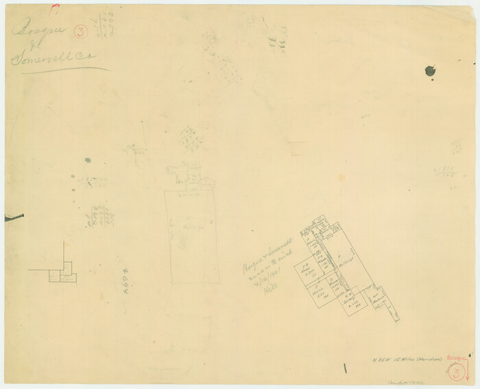
Bosque County Working Sketch 3
1901

Erath County Sketch File 19
1891
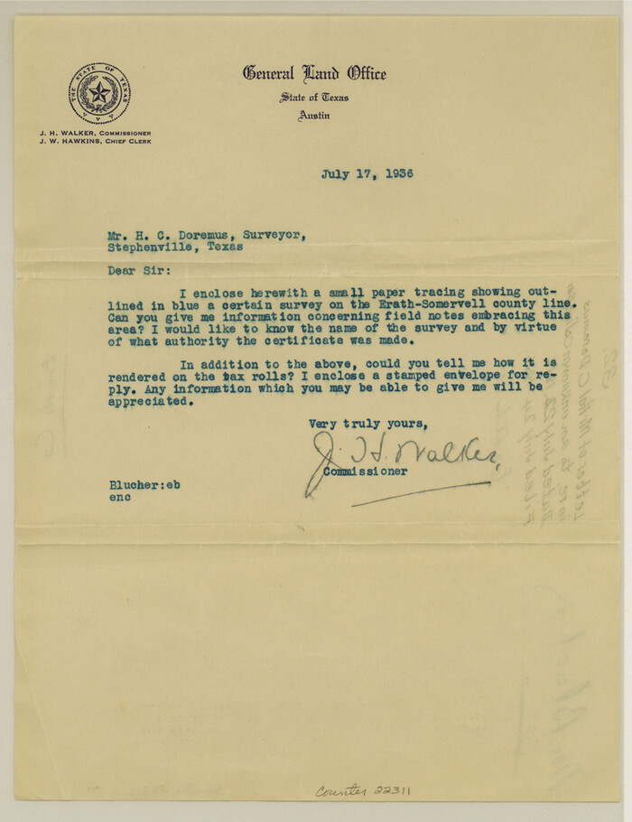
Erath County Sketch File 32
1936

Erath County Sketch File A2
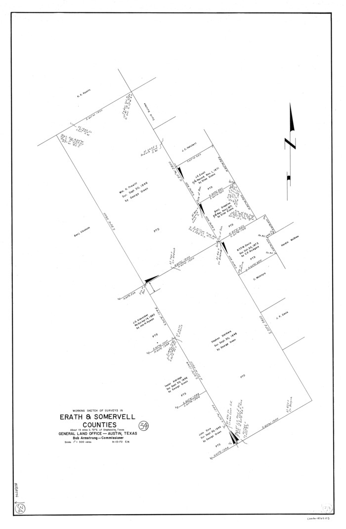
Erath County Working Sketch 34
1972

General Highway Map, Hood County, Somervell County, Texas
1940
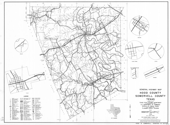
General Highway Map, Hood County, Somervell County, Texas
1961
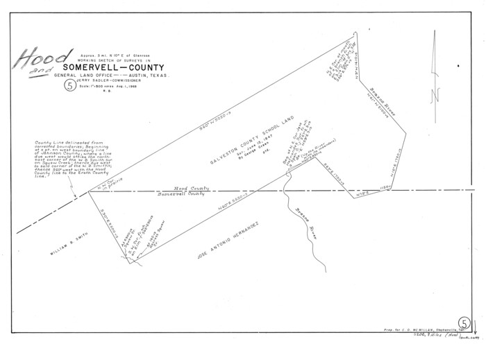
Hood County Working Sketch 5
1968

Johnson County Sketch File 22
1873

Johnson County Sketch File 23
1857
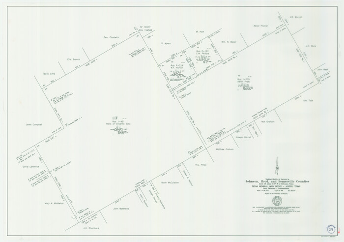
Johnson County Working Sketch 29
2006
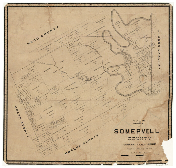
Map of Somervell County
1875
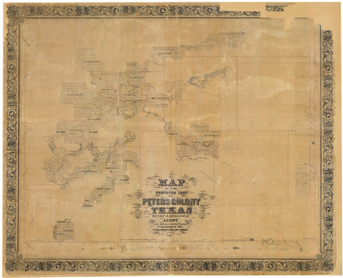
Map of The Surveyed Part of Peters Colony Texas
1854
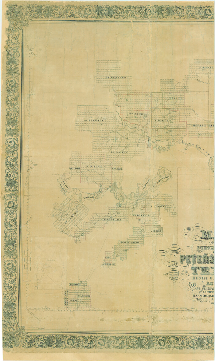
Map of The Surveyed Part of Peters Colony Texas
1854

Map of The Surveyed Part of Peters Colony Texas
1854
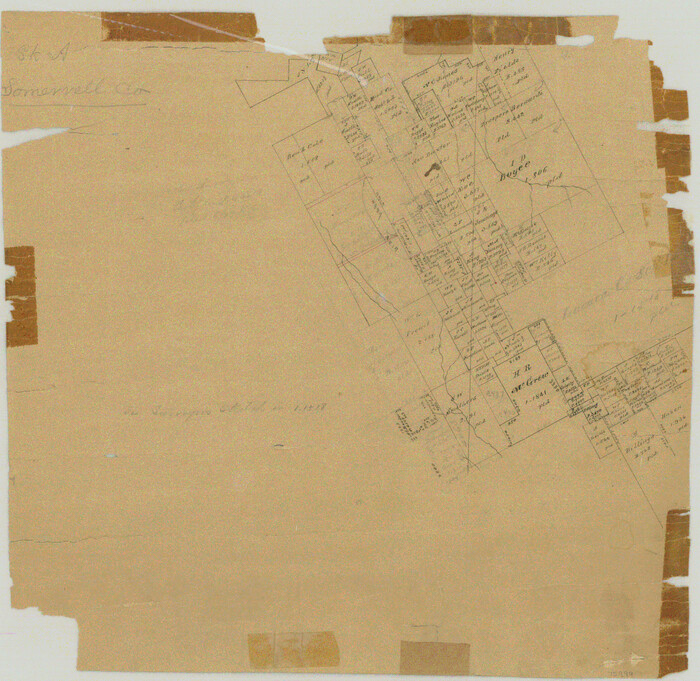
Somervell County Rolled Sketch A
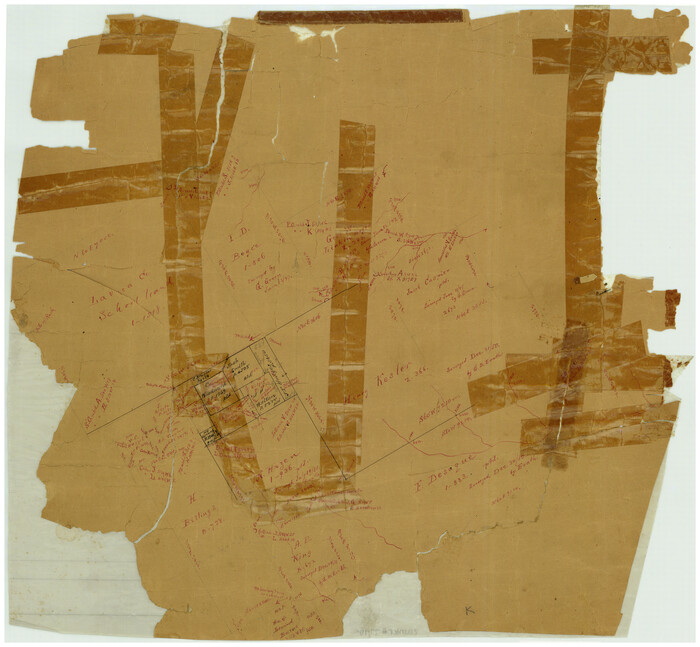
Somervell County Rolled Sketch B

Somervell County Rolled Sketch C
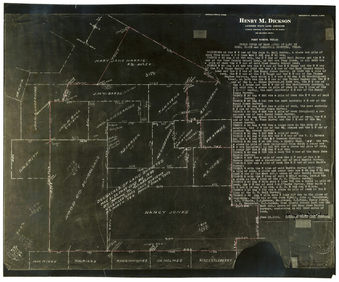
Somervell County Rolled Sketch D
1939

Somervell County Sketch File 1
1859

Somervell County Sketch File 2
1847

Somervell County Sketch File 3
1858

Bosque County Sketch File 6
1851
-
Size
12.1 x 7.6 inches
-
Map/Doc
14748
-
Creation Date
1851

Bosque County Working Sketch 3
1901
-
Size
16.5 x 20.4 inches
-
Map/Doc
78192
-
Creation Date
1901

Erath County Sketch File 19
1891
-
Size
8.4 x 12.9 inches
-
Map/Doc
22298
-
Creation Date
1891

Erath County Sketch File 32
1936
-
Size
11.5 x 8.8 inches
-
Map/Doc
22311
-
Creation Date
1936

Erath County Sketch File A2
-
Size
15.9 x 19.5 inches
-
Map/Doc
11464

Erath County Working Sketch 34
1972
-
Size
38.7 x 25.3 inches
-
Map/Doc
69115
-
Creation Date
1972

General Highway Map, Hood County, Somervell County, Texas
1940
-
Size
18.3 x 24.8 inches
-
Map/Doc
79131
-
Creation Date
1940

General Highway Map, Hood County, Somervell County, Texas
1961
-
Size
18.1 x 24.6 inches
-
Map/Doc
79523
-
Creation Date
1961

Hood County Working Sketch 5
1968
-
Size
20.7 x 29.1 inches
-
Map/Doc
66199
-
Creation Date
1968

Johnson County Sketch File 22
1873
-
Size
18.8 x 16.2 inches
-
Map/Doc
11891
-
Creation Date
1873

Johnson County Sketch File 23
1857
-
Size
8.1 x 12.6 inches
-
Map/Doc
28456
-
Creation Date
1857

Johnson County Working Sketch 29
2006
-
Size
26.4 x 37.5 inches
-
Map/Doc
83060
-
Creation Date
2006

Map of Somervell County
1875
-
Size
21.0 x 22.0 inches
-
Map/Doc
4043
-
Creation Date
1875

Map of The Surveyed Part of Peters Colony Texas
1854
-
Size
53.5 x 65.9 inches
-
Map/Doc
1967
-
Creation Date
1854

Map of The Surveyed Part of Peters Colony Texas
1854
-
Size
53.7 x 32.0 inches
-
Map/Doc
83007
-
Creation Date
1854

Map of The Surveyed Part of Peters Colony Texas
1854
-
Size
53.1 x 33.9 inches
-
Map/Doc
83008
-
Creation Date
1854
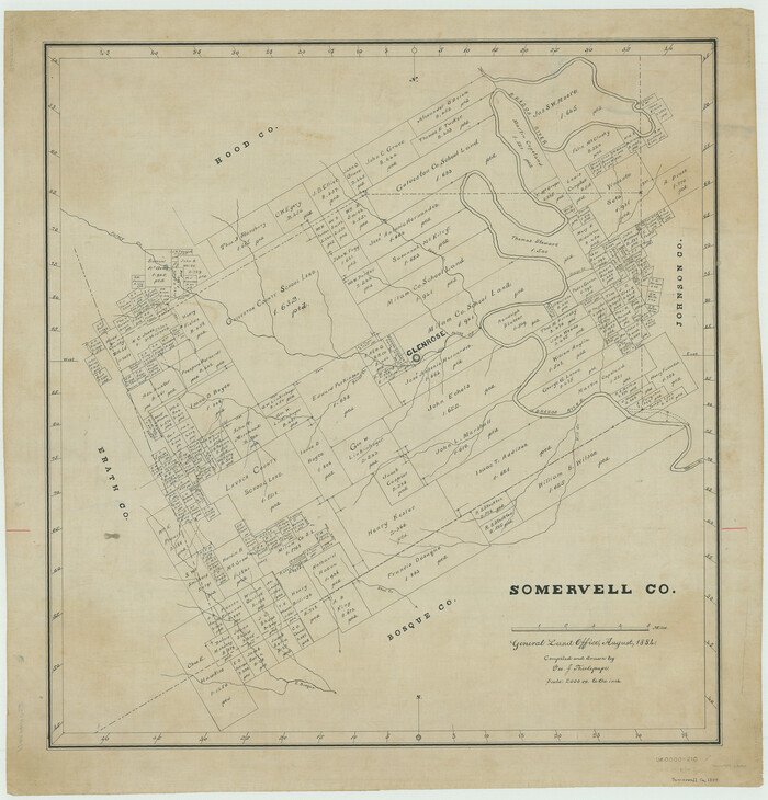
Somervell Co.
1884
-
Size
28.0 x 26.8 inches
-
Map/Doc
63040
-
Creation Date
1884
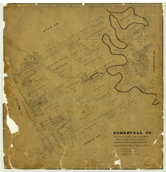
Somervell County
1884
-
Size
25.1 x 24.2 inches
-
Map/Doc
4042
-
Creation Date
1884

Somervell County
1884
-
Size
29.5 x 31.3 inches
-
Map/Doc
63041
-
Creation Date
1884

Somervell County
1941
-
Size
27.5 x 26.7 inches
-
Map/Doc
63042
-
Creation Date
1941

Somervell County
1941
-
Size
28.1 x 26.1 inches
-
Map/Doc
73291
-
Creation Date
1941
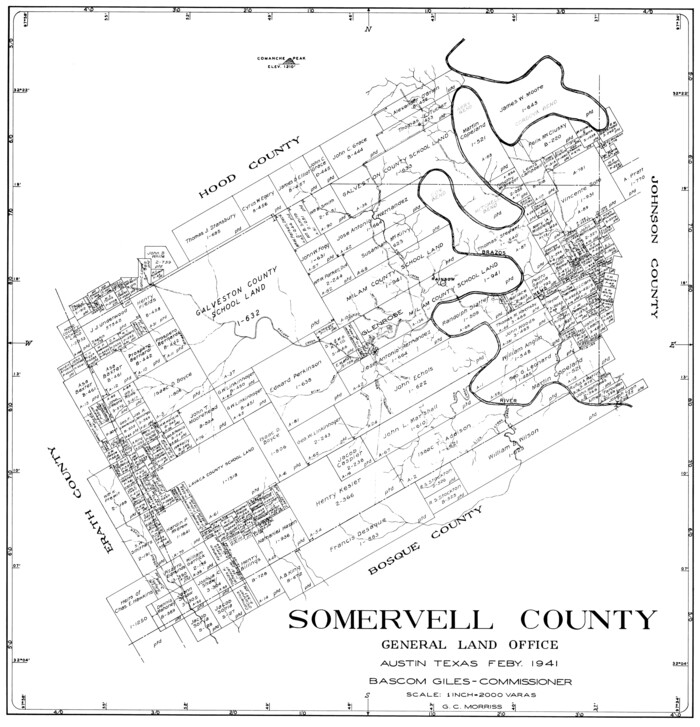
Somervell County
1941
-
Size
25.1 x 24.1 inches
-
Map/Doc
77424
-
Creation Date
1941

Somervell County
1941
-
Size
29.2 x 27.1 inches
-
Map/Doc
95642
-
Creation Date
1941

Somervell County Rolled Sketch A
-
Size
14.8 x 15.2 inches
-
Map/Doc
75999

Somervell County Rolled Sketch B
-
Size
18.8 x 19.9 inches
-
Map/Doc
7792

Somervell County Rolled Sketch C
-
Size
9.0 x 13.4 inches
-
Map/Doc
7793

Somervell County Rolled Sketch D
1939
-
Size
17.3 x 21.0 inches
-
Map/Doc
7794
-
Creation Date
1939

Somervell County Sketch File 1
1859
-
Size
12.8 x 8.1 inches
-
Map/Doc
36795
-
Creation Date
1859

Somervell County Sketch File 2
1847
-
Size
21.8 x 16.7 inches
-
Map/Doc
12325
-
Creation Date
1847

Somervell County Sketch File 3
1858
-
Size
8.2 x 3.9 inches
-
Map/Doc
36797
-
Creation Date
1858