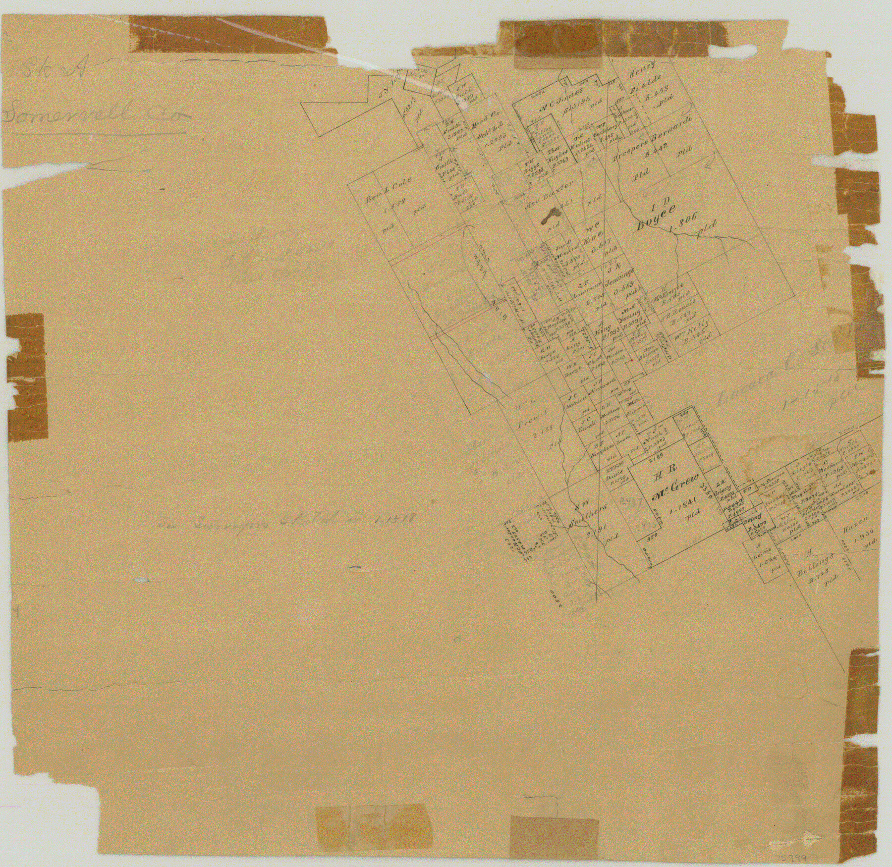
Somervell County Rolled Sketch A
[Sketch in Somervell & Erath Counties, Texas]
-
Map/Doc
75999
-
Collection
General Map Collection
-
Counties
Somervell Erath
-
Subjects
Surveying Rolled Sketch
-
Height x Width
14.8 x 15.2 inches
37.6 x 38.6 cm
-
Medium
paper, manuscript
Part of: General Map Collection
Stephens County Sketch File 27

Print $6.00
- Digital $50.00
Stephens County Sketch File 27
Size 9.7 x 8.5 inches
Map/Doc 37101
Glasscock County Working Sketch 8

Print $20.00
- Digital $50.00
Glasscock County Working Sketch 8
Size 42.7 x 10.3 inches
Map/Doc 62189
Tyler County Sketch File 6-3

Print $20.00
- Digital $50.00
Tyler County Sketch File 6-3
1861
Size 20.0 x 22.1 inches
Map/Doc 12499
Maps of Gulf Intracoastal Waterway, Texas - Sabine River to the Rio Grande and connecting waterways including ship channels

Print $20.00
- Digital $50.00
Maps of Gulf Intracoastal Waterway, Texas - Sabine River to the Rio Grande and connecting waterways including ship channels
1966
Size 14.5 x 20.8 inches
Map/Doc 61968
Morris County Rolled Sketch 2A

Print $20.00
- Digital $50.00
Morris County Rolled Sketch 2A
Size 24.2 x 19.1 inches
Map/Doc 10243
Randall County Rolled Sketch 8

Print $20.00
- Digital $50.00
Randall County Rolled Sketch 8
Size 32.9 x 40.6 inches
Map/Doc 7429
Current Miscellaneous File 19

Print $10.00
- Digital $50.00
Current Miscellaneous File 19
Size 11.8 x 8.8 inches
Map/Doc 73849
Flight Mission No. DQO-11K, Frame 24, Galveston County

Print $20.00
- Digital $50.00
Flight Mission No. DQO-11K, Frame 24, Galveston County
1952
Size 18.6 x 22.4 inches
Map/Doc 85221
Kaufman County Boundary File 8

Print $10.00
- Digital $50.00
Kaufman County Boundary File 8
Size 11.2 x 8.7 inches
Map/Doc 55977
Fort Bend County Sketch File 6

Print $2.00
- Digital $50.00
Fort Bend County Sketch File 6
Size 4.7 x 8.4 inches
Map/Doc 22891
Terrell County Working Sketch 12

Print $20.00
- Digital $50.00
Terrell County Working Sketch 12
1926
Size 18.3 x 21.0 inches
Map/Doc 62161
Hemphill County Rolled Sketch 6

Print $20.00
- Digital $50.00
Hemphill County Rolled Sketch 6
Size 22.2 x 24.7 inches
Map/Doc 6188
You may also like
Flight Mission No. BRA-8M, Frame 26, Jefferson County

Print $20.00
- Digital $50.00
Flight Mission No. BRA-8M, Frame 26, Jefferson County
1953
Size 18.6 x 22.3 inches
Map/Doc 85581
Flight Mission No. DAG-28K, Frame 25, Matagorda County

Print $20.00
- Digital $50.00
Flight Mission No. DAG-28K, Frame 25, Matagorda County
1953
Size 18.5 x 22.3 inches
Map/Doc 86593
Kent County Working Sketch 24

Print $20.00
- Digital $50.00
Kent County Working Sketch 24
1988
Size 30.5 x 21.2 inches
Map/Doc 70031
Crane County Working Sketch 24

Print $20.00
- Digital $50.00
Crane County Working Sketch 24
1966
Size 28.7 x 33.3 inches
Map/Doc 68301
Hemphill County Working Sketch 21

Print $40.00
- Digital $50.00
Hemphill County Working Sketch 21
1973
Size 79.0 x 32.6 inches
Map/Doc 66116
Duval County Working Sketch 30

Print $20.00
- Digital $50.00
Duval County Working Sketch 30
1950
Size 29.1 x 33.5 inches
Map/Doc 68754
Brewster County Rolled Sketch 112

Print $20.00
- Digital $50.00
Brewster County Rolled Sketch 112
1962
Size 28.9 x 25.7 inches
Map/Doc 5263

[Capitol Leagues along New Mexico Line]
![90766, [Capitol Leagues along New Mexico Line], Twichell Survey Records](https://historictexasmaps.com/wmedia_w700/maps/90766-1.tif.jpg)
Print $20.00
- Digital $50.00
[Capitol Leagues along New Mexico Line]
Size 8.2 x 22.7 inches
Map/Doc 90766
[Yoakum and Gaines County Line Along Block D in Yoakum and Blocks A6, AX, C35 and C34 in Gaines]
![89691, [Yoakum and Gaines County Line Along Block D in Yoakum and Blocks A6, AX, C35 and C34 in Gaines], Twichell Survey Records](https://historictexasmaps.com/wmedia_w700/maps/89691-1.tif.jpg)
Print $40.00
- Digital $50.00
[Yoakum and Gaines County Line Along Block D in Yoakum and Blocks A6, AX, C35 and C34 in Gaines]
1924
Size 54.9 x 12.3 inches
Map/Doc 89691
Brown County Working Sketch 10

Print $20.00
- Digital $50.00
Brown County Working Sketch 10
1982
Size 25.3 x 25.5 inches
Map/Doc 67775
Cameron County Aerial Photograph Index Sheet 7

Print $20.00
- Digital $50.00
Cameron County Aerial Photograph Index Sheet 7
1955
Size 21.8 x 16.2 inches
Map/Doc 83679