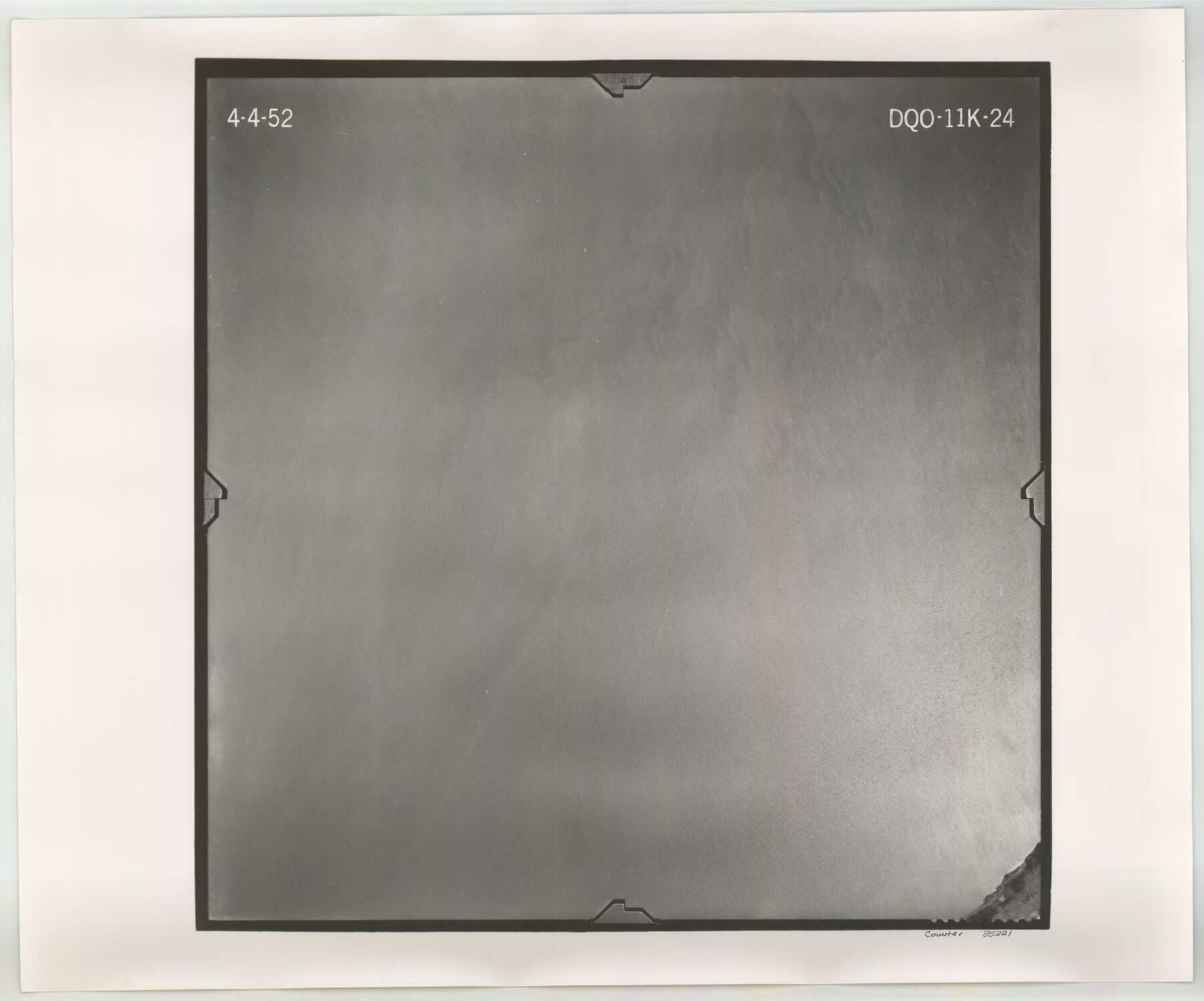
Flight Mission No. DQO-11K, Frame 24, Galveston County
DQO-11K-24
-
Map/Doc
85221
-
Collection
General Map Collection
-
Object Dates
1952/4/4 (Creation Date)
-
People and Organizations
U. S. Department of Agriculture (Publisher)
-
Counties
Galveston
-
Subjects
Aerial Photograph
-
Height x Width
18.6 x 22.4 inches
47.2 x 56.9 cm
-
Comments
Flown by Aero Exploration Company of Tulsa, Oklahoma.
Part of: General Map Collection
Flight Mission No. CRK-8P, Frame 116, Refugio County

Print $20.00
- Digital $50.00
Flight Mission No. CRK-8P, Frame 116, Refugio County
1956
Size 18.3 x 22.1 inches
Map/Doc 86971
Gray County Sketch File 10

Print $14.00
- Digital $50.00
Gray County Sketch File 10
Size 9.7 x 6.3 inches
Map/Doc 24445
Cass County Rolled Sketch 1

Print $20.00
- Digital $50.00
Cass County Rolled Sketch 1
1945
Size 22.1 x 23.7 inches
Map/Doc 5408
Map of Orange County

Print $20.00
- Digital $50.00
Map of Orange County
1886
Size 17.1 x 17.6 inches
Map/Doc 3931

Sketch showing progress of topographical work Laguna Madre and vicinity from Rainey Is. to Baffins Bay, Coast of Texas Sect. IX [and accompanying letter]
![72959, Sketch showing progress of topographical work Laguna Madre and vicinity from Rainey Is. to Baffins Bay, Coast of Texas Sect. IX [and accompanying letter], General Map Collection](https://historictexasmaps.com/wmedia_w700/maps/72959.tif.jpg)
Print $2.00
- Digital $50.00
Sketch showing progress of topographical work Laguna Madre and vicinity from Rainey Is. to Baffins Bay, Coast of Texas Sect. IX [and accompanying letter]
1881
Size 11.0 x 8.7 inches
Map/Doc 72959

El Paso County Rolled Sketch 61

Print $20.00
- Digital $50.00
El Paso County Rolled Sketch 61
1994
Size 27.8 x 39.0 inches
Map/Doc 5853
Schleicher County Rolled Sketch 6

Print $20.00
- Digital $50.00
Schleicher County Rolled Sketch 6
Size 28.1 x 21.1 inches
Map/Doc 7749
Coke County Boundary File 6

Print $62.00
- Digital $50.00
Coke County Boundary File 6
Size 7.2 x 37.9 inches
Map/Doc 51615
Sherman County Boundary File 1

Print $20.00
- Digital $50.00
Sherman County Boundary File 1
Size 11.4 x 8.9 inches
Map/Doc 58751
Cameron County NRC Article 33.136 Sketch 2

Print $20.00
- Digital $50.00
Cameron County NRC Article 33.136 Sketch 2
2002
Size 24.4 x 35.9 inches
Map/Doc 77040
You may also like
Nueces County Rolled Sketch 37

Print $20.00
- Digital $50.00
Nueces County Rolled Sketch 37
1950
Size 22.5 x 33.3 inches
Map/Doc 6878
Van Zandt County Rolled Sketch 11

Print $20.00
- Digital $50.00
Van Zandt County Rolled Sketch 11
2019
Size 23.6 x 36.0 inches
Map/Doc 95717
Somervell County Sketch File 1

Print $4.00
- Digital $50.00
Somervell County Sketch File 1
1859
Size 12.8 x 8.1 inches
Map/Doc 36795
Nolan County Sketch File 13

Print $20.00
- Digital $50.00
Nolan County Sketch File 13
1886
Size 17.8 x 29.9 inches
Map/Doc 42207
Flight Mission No. BRA-16M, Frame 170, Jefferson County

Print $20.00
- Digital $50.00
Flight Mission No. BRA-16M, Frame 170, Jefferson County
1953
Size 18.6 x 22.4 inches
Map/Doc 85768
Montgomery County Texas Historical Map

Montgomery County Texas Historical Map
Size 23.2 x 35.3 inches
Map/Doc 94404
Coast Chart No. 210 Aransas Pass and Corpus Christi Bay with the coast to latitude 27° 12' Texas

Print $20.00
- Digital $50.00
Coast Chart No. 210 Aransas Pass and Corpus Christi Bay with the coast to latitude 27° 12' Texas
1887
Size 27.6 x 18.2 inches
Map/Doc 72785
Angelina County Sketch File 17

Print $9.00
- Digital $50.00
Angelina County Sketch File 17
1863
Size 8.2 x 7.0 inches
Map/Doc 13020


Flight Mission No. CGI-2N, Frame 181, Cameron County

Print $20.00
- Digital $50.00
Flight Mission No. CGI-2N, Frame 181, Cameron County
1954
Size 18.4 x 22.2 inches
Map/Doc 84541
Jim Wells County Working Sketch 9

Print $20.00
- Digital $50.00
Jim Wells County Working Sketch 9
1948
Size 34.1 x 38.9 inches
Map/Doc 66607