Nolan County Sketch File 13
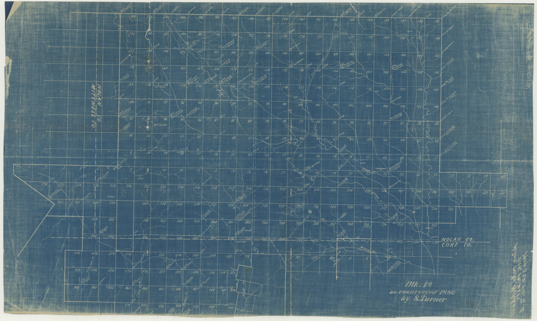
[Sketch of resurvey of Block 1A, H. & T. C. R.R. Co. ]
-
Map/Doc
42207
-
Collection
General Map Collection
-
Object Dates
1886 (Creation Date)
8/5/1926 (File Date)
-
People and Organizations
S. Turner (Surveyor/Engineer)
-
Counties
Nolan Coke Mitchell
-
Subjects
Surveying Sketch File
-
Height x Width
17.8 x 29.9 inches
45.2 x 76.0 cm
-
Medium
blueprint/diazo
-
Features
Eagle Creek
Colorado City Road
Little Silver Creek
Little Sand Creek
Boozar Creek
Antelope Creek
Wolf Creek
Part of: General Map Collection
Callahan County

Print $20.00
- Digital $50.00
Callahan County
1918
Size 45.5 x 40.3 inches
Map/Doc 4787
Brazoria County Sketch File 6a

Print $40.00
- Digital $50.00
Brazoria County Sketch File 6a
1862
Size 17.6 x 12.6 inches
Map/Doc 10949
Galveston County Working Sketch 22

Print $20.00
- Digital $50.00
Galveston County Working Sketch 22
1988
Size 27.4 x 38.3 inches
Map/Doc 69359
Gregg County Sketch File 13

Print $32.00
- Digital $50.00
Gregg County Sketch File 13
1934
Size 13.9 x 8.7 inches
Map/Doc 24597
Edwards County Sketch File 14

Print $24.00
- Digital $50.00
Edwards County Sketch File 14
1891
Size 12.9 x 8.7 inches
Map/Doc 21703
Sutton County Sketch File 61

Print $14.00
- Digital $50.00
Sutton County Sketch File 61
1986
Size 11.2 x 8.9 inches
Map/Doc 37557
Morris County Rolled Sketch 2A

Print $20.00
- Digital $50.00
Morris County Rolled Sketch 2A
Size 22.7 x 17.6 inches
Map/Doc 10268
McLennan County Working Sketch 7

Print $20.00
- Digital $50.00
McLennan County Working Sketch 7
1959
Size 22.6 x 23.9 inches
Map/Doc 70700
Pecos County Rolled Sketch 34

Print $20.00
- Digital $50.00
Pecos County Rolled Sketch 34
1891
Size 26.1 x 40.4 inches
Map/Doc 7215
Williamson County Rolled Sketch 6

Print $20.00
- Digital $50.00
Williamson County Rolled Sketch 6
1941
Size 26.0 x 18.9 inches
Map/Doc 8264
Hutchinson County Rolled Sketch 10

Print $20.00
- Digital $50.00
Hutchinson County Rolled Sketch 10
Size 33.6 x 29.7 inches
Map/Doc 6281
Colorado River, New Taiton Sheet

Print $6.00
- Digital $50.00
Colorado River, New Taiton Sheet
1939
Size 27.4 x 35.4 inches
Map/Doc 65313
You may also like
Culberson County Rolled Sketch 41

Print $88.00
- Digital $50.00
Culberson County Rolled Sketch 41
1944
Size 57.5 x 46.0 inches
Map/Doc 8752
Map of Terry County

Print $2.00
- Digital $50.00
Map of Terry County
Size 7.7 x 8.4 inches
Map/Doc 92887
Brooks County Rolled Sketch 19

Print $84.00
- Digital $50.00
Brooks County Rolled Sketch 19
Size 43.3 x 59.2 inches
Map/Doc 8533
Culberson County Rolled Sketch 27

Print $20.00
- Digital $50.00
Culberson County Rolled Sketch 27
1922
Size 26.8 x 34.9 inches
Map/Doc 5656
Brazoria County Sketch File 46

Print $48.00
- Digital $50.00
Brazoria County Sketch File 46
1925
Size 14.3 x 8.8 inches
Map/Doc 15082
Map of Public Roads in Terry County, Texas

Print $20.00
- Digital $50.00
Map of Public Roads in Terry County, Texas
Size 34.0 x 37.4 inches
Map/Doc 91936
Roberts County Working Sketch 46

Print $20.00
- Digital $50.00
Roberts County Working Sketch 46
1979
Size 19.4 x 28.3 inches
Map/Doc 63572
Brewster County Working Sketch 119

Print $20.00
- Digital $50.00
Brewster County Working Sketch 119
1909
Size 29.3 x 29.0 inches
Map/Doc 67719
Eastland County Working Sketch 27

Print $20.00
- Digital $50.00
Eastland County Working Sketch 27
1952
Size 25.2 x 21.4 inches
Map/Doc 68808
Houston County Working Sketch 24

Print $40.00
- Digital $50.00
Houston County Working Sketch 24
1983
Size 43.9 x 77.2 inches
Map/Doc 66254
Marion County Rolled Sketch F

Print $40.00
- Digital $50.00
Marion County Rolled Sketch F
1937
Size 43.5 x 67.1 inches
Map/Doc 9487
Brooks County Boundary File 2

Print $8.00
- Digital $50.00
Brooks County Boundary File 2
Size 8.6 x 11.3 inches
Map/Doc 50839