
Anderson County Sketch File 22
1925
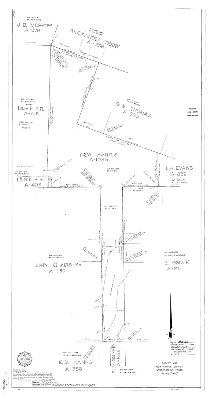
Anderson County Sketch File 25
1969
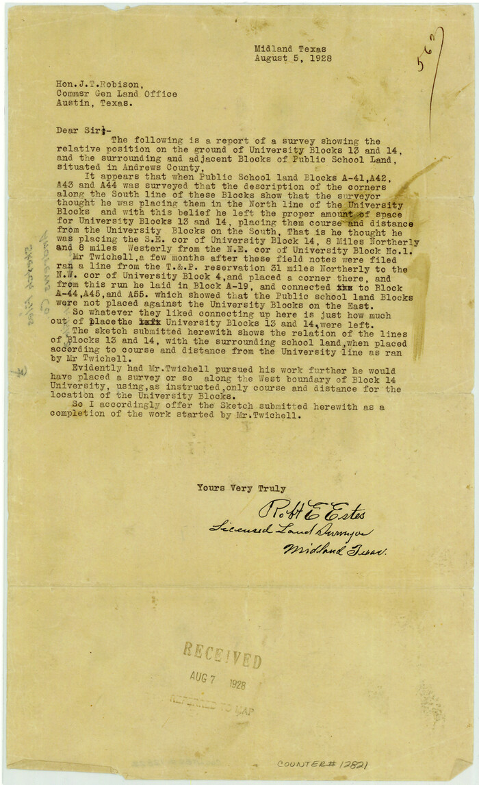
Andrews County Sketch File 3
1928
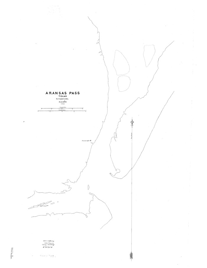
Aransas County Sketch File 11

Austin County Sketch File 5
1885

Bastrop County Sketch File 9
1943
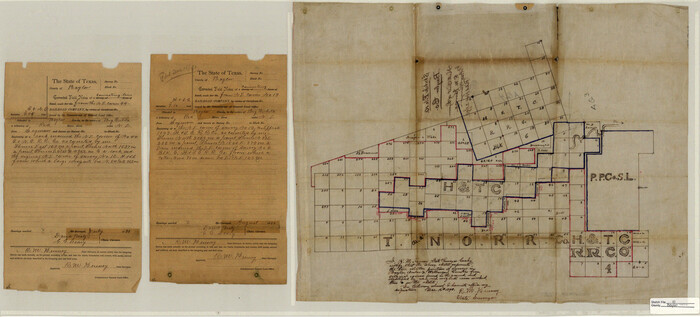
Baylor County Sketch File 10
1890
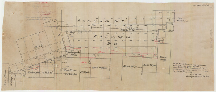
Baylor County Sketch File 11A

Baylor County Sketch File 12D
1900

Baylor County Sketch File 23
1927
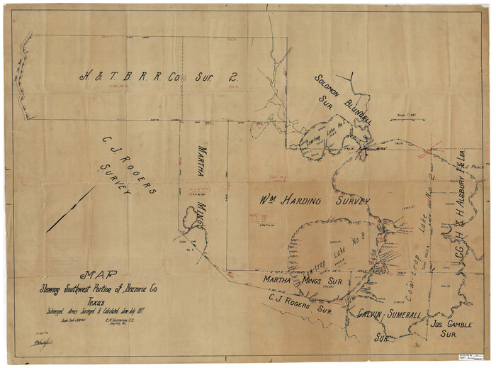
Brazoria County Sketch File 36
1933

Brazoria County Sketch File 45
1980

Brazoria County Sketch File 55
1899

Castro County Sketch File 18
1988
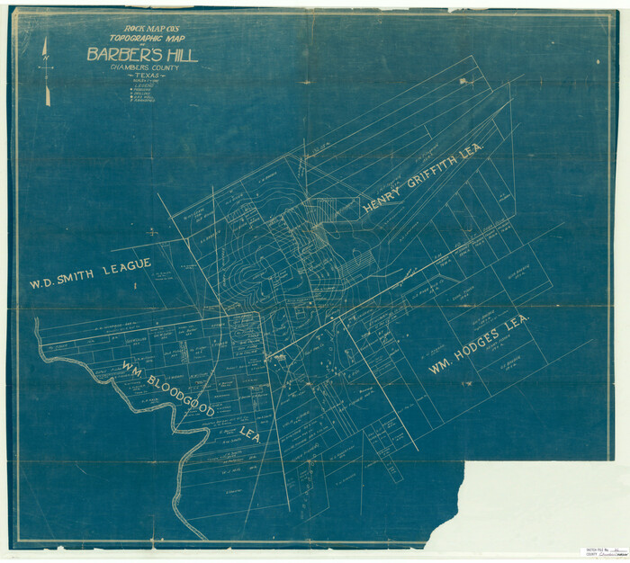
Chambers County Sketch File 21

Chambers County Sketch File 29
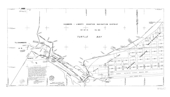
Chambers County Sketch File 37

Cherokee County Sketch File 32

Archer County Sketch File 8

Cochran County Sketch File 1

Coke County Sketch File 23
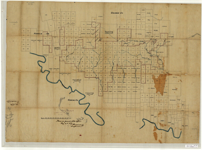
Coleman County Sketch File 31

Cooke County Sketch File 40
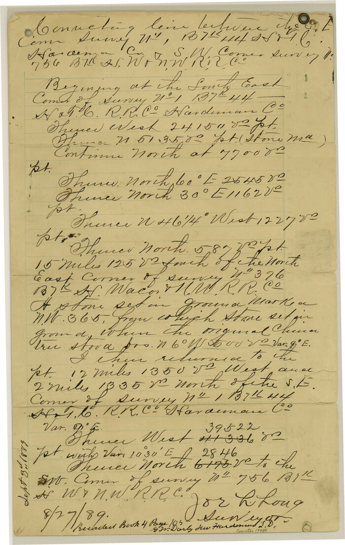
Cottle County Sketch File 7 1/2
1889

Crane County Sketch File 1
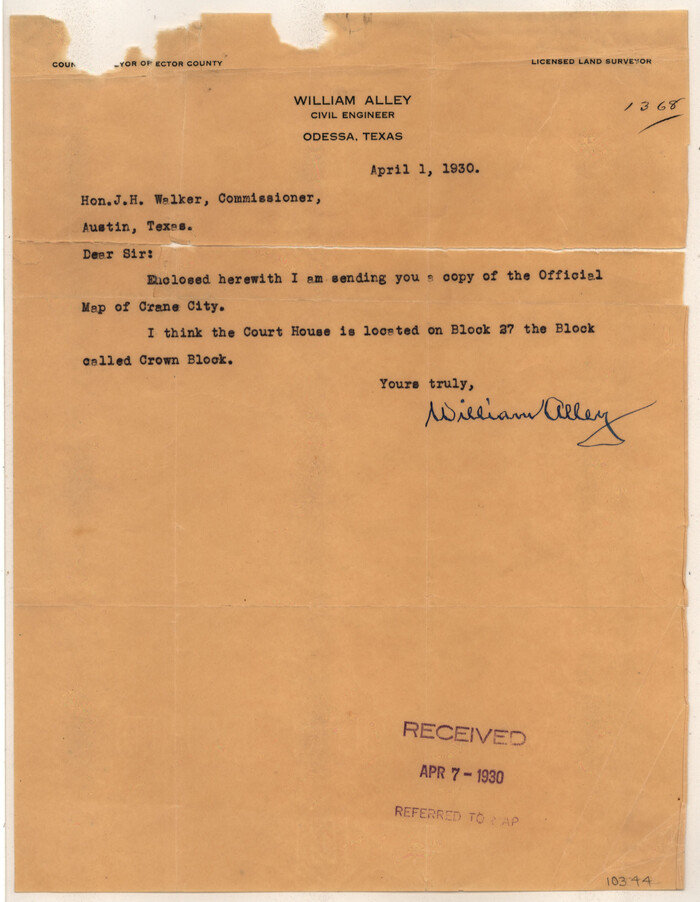
Crane County Sketch File 22
1930
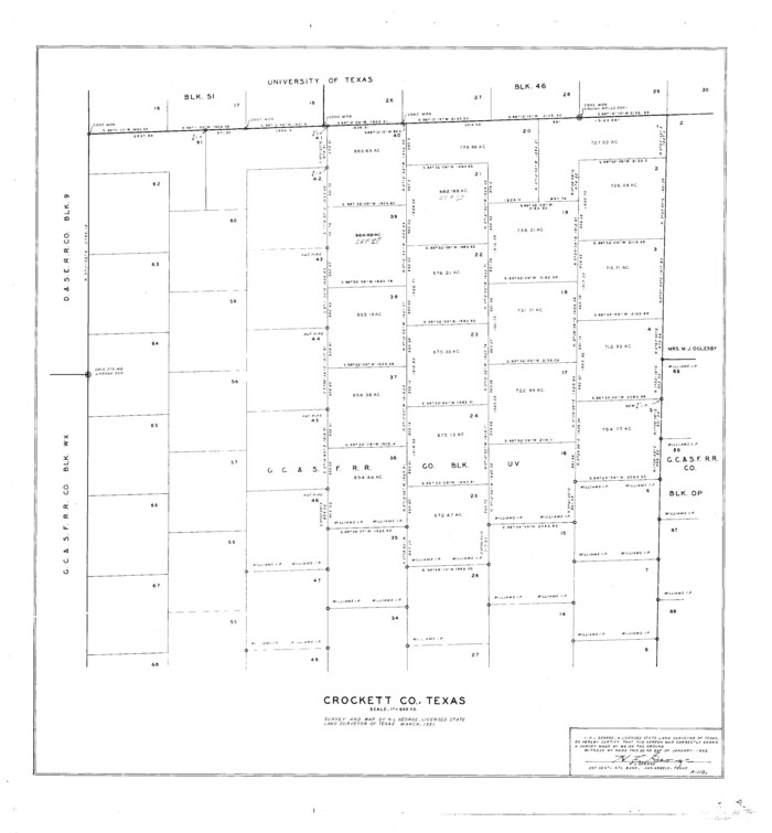
Crockett County Sketch File 85
1952

Crockett County Sketch File D
1903
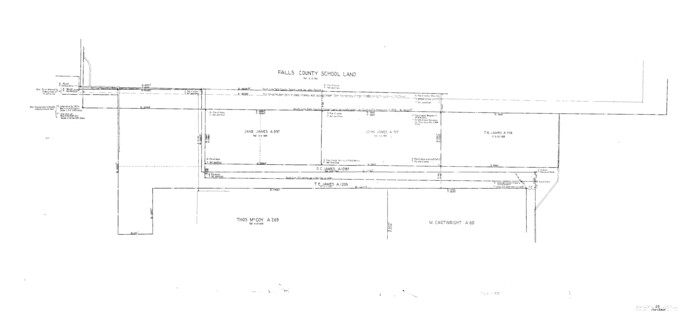
Archer County Sketch File 25
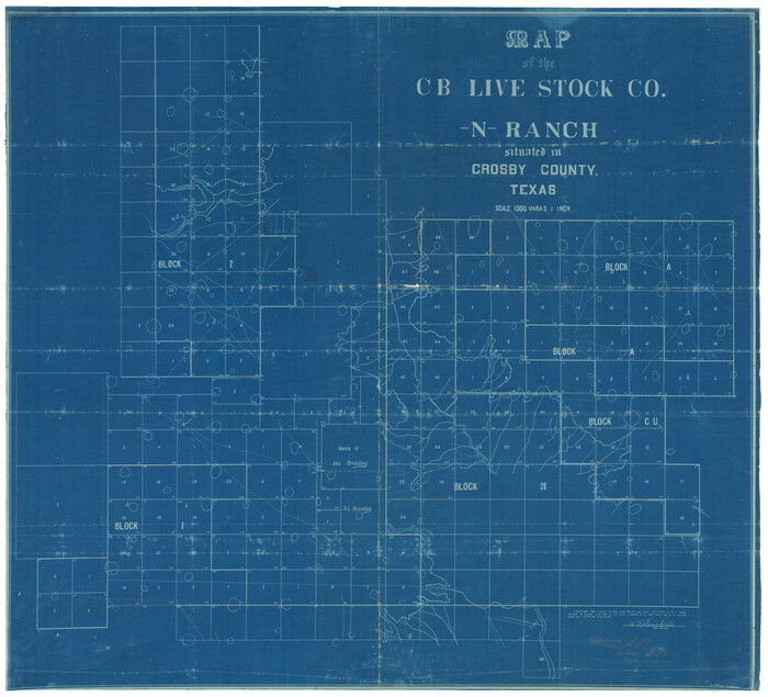
Crosby County Sketch File 15a
1907

Anderson County Sketch File 22
1925
-
Size
38.0 x 37.5 inches
-
Map/Doc
10315
-
Creation Date
1925

Anderson County Sketch File 25
1969
-
Size
40.9 x 21.9 inches
-
Map/Doc
10316
-
Creation Date
1969

Andrews County Sketch File 3
1928
-
Size
33.0 x 36.6 inches
-
Map/Doc
10317
-
Creation Date
1928

Aransas County Sketch File 11
-
Size
40.6 x 31.4 inches
-
Map/Doc
10318

Austin County Sketch File 5
1885
-
Size
47.7 x 24.6 inches
-
Map/Doc
10319
-
Creation Date
1885

Bastrop County Sketch File 9
1943
-
Size
46.5 x 20.6 inches
-
Map/Doc
10320
-
Creation Date
1943

Baylor County Sketch File 10
1890
-
Size
19.3 x 42.7 inches
-
Map/Doc
10321
-
Creation Date
1890

Baylor County Sketch File 11A
-
Size
33.9 x 32.0 inches
-
Map/Doc
10322

Baylor County Sketch File 12D
1900
-
Size
20.0 x 42.5 inches
-
Map/Doc
10323
-
Creation Date
1900

Baylor County Sketch File 23
1927
-
Size
25.2 x 48.9 inches
-
Map/Doc
10324
-
Creation Date
1927

Brazoria County Sketch File 36
1933
-
Size
34.6 x 45.6 inches
-
Map/Doc
10325
-
Creation Date
1933

Brazoria County Sketch File 45
1980
-
Size
32.0 x 43.1 inches
-
Map/Doc
10326
-
Creation Date
1980

Brazoria County Sketch File 55
1899
-
Size
14.9 x 55.0 inches
-
Map/Doc
10327
-
Creation Date
1899

Castro County Sketch File 18
1988
-
Size
40.4 x 37.7 inches
-
Map/Doc
10330
-
Creation Date
1988

Chambers County Sketch File 21
-
Size
29.3 x 32.8 inches
-
Map/Doc
10331

Chambers County Sketch File 29
-
Size
29.0 x 34.5 inches
-
Map/Doc
10332

Chambers County Sketch File 37
-
Size
25.0 x 43.8 inches
-
Map/Doc
10333

Cherokee County Sketch File 32
-
Size
45.2 x 30.0 inches
-
Map/Doc
10334

Archer County Sketch File 8
-
Size
40.9 x 31.5 inches
-
Map/Doc
10336

Cochran County Sketch File 1
-
Size
44.6 x 32.5 inches
-
Map/Doc
10337

Coke County Sketch File 23
-
Size
43.9 x 18.5 inches
-
Map/Doc
10338

Coleman County Sketch File 31
-
Size
31.2 x 41.9 inches
-
Map/Doc
10339

Cooke County Sketch File 40
-
Size
36.3 x 34.0 inches
-
Map/Doc
10341

Cottle County Sketch File 7 1/2
1889
-
Size
40.2 x 21.0 inches
-
Map/Doc
10342
-
Creation Date
1889

Crane County Sketch File 1
-
Size
44.8 x 14.6 inches
-
Map/Doc
10343

Crane County Sketch File 22
1930
-
Size
30.6 x 31.1 inches
-
Map/Doc
10344
-
Creation Date
1930

Crockett County Sketch File 85
1952
-
Size
33.7 x 31.2 inches
-
Map/Doc
10345
-
Creation Date
1952

Crockett County Sketch File D
1903
-
Size
24.6 x 48.0 inches
-
Map/Doc
10347
-
Creation Date
1903

Archer County Sketch File 25
-
Size
22.3 x 46.6 inches
-
Map/Doc
10348

Crosby County Sketch File 15a
1907
-
Size
37.6 x 41.1 inches
-
Map/Doc
10352
-
Creation Date
1907