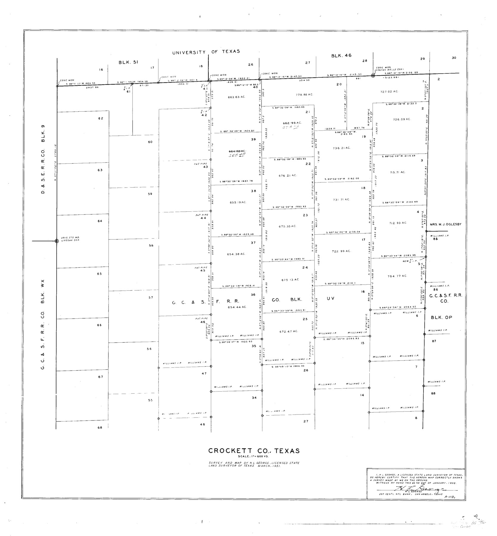
Crockett County Sketch File 85
N. pt. of G.C.&S.F. R.R. Blk. UV
-
Map/Doc
10345
-
Collection
General Map Collection
-
Object Dates
1/22/1952 (Creation Date)
1/25/1952 (File Date)
-
People and Organizations
H.L. George (Surveyor/Engineer)
-
Counties
Crockett
-
Subjects
Surveying Sketch File
-
Height x Width
33.7 x 31.2 inches
85.6 x 79.3 cm
-
Medium
paper, photocopy
-
Scale
1" = 600 varas
Part of: General Map Collection
Comanche County Working Sketch 30

Print $20.00
- Digital $50.00
Comanche County Working Sketch 30
1988
Size 18.8 x 28.2 inches
Map/Doc 68164
Coryell County Working Sketch 15

Print $20.00
- Digital $50.00
Coryell County Working Sketch 15
1957
Size 24.3 x 20.8 inches
Map/Doc 68222
Map of the chief part of the Southern States and part of the Western engraved to illustrate Mitchell's school and family geography

Print $20.00
- Digital $50.00
Map of the chief part of the Southern States and part of the Western engraved to illustrate Mitchell's school and family geography
1839
Size 11.8 x 17.5 inches
Map/Doc 93497
Flight Mission No. CUG-2P, Frame 69, Kleberg County

Print $20.00
- Digital $50.00
Flight Mission No. CUG-2P, Frame 69, Kleberg County
1956
Size 18.4 x 22.2 inches
Map/Doc 86206
Outer Continental Shelf Leasing Maps (Louisiana Offshore Operations)

Print $20.00
- Digital $50.00
Outer Continental Shelf Leasing Maps (Louisiana Offshore Operations)
1955
Size 9.7 x 11.3 inches
Map/Doc 76089
Callahan County Working Sketch 7

Print $20.00
- Digital $50.00
Callahan County Working Sketch 7
1955
Size 25.1 x 12.7 inches
Map/Doc 67889
Bee County Working Sketch 33

Print $20.00
- Digital $50.00
Bee County Working Sketch 33
1980
Size 32.0 x 28.2 inches
Map/Doc 67284
Gaines County Working Sketch 4

Print $20.00
- Digital $50.00
Gaines County Working Sketch 4
1939
Size 44.5 x 43.1 inches
Map/Doc 69304
[Caddo Lake & Subdivisions]
![2896, [Caddo Lake & Subdivisions], General Map Collection](https://historictexasmaps.com/wmedia_w700/maps/2896-1.tif.jpg)
Print $20.00
- Digital $50.00
[Caddo Lake & Subdivisions]
1918
Size 31.3 x 28.6 inches
Map/Doc 2896
Reeves County Working Sketch 3

Print $20.00
- Digital $50.00
Reeves County Working Sketch 3
1908
Size 18.7 x 23.1 inches
Map/Doc 63445
McCulloch County Rolled Sketch 2

Digital $50.00
McCulloch County Rolled Sketch 2
Size 81.6 x 30.0 inches
Map/Doc 9496
Louisiana and Texas Intracoastal Waterway, Section 7, Galveston Bay to Brazos River and Section 8, Brazos River to Matagorda Bay

Print $20.00
- Digital $50.00
Louisiana and Texas Intracoastal Waterway, Section 7, Galveston Bay to Brazos River and Section 8, Brazos River to Matagorda Bay
1928
Size 31.3 x 42.7 inches
Map/Doc 73065
You may also like
Travis County Sketch File 45

Print $20.00
- Digital $50.00
Travis County Sketch File 45
1937
Size 22.7 x 37.8 inches
Map/Doc 12467
Castro County Rolled Sketch 13A

Print $20.00
- Digital $50.00
Castro County Rolled Sketch 13A
1967
Size 20.0 x 18.9 inches
Map/Doc 5423
Archer County Sketch File 7

Print $6.00
- Digital $50.00
Archer County Sketch File 7
Size 8.8 x 11.8 inches
Map/Doc 13636
Hemphill County Working Sketch 30

Print $40.00
- Digital $50.00
Hemphill County Working Sketch 30
1974
Size 52.5 x 26.7 inches
Map/Doc 66125
[Surveys along Trinity River]
![7, [Surveys along Trinity River], General Map Collection](https://historictexasmaps.com/wmedia_w700/maps/7.tif.jpg)
Print $20.00
- Digital $50.00
[Surveys along Trinity River]
1844
Size 21.4 x 12.6 inches
Map/Doc 7
General Highway Map, Grayson County, Texas

Print $20.00
General Highway Map, Grayson County, Texas
1940
Size 24.9 x 18.4 inches
Map/Doc 79104
Flight Mission No. DQN-2K, Frame 143, Calhoun County

Print $20.00
- Digital $50.00
Flight Mission No. DQN-2K, Frame 143, Calhoun County
1953
Size 18.7 x 22.3 inches
Map/Doc 84312
Jim Wells County Working Sketch 10

Print $20.00
- Digital $50.00
Jim Wells County Working Sketch 10
1952
Size 18.7 x 17.8 inches
Map/Doc 66608

[Sketch for Mineral Application 15559 - Hutchinson County, Canadian River]
![65681, [Sketch for Mineral Application 15559 - Hutchinson County, Canadian River], General Map Collection](https://historictexasmaps.com/wmedia_w700/maps/65681-1.tif.jpg)
Print $20.00
- Digital $50.00
[Sketch for Mineral Application 15559 - Hutchinson County, Canadian River]
1926
Size 13.2 x 12.0 inches
Map/Doc 65681
That Part of Disturnell's Treaty Map in the Vicinity of the Rio Grande and Southern Boundary of New Mexico

Print $20.00
That Part of Disturnell's Treaty Map in the Vicinity of the Rio Grande and Southern Boundary of New Mexico
1851
Size 10.7 x 12.9 inches
Map/Doc 76285
Flight Mission No. CUG-1P, Frame 163, Kleberg County

Print $20.00
- Digital $50.00
Flight Mission No. CUG-1P, Frame 163, Kleberg County
1956
Size 18.6 x 22.2 inches
Map/Doc 86170