
Surveys on the Coleto Creek, Goliad County
1841
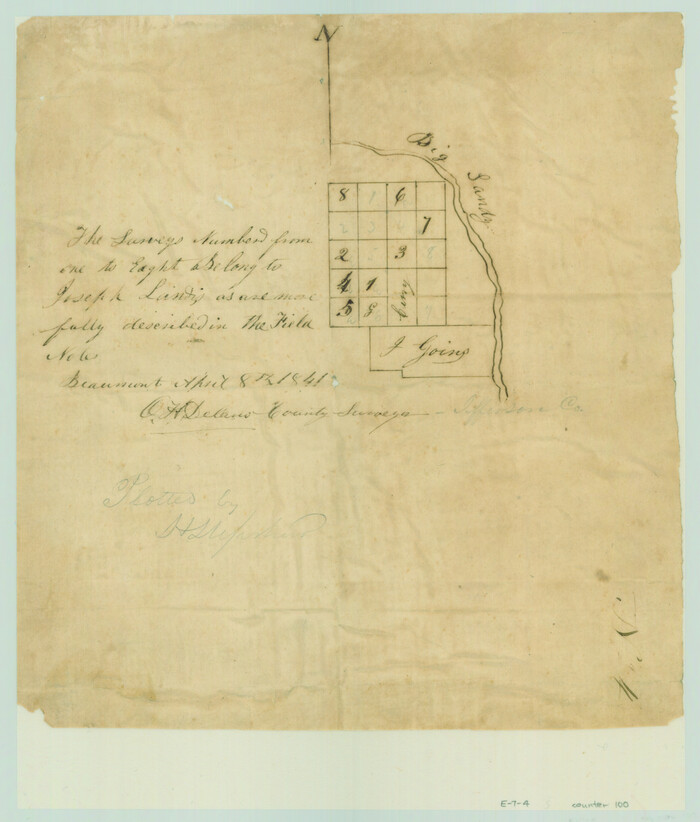
[Surveys in the Jefferson District along Big Sandy Creek]
1841
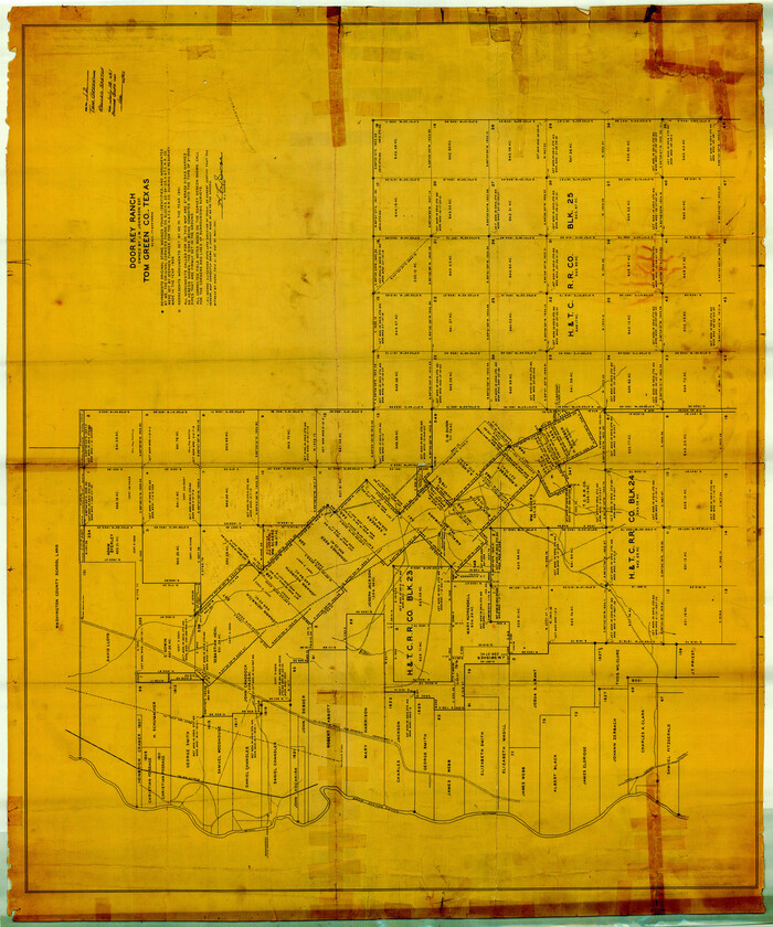
Tom Green County Rolled Sketch 12
1951
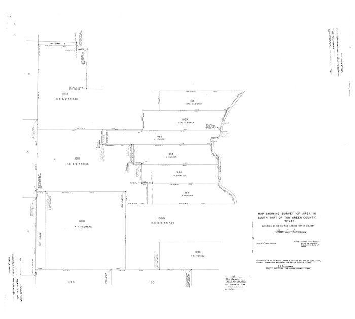
Tom Green County Rolled Sketch 15

Tom Green County Rolled Sketch 12A
1951
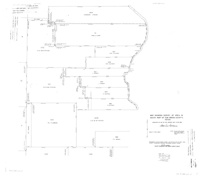
Tom Green County Rolled Sketch 16
1954
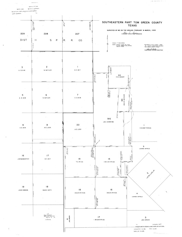
Tom Green County Rolled Sketch 17

Tom Green County Rolled Sketch 22
1966

Tom Green County Rolled Sketch 26
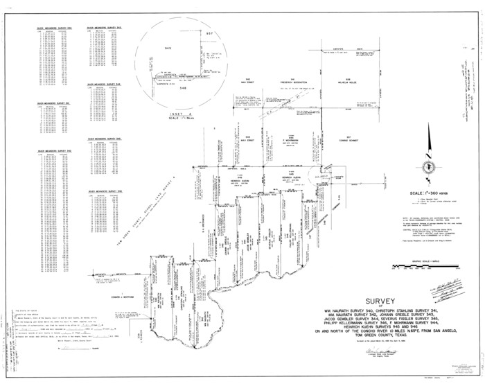
Tom Green County Rolled Sketch 27
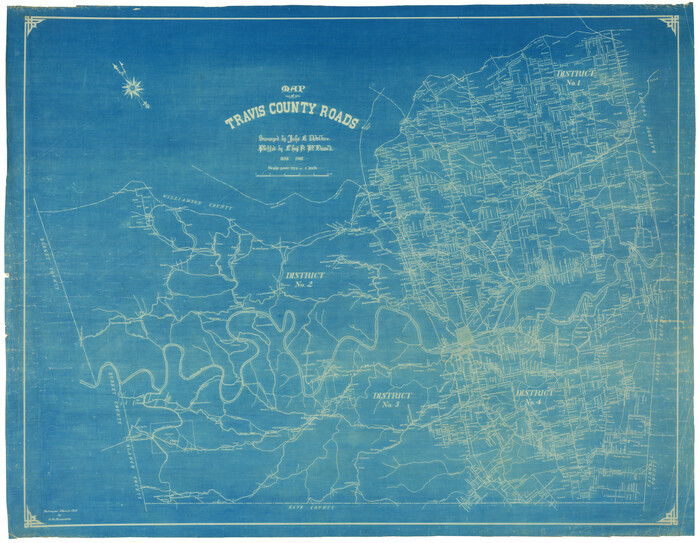
Travis County Rolled Sketch 3
1902

Travis County Rolled Sketch 15
1939
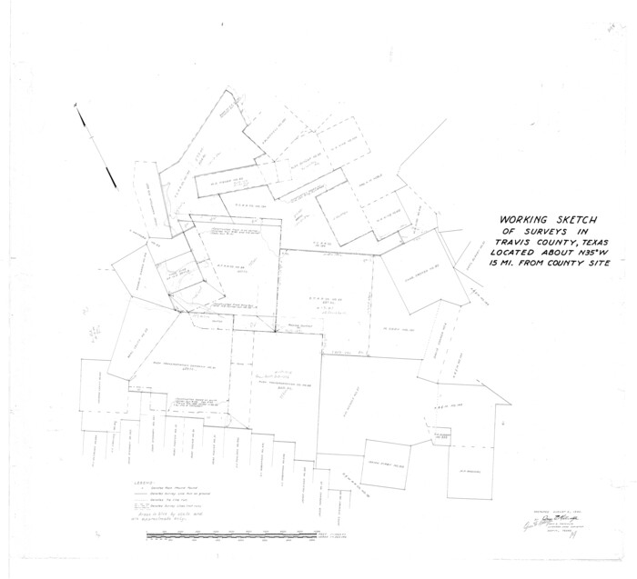
Travis County Rolled Sketch 19
1940

Travis County Rolled Sketch 32A
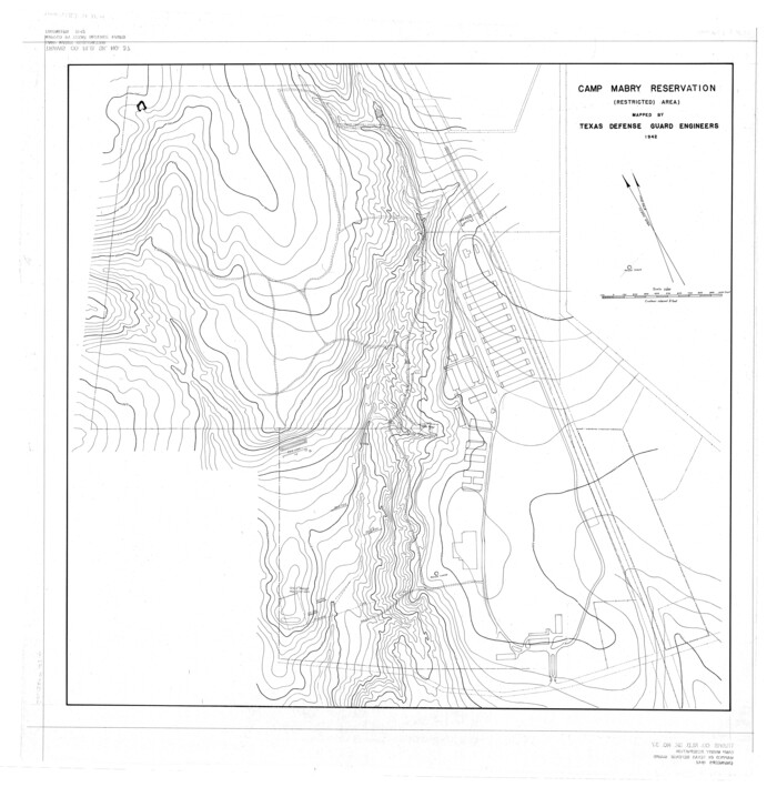
Travis County Rolled Sketch 37
1942

Travis County Rolled Sketch 47
1925

Travis County Rolled Sketch 49

Travis County Rolled Sketch 55

Trinity County Rolled Sketch 2
1948

Trinity County Rolled Sketch 3
1948
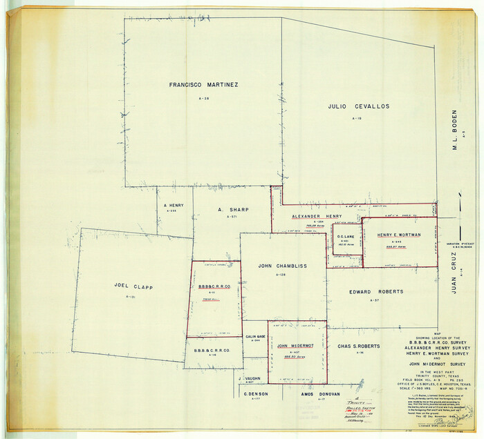
Trinity County Rolled Sketch 4
1948

Tyler County Rolled Sketch 3
1946

Tyler County Rolled Sketch 4
1952
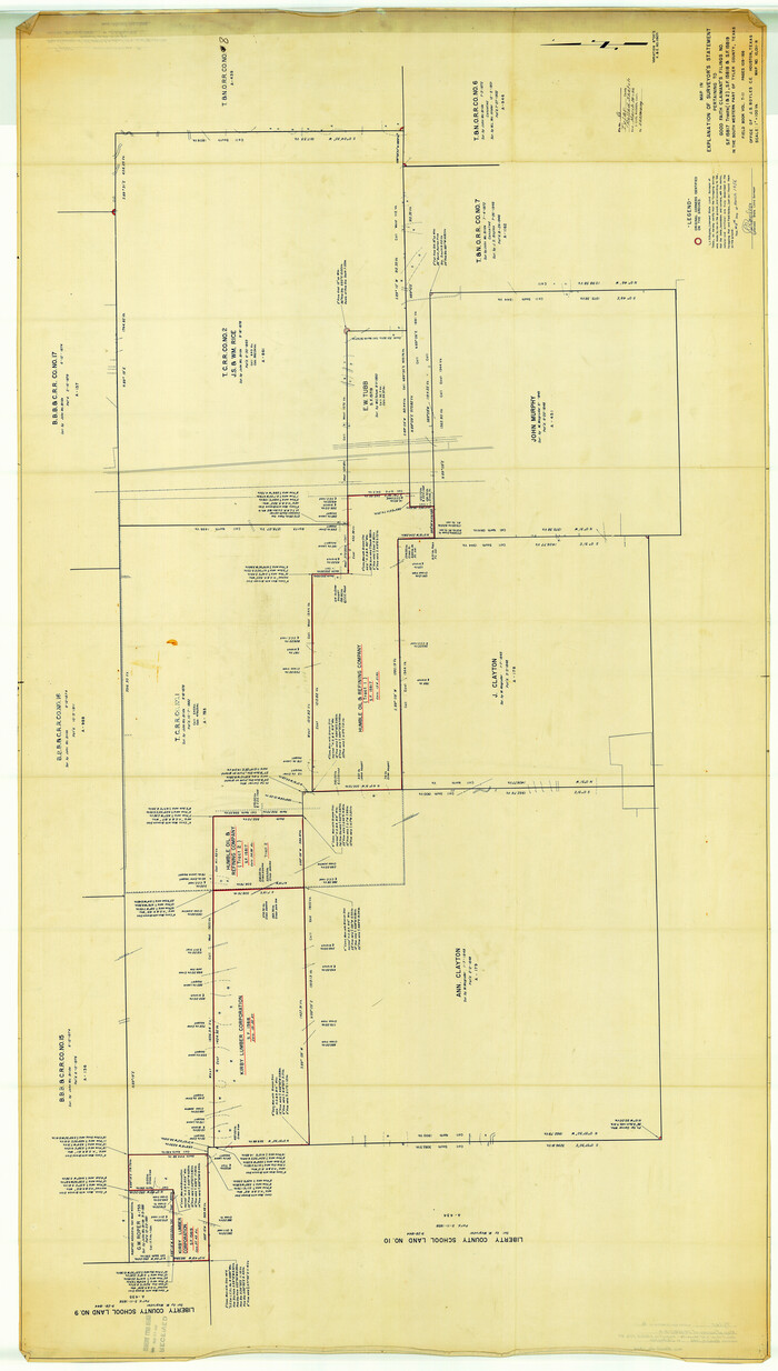
Tyler County Rolled Sketch 6
1956

Tyler County Rolled Sketch 7
1960

Tyler County Rolled Sketch 10
1982

Tyler County Rolled Sketch 11

Upton County Rolled Sketch 8
1912

Upton County Rolled Sketch 10
1911

Upton County Rolled Sketch 12

Surveys on the Coleto Creek, Goliad County
1841
-
Size
13.8 x 14.9 inches
-
Map/Doc
10
-
Creation Date
1841
![100, [Surveys in the Jefferson District along Big Sandy Creek], General Map Collection](https://historictexasmaps.com/wmedia_w700/maps/100.tif.jpg)
[Surveys in the Jefferson District along Big Sandy Creek]
1841
-
Size
9.5 x 8.1 inches
-
Map/Doc
100
-
Creation Date
1841

Tom Green County Rolled Sketch 12
1951
-
Size
51.0 x 42.5 inches
-
Map/Doc
10000
-
Creation Date
1951

Tom Green County Rolled Sketch 15
-
Size
38.7 x 43.1 inches
-
Map/Doc
10002

Tom Green County Rolled Sketch 12A
1951
-
Size
42.9 x 50.4 inches
-
Map/Doc
10003
-
Creation Date
1951

Tom Green County Rolled Sketch 16
1954
-
Size
38.2 x 44.6 inches
-
Map/Doc
10004
-
Creation Date
1954

Tom Green County Rolled Sketch 17
-
Size
49.2 x 37.8 inches
-
Map/Doc
10005

Tom Green County Rolled Sketch 22
1966
-
Size
38.0 x 43.6 inches
-
Map/Doc
10006
-
Creation Date
1966

Tom Green County Rolled Sketch 26
-
Size
40.0 x 48.3 inches
-
Map/Doc
10007

Tom Green County Rolled Sketch 27
-
Size
36.1 x 45.4 inches
-
Map/Doc
10008

Travis County Rolled Sketch 3
1902
-
Size
37.2 x 48.0 inches
-
Map/Doc
10009
-
Creation Date
1902

Travis County Rolled Sketch 15
1939
-
Size
25.4 x 37.6 inches
-
Map/Doc
10011
-
Creation Date
1939

Travis County Rolled Sketch 19
1940
-
Size
34.4 x 37.8 inches
-
Map/Doc
10012
-
Creation Date
1940

Travis County Rolled Sketch 32A
-
Size
57.6 x 37.3 inches
-
Map/Doc
10013

Travis County Rolled Sketch 37
1942
-
Size
36.1 x 35.6 inches
-
Map/Doc
10014
-
Creation Date
1942

Travis County Rolled Sketch 47
1925
-
Size
24.9 x 56.8 inches
-
Map/Doc
10016
-
Creation Date
1925

Travis County Rolled Sketch 49
-
Size
43.0 x 39.9 inches
-
Map/Doc
10017

Travis County Rolled Sketch 55
-
Size
43.1 x 50.5 inches
-
Map/Doc
10020

Trinity County Rolled Sketch 2
1948
-
Size
34.5 x 34.9 inches
-
Map/Doc
10024
-
Creation Date
1948

Trinity County Rolled Sketch 3
1948
-
Size
33.8 x 50.3 inches
-
Map/Doc
10025
-
Creation Date
1948

Trinity County Rolled Sketch 4
1948
-
Size
38.5 x 42.4 inches
-
Map/Doc
10026
-
Creation Date
1948

Tyler County Rolled Sketch 3
1946
-
Size
45.5 x 35.6 inches
-
Map/Doc
10027
-
Creation Date
1946

Tyler County Rolled Sketch 4
1952
-
Size
38.9 x 44.0 inches
-
Map/Doc
10028
-
Creation Date
1952

Tyler County Rolled Sketch 6
1956
-
Size
76.1 x 43.2 inches
-
Map/Doc
10029
-
Creation Date
1956

Tyler County Rolled Sketch 7
1960
-
Size
40.0 x 46.5 inches
-
Map/Doc
10030
-
Creation Date
1960

Tyler County Rolled Sketch 10
1982
-
Size
48.7 x 35.4 inches
-
Map/Doc
10032
-
Creation Date
1982

Tyler County Rolled Sketch 11
-
Size
34.2 x 36.4 inches
-
Map/Doc
10033

Upton County Rolled Sketch 8
1912
-
Size
17.8 x 61.4 inches
-
Map/Doc
10034
-
Creation Date
1912

Upton County Rolled Sketch 10
1911
-
Size
41.2 x 43.0 inches
-
Map/Doc
10035
-
Creation Date
1911

Upton County Rolled Sketch 12
-
Size
30.3 x 38.3 inches
-
Map/Doc
10036