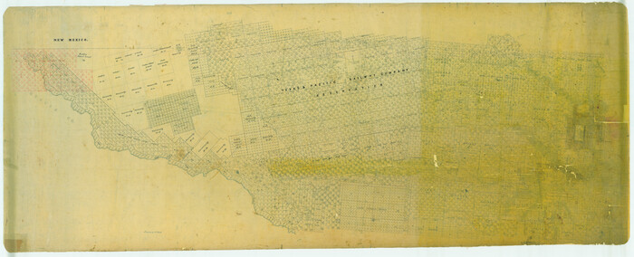
[Young Territory]

Print $40.00
- Digital $50.00
[Young Territory]
1875
Size: 49.0 x 87.4 inches
16784
[William Steele Survey near Copano Bay]
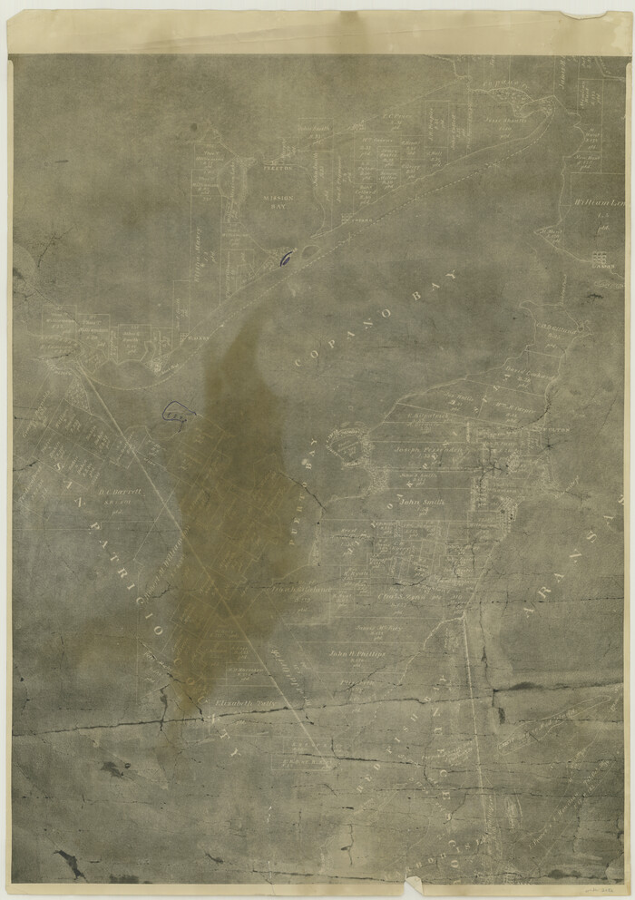
Print $20.00
- Digital $50.00
[William Steele Survey near Copano Bay]
1927
Size: 26.1 x 18.4 inches
2082
[William Steele Survey near Copano Bay]
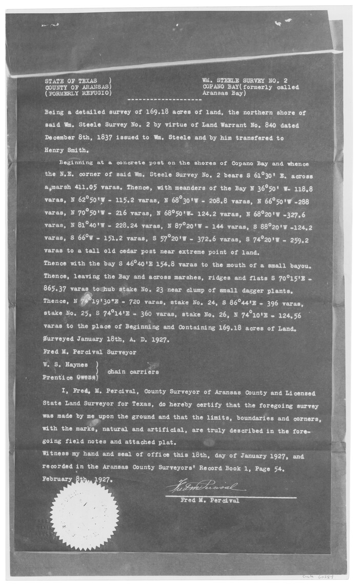
Print $3.00
- Digital $50.00
[William Steele Survey near Copano Bay]
1927
Size: 15.5 x 9.5 inches
60284
[William Steele Survey near Copano Bay]
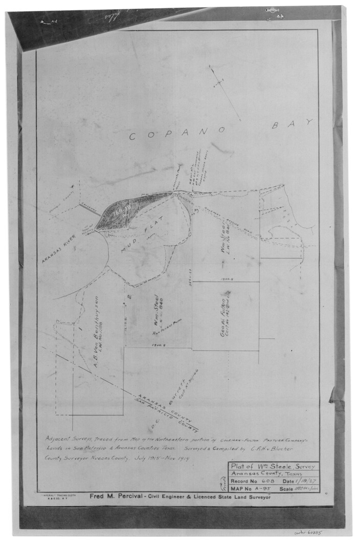
Print $3.00
- Digital $50.00
[William Steele Survey near Copano Bay]
1927
Size: 14.9 x 9.8 inches
60285
[Victor Blanco's survey along the San Antonio River]
Print $2.00
- Digital $50.00
[Victor Blanco's survey along the San Antonio River]
Size: 11.2 x 8.2 inches
187
[Valdez and Martinez grants in the Goliad District]
Print $3.00
- Digital $50.00
[Valdez and Martinez grants in the Goliad District]
1842
Size: 10.6 x 9.5 inches
54
[Val Verde County]
Print $20.00
- Digital $50.00
[Val Verde County]
1898
Size: 39.1 x 32.4 inches
63095
[Val Verde County]
Print $20.00
- Digital $50.00
[Val Verde County]
1898
Size: 42.6 x 34.9 inches
63096
[Val Verde County]
Print $20.00
- Digital $50.00
[Val Verde County]
1898
Size: 41.1 x 37.1 inches
63097
[Untitled Map of Baja California & West Coast of Mexico]

Print $20.00
- Digital $50.00
[Untitled Map of Baja California & West Coast of Mexico]
1541
Size: 11.1 x 16.7 inches
97353
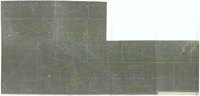
[University Lands]
Print $40.00
- Digital $50.00
[University Lands]
1885
Size: 52.9 x 39.5 inches
62966
[University Lands in West Texas]
Print $20.00
- Digital $50.00
[University Lands in West Texas]
1938
Size: 20.3 x 28.1 inches
2422
[University Lands in El Paso County]
Print $20.00
- Digital $50.00
[University Lands in El Paso County]
1886
Size: 29.0 x 43.4 inches
2426
[University Land in Loving, Ward, Winkler, Pecos, Crane, Ector, Upton, Crockett, Schleicher, Irion and Reagan Counties]
Print $40.00
- Digital $50.00
[University Land in Loving, Ward, Winkler, Pecos, Crane, Ector, Upton, Crockett, Schleicher, Irion and Reagan Counties]
1938
Size: 37.9 x 78.5 inches
2424
[Unidentified Railroad through Denton and Dallas County]

Print $40.00
- Digital $50.00
[Unidentified Railroad through Denton and Dallas County]
Size: 6.8 x 121.3 inches
64774
[Unidentified Railroad through Denton and Dallas County]

Print $40.00
- Digital $50.00
[Unidentified Railroad through Denton and Dallas County]
Size: 6.8 x 73.3 inches
64775
[Triangulation Net of Part of Texas. Travis County to Red River]
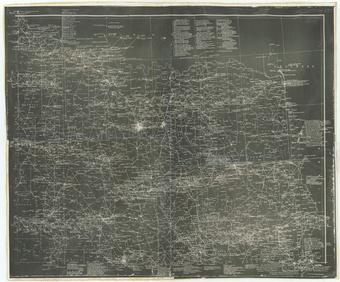
Print $20.00
- Digital $50.00
[Triangulation Net of Part of Texas. Travis County to Red River]
1928
Size: 28.2 x 33.9 inches
3101
[Travis Station Map - Tracks and Structures - Lands. San Antonio & Aransas Pass Railway Co.]
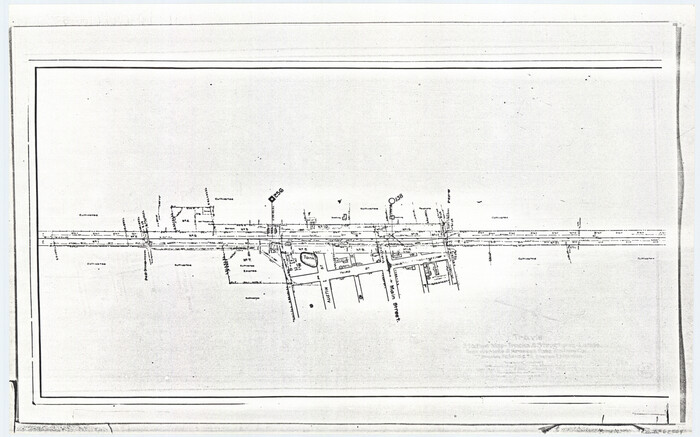
Print $4.00
- Digital $50.00
[Travis Station Map - Tracks and Structures - Lands. San Antonio & Aransas Pass Railway Co.]
1919
Size: 11.7 x 18.7 inches
62564
[Travis District]
Print $40.00
- Digital $50.00
[Travis District]
1840
Size: 54.7 x 42.0 inches
88739
[Travis District]
Print $40.00
- Digital $50.00
[Travis District]
1840
Size: 54.7 x 46.0 inches
88740
[Traverse up the Brazos and Colorado River showing distance from county site to county site]
Print $40.00
- Digital $50.00
[Traverse up the Brazos and Colorado River showing distance from county site to county site]
1871
Size: 16.2 x 98.8 inches
2054
[Town lots on Galveston Island]
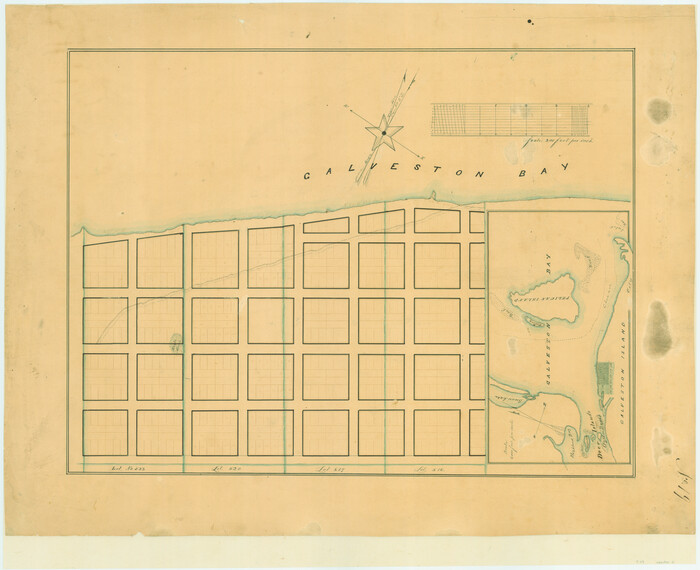
Print $20.00
- Digital $50.00
[Town lots on Galveston Island]
1839
Size: 18.8 x 23.0 inches
11
[Topographical Map showing part of Miller Day Ranch in Southwest Part of Coleman County]
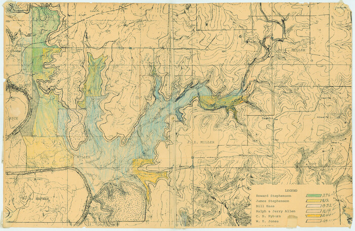
Print $3.00
- Digital $50.00
[Topographical Map showing part of Miller Day Ranch in Southwest Part of Coleman County]
Size: 11.3 x 17.3 inches
81515
[Tom Green County]
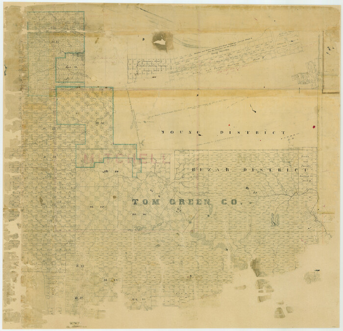
Print $20.00
- Digital $50.00
[Tom Green County]
1888
Size: 33.2 x 34.4 inches
16901
[Tom Green County]
Print $40.00
- Digital $50.00
[Tom Green County]
1888
Size: 45.8 x 113.0 inches
82060
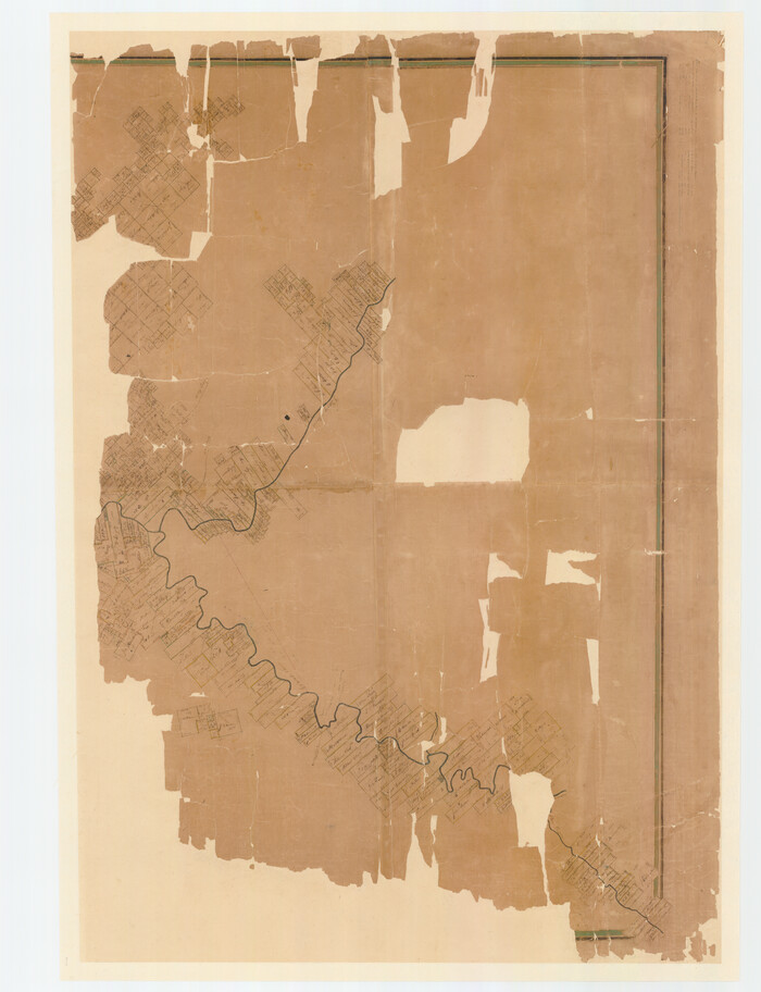
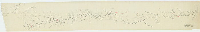
[Titles along the Trinity River]
Print $3.00
- Digital $50.00
[Titles along the Trinity River]
Size: 10.6 x 15.8 inches
175
[Three-Marine League line stipulation as determined by US Supreme Court, October 1968 term; corrections to stipulation; Texas GLO approximations of county areas embraced by county boundaries, shoreline and 3-marine league line and 3-mile line]

Print $64.00
[Three-Marine League line stipulation as determined by US Supreme Court, October 1968 term; corrections to stipulation; Texas GLO approximations of county areas embraced by county boundaries, shoreline and 3-marine league line and 3-mile line]
1962
Size: 13.4 x 8.7 inches
61371
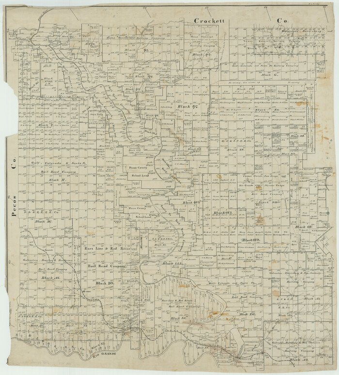
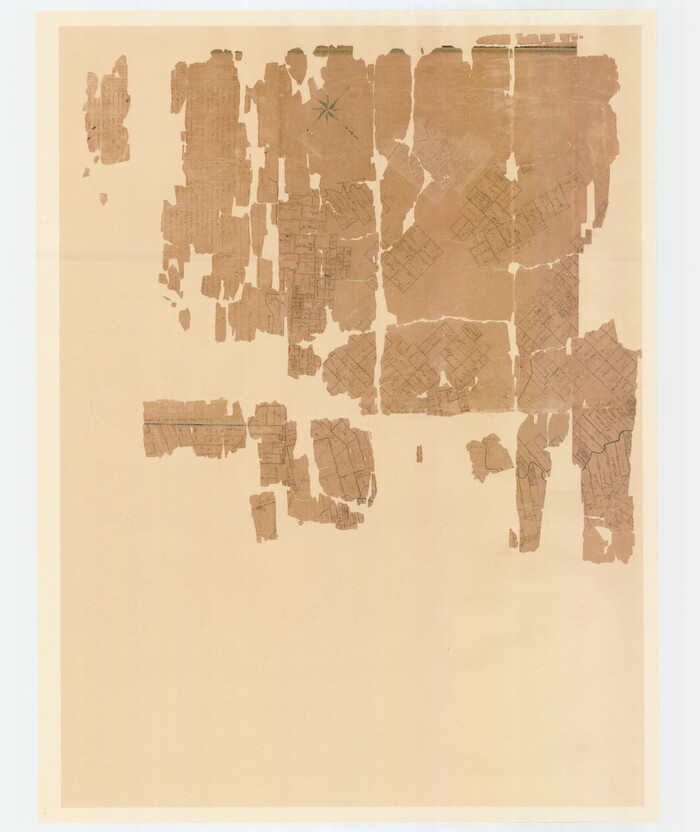
[Young Territory]
Print $40.00
- Digital $50.00
[Young Territory]
1875
-
Size
49.0 x 87.4 inches
-
Map/Doc
16784
-
Creation Date
1875
[William Steele Survey near Copano Bay]
Print $20.00
- Digital $50.00
[William Steele Survey near Copano Bay]
1927
-
Size
26.1 x 18.4 inches
-
Map/Doc
2082
-
Creation Date
1927
[William Steele Survey near Copano Bay]
Print $3.00
- Digital $50.00
[William Steele Survey near Copano Bay]
1927
-
Size
15.5 x 9.5 inches
-
Map/Doc
60284
-
Creation Date
1927
[William Steele Survey near Copano Bay]
Print $3.00
- Digital $50.00
[William Steele Survey near Copano Bay]
1927
-
Size
14.9 x 9.8 inches
-
Map/Doc
60285
-
Creation Date
1927
[Victoria District]
![1945, [Victoria District], General Map Collection](https://historictexasmaps.com/wmedia_w700/maps/1945.tif.jpg)
Print $20.00
- Digital $50.00
[Victoria District]
-
Size
34.8 x 25.6 inches
-
Map/Doc
1945
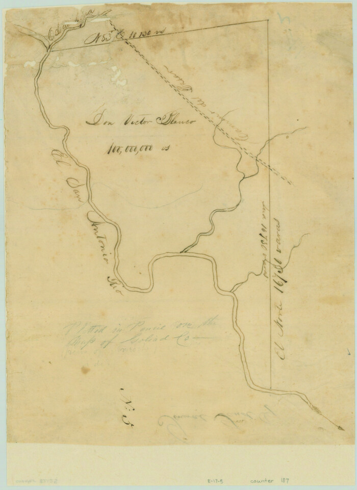
[Victor Blanco's survey along the San Antonio River]
Print $2.00
- Digital $50.00
[Victor Blanco's survey along the San Antonio River]
-
Size
11.2 x 8.2 inches
-
Map/Doc
187
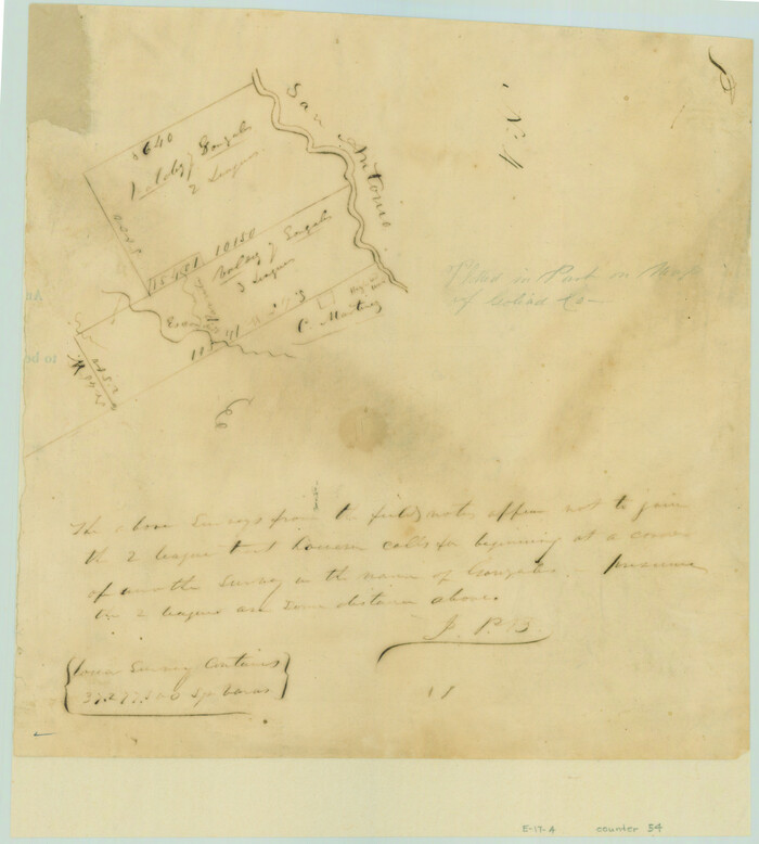
[Valdez and Martinez grants in the Goliad District]
Print $3.00
- Digital $50.00
[Valdez and Martinez grants in the Goliad District]
1842
-
Size
10.6 x 9.5 inches
-
Map/Doc
54
-
Creation Date
1842
[Val Verde County]
Print $20.00
- Digital $50.00
[Val Verde County]
1898
-
Size
39.1 x 32.4 inches
-
Map/Doc
63095
-
Creation Date
1898
[Val Verde County]
Print $20.00
- Digital $50.00
[Val Verde County]
1898
-
Size
42.6 x 34.9 inches
-
Map/Doc
63096
-
Creation Date
1898
[Val Verde County]
Print $20.00
- Digital $50.00
[Val Verde County]
1898
-
Size
41.1 x 37.1 inches
-
Map/Doc
63097
-
Creation Date
1898
[Untitled Map of Baja California & West Coast of Mexico]
Print $20.00
- Digital $50.00
[Untitled Map of Baja California & West Coast of Mexico]
1541
-
Size
11.1 x 16.7 inches
-
Map/Doc
97353
-
Creation Date
1541
[University Lands]
Print $40.00
- Digital $50.00
[University Lands]
1885
-
Size
52.9 x 39.5 inches
-
Map/Doc
62966
-
Creation Date
1885
[University Lands in West Texas]
Print $20.00
- Digital $50.00
[University Lands in West Texas]
1938
-
Size
20.3 x 28.1 inches
-
Map/Doc
2422
-
Creation Date
1938
[University Lands in El Paso County]
Print $20.00
- Digital $50.00
[University Lands in El Paso County]
1886
-
Size
29.0 x 43.4 inches
-
Map/Doc
2426
-
Creation Date
1886
[University Land in Loving, Ward, Winkler, Pecos, Crane, Ector, Upton, Crockett, Schleicher, Irion and Reagan Counties]
Print $40.00
- Digital $50.00
[University Land in Loving, Ward, Winkler, Pecos, Crane, Ector, Upton, Crockett, Schleicher, Irion and Reagan Counties]
1938
-
Size
37.9 x 78.5 inches
-
Map/Doc
2424
-
Creation Date
1938
[United States]
![97197, [United States], General Map Collection](https://historictexasmaps.com/wmedia_w700/maps/97197.tif.jpg)
Print $20.00
- Digital $50.00
[United States]
1848
-
Size
17.7 x 37.4 inches
-
Map/Doc
97197
-
Creation Date
1848
[Unidentified Railroad through Denton and Dallas County]
Print $40.00
- Digital $50.00
[Unidentified Railroad through Denton and Dallas County]
-
Size
6.8 x 121.3 inches
-
Map/Doc
64774
[Unidentified Railroad through Denton and Dallas County]
Print $40.00
- Digital $50.00
[Unidentified Railroad through Denton and Dallas County]
-
Size
6.8 x 73.3 inches
-
Map/Doc
64775
[Triangulation Net of Part of Texas. Travis County to Red River]
Print $20.00
- Digital $50.00
[Triangulation Net of Part of Texas. Travis County to Red River]
1928
-
Size
28.2 x 33.9 inches
-
Map/Doc
3101
-
Creation Date
1928
[Travis Station Map - Tracks and Structures - Lands. San Antonio & Aransas Pass Railway Co.]
Print $4.00
- Digital $50.00
[Travis Station Map - Tracks and Structures - Lands. San Antonio & Aransas Pass Railway Co.]
1919
-
Size
11.7 x 18.7 inches
-
Map/Doc
62564
-
Creation Date
1919
[Travis District]
Print $40.00
- Digital $50.00
[Travis District]
1840
-
Size
54.7 x 42.0 inches
-
Map/Doc
88739
-
Creation Date
1840
[Travis District]
Print $40.00
- Digital $50.00
[Travis District]
1840
-
Size
54.7 x 46.0 inches
-
Map/Doc
88740
-
Creation Date
1840
[Traverse up the Brazos and Colorado River showing distance from county site to county site]
Print $40.00
- Digital $50.00
[Traverse up the Brazos and Colorado River showing distance from county site to county site]
1871
-
Size
16.2 x 98.8 inches
-
Map/Doc
2054
-
Creation Date
1871
[Town lots on Galveston Island]
Print $20.00
- Digital $50.00
[Town lots on Galveston Island]
1839
-
Size
18.8 x 23.0 inches
-
Map/Doc
11
-
Creation Date
1839
[Topographical Map showing part of Miller Day Ranch in Southwest Part of Coleman County]
Print $3.00
- Digital $50.00
[Topographical Map showing part of Miller Day Ranch in Southwest Part of Coleman County]
-
Size
11.3 x 17.3 inches
-
Map/Doc
81515
[Tom Green County]
Print $20.00
- Digital $50.00
[Tom Green County]
1888
-
Size
33.2 x 34.4 inches
-
Map/Doc
16901
-
Creation Date
1888
[Tom Green County]
Print $40.00
- Digital $50.00
[Tom Green County]
1888
-
Size
45.8 x 113.0 inches
-
Map/Doc
82060
-
Creation Date
1888
[Titles along the Trinity River]
Print $3.00
- Digital $50.00
[Titles along the Trinity River]
-
Size
10.6 x 15.8 inches
-
Map/Doc
175
[Three-Marine League line stipulation as determined by US Supreme Court, October 1968 term; corrections to stipulation; Texas GLO approximations of county areas embraced by county boundaries, shoreline and 3-marine league line and 3-mile line]
Print $64.00
[Three-Marine League line stipulation as determined by US Supreme Court, October 1968 term; corrections to stipulation; Texas GLO approximations of county areas embraced by county boundaries, shoreline and 3-marine league line and 3-mile line]
1962
-
Size
13.4 x 8.7 inches
-
Map/Doc
61371
-
Creation Date
1962