[William Steele Survey near Copano Bay]
Aransas County Miscellaneous Sketch
N-2-35
-
Map/Doc
60285
-
Collection
General Map Collection
-
Object Dates
1/18/1927 (Creation Date)
-
People and Organizations
Fred M. Percival (Surveyor/Engineer)
-
Counties
Aransas San Patricio
-
Subjects
Gulf of Mexico
-
Height x Width
14.9 x 9.8 inches
37.9 x 24.9 cm
Part of: General Map Collection
McMullen County Rolled Sketch JR
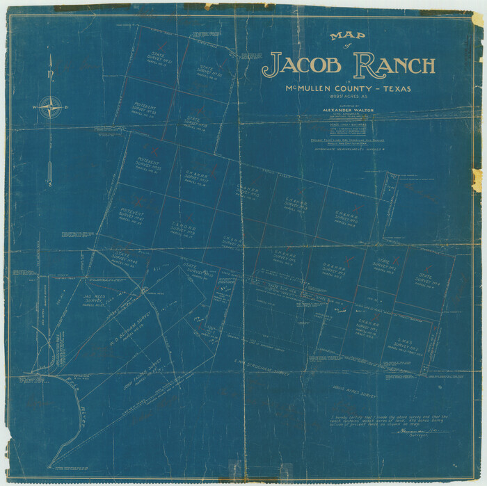

Print $20.00
- Digital $50.00
McMullen County Rolled Sketch JR
Size 29.6 x 29.6 inches
Map/Doc 6737
Carta Historica y Arqueologica


Print $20.00
- Digital $50.00
Carta Historica y Arqueologica
Size 26.0 x 34.4 inches
Map/Doc 96806
Flight Mission No. CRC-1R, Frame 155, Chambers County


Print $20.00
- Digital $50.00
Flight Mission No. CRC-1R, Frame 155, Chambers County
1956
Size 18.8 x 22.4 inches
Map/Doc 84717
Hill County Sketch File 24
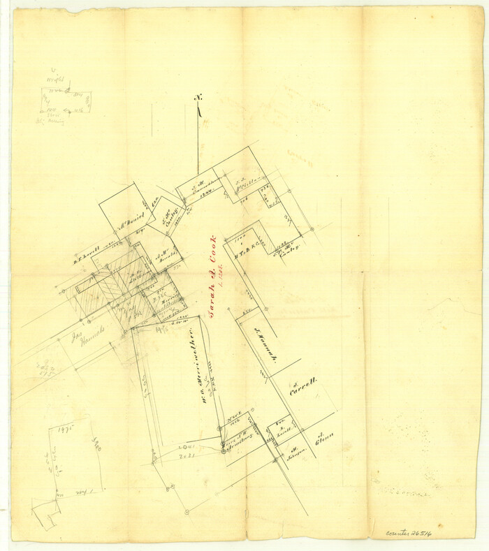

Print $40.00
- Digital $50.00
Hill County Sketch File 24
Size 15.6 x 13.8 inches
Map/Doc 26516
Coke County Working Sketch 15
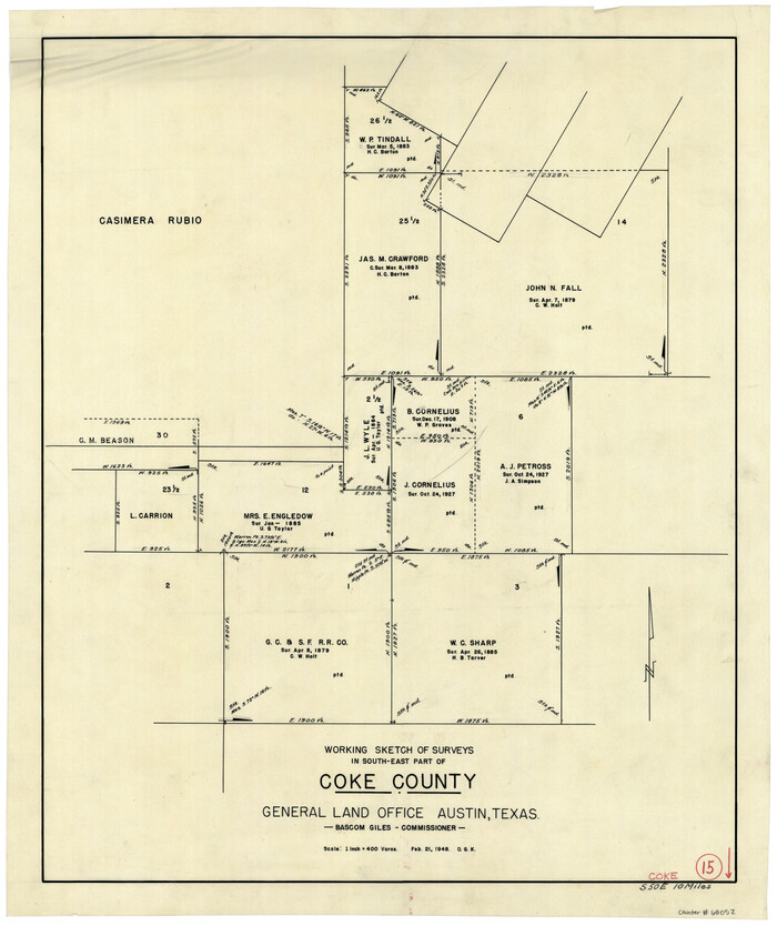

Print $20.00
- Digital $50.00
Coke County Working Sketch 15
1948
Size 25.7 x 21.7 inches
Map/Doc 68052
El Paso Street and Vicinity Map (Verso)
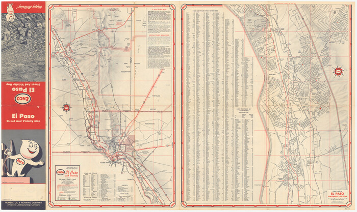

El Paso Street and Vicinity Map (Verso)
1962
Size 18.3 x 30.8 inches
Map/Doc 94176
Travis County Sketch File 30

Print $6.00
- Digital $50.00
Travis County Sketch File 30
1884
Size 17.0 x 11.0 inches
Map/Doc 38343
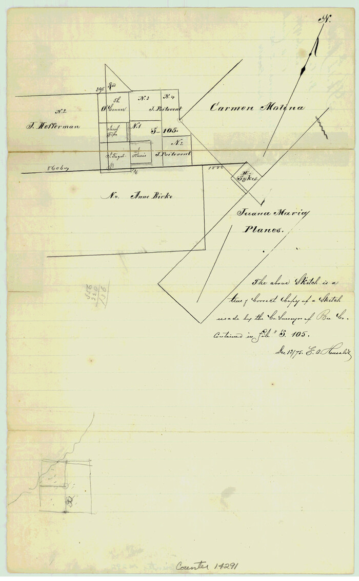
Bee County Sketch File 10

Print $4.00
- Digital $50.00
Bee County Sketch File 10
Size 12.8 x 7.9 inches
Map/Doc 14291
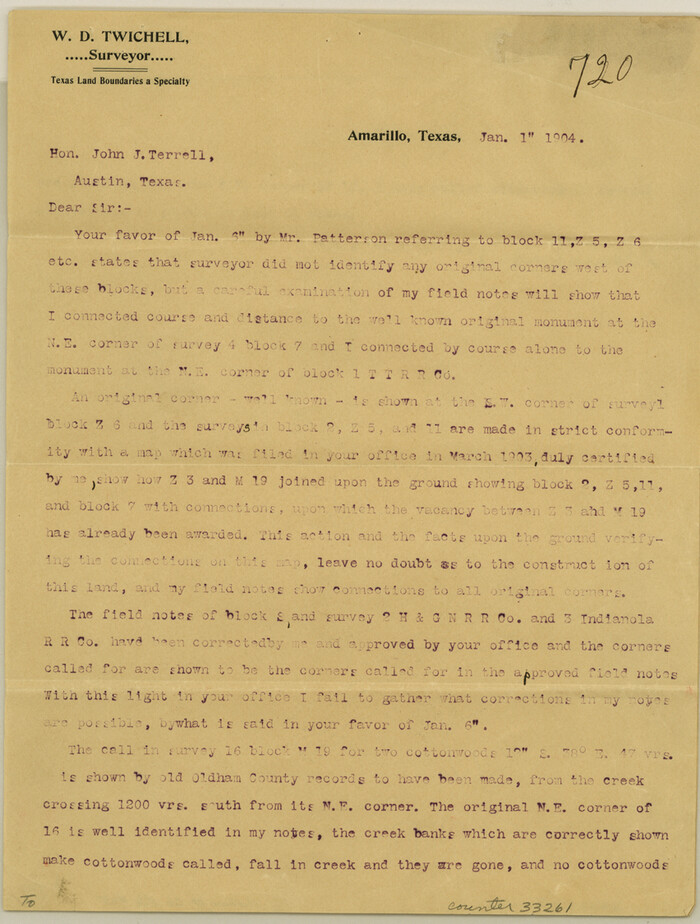
Oldham County Sketch File 15

Print $6.00
- Digital $50.00
Oldham County Sketch File 15
1904
Size 11.2 x 8.5 inches
Map/Doc 33261
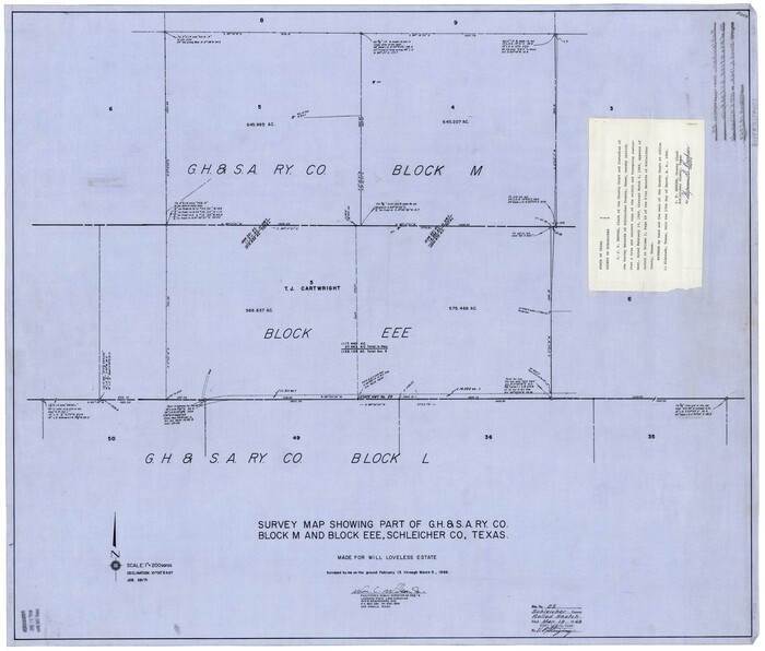
Schleicher County Rolled Sketch 25

Print $20.00
- Digital $50.00
Schleicher County Rolled Sketch 25
1969
Size 32.3 x 37.9 inches
Map/Doc 9908
Map of Part of Texas Prison System, Blue Ridge State Farm, Fort Bend and Harris Counties


Print $20.00
- Digital $50.00
Map of Part of Texas Prison System, Blue Ridge State Farm, Fort Bend and Harris Counties
Size 24.1 x 26.3 inches
Map/Doc 62981
Hardin County Working Sketch 35
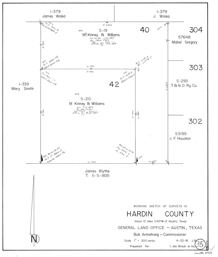

Print $20.00
- Digital $50.00
Hardin County Working Sketch 35
1981
Size 17.2 x 14.6 inches
Map/Doc 63433
You may also like
Brady's Glimpses of Texas with maps

Print $216.00
- Digital $50.00
Brady's Glimpses of Texas with maps
1871
Size 7.5 x 4.9 inches
Map/Doc 93918
Smith County Rolled Sketch 6A3


Print $40.00
- Digital $50.00
Smith County Rolled Sketch 6A3
1990
Size 48.6 x 36.8 inches
Map/Doc 10698
Flight Mission No. CRK-7P, Frame 131, Refugio County

Print $20.00
- Digital $50.00
Flight Mission No. CRK-7P, Frame 131, Refugio County
1956
Size 18.3 x 22.1 inches
Map/Doc 86954
Bosque County Sketch File 21
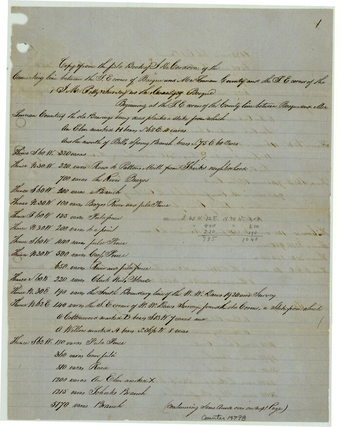

Print $12.00
- Digital $50.00
Bosque County Sketch File 21
1863
Size 10.9 x 8.7 inches
Map/Doc 14798
Titus County Sketch File 13


Print $6.00
- Digital $50.00
Titus County Sketch File 13
1929
Size 9.0 x 8.8 inches
Map/Doc 38154
Old Miscellaneous File 21
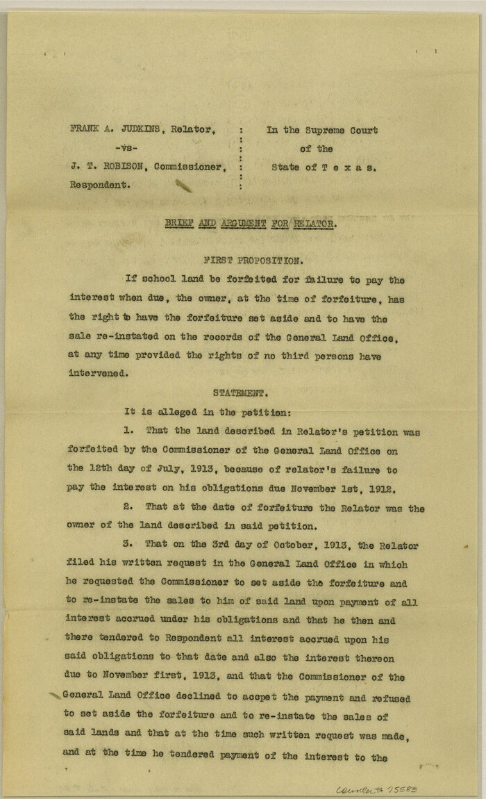

Print $16.00
- Digital $50.00
Old Miscellaneous File 21
Size 14.3 x 8.7 inches
Map/Doc 75583
Brewster County Working Sketch 36


Print $20.00
- Digital $50.00
Brewster County Working Sketch 36
1944
Size 22.7 x 42.3 inches
Map/Doc 67570
Flight Mission No. BRE-1P, Frame 26, Nueces County
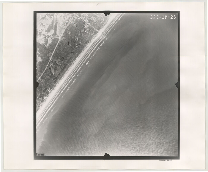

Print $20.00
- Digital $50.00
Flight Mission No. BRE-1P, Frame 26, Nueces County
1956
Size 18.6 x 22.5 inches
Map/Doc 86621
Burleson County


Print $20.00
- Digital $50.00
Burleson County
1920
Size 40.7 x 45.2 inches
Map/Doc 66740
[Surveys in Vehlein's Colony along Long King's Creek]
![83, [Surveys in Vehlein's Colony along Long King's Creek], General Map Collection](https://historictexasmaps.com/wmedia_w700/maps/83.tif.jpg)
![83, [Surveys in Vehlein's Colony along Long King's Creek], General Map Collection](https://historictexasmaps.com/wmedia_w700/maps/83.tif.jpg)
Print $20.00
- Digital $50.00
[Surveys in Vehlein's Colony along Long King's Creek]
Size 13.3 x 19.0 inches
Map/Doc 83
Pecos County Rolled Sketch 20
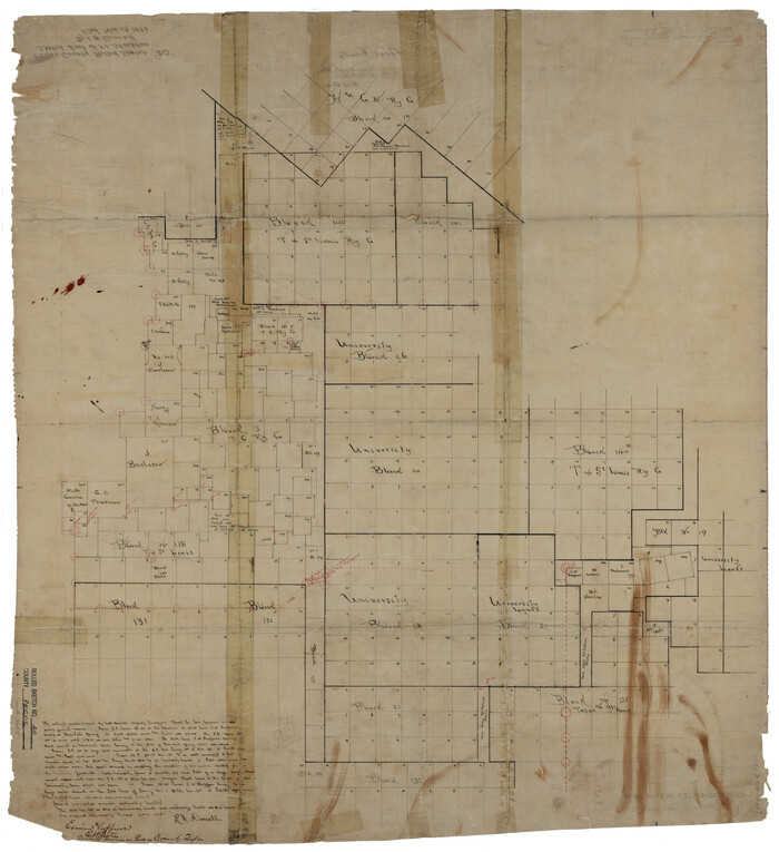

Print $20.00
- Digital $50.00
Pecos County Rolled Sketch 20
Size 31.8 x 29.1 inches
Map/Doc 9685
Section 148 Block G Abstract 1639 Cert. 57 Gaines County
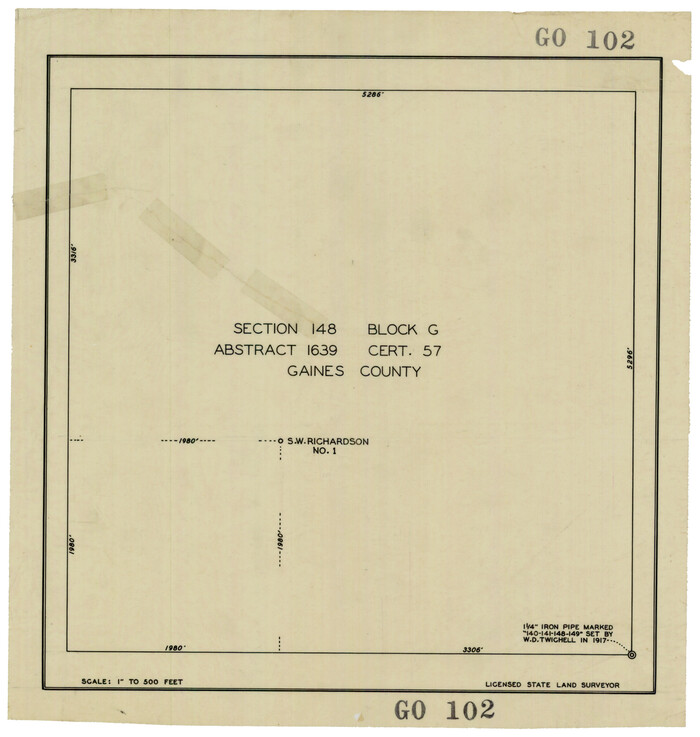

Print $20.00
- Digital $50.00
Section 148 Block G Abstract 1639 Cert. 57 Gaines County
Size 13.0 x 13.7 inches
Map/Doc 93228
![60285, [William Steele Survey near Copano Bay], General Map Collection](https://historictexasmaps.com/wmedia_w1800h1800/maps/60285-1.tif.jpg)