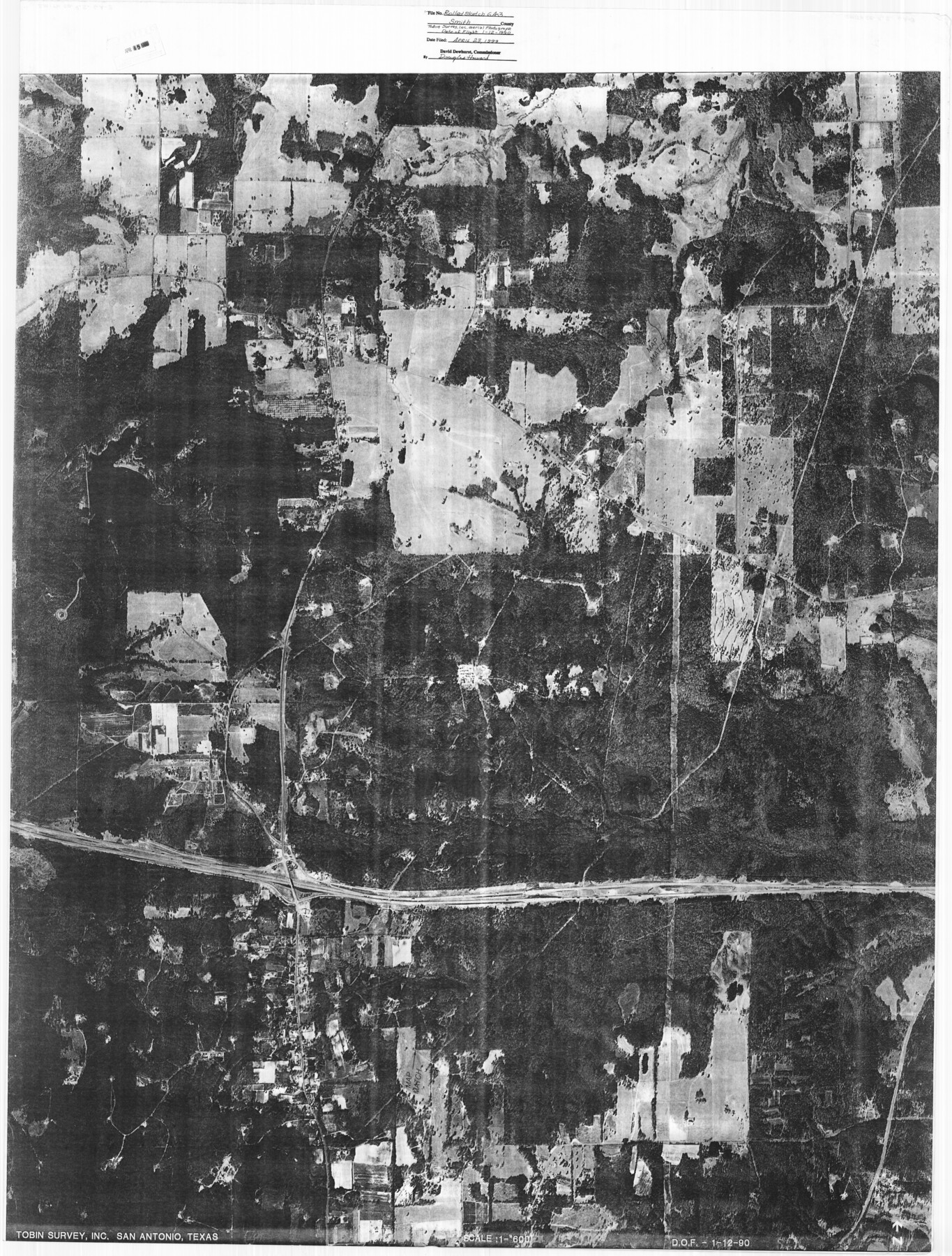
Smith County Rolled Sketch 6A3
[Tobin aerial photograph of location of various surveys adjacent to the east line and a portion of the north and south lines of what is referred to as the Frost Thorn four leagues]
-
Map/Doc
10698
-
Collection
General Map Collection
-
Object Dates
1999/4/23 (File Date)
1990/1/12 (Creation Date)
-
Counties
Smith
-
Subjects
Aerial Photograph Surveying Rolled Sketch
-
Height x Width
48.6 x 36.8 inches
123.4 x 93.5 cm
-
Medium
photograph
-
Comments
See Smith County Rolled Sketch 6 (10699) and Smith County Rolled Sketch 6A1 (10704) for related plats and see Smith County Rolled Sketch 6A2 (10702) for another aerial photo.
Related maps
Smith County Rolled Sketch 6

Print $20.00
- Digital $50.00
Smith County Rolled Sketch 6
1999
Size 43.3 x 30.0 inches
Map/Doc 10699
Smith County Rolled Sketch 6A2

Print $40.00
- Digital $50.00
Smith County Rolled Sketch 6A2
1934
Size 48.7 x 36.7 inches
Map/Doc 10702
Smith County Rolled Sketch 6A1

Print $40.00
- Digital $50.00
Smith County Rolled Sketch 6A1
Size 49.2 x 38.6 inches
Map/Doc 10704
Part of: General Map Collection
Frio County Rolled Sketch 26

Print $20.00
- Digital $50.00
Frio County Rolled Sketch 26
1994
Size 28.1 x 38.9 inches
Map/Doc 5926
Hardeman County Sketch File 9

Print $20.00
- Digital $50.00
Hardeman County Sketch File 9
1884
Size 27.7 x 30.1 inches
Map/Doc 11624
Chart of the Rio Bravo del Norte traced from a survey made by Henry Austin by Lieut. Bowman, 3d. Infy.

Print $20.00
- Digital $50.00
Chart of the Rio Bravo del Norte traced from a survey made by Henry Austin by Lieut. Bowman, 3d. Infy.
1866
Size 18.3 x 27.8 inches
Map/Doc 72889
Goliad County Sketch File 6

Print $2.00
- Digital $50.00
Goliad County Sketch File 6
1857
Size 8.8 x 4.9 inches
Map/Doc 24220

Foard County Sketch File 17

Print $12.00
- Digital $50.00
Foard County Sketch File 17
1882
Size 14.2 x 8.8 inches
Map/Doc 22828
Trinity River, Kaufman Sheet/Kings Creek

Print $6.00
- Digital $50.00
Trinity River, Kaufman Sheet/Kings Creek
1930
Size 32.6 x 27.0 inches
Map/Doc 65228
Orange County Rolled Sketch 30

Print $20.00
- Digital $50.00
Orange County Rolled Sketch 30
1960
Size 32.4 x 34.9 inches
Map/Doc 9650
Reeves County Working Sketch 60

Print $20.00
- Digital $50.00
Reeves County Working Sketch 60
1981
Size 24.7 x 36.3 inches
Map/Doc 63503
Map of Goliad County Texas

Print $20.00
- Digital $50.00
Map of Goliad County Texas
1879
Size 19.2 x 21.3 inches
Map/Doc 4547
Stonewall County Rolled Sketch 7

Print $20.00
- Digital $50.00
Stonewall County Rolled Sketch 7
1890
Size 16.6 x 37.9 inches
Map/Doc 7864
Cherokee County Sketch File 20

Print $4.00
- Digital $50.00
Cherokee County Sketch File 20
1876
Size 8.2 x 6.0 inches
Map/Doc 18163
You may also like
Padre Island National Seashore

Print $4.00
- Digital $50.00
Padre Island National Seashore
Size 16.0 x 22.3 inches
Map/Doc 60532
Flight Mission No. CUG-1P, Frame 163, Kleberg County

Print $20.00
- Digital $50.00
Flight Mission No. CUG-1P, Frame 163, Kleberg County
1956
Size 18.6 x 22.2 inches
Map/Doc 86170
Eastland County Boundary File 26

Print $24.00
- Digital $50.00
Eastland County Boundary File 26
Size 7.8 x 3.5 inches
Map/Doc 52801
Liberty County Working Sketch 80

Print $20.00
- Digital $50.00
Liberty County Working Sketch 80
1981
Size 34.6 x 41.7 inches
Map/Doc 70540
[Neches River Bed, Plat and Calculations]
![2466, [Neches River Bed, Plat and Calculations], General Map Collection](https://historictexasmaps.com/wmedia_w700/maps/2466-GC.tif.jpg)
Print $40.00
- Digital $50.00
[Neches River Bed, Plat and Calculations]
1928
Size 27.3 x 51.0 inches
Map/Doc 2466
General Highway Map, Randall County, Texas

Print $20.00
General Highway Map, Randall County, Texas
1940
Size 18.3 x 25.0 inches
Map/Doc 79224
Clay County Sketch File 4

Print $22.00
- Digital $50.00
Clay County Sketch File 4
1854
Size 5.0 x 7.5 inches
Map/Doc 18392
San Patricio County Rolled Sketch 29B

Print $20.00
- Digital $50.00
San Patricio County Rolled Sketch 29B
1936
Size 25.8 x 31.0 inches
Map/Doc 7582
Flight Mission No. DQO-6K, Frame 34, Galveston County

Print $20.00
- Digital $50.00
Flight Mission No. DQO-6K, Frame 34, Galveston County
1952
Size 18.7 x 22.4 inches
Map/Doc 85100
Matagorda County Sketch File 27

Print $60.00
- Digital $50.00
Matagorda County Sketch File 27
1908
Size 11.8 x 15.7 inches
Map/Doc 30803
Brazos River Conservation and Reclamation District Official Boundary Line Survey, Parmer County

Print $20.00
- Digital $50.00
Brazos River Conservation and Reclamation District Official Boundary Line Survey, Parmer County
Size 24.9 x 36.9 inches
Map/Doc 91599
Flight Mission No. DIX-6P, Frame 190, Aransas County

Print $20.00
- Digital $50.00
Flight Mission No. DIX-6P, Frame 190, Aransas County
1956
Size 18.8 x 22.7 inches
Map/Doc 83852