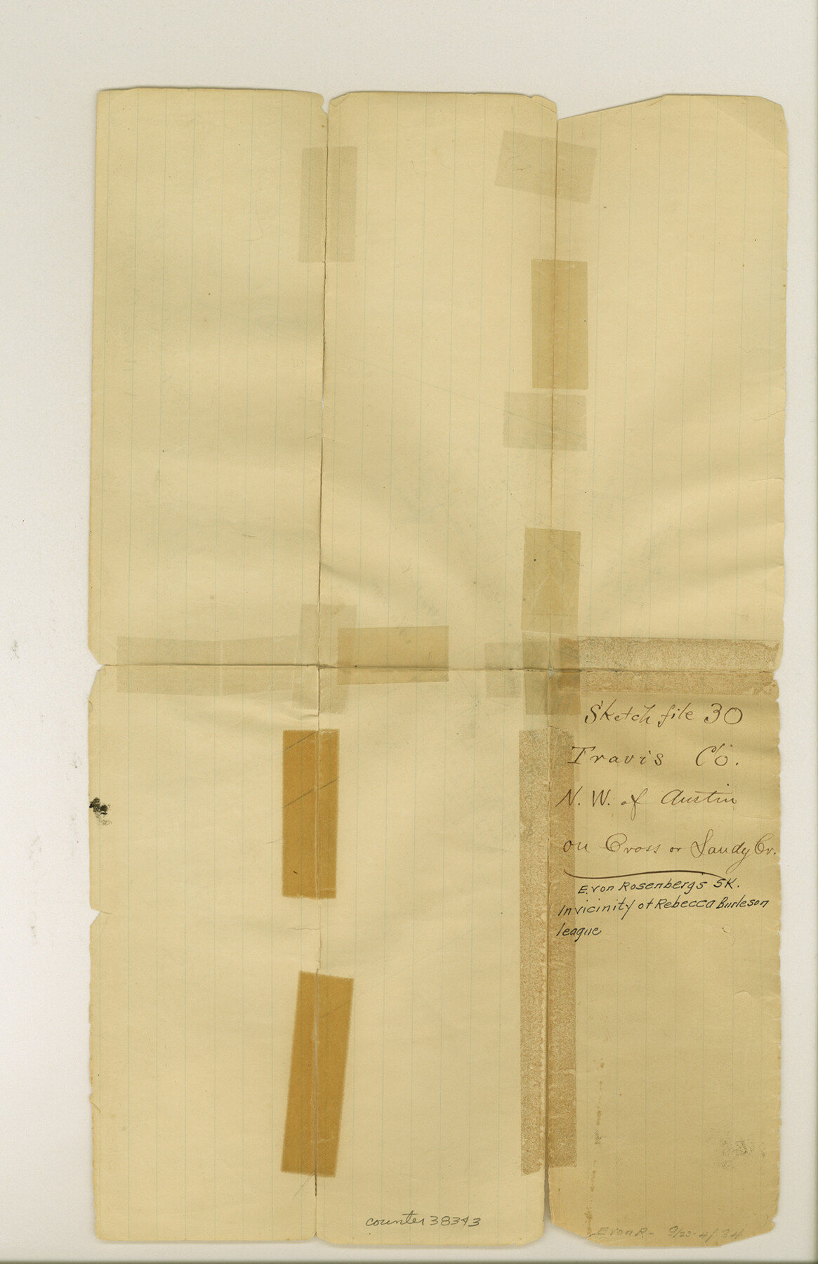
Travis County Sketch File 30
[Office sketch in the vicinity of the Martha Morrow survey in the northwest corner of the county]
-
Map/Doc
38343
-
Collection
General Map Collection
-
Object Dates
9/24/1884 (Creation Date)
-
People and Organizations
E. von Rosenberg (Draftsman)
-
Counties
Travis Williamson
-
Subjects
Surveying Sketch File
-
Height x Width
17.0 x 11.0 inches
43.2 x 27.9 cm
-
Medium
paper, manuscript
-
Features
Cross Creek
Sandy Creek
Part of: General Map Collection
La Salle County Working Sketch 46

Print $20.00
- Digital $50.00
La Salle County Working Sketch 46
1981
Size 15.9 x 20.2 inches
Map/Doc 70347
Martin County Sketch File 4

Print $20.00
- Digital $50.00
Martin County Sketch File 4
Size 26.9 x 19.8 inches
Map/Doc 12027
Haskell County Sketch File 24

Print $20.00
- Digital $50.00
Haskell County Sketch File 24
Size 17.8 x 28.5 inches
Map/Doc 11747
Texas, Aransas Bay, Copano Bay and St. Charles Bay

Print $40.00
- Digital $50.00
Texas, Aransas Bay, Copano Bay and St. Charles Bay
1934
Size 34.0 x 48.6 inches
Map/Doc 73434
Oldham County Rolled Sketch 7

Print $20.00
- Digital $50.00
Oldham County Rolled Sketch 7
Size 36.2 x 27.5 inches
Map/Doc 7173
Roberts County Boundary File 2d

Print $20.00
- Digital $50.00
Roberts County Boundary File 2d
Size 9.1 x 28.1 inches
Map/Doc 58366
Uvalde County Rolled Sketch B

Print $20.00
- Digital $50.00
Uvalde County Rolled Sketch B
1847
Size 28.8 x 22.4 inches
Map/Doc 8105
Dickens County Working Sketch 4

Print $20.00
- Digital $50.00
Dickens County Working Sketch 4
1914
Size 27.9 x 18.8 inches
Map/Doc 68651
Bastrop County Working Sketch 12

Print $40.00
- Digital $50.00
Bastrop County Working Sketch 12
1978
Size 44.1 x 54.3 inches
Map/Doc 67312
Kerr County Sketch File 10

Print $6.00
- Digital $50.00
Kerr County Sketch File 10
Size 13.9 x 10.6 inches
Map/Doc 28877
Erath County Working Sketch 41

Print $20.00
- Digital $50.00
Erath County Working Sketch 41
Size 25.5 x 29.0 inches
Map/Doc 69122
Maverick County Rolled Sketch 24

Print $20.00
- Digital $50.00
Maverick County Rolled Sketch 24
1975
Size 31.4 x 30.7 inches
Map/Doc 6715
You may also like
General Highway Map, Stephens County, Texas

Print $20.00
General Highway Map, Stephens County, Texas
1961
Size 25.0 x 18.2 inches
Map/Doc 79660
Harris County Boundary File 39 (21)

Print $6.00
- Digital $50.00
Harris County Boundary File 39 (21)
Size 10.2 x 8.1 inches
Map/Doc 54365
Map of San Jacinto County, Texas

Print $20.00
- Digital $50.00
Map of San Jacinto County, Texas
1882
Size 29.7 x 22.8 inches
Map/Doc 610
Harris County NRC Article 33.136 Sketch 6

Print $21.00
- Digital $50.00
Harris County NRC Article 33.136 Sketch 6
2003
Size 23.1 x 34.8 inches
Map/Doc 78664
Colorado County Rolled Sketch 3

Print $20.00
- Digital $50.00
Colorado County Rolled Sketch 3
1943
Size 42.4 x 38.7 inches
Map/Doc 8641
Crockett County Working Sketch 26

Print $20.00
- Digital $50.00
Crockett County Working Sketch 26
1922
Size 15.3 x 20.3 inches
Map/Doc 68359

Index for Texas Railroad ROW & track maps available on microfilm at THD & Archives and Records

Print $2.00
- Digital $50.00
Index for Texas Railroad ROW & track maps available on microfilm at THD & Archives and Records
1977
Size 11.3 x 8.8 inches
Map/Doc 60760
Sketch of Colorado Co. presented by Mr. Mason

Print $2.00
- Digital $50.00
Sketch of Colorado Co. presented by Mr. Mason
1845
Size 14.3 x 8.2 inches
Map/Doc 69736
Menard County Working Sketch 34

Print $20.00
- Digital $50.00
Menard County Working Sketch 34
2003
Size 27.1 x 44.4 inches
Map/Doc 82028
Runnels County Rolled Sketch 33

Print $20.00
- Digital $50.00
Runnels County Rolled Sketch 33
Size 22.5 x 43.5 inches
Map/Doc 7520
The Mexican Municipality of Washington. Proposed Creation, ca Spring 1835

Print $20.00
The Mexican Municipality of Washington. Proposed Creation, ca Spring 1835
2020
Size 13.1 x 21.7 inches
Map/Doc 96035