234 results

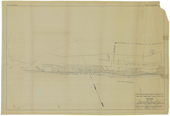
Port Aransas-Corpus Christi Waterway, Texas, Avery Point Turning Basin to Vicinity of Tule Lake - Dredging
1996.tif
Print $20.00 - Digital $50.00

Port Aransas-Corpus Christi Waterway, Texas, Avery Point Turning Basin to Vicinity of Tule Lake - Dredging

1947

Size: 28.6 x 41.8 inches
1996
Map of Matagorda Bay and County with the Adjacent Country
2002.tif
Print $20.00 - Digital $50.00

Map of Matagorda Bay and County with the Adjacent Country

1839
Size: 33.4 x 42.6 inches
2002
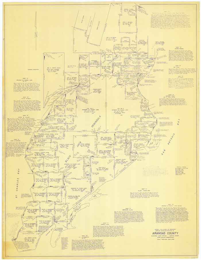
[Aransas Wildlife Refuge]
2081.tif
Print $40.00 - Digital $50.00

[Aransas Wildlife Refuge]

1965

Size: 55.6 x 42.9 inches
2081
[William Steele Survey near Copano Bay]
2082.tif
Print $20.00 - Digital $50.00

[William Steele Survey near Copano Bay]

1927
Size: 26.1 x 18.4 inches
2082
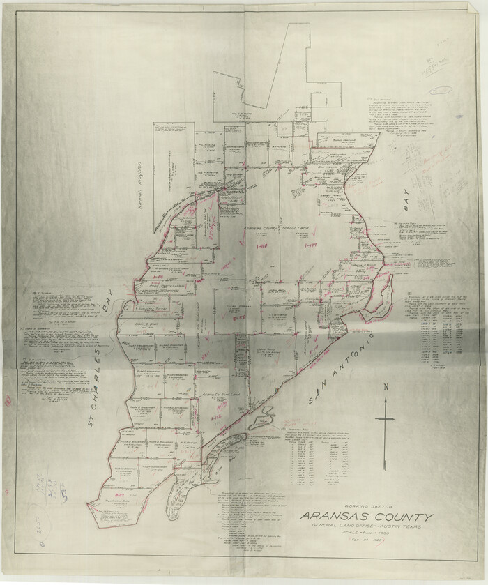
[Aransas County, Texas]
2083.tif
Print $20.00 - Digital $50.00

[Aransas County, Texas]

1928

Size: 37.5 x 31.3 inches
2083
[Affadavit regarding boundary lines between the several coastal counties from coastline to Continental Shelf]
2089.tif
Print $20.00 - Digital $50.00

[Affadavit regarding boundary lines between the several coastal counties from coastline to Continental Shelf]

1947
Size: 18.1 x 12.7 inches
2089
Aransas Migratory Waterfowl Refuge in Aransas and Refugio Counties
2693.tif
Print $20.00 - Digital $50.00

Aransas Migratory Waterfowl Refuge in Aransas and Refugio Counties

1937
Size: 40.3 x 31.0 inches
2693
Map of a part of Laguna Madre showing subdivision for mineral development
2913.tif
Print $20.00 - Digital $50.00

Map of a part of Laguna Madre showing subdivision for mineral development

1948

Size: 42.9 x 31.0 inches
2913
Map of a part of Laguna Madre showing subdivision for mineral development
2914.tif
Print $20.00 - Digital $50.00

Map of a part of Laguna Madre showing subdivision for mineral development

1948

Size: 37.4 x 27.7 inches
2914
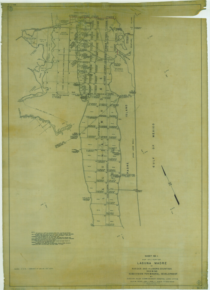
Map of a part of Laguna Madre showing subdivision for mineral development
2915.tif
Print $40.00 - Digital $50.00

Map of a part of Laguna Madre showing subdivision for mineral development

1946
Size: 50.0 x 29.0 inches
2915
Map of a part of Laguna Madre showing subdivision for mineral development
2916.tif
Print $40.00 - Digital $50.00

Map of a part of Laguna Madre showing subdivision for mineral development

1963

Size: 68.1 x 46.0 inches
2916
Map of a part of Laguna Madre showing subdivision for mineral development
2917.tif
Print $20.00 - Digital $50.00

Map of a part of Laguna Madre showing subdivision for mineral development

1950

Size: 40.7 x 26.9 inches
2917
Aerial Perspective of Packery Channel
3001.tif
Print $20.00 - Digital $50.00

Aerial Perspective of Packery Channel

1938
Size: 16.5 x 19.3 inches
3001
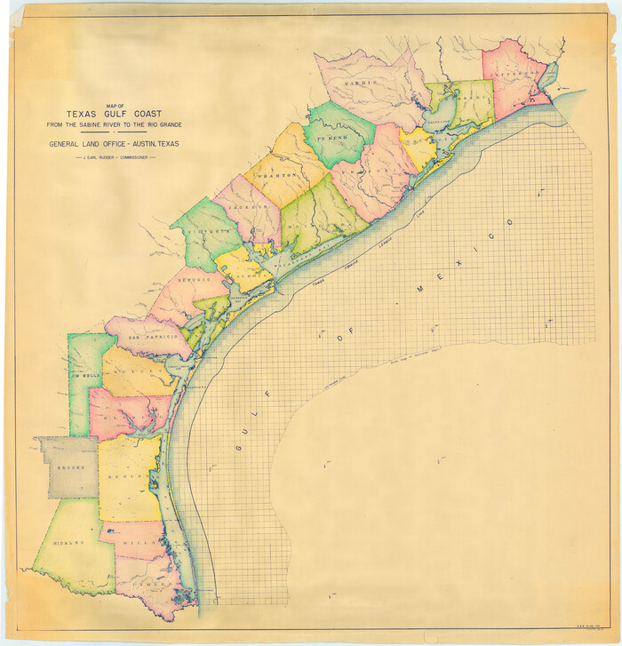
Colored Map of Texas Gulf Coast from Sabine River to the Rio Grande
3014-GC.tif
Print $20.00 - Digital $50.00

Colored Map of Texas Gulf Coast from Sabine River to the Rio Grande

1950
Size: 44.7 x 43.0 inches
3014
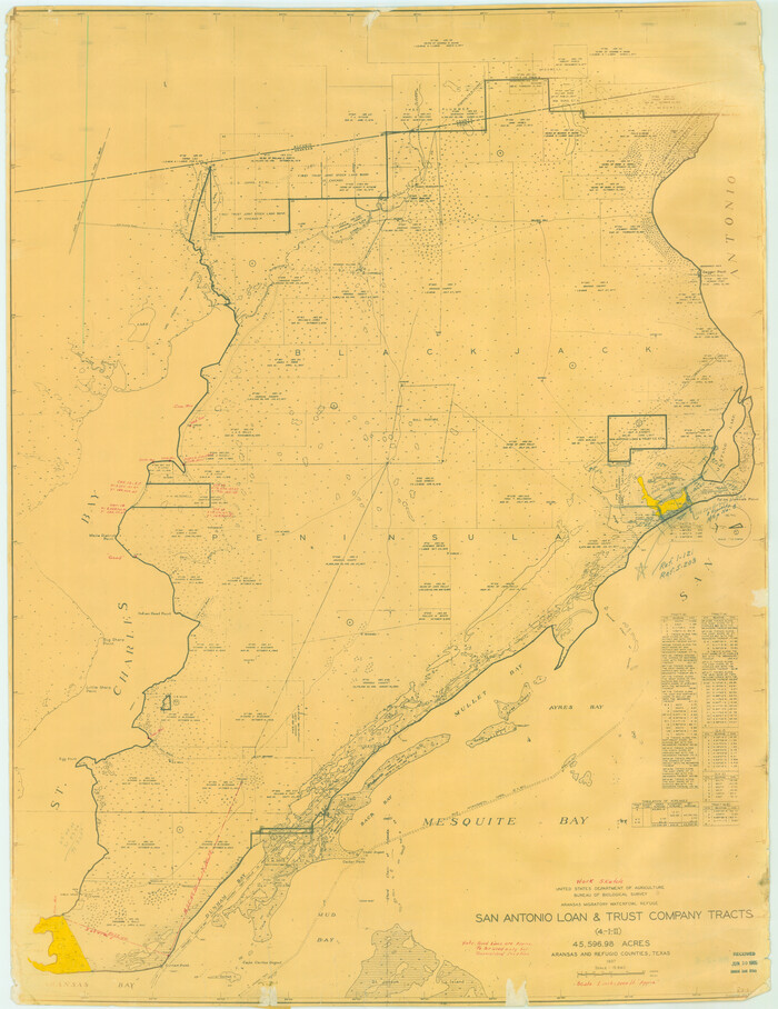
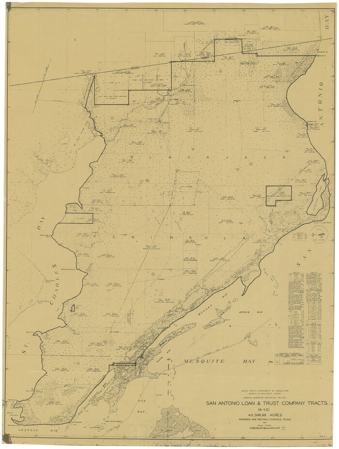
Aransas Migratory Waterfowl Refuge, San Antonio Loan & Trust Company Tracts, 45,596.98 acres, Aransas and Refugio Counties
3073.tif
Print $20.00 - Digital $50.00

Aransas Migratory Waterfowl Refuge, San Antonio Loan & Trust Company Tracts, 45,596.98 acres, Aransas and Refugio Counties

1937

Size: 41.1 x 30.8 inches
3073
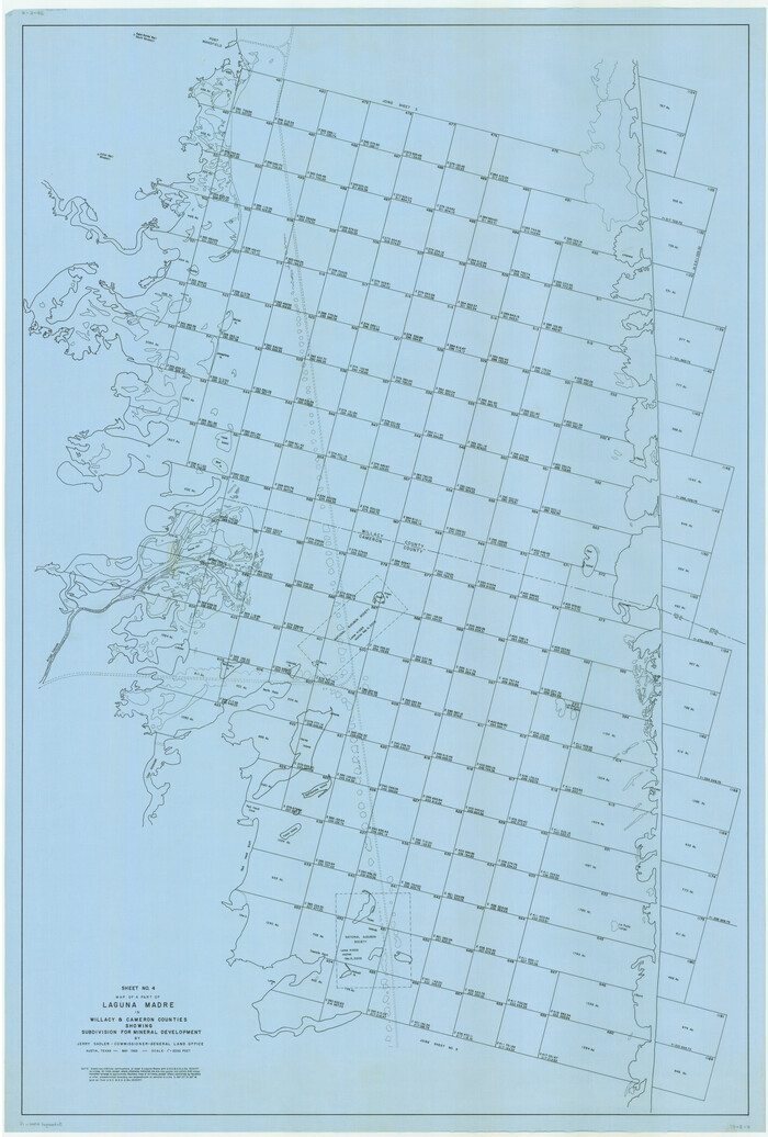
Map of a part of Laguna Madre in Willacy & Cameron Counties showing subdivision for mineral development
3097.tif
Print $20.00 - Digital $50.00

Map of a part of Laguna Madre in Willacy & Cameron Counties showing subdivision for mineral development

1950

Size: 46.9 x 37.0 inches
3097
[Sketch of Oyster Bay, Bastrop Bay, Chocolate Bay, and West Bay]
3103.tif
Print $20.00 - Digital $50.00

[Sketch of Oyster Bay, Bastrop Bay, Chocolate Bay, and West Bay]

1871

Size: 6.0 x 23.9 inches
3103
Map of Texas coastal area showing submerged area to which counties along the Gulf of Mexico are entitled
3105.tif
Print $20.00 - Digital $50.00

Map of Texas coastal area showing submerged area to which counties along the Gulf of Mexico are entitled

1939

Size: 28.3 x 44.2 inches
3105
Topography and water depth as shown by the U.S. Coast Survey of 1888
0390.tif
Print $20.00 - Digital $50.00

Topography and water depth as shown by the U.S. Coast Survey of 1888

1890

Size: 17.0 x 18.8 inches
390
Sketch of a part of Galveston Island
0430-1.tif
Print $3.00 - Digital $50.00

Sketch of a part of Galveston Island

Size: 10.8 x 13.8 inches
430
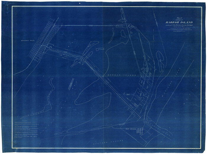
Map of Surveys on Harbor Island
0594-1.tif
Print $40.00 - Digital $50.00

Map of Surveys on Harbor Island

1912

Size: 57.3 x 42.2 inches
594
[William Steele Survey near Copano Bay]
60284.tif
Print $3.00 - Digital $50.00

[William Steele Survey near Copano Bay]

1927
Size: 15.5 x 9.5 inches
60284
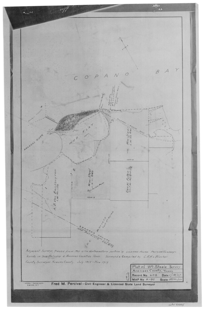
[William Steele Survey near Copano Bay]
60285.tif
Print $3.00 - Digital $50.00

[William Steele Survey near Copano Bay]

1927
Size: 14.9 x 9.8 inches
60285
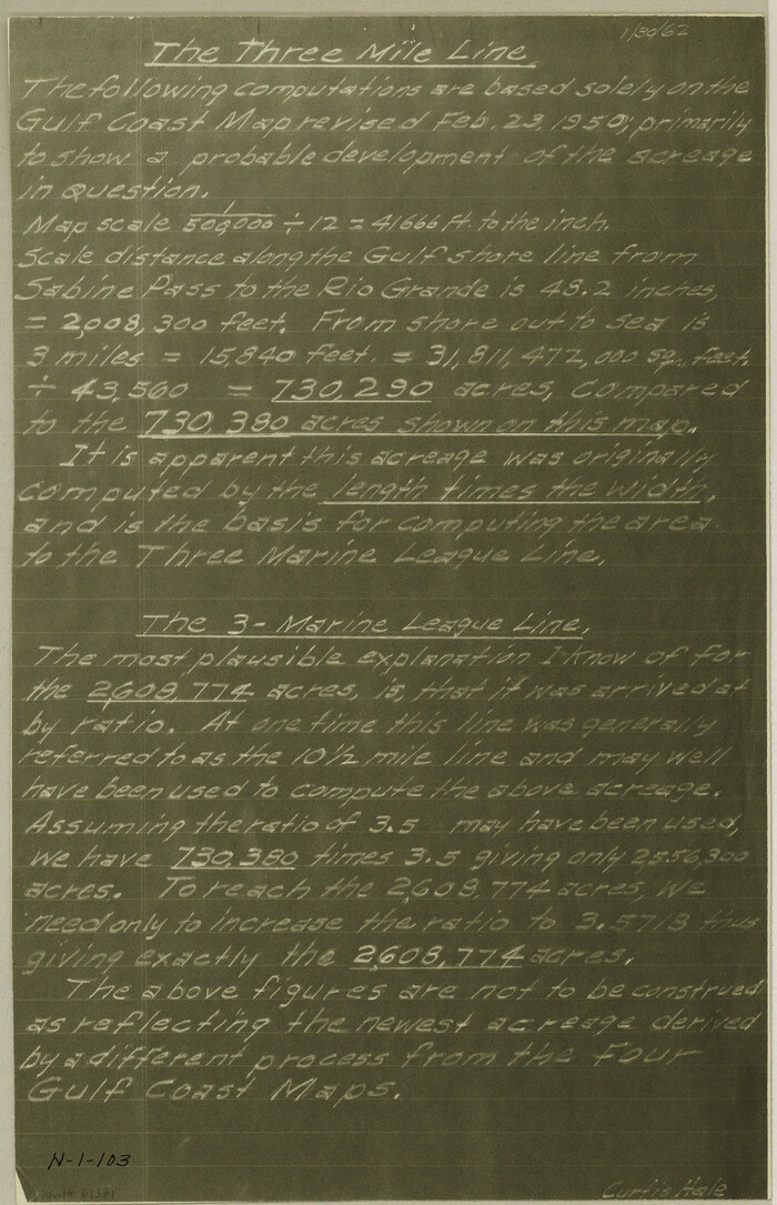
[Three-Marine League line stipulation as determined by US Supreme Court, October 1968 term; corrections to stipulation; Texas GLO approximations of county areas embraced by county boundaries, shoreline and 3-marine league line and 3-mile line]
Print $64.00

[Three-Marine League line stipulation as determined by US Supreme Court, October 1968 term; corrections to stipulation; Texas GLO approximations of county areas embraced by county boundaries, shoreline and 3-marine league line and 3-mile line]

1962

Size: 13.4 x 8.7 inches
61371
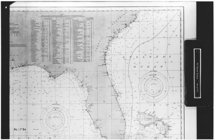
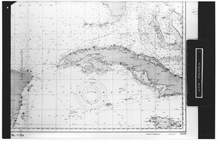
Gulf of Mexico
72647.tif
Print $20.00 - Digital $50.00

Gulf of Mexico

1900

Size: 18.2 x 28.1 inches
72647
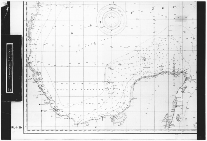
Gulf of Mexico
72648.tif
Print $20.00 - Digital $50.00

Gulf of Mexico

1900

Size: 18.2 x 28.0 inches
72648
Gulf of Mexico
72649.tif
Print $20.00 - Digital $50.00

Gulf of Mexico

1900

Size: 18.4 x 28.1 inches
72649
Gulf of Mexico
72650.tif
Print $20.00 - Digital $50.00

Gulf of Mexico

1900

Size: 18.3 x 28.1 inches
72650
Gulf of Mexico
72651.tif
Print $20.00 - Digital $50.00

Gulf of Mexico

1905

Size: 18.2 x 26.8 inches
72651
Gulf of Mexico
72652.tif
Print $20.00 - Digital $50.00

Gulf of Mexico

1905

Size: 18.3 x 26.8 inches
72652
Port Aransas-Corpus Christi Waterway, Texas, Avery Point Turning Basin to Vicinity of Tule Lake - Dredging
1996, Port Aransas-Corpus Christi Waterway, Texas, Avery Point Turning Basin to Vicinity of Tule Lake - Dredging, General Map Collection
Print $20.00 - Digital $50.00

Port Aransas-Corpus Christi Waterway, Texas, Avery Point Turning Basin to Vicinity of Tule Lake - Dredging

1947

  • Size

    28.6 x 41.8 inches

  • Map/Doc

    1996

  • Creation Date

    1947

Map of Matagorda Bay and County with the Adjacent Country
2002, Map of Matagorda Bay and County with the Adjacent Country, General Map Collection
Print $20.00 - Digital $50.00

Map of Matagorda Bay and County with the Adjacent Country

1839

  • Size

    33.4 x 42.6 inches

  • Map/Doc

    2002

  • Creation Date

    1839

[Aransas Wildlife Refuge]
2081, [Aransas Wildlife Refuge], General Map Collection
Print $40.00 - Digital $50.00

[Aransas Wildlife Refuge]

1965

  • Size

    55.6 x 42.9 inches

  • Map/Doc

    2081

  • Creation Date

    1965

[William Steele Survey near Copano Bay]
2082, [William Steele Survey near Copano Bay], General Map Collection
Print $20.00 - Digital $50.00

[William Steele Survey near Copano Bay]

1927

  • Size

    26.1 x 18.4 inches

  • Map/Doc

    2082

  • Creation Date

    1927

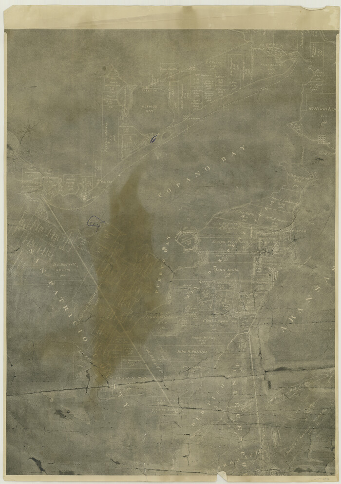
[Aransas County, Texas]
2083, [Aransas County, Texas], General Map Collection
Print $20.00 - Digital $50.00

[Aransas County, Texas]

1928

  • Size

    37.5 x 31.3 inches

  • Map/Doc

    2083

  • Creation Date

    1928

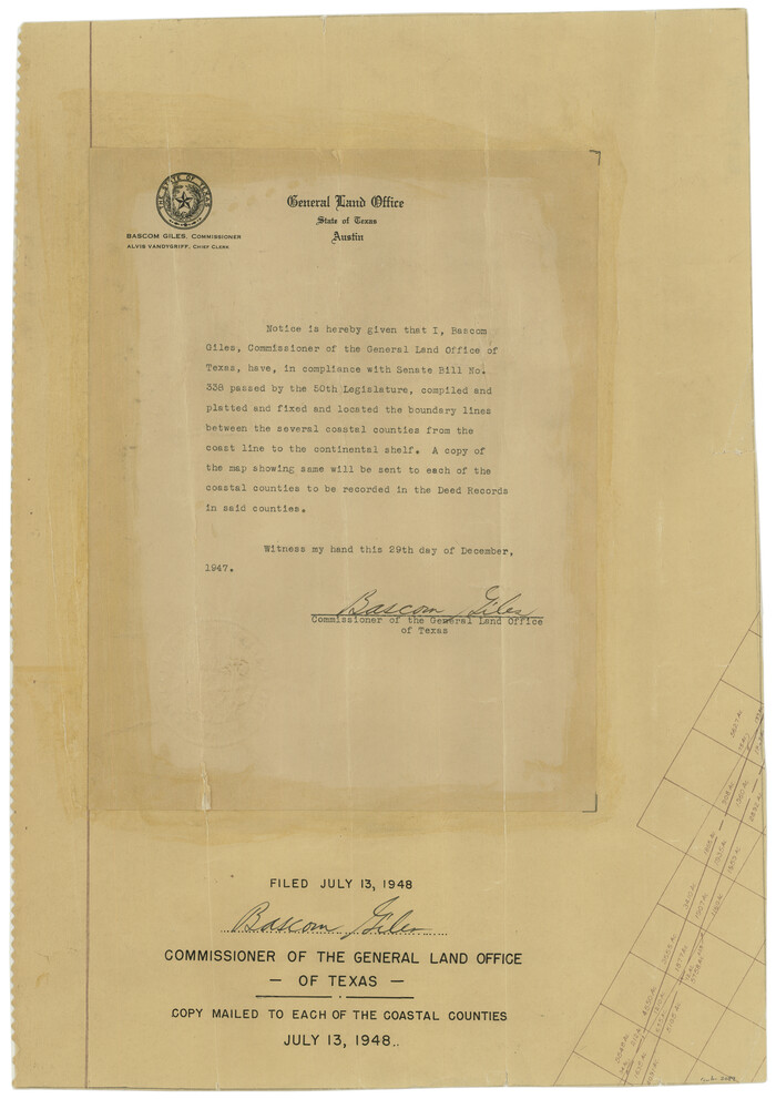
[Affadavit regarding boundary lines between the several coastal counties from coastline to Continental Shelf]
2089, [Affadavit regarding boundary lines between the several coastal counties from coastline to Continental Shelf], General Map Collection
Print $20.00 - Digital $50.00

[Affadavit regarding boundary lines between the several coastal counties from coastline to Continental Shelf]

1947

  • Size

    18.1 x 12.7 inches

  • Map/Doc

    2089

  • Creation Date

    1947

Aransas Migratory Waterfowl Refuge in Aransas and Refugio Counties
2693, Aransas Migratory Waterfowl Refuge in Aransas and Refugio Counties, General Map Collection
Print $20.00 - Digital $50.00

Aransas Migratory Waterfowl Refuge in Aransas and Refugio Counties

1937

  • Size

    40.3 x 31.0 inches

  • Map/Doc

    2693

  • Creation Date

    1937

Map of a part of Laguna Madre showing subdivision for mineral development
2913, Map of a part of Laguna Madre showing subdivision for mineral development, General Map Collection
Print $20.00 - Digital $50.00

Map of a part of Laguna Madre showing subdivision for mineral development

1948

  • Size

    42.9 x 31.0 inches

  • Map/Doc

    2913

  • Creation Date

    1948

Map of a part of Laguna Madre showing subdivision for mineral development
2914, Map of a part of Laguna Madre showing subdivision for mineral development, General Map Collection
Print $20.00 - Digital $50.00

Map of a part of Laguna Madre showing subdivision for mineral development

1948

  • Size

    37.4 x 27.7 inches

  • Map/Doc

    2914

  • Creation Date

    1948

Map of a part of Laguna Madre showing subdivision for mineral development
2915, Map of a part of Laguna Madre showing subdivision for mineral development, General Map Collection
Print $40.00 - Digital $50.00

Map of a part of Laguna Madre showing subdivision for mineral development

1946

  • Size

    50.0 x 29.0 inches

  • Map/Doc

    2915

  • Creation Date

    1946

Map of a part of Laguna Madre showing subdivision for mineral development
2916, Map of a part of Laguna Madre showing subdivision for mineral development, General Map Collection
Print $40.00 - Digital $50.00

Map of a part of Laguna Madre showing subdivision for mineral development

1963

  • Size

    68.1 x 46.0 inches

  • Map/Doc

    2916

  • Creation Date

    1963

Map of a part of Laguna Madre showing subdivision for mineral development
2917, Map of a part of Laguna Madre showing subdivision for mineral development, General Map Collection
Print $20.00 - Digital $50.00

Map of a part of Laguna Madre showing subdivision for mineral development

1950

  • Size

    40.7 x 26.9 inches

  • Map/Doc

    2917

  • Creation Date

    1950

Aerial Perspective of Packery Channel
3001, Aerial Perspective of Packery Channel, General Map Collection
Print $20.00 - Digital $50.00

Aerial Perspective of Packery Channel

1938

  • Size

    16.5 x 19.3 inches

  • Map/Doc

    3001

  • Creation Date

    1938

Colored Map of Texas Gulf Coast from Sabine River to the Rio Grande
3014, Colored Map of Texas Gulf Coast from Sabine River to the Rio Grande, General Map Collection
Print $20.00 - Digital $50.00

Colored Map of Texas Gulf Coast from Sabine River to the Rio Grande

1950

  • Size

    44.7 x 43.0 inches

  • Map/Doc

    3014

  • Creation Date

    1950

Aransas Migratory Waterfowl Refuge, San Antonio Loan & Trust Company Tracts, 45,596.98 acres, Aransas and Refugio Counties
3073, Aransas Migratory Waterfowl Refuge, San Antonio Loan & Trust Company Tracts, 45,596.98 acres, Aransas and Refugio Counties, General Map Collection
Print $20.00 - Digital $50.00

Aransas Migratory Waterfowl Refuge, San Antonio Loan & Trust Company Tracts, 45,596.98 acres, Aransas and Refugio Counties

1937

  • Size

    41.1 x 30.8 inches

  • Map/Doc

    3073

  • Creation Date

    1937

Map of a part of Laguna Madre in Willacy & Cameron Counties showing subdivision for mineral development
3097, Map of a part of Laguna Madre in Willacy & Cameron Counties showing subdivision for mineral development, General Map Collection
Print $20.00 - Digital $50.00

Map of a part of Laguna Madre in Willacy & Cameron Counties showing subdivision for mineral development

1950

  • Size

    46.9 x 37.0 inches

  • Map/Doc

    3097

  • Creation Date

    1950

[Sketch of Oyster Bay, Bastrop Bay, Chocolate Bay, and West Bay]
3103, [Sketch of Oyster Bay, Bastrop Bay, Chocolate Bay, and West Bay], General Map Collection
Print $20.00 - Digital $50.00

[Sketch of Oyster Bay, Bastrop Bay, Chocolate Bay, and West Bay]

1871

  • Size

    6.0 x 23.9 inches

  • Map/Doc

    3103

  • Creation Date

    1871

Map of Texas coastal area showing submerged area to which counties along the Gulf of Mexico are entitled
3105, Map of Texas coastal area showing submerged area to which counties along the Gulf of Mexico are entitled, General Map Collection
Print $20.00 - Digital $50.00

Map of Texas coastal area showing submerged area to which counties along the Gulf of Mexico are entitled

1939

  • Size

    28.3 x 44.2 inches

  • Map/Doc

    3105

  • Creation Date

    1939

Topography and water depth as shown by the U.S. Coast Survey of 1888
390, Topography and water depth as shown by the U.S. Coast Survey of 1888, Maddox Collection
Print $20.00 - Digital $50.00

Topography and water depth as shown by the U.S. Coast Survey of 1888

1890

  • Size

    17.0 x 18.8 inches

  • Map/Doc

    390

  • Creation Date

    1890

Sketch of a part of Galveston Island
430, Sketch of a part of Galveston Island, Maddox Collection
Print $3.00 - Digital $50.00

Sketch of a part of Galveston Island

  • Size

    10.8 x 13.8 inches

  • Map/Doc

    430

Map of Surveys on Harbor Island
594, Map of Surveys on Harbor Island, Maddox Collection
Print $40.00 - Digital $50.00

Map of Surveys on Harbor Island

1912

  • Size

    57.3 x 42.2 inches

  • Map/Doc

    594

  • Creation Date

    1912

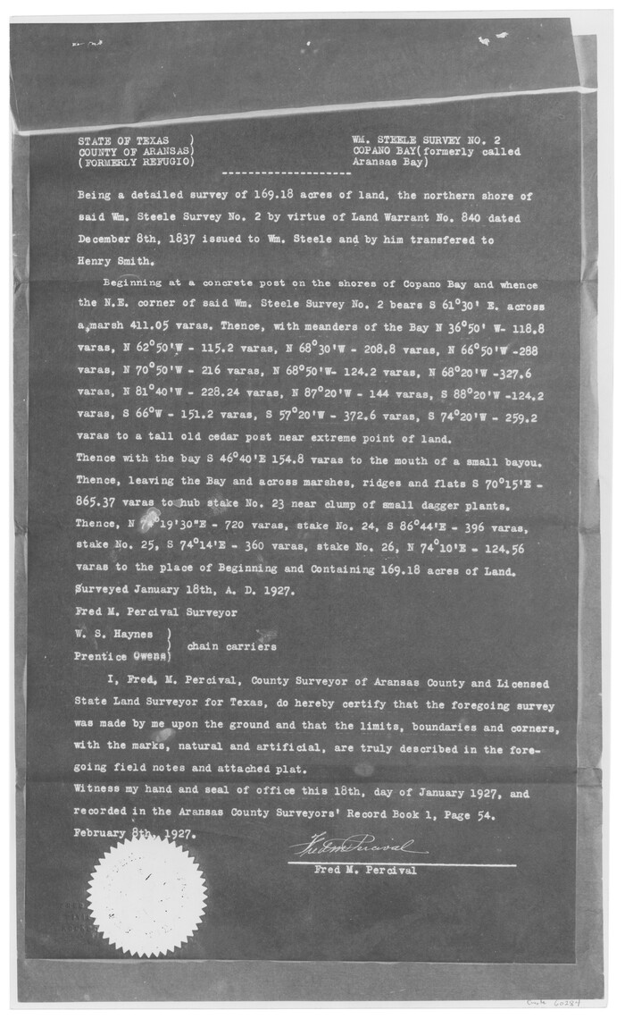
[William Steele Survey near Copano Bay]
60284, [William Steele Survey near Copano Bay], General Map Collection
Print $3.00 - Digital $50.00

[William Steele Survey near Copano Bay]

1927

  • Size

    15.5 x 9.5 inches

  • Map/Doc

    60284

  • Creation Date

    1927

[William Steele Survey near Copano Bay]
60285, [William Steele Survey near Copano Bay], General Map Collection
Print $3.00 - Digital $50.00

[William Steele Survey near Copano Bay]

1927

  • Size

    14.9 x 9.8 inches

  • Map/Doc

    60285

  • Creation Date

    1927

[Three-Marine League line stipulation as determined by US Supreme Court, October 1968 term; corrections to stipulation; Texas GLO approximations of county areas embraced by county boundaries, shoreline and 3-marine league line and 3-mile line]
Print $64.00

[Three-Marine League line stipulation as determined by US Supreme Court, October 1968 term; corrections to stipulation; Texas GLO approximations of county areas embraced by county boundaries, shoreline and 3-marine league line and 3-mile line]

1962

  • Size

    13.4 x 8.7 inches

  • Map/Doc

    61371

  • Creation Date

    1962

Gulf of Mexico
72647, Gulf of Mexico, General Map Collection
Print $20.00 - Digital $50.00

Gulf of Mexico

1900

  • Size

    18.2 x 28.1 inches

  • Map/Doc

    72647

  • Creation Date

    1900

Gulf of Mexico
72648, Gulf of Mexico, General Map Collection
Print $20.00 - Digital $50.00

Gulf of Mexico

1900

  • Size

    18.2 x 28.0 inches

  • Map/Doc

    72648

  • Creation Date

    1900

Gulf of Mexico
72649, Gulf of Mexico, General Map Collection
Print $20.00 - Digital $50.00

Gulf of Mexico

1900

  • Size

    18.4 x 28.1 inches

  • Map/Doc

    72649

  • Creation Date

    1900

Gulf of Mexico
72650, Gulf of Mexico, General Map Collection
Print $20.00 - Digital $50.00

Gulf of Mexico

1900

  • Size

    18.3 x 28.1 inches

  • Map/Doc

    72650

  • Creation Date

    1900

Gulf of Mexico
72651, Gulf of Mexico, General Map Collection
Print $20.00 - Digital $50.00

Gulf of Mexico

1905

  • Size

    18.2 x 26.8 inches

  • Map/Doc

    72651

  • Creation Date

    1905

Gulf of Mexico
72652, Gulf of Mexico, General Map Collection
Print $20.00 - Digital $50.00

Gulf of Mexico

1905

  • Size

    18.3 x 26.8 inches

  • Map/Doc

    72652

  • Creation Date

    1905