Sketch of a part of Galveston Island


Print $3.00
- Digital $50.00
Sketch of a part of Galveston Island
Size: 10.8 x 13.8 inches
430
[Texas Gulf Coast from Rio Grande to Sabine Lake]
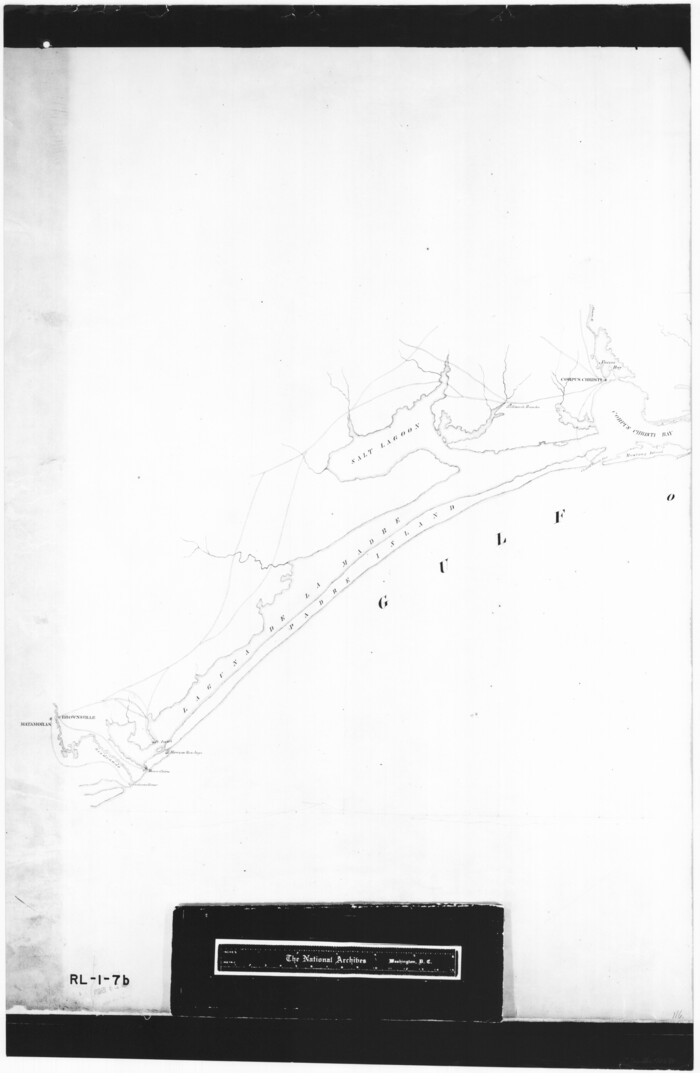

Print $20.00
- Digital $50.00
[Texas Gulf Coast from Rio Grande to Sabine Lake]
Size: 28.0 x 18.3 inches
72686
[Texas Gulf Coast from Rio Grande to Sabine Lake]
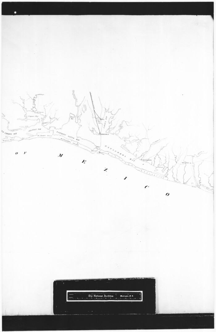

Print $20.00
- Digital $50.00
[Texas Gulf Coast from Rio Grande to Sabine Lake]
Size: 28.1 x 18.3 inches
72687
[Texas Gulf Coast from Rio Grande to Sabine Lake]
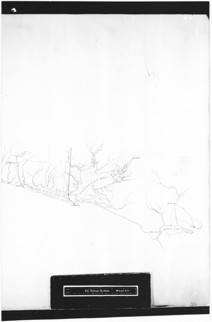

Print $20.00
- Digital $50.00
[Texas Gulf Coast from Rio Grande to Sabine Lake]
Size: 27.8 x 18.3 inches
72688
Index sheet to accompany map of survey for connecting the inland waters along margin of the Gulf of Mexico from Donaldsonville in Louisiana to the Rio Grande River in Texas
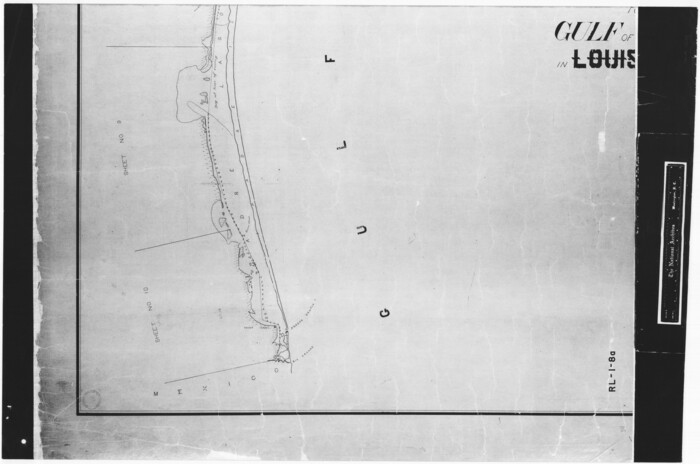

Print $20.00
- Digital $50.00
Index sheet to accompany map of survey for connecting the inland waters along margin of the Gulf of Mexico from Donaldsonville in Louisiana to the Rio Grande River in Texas
Size: 18.3 x 27.6 inches
72689
Index sheet to accompany map of survey for connecting the inland waters along margin of the Gulf of Mexico from Donaldsonville in Louisiana to the Rio Grande River in Texas


Print $20.00
- Digital $50.00
Index sheet to accompany map of survey for connecting the inland waters along margin of the Gulf of Mexico from Donaldsonville in Louisiana to the Rio Grande River in Texas
Size: 18.2 x 27.4 inches
72690
Index sheet to accompany map of survey for connecting the inland waters along margin of the Gulf of Mexico from Donaldsonville in Louisiana to the Rio Grande River in Texas


Print $20.00
- Digital $50.00
Index sheet to accompany map of survey for connecting the inland waters along margin of the Gulf of Mexico from Donaldsonville in Louisiana to the Rio Grande River in Texas
Size: 18.2 x 27.5 inches
72691
Texas Coast, No. 17


Print $20.00
- Digital $50.00
Texas Coast, No. 17
Size: 18.3 x 27.6 inches
72712
Texas Coast, No. 17
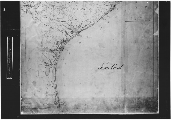

Print $20.00
- Digital $50.00
Texas Coast, No. 17
Size: 18.3 x 26.1 inches
72713
Map of north end of Brazos Island


Print $20.00
- Digital $50.00
Map of north end of Brazos Island
Size: 27.5 x 18.4 inches
72905
Map of north end of Brazos Island
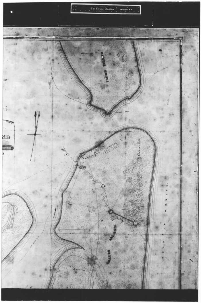

Print $20.00
- Digital $50.00
Map of north end of Brazos Island
Size: 27.5 x 18.3 inches
72906
Map of north end of Brazos Island


Print $20.00
- Digital $50.00
Map of north end of Brazos Island
Size: 27.7 x 18.3 inches
72907
Map of north end of Brazos Island


Print $20.00
- Digital $50.00
Map of north end of Brazos Island
Size: 27.6 x 18.2 inches
72908
North end of Brazos Island


Print $20.00
- Digital $50.00
North end of Brazos Island
Size: 26.0 x 18.3 inches
72915
North end of Brazos Island


Print $20.00
- Digital $50.00
North end of Brazos Island
Size: 26.0 x 18.2 inches
72916
North end of Brazos Island


Print $20.00
- Digital $50.00
North end of Brazos Island
Size: 25.9 x 18.2 inches
72917
Map showing the environs of Brazos Island, Texas


Print $20.00
- Digital $50.00
Map showing the environs of Brazos Island, Texas
Size: 18.2 x 25.0 inches
72925
Map showing the environs of Brazos Island, Texas


Print $20.00
- Digital $50.00
Map showing the environs of Brazos Island, Texas
Size: 18.1 x 25.0 inches
72926
Sketch showing progress of topographical work Laguna Madre and vicinity from Rainey Is. to Baffins Bay, Coast of Texas Sect. IX [and accompanying letter]
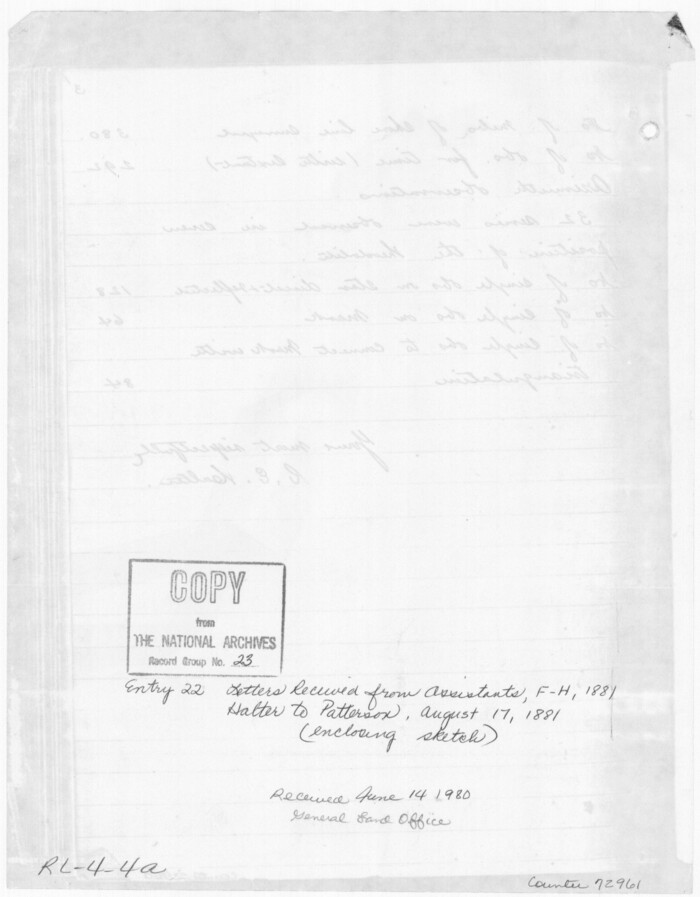

Print $2.00
- Digital $50.00
Sketch showing progress of topographical work Laguna Madre and vicinity from Rainey Is. to Baffins Bay, Coast of Texas Sect. IX [and accompanying letter]
Size: 11.1 x 8.7 inches
72961
Sketch of coast of Texas, Laguna Madre from Pt. of Rocks to Corpus Christi [and accompanying letter]
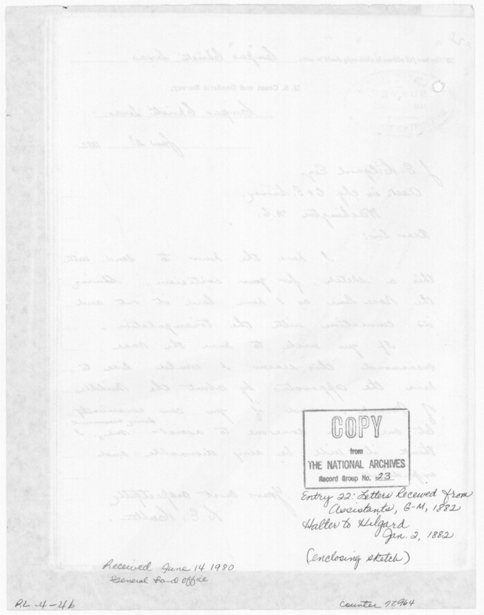

Print $2.00
- Digital $50.00
Sketch of coast of Texas, Laguna Madre from Pt. of Rocks to Corpus Christi [and accompanying letter]
Size: 11.2 x 8.8 inches
72964
No. IX - Outline map of the vicinity of Corpus Christi


Print $20.00
- Digital $50.00
No. IX - Outline map of the vicinity of Corpus Christi
Size: 24.9 x 18.2 inches
72966
No. IX - Outline map of the vicinity of Corpus Christi
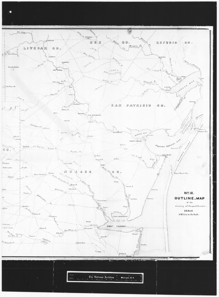

Print $20.00
- Digital $50.00
No. IX - Outline map of the vicinity of Corpus Christi
Size: 24.8 x 18.3 inches
72967
[Reconnaissance report of Lieut. Scariott around Laguna del Madre and up to Fort San Saba]
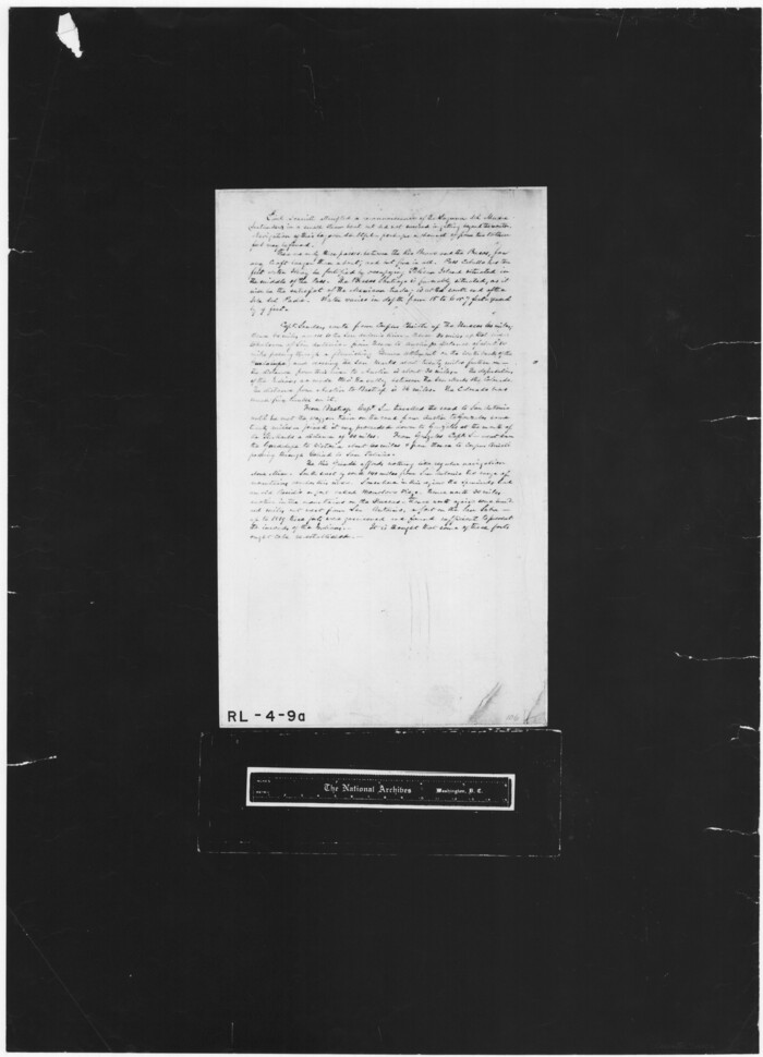

Print $20.00
- Digital $50.00
[Reconnaissance report of Lieut. Scariott around Laguna del Madre and up to Fort San Saba]
Size: 25.2 x 18.2 inches
73006
[Corpus Christi Bay, Padre Island, Mustang Island, Laguna de la Madre, King and Kenedy's Pasture]
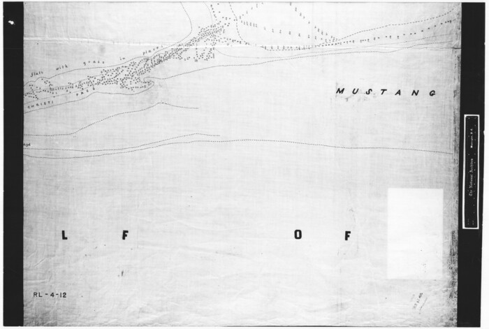

Print $20.00
- Digital $50.00
[Corpus Christi Bay, Padre Island, Mustang Island, Laguna de la Madre, King and Kenedy's Pasture]
Size: 18.2 x 27.0 inches
73040
[Corpus Christi Bay, Padre Island, Mustang Island, Laguna de la Madre, King and Kenedy's Pasture]
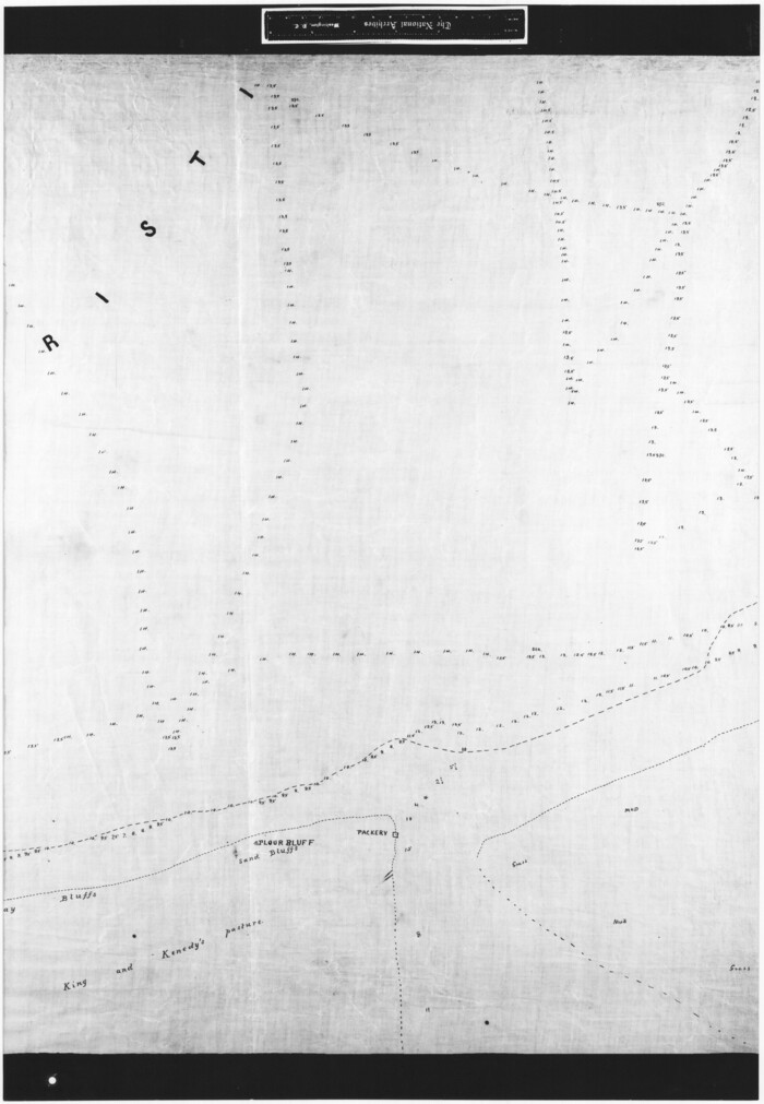

Print $20.00
- Digital $50.00
[Corpus Christi Bay, Padre Island, Mustang Island, Laguna de la Madre, King and Kenedy's Pasture]
Size: 26.2 x 18.1 inches
73041
[Corpus Christi Bay, Padre Island, Mustang Island, Laguna de la Madre, King and Kenedy's Pasture]
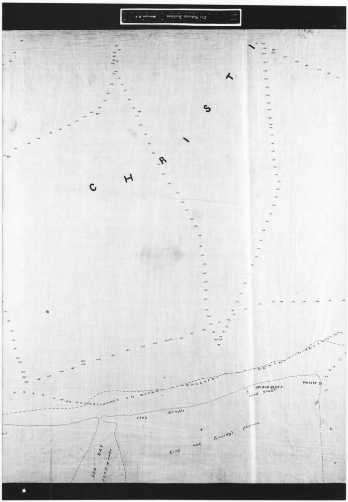

Print $20.00
- Digital $50.00
[Corpus Christi Bay, Padre Island, Mustang Island, Laguna de la Madre, King and Kenedy's Pasture]
Size: 26.2 x 18.2 inches
73042
[Corpus Christi Bay, Padre Island, Mustang Island, Laguna de la Madre, King and Kenedy's Pasture]
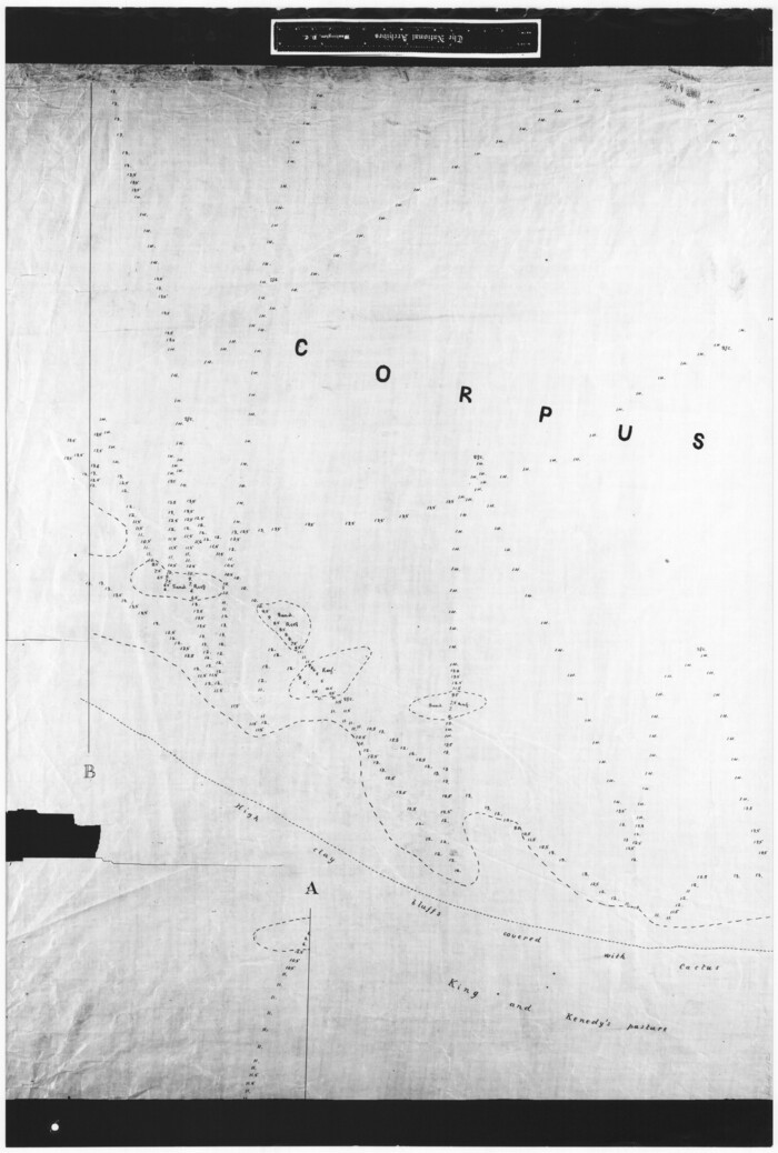

Print $20.00
- Digital $50.00
[Corpus Christi Bay, Padre Island, Mustang Island, Laguna de la Madre, King and Kenedy's Pasture]
Size: 27.0 x 18.2 inches
73043
[Corpus Christi Bay, Padre Island, Mustang Island, Laguna de la Madre, King and Kenedy's Pasture]
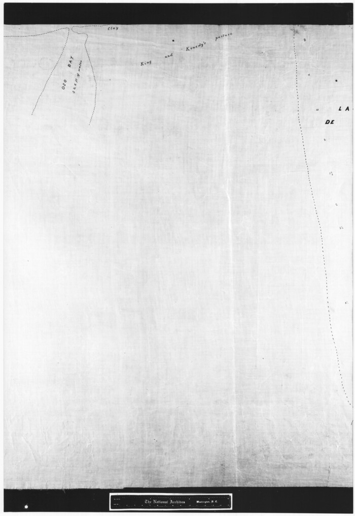

Print $20.00
- Digital $50.00
[Corpus Christi Bay, Padre Island, Mustang Island, Laguna de la Madre, King and Kenedy's Pasture]
Size: 26.5 x 18.2 inches
73044
Sketch of a part of Galveston Island


Print $3.00
- Digital $50.00
Sketch of a part of Galveston Island
-
Size
10.8 x 13.8 inches
-
Map/Doc
430
[Texas Gulf Coast]
![72677, [Texas Gulf Coast], General Map Collection](https://historictexasmaps.com/wmedia_w700/maps/72677.tif.jpg)
![72677, [Texas Gulf Coast], General Map Collection](https://historictexasmaps.com/wmedia_w700/maps/72677.tif.jpg)
Print $20.00
- Digital $50.00
[Texas Gulf Coast]
-
Size
27.3 x 18.2 inches
-
Map/Doc
72677
[Texas Gulf Coast]
![72678, [Texas Gulf Coast], General Map Collection](https://historictexasmaps.com/wmedia_w700/maps/72678.tif.jpg)
![72678, [Texas Gulf Coast], General Map Collection](https://historictexasmaps.com/wmedia_w700/maps/72678.tif.jpg)
Print $20.00
- Digital $50.00
[Texas Gulf Coast]
-
Size
18.3 x 27.6 inches
-
Map/Doc
72678
[Texas Gulf Coast from Rio Grande to Sabine Lake]
![72686, [Texas Gulf Coast from Rio Grande to Sabine Lake], General Map Collection](https://historictexasmaps.com/wmedia_w700/maps/72686.tif.jpg)
![72686, [Texas Gulf Coast from Rio Grande to Sabine Lake], General Map Collection](https://historictexasmaps.com/wmedia_w700/maps/72686.tif.jpg)
Print $20.00
- Digital $50.00
[Texas Gulf Coast from Rio Grande to Sabine Lake]
-
Size
28.0 x 18.3 inches
-
Map/Doc
72686
[Texas Gulf Coast from Rio Grande to Sabine Lake]
![72687, [Texas Gulf Coast from Rio Grande to Sabine Lake], General Map Collection](https://historictexasmaps.com/wmedia_w700/maps/72687.tif.jpg)
![72687, [Texas Gulf Coast from Rio Grande to Sabine Lake], General Map Collection](https://historictexasmaps.com/wmedia_w700/maps/72687.tif.jpg)
Print $20.00
- Digital $50.00
[Texas Gulf Coast from Rio Grande to Sabine Lake]
-
Size
28.1 x 18.3 inches
-
Map/Doc
72687
[Texas Gulf Coast from Rio Grande to Sabine Lake]
![72688, [Texas Gulf Coast from Rio Grande to Sabine Lake], General Map Collection](https://historictexasmaps.com/wmedia_w700/maps/72688.tif.jpg)
![72688, [Texas Gulf Coast from Rio Grande to Sabine Lake], General Map Collection](https://historictexasmaps.com/wmedia_w700/maps/72688.tif.jpg)
Print $20.00
- Digital $50.00
[Texas Gulf Coast from Rio Grande to Sabine Lake]
-
Size
27.8 x 18.3 inches
-
Map/Doc
72688
Index sheet to accompany map of survey for connecting the inland waters along margin of the Gulf of Mexico from Donaldsonville in Louisiana to the Rio Grande River in Texas


Print $20.00
- Digital $50.00
Index sheet to accompany map of survey for connecting the inland waters along margin of the Gulf of Mexico from Donaldsonville in Louisiana to the Rio Grande River in Texas
-
Size
18.3 x 27.6 inches
-
Map/Doc
72689
Index sheet to accompany map of survey for connecting the inland waters along margin of the Gulf of Mexico from Donaldsonville in Louisiana to the Rio Grande River in Texas


Print $20.00
- Digital $50.00
Index sheet to accompany map of survey for connecting the inland waters along margin of the Gulf of Mexico from Donaldsonville in Louisiana to the Rio Grande River in Texas
-
Size
18.2 x 27.4 inches
-
Map/Doc
72690
Index sheet to accompany map of survey for connecting the inland waters along margin of the Gulf of Mexico from Donaldsonville in Louisiana to the Rio Grande River in Texas


Print $20.00
- Digital $50.00
Index sheet to accompany map of survey for connecting the inland waters along margin of the Gulf of Mexico from Donaldsonville in Louisiana to the Rio Grande River in Texas
-
Size
18.2 x 27.5 inches
-
Map/Doc
72691
Texas Coast, No. 17


Print $20.00
- Digital $50.00
Texas Coast, No. 17
-
Size
18.3 x 27.6 inches
-
Map/Doc
72712
Texas Coast, No. 17


Print $20.00
- Digital $50.00
Texas Coast, No. 17
-
Size
18.3 x 26.1 inches
-
Map/Doc
72713
Map of north end of Brazos Island


Print $20.00
- Digital $50.00
Map of north end of Brazos Island
-
Size
27.5 x 18.4 inches
-
Map/Doc
72905
Map of north end of Brazos Island


Print $20.00
- Digital $50.00
Map of north end of Brazos Island
-
Size
27.5 x 18.3 inches
-
Map/Doc
72906
Map of north end of Brazos Island


Print $20.00
- Digital $50.00
Map of north end of Brazos Island
-
Size
27.7 x 18.3 inches
-
Map/Doc
72907
Map of north end of Brazos Island


Print $20.00
- Digital $50.00
Map of north end of Brazos Island
-
Size
27.6 x 18.2 inches
-
Map/Doc
72908
North end of Brazos Island


Print $20.00
- Digital $50.00
North end of Brazos Island
-
Size
26.0 x 18.3 inches
-
Map/Doc
72915
North end of Brazos Island


Print $20.00
- Digital $50.00
North end of Brazos Island
-
Size
26.0 x 18.2 inches
-
Map/Doc
72916
North end of Brazos Island


Print $20.00
- Digital $50.00
North end of Brazos Island
-
Size
25.9 x 18.2 inches
-
Map/Doc
72917
Map showing the environs of Brazos Island, Texas


Print $20.00
- Digital $50.00
Map showing the environs of Brazos Island, Texas
-
Size
18.2 x 25.0 inches
-
Map/Doc
72925
Map showing the environs of Brazos Island, Texas


Print $20.00
- Digital $50.00
Map showing the environs of Brazos Island, Texas
-
Size
18.1 x 25.0 inches
-
Map/Doc
72926
Sketch showing progress of topographical work Laguna Madre and vicinity from Rainey Is. to Baffins Bay, Coast of Texas Sect. IX [and accompanying letter]
![72961, Sketch showing progress of topographical work Laguna Madre and vicinity from Rainey Is. to Baffins Bay, Coast of Texas Sect. IX [and accompanying letter], General Map Collection](https://historictexasmaps.com/wmedia_w700/maps/72961.tif.jpg)
![72961, Sketch showing progress of topographical work Laguna Madre and vicinity from Rainey Is. to Baffins Bay, Coast of Texas Sect. IX [and accompanying letter], General Map Collection](https://historictexasmaps.com/wmedia_w700/maps/72961.tif.jpg)
Print $2.00
- Digital $50.00
Sketch showing progress of topographical work Laguna Madre and vicinity from Rainey Is. to Baffins Bay, Coast of Texas Sect. IX [and accompanying letter]
-
Size
11.1 x 8.7 inches
-
Map/Doc
72961
Sketch of coast of Texas, Laguna Madre from Pt. of Rocks to Corpus Christi [and accompanying letter]
![72964, Sketch of coast of Texas, Laguna Madre from Pt. of Rocks to Corpus Christi [and accompanying letter], General Map Collection](https://historictexasmaps.com/wmedia_w700/maps/72964.tif.jpg)
![72964, Sketch of coast of Texas, Laguna Madre from Pt. of Rocks to Corpus Christi [and accompanying letter], General Map Collection](https://historictexasmaps.com/wmedia_w700/maps/72964.tif.jpg)
Print $2.00
- Digital $50.00
Sketch of coast of Texas, Laguna Madre from Pt. of Rocks to Corpus Christi [and accompanying letter]
-
Size
11.2 x 8.8 inches
-
Map/Doc
72964
No. IX - Outline map of the vicinity of Corpus Christi


Print $20.00
- Digital $50.00
No. IX - Outline map of the vicinity of Corpus Christi
-
Size
24.9 x 18.2 inches
-
Map/Doc
72966
No. IX - Outline map of the vicinity of Corpus Christi


Print $20.00
- Digital $50.00
No. IX - Outline map of the vicinity of Corpus Christi
-
Size
24.8 x 18.3 inches
-
Map/Doc
72967
[Reconnaissance report of Lieut. Scariott around Laguna del Madre and up to Fort San Saba]
![73006, [Reconnaissance report of Lieut. Scariott around Laguna del Madre and up to Fort San Saba], General Map Collection](https://historictexasmaps.com/wmedia_w700/maps/73006.tif.jpg)
![73006, [Reconnaissance report of Lieut. Scariott around Laguna del Madre and up to Fort San Saba], General Map Collection](https://historictexasmaps.com/wmedia_w700/maps/73006.tif.jpg)
Print $20.00
- Digital $50.00
[Reconnaissance report of Lieut. Scariott around Laguna del Madre and up to Fort San Saba]
-
Size
25.2 x 18.2 inches
-
Map/Doc
73006
[Corpus Christi Bay, Padre Island, Mustang Island, Laguna de la Madre, King and Kenedy's Pasture]
![73040, [Corpus Christi Bay, Padre Island, Mustang Island, Laguna de la Madre, King and Kenedy's Pasture], General Map Collection](https://historictexasmaps.com/wmedia_w700/maps/73040.tif.jpg)
![73040, [Corpus Christi Bay, Padre Island, Mustang Island, Laguna de la Madre, King and Kenedy's Pasture], General Map Collection](https://historictexasmaps.com/wmedia_w700/maps/73040.tif.jpg)
Print $20.00
- Digital $50.00
[Corpus Christi Bay, Padre Island, Mustang Island, Laguna de la Madre, King and Kenedy's Pasture]
-
Size
18.2 x 27.0 inches
-
Map/Doc
73040
[Corpus Christi Bay, Padre Island, Mustang Island, Laguna de la Madre, King and Kenedy's Pasture]
![73041, [Corpus Christi Bay, Padre Island, Mustang Island, Laguna de la Madre, King and Kenedy's Pasture], General Map Collection](https://historictexasmaps.com/wmedia_w700/maps/73041.tif.jpg)
![73041, [Corpus Christi Bay, Padre Island, Mustang Island, Laguna de la Madre, King and Kenedy's Pasture], General Map Collection](https://historictexasmaps.com/wmedia_w700/maps/73041.tif.jpg)
Print $20.00
- Digital $50.00
[Corpus Christi Bay, Padre Island, Mustang Island, Laguna de la Madre, King and Kenedy's Pasture]
-
Size
26.2 x 18.1 inches
-
Map/Doc
73041
[Corpus Christi Bay, Padre Island, Mustang Island, Laguna de la Madre, King and Kenedy's Pasture]
![73042, [Corpus Christi Bay, Padre Island, Mustang Island, Laguna de la Madre, King and Kenedy's Pasture], General Map Collection](https://historictexasmaps.com/wmedia_w700/maps/73042.tif.jpg)
![73042, [Corpus Christi Bay, Padre Island, Mustang Island, Laguna de la Madre, King and Kenedy's Pasture], General Map Collection](https://historictexasmaps.com/wmedia_w700/maps/73042.tif.jpg)
Print $20.00
- Digital $50.00
[Corpus Christi Bay, Padre Island, Mustang Island, Laguna de la Madre, King and Kenedy's Pasture]
-
Size
26.2 x 18.2 inches
-
Map/Doc
73042
[Corpus Christi Bay, Padre Island, Mustang Island, Laguna de la Madre, King and Kenedy's Pasture]
![73043, [Corpus Christi Bay, Padre Island, Mustang Island, Laguna de la Madre, King and Kenedy's Pasture], General Map Collection](https://historictexasmaps.com/wmedia_w700/maps/73043.tif.jpg)
![73043, [Corpus Christi Bay, Padre Island, Mustang Island, Laguna de la Madre, King and Kenedy's Pasture], General Map Collection](https://historictexasmaps.com/wmedia_w700/maps/73043.tif.jpg)
Print $20.00
- Digital $50.00
[Corpus Christi Bay, Padre Island, Mustang Island, Laguna de la Madre, King and Kenedy's Pasture]
-
Size
27.0 x 18.2 inches
-
Map/Doc
73043
[Corpus Christi Bay, Padre Island, Mustang Island, Laguna de la Madre, King and Kenedy's Pasture]
![73044, [Corpus Christi Bay, Padre Island, Mustang Island, Laguna de la Madre, King and Kenedy's Pasture], General Map Collection](https://historictexasmaps.com/wmedia_w700/maps/73044.tif.jpg)
![73044, [Corpus Christi Bay, Padre Island, Mustang Island, Laguna de la Madre, King and Kenedy's Pasture], General Map Collection](https://historictexasmaps.com/wmedia_w700/maps/73044.tif.jpg)
Print $20.00
- Digital $50.00
[Corpus Christi Bay, Padre Island, Mustang Island, Laguna de la Madre, King and Kenedy's Pasture]
-
Size
26.5 x 18.2 inches
-
Map/Doc
73044