Sketch showing progress of topographical work Laguna Madre and vicinity from Rainey Is. to Baffins Bay, Coast of Texas Sect. IX [and accompanying letter]
RL-4-4a
-
Map/Doc
72961
-
Collection
General Map Collection
-
Subjects
Gulf of Mexico
-
Height x Width
11.1 x 8.7 inches
28.2 x 22.1 cm
-
Comments
B/W photocopy from National Archives in multiple pieces.
Part of: General Map Collection
Harris County Sketch File 87
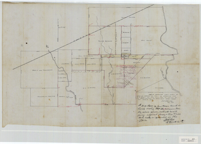

Print $20.00
- Digital $50.00
Harris County Sketch File 87
1895
Size 19.7 x 27.6 inches
Map/Doc 11675
Presidio County Working Sketch 116
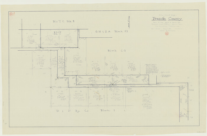

Print $20.00
- Digital $50.00
Presidio County Working Sketch 116
1982
Size 27.8 x 42.4 inches
Map/Doc 71793
Taylor County Sketch File 5
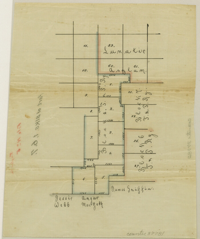

Print $4.00
- Digital $50.00
Taylor County Sketch File 5
Size 9.3 x 7.8 inches
Map/Doc 37781
Baylor County Sketch File 15
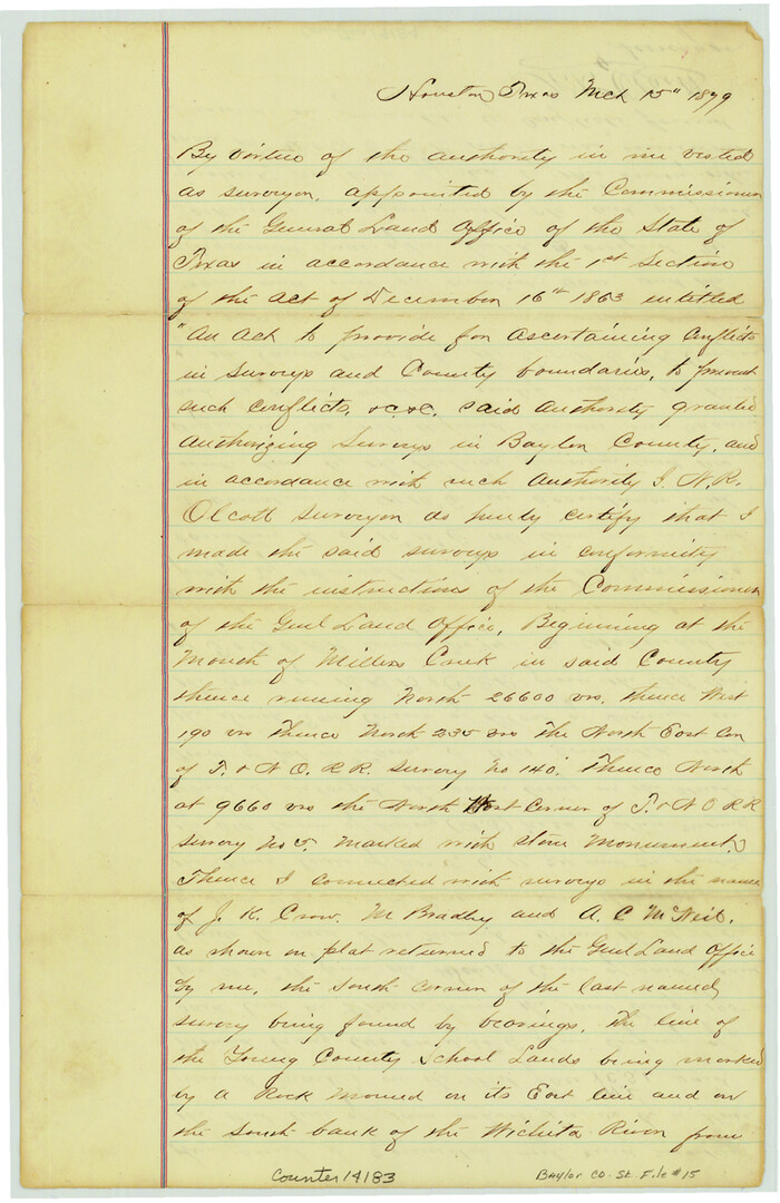

Print $6.00
- Digital $50.00
Baylor County Sketch File 15
1879
Size 13.0 x 8.4 inches
Map/Doc 14183
Jim Hogg County
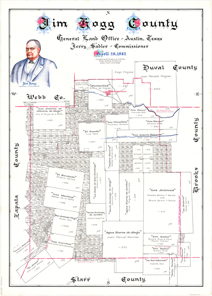

Print $20.00
- Digital $50.00
Jim Hogg County
1962
Size 41.3 x 30.0 inches
Map/Doc 73197
Reagan County Working Sketch 29


Print $40.00
- Digital $50.00
Reagan County Working Sketch 29
1963
Size 34.3 x 66.4 inches
Map/Doc 71871
Uvalde County Rolled Sketch A
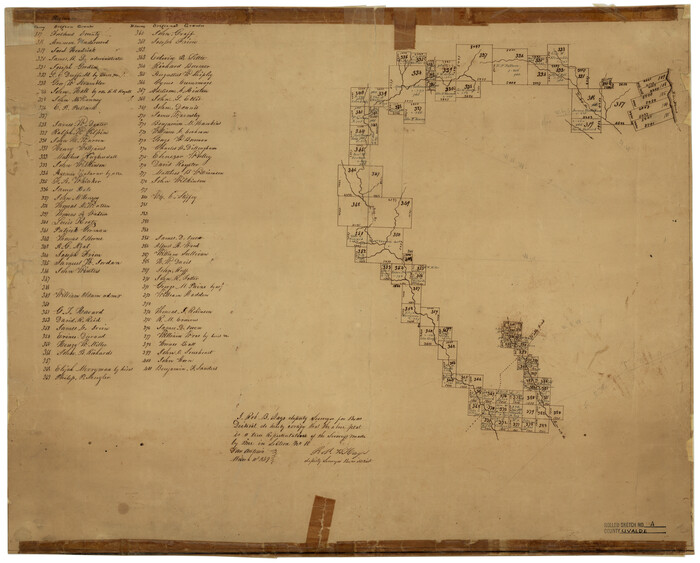

Print $20.00
- Digital $50.00
Uvalde County Rolled Sketch A
1849
Size 21.7 x 25.8 inches
Map/Doc 8104
Freestone County
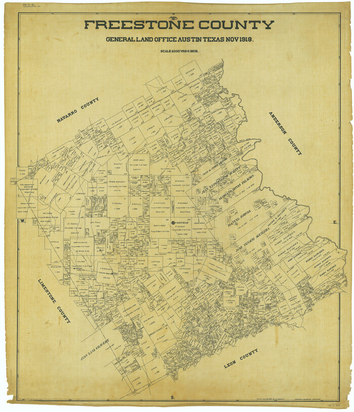

Print $40.00
- Digital $50.00
Freestone County
1918
Size 48.9 x 42.0 inches
Map/Doc 1831
Cochran County
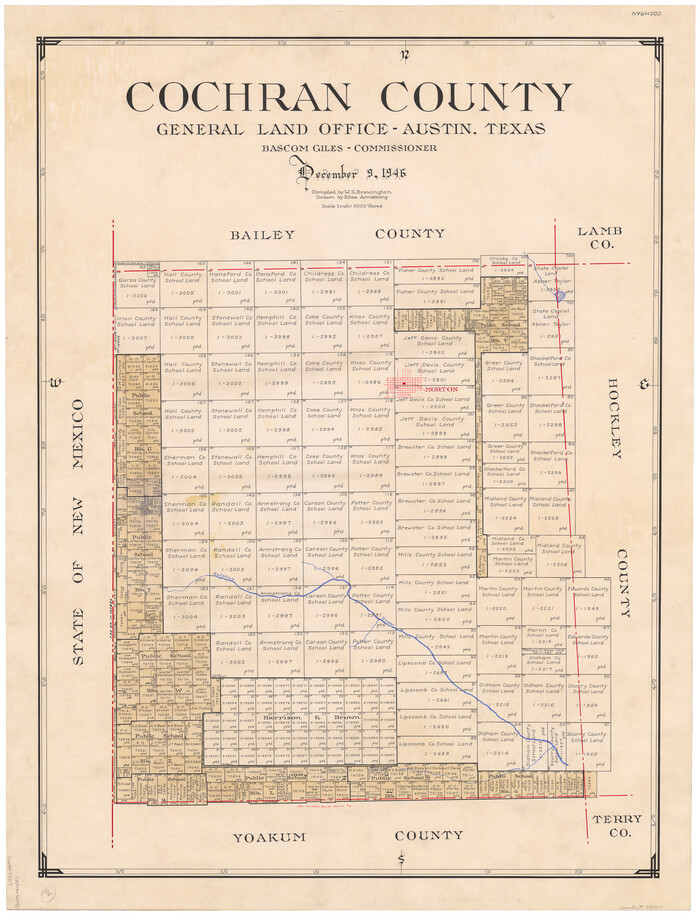

Print $20.00
- Digital $50.00
Cochran County
1946
Size 33.0 x 25.3 inches
Map/Doc 73107
Goliad County Sketch File 40
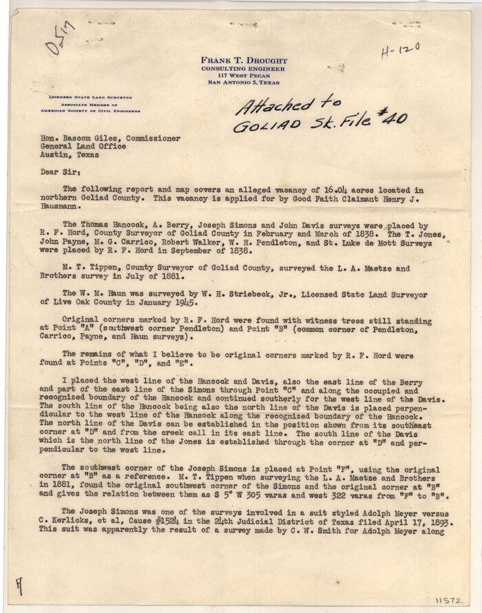

Print $20.00
- Digital $50.00
Goliad County Sketch File 40
1949
Size 23.9 x 36.0 inches
Map/Doc 11572
Presidio County Working Sketch 32
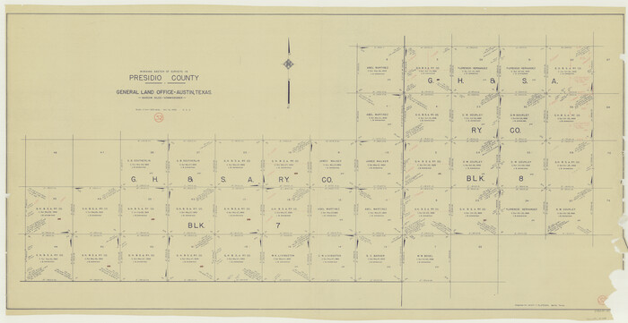

Print $40.00
- Digital $50.00
Presidio County Working Sketch 32
1946
Size 26.1 x 50.6 inches
Map/Doc 71709
Motley County Sketch File 30 (S)
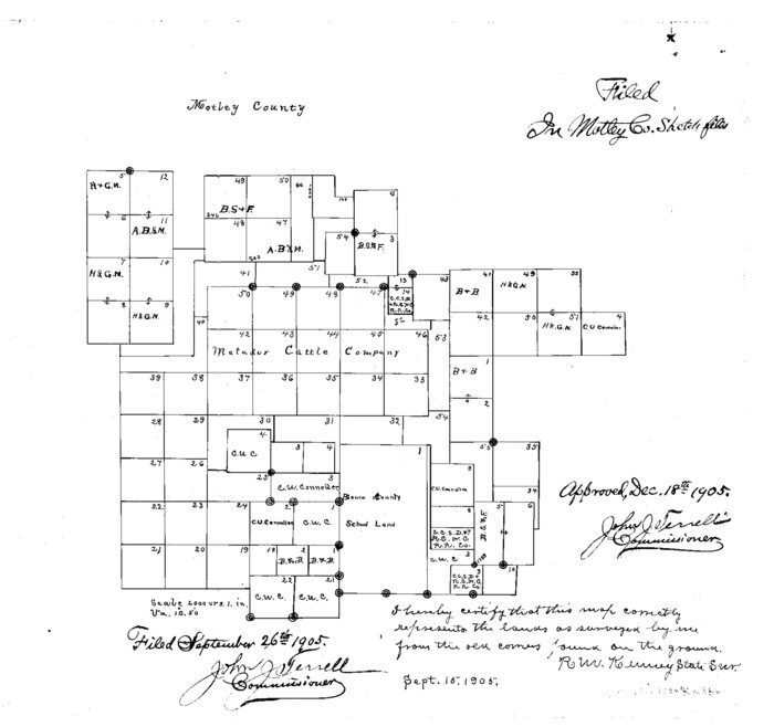

Print $40.00
- Digital $50.00
Motley County Sketch File 30 (S)
1905
Size 16.1 x 17.1 inches
Map/Doc 42147
You may also like
Flight Mission No. DQO-7K, Frame 103, Galveston County

Print $20.00
- Digital $50.00
Flight Mission No. DQO-7K, Frame 103, Galveston County
1952
Size 18.5 x 22.7 inches
Map/Doc 85118
Young County Rolled Sketch 15


Print $20.00
- Digital $50.00
Young County Rolled Sketch 15
Size 18.0 x 22.7 inches
Map/Doc 8303
King County Working Sketch 8
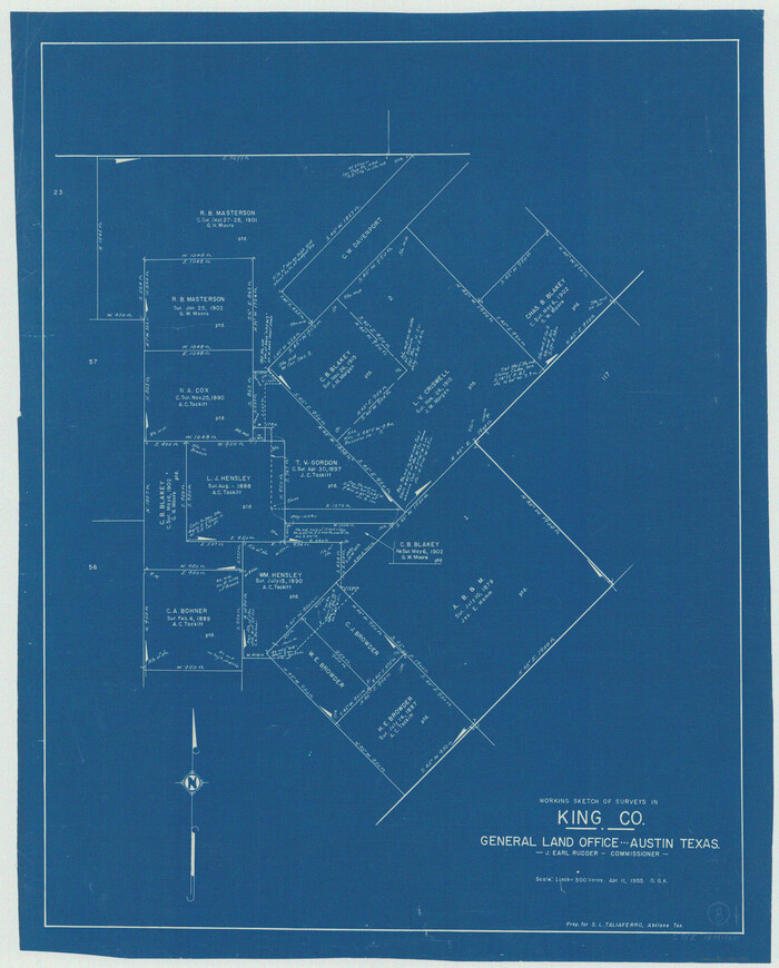

Print $20.00
- Digital $50.00
King County Working Sketch 8
1955
Size 30.8 x 24.8 inches
Map/Doc 70172
Coleman County
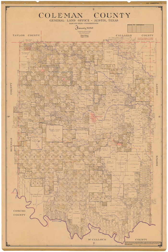

Print $40.00
- Digital $50.00
Coleman County
1945
Size 55.7 x 37.1 inches
Map/Doc 95458
Castro County Sketch File 13
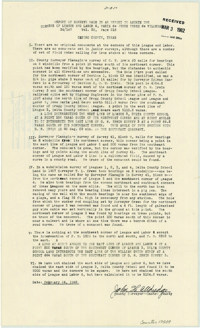

Print $4.00
- Digital $50.00
Castro County Sketch File 13
1962
Size 14.1 x 8.6 inches
Map/Doc 17509
Blanco County Working Sketch 44
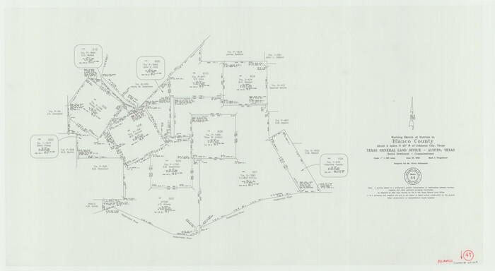

Print $20.00
- Digital $50.00
Blanco County Working Sketch 44
2000
Size 19.5 x 35.6 inches
Map/Doc 67404
Potter County Rolled Sketch 11


Print $20.00
- Digital $50.00
Potter County Rolled Sketch 11
1986
Size 21.6 x 27.4 inches
Map/Doc 7324
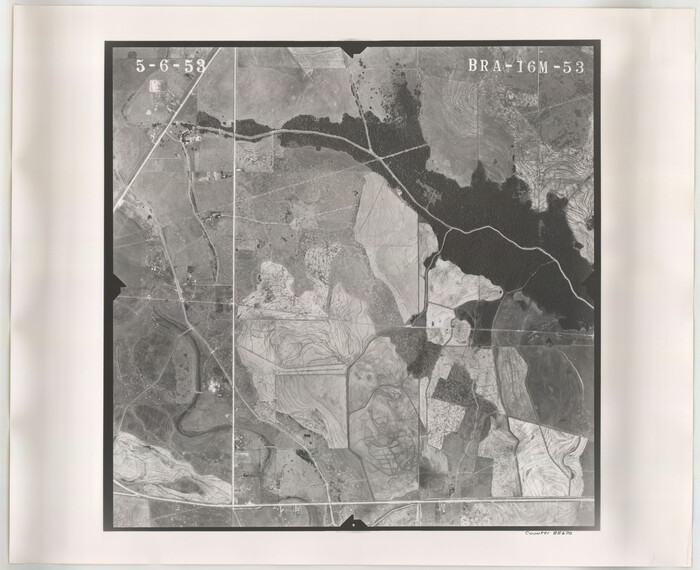
Flight Mission No. BRA-16M, Frame 53, Jefferson County

Print $20.00
- Digital $50.00
Flight Mission No. BRA-16M, Frame 53, Jefferson County
1953
Size 18.4 x 22.6 inches
Map/Doc 85670
Bell County Sketch File 3


Print $4.00
- Digital $50.00
Bell County Sketch File 3
1848
Size 12.6 x 8.4 inches
Map/Doc 14367
Flight Mission No. DQO-1K, Frame 145, Galveston County

Print $20.00
- Digital $50.00
Flight Mission No. DQO-1K, Frame 145, Galveston County
1952
Size 18.9 x 22.6 inches
Map/Doc 84998
[Garza, Blanco, Uvalde, and Crosby County School Lands]
![91197, [Garza, Blanco, Uvalde, and Crosby County School Lands], Twichell Survey Records](https://historictexasmaps.com/wmedia_w700/maps/91197-1.tif.jpg)
![91197, [Garza, Blanco, Uvalde, and Crosby County School Lands], Twichell Survey Records](https://historictexasmaps.com/wmedia_w700/maps/91197-1.tif.jpg)
Print $20.00
- Digital $50.00
[Garza, Blanco, Uvalde, and Crosby County School Lands]
1913
Size 14.7 x 16.6 inches
Map/Doc 91197
Flight Mission No. CRC-2R, Frame 198, Chambers County


Print $20.00
- Digital $50.00
Flight Mission No. CRC-2R, Frame 198, Chambers County
1956
Size 18.7 x 22.4 inches
Map/Doc 84776
![72961, Sketch showing progress of topographical work Laguna Madre and vicinity from Rainey Is. to Baffins Bay, Coast of Texas Sect. IX [and accompanying letter], General Map Collection](https://historictexasmaps.com/wmedia_w1800h1800/maps/72961.tif.jpg)