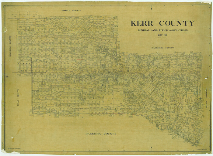
[Corpus Christi Bay, Padre Island, Mustang Island, Laguna de la Madre, King and Kenedy's Pasture]
RL-4-12
-
Map/Doc
73044
-
Collection
General Map Collection
-
Subjects
Gulf of Mexico
-
Height x Width
26.5 x 18.2 inches
67.3 x 46.2 cm
-
Comments
B/W photostat copy from National Archives in multiple pieces.
Part of: General Map Collection
Freestone County Sketch File 19
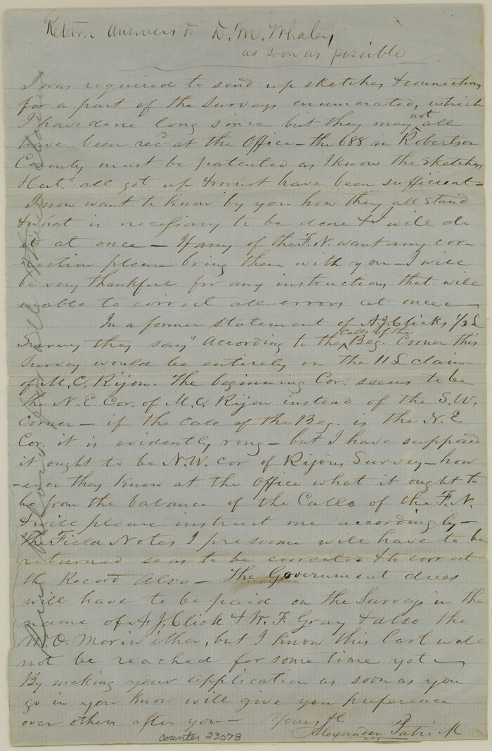

Print $8.00
- Digital $50.00
Freestone County Sketch File 19
Size 12.4 x 8.1 inches
Map/Doc 23078
Fayette County Rolled Sketch K


Print $20.00
- Digital $50.00
Fayette County Rolled Sketch K
1936
Size 41.2 x 40.0 inches
Map/Doc 8886
Map of Cherokee County


Print $20.00
- Digital $50.00
Map of Cherokee County
1877
Size 29.0 x 21.2 inches
Map/Doc 3389
Galveston County NRC Article 33.136 Sketch 75
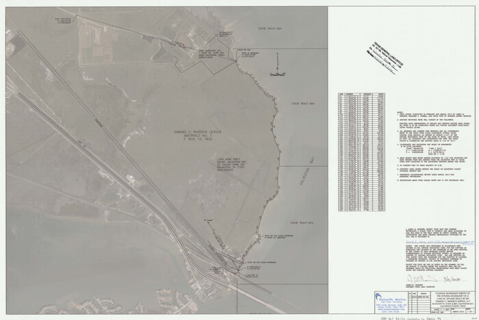

Print $32.00
- Digital $50.00
Galveston County NRC Article 33.136 Sketch 75
2014
Size 24.0 x 36.0 inches
Map/Doc 95118
Pecos County Rolled Sketch JAS-1A
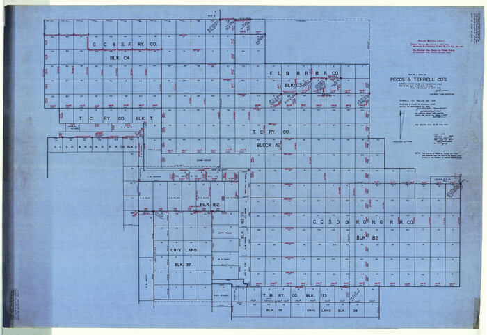

Print $40.00
- Digital $50.00
Pecos County Rolled Sketch JAS-1A
1960
Size 43.5 x 63.3 inches
Map/Doc 9746
Controlled Mosaic by Jack Amman Photogrammetric Engineers, Inc - Sheet 37
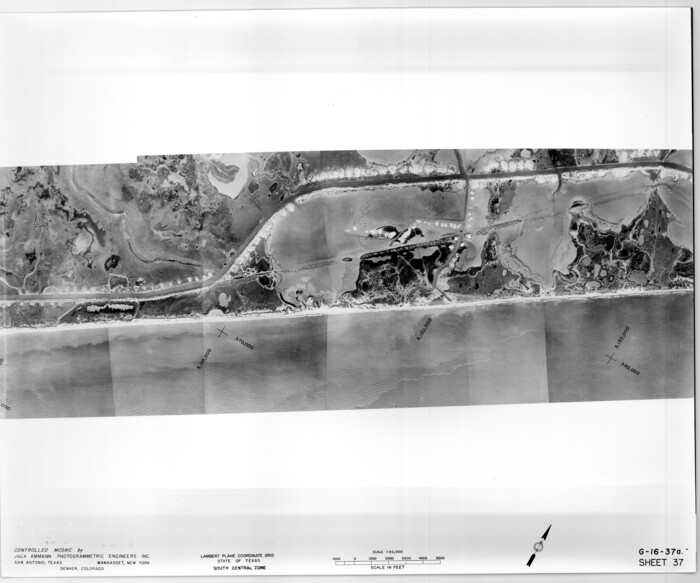

Print $20.00
- Digital $50.00
Controlled Mosaic by Jack Amman Photogrammetric Engineers, Inc - Sheet 37
1954
Size 20.0 x 24.0 inches
Map/Doc 83490
Aransas County Aerial Photograph Index Sheet 3
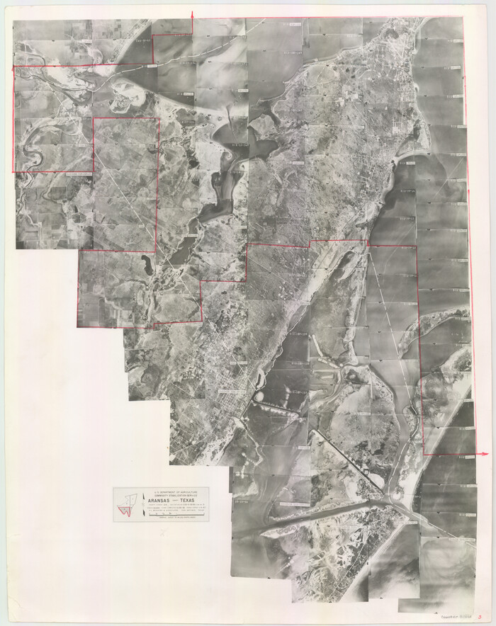

Print $20.00
- Digital $50.00
Aransas County Aerial Photograph Index Sheet 3
1957
Size 22.8 x 18.1 inches
Map/Doc 83661
Hemphill County Sketch File 8


Print $9.00
- Digital $50.00
Hemphill County Sketch File 8
Size 14.3 x 8.9 inches
Map/Doc 26308
Controlled Mosaic by Jack Amman Photogrammetric Engineers, Inc - Sheet 45
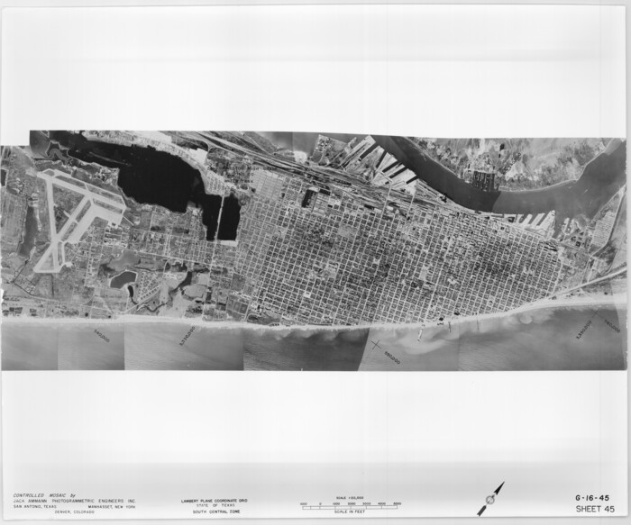

Print $20.00
- Digital $50.00
Controlled Mosaic by Jack Amman Photogrammetric Engineers, Inc - Sheet 45
1954
Size 20.0 x 24.0 inches
Map/Doc 83504
Dimmit County Sketch File 62


Print $8.00
- Digital $50.00
Dimmit County Sketch File 62
2012
Size 11.0 x 8.5 inches
Map/Doc 93631
Val Verde County Sketch File 28
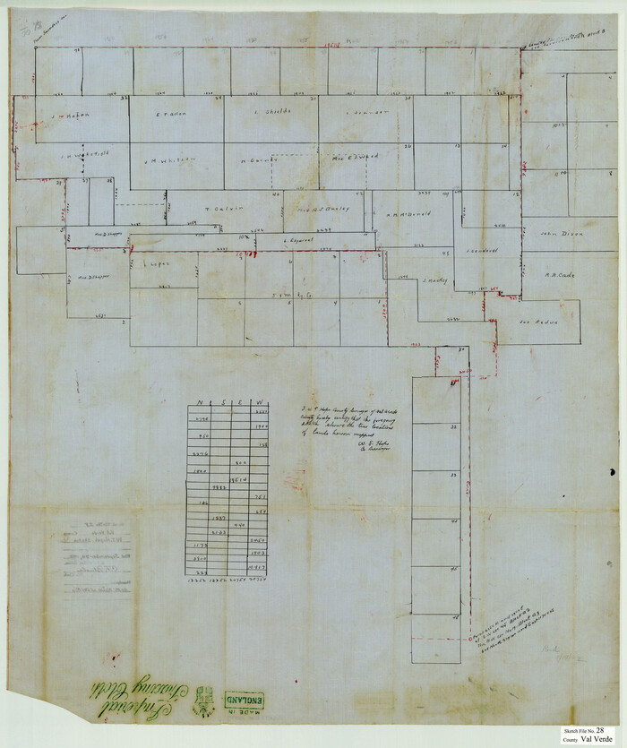

Print $20.00
- Digital $50.00
Val Verde County Sketch File 28
Size 29.9 x 25.1 inches
Map/Doc 12573
[F. W. & D. C. Ry. Co. Alignment and Right of Way Map, Clay County]
![64734, [F. W. & D. C. Ry. Co. Alignment and Right of Way Map, Clay County], General Map Collection](https://historictexasmaps.com/wmedia_w700/maps/64734-GC.tif.jpg)
![64734, [F. W. & D. C. Ry. Co. Alignment and Right of Way Map, Clay County], General Map Collection](https://historictexasmaps.com/wmedia_w700/maps/64734-GC.tif.jpg)
Print $20.00
- Digital $50.00
[F. W. & D. C. Ry. Co. Alignment and Right of Way Map, Clay County]
1927
Size 18.6 x 11.8 inches
Map/Doc 64734
You may also like
[Blk. M, T. & P. Blocks 33-36, Townships 5N and 6N]
![90548, [Blk. M, T. & P. Blocks 33-36, Townships 5N and 6N], Twichell Survey Records](https://historictexasmaps.com/wmedia_w700/maps/90548-1.tif.jpg)
![90548, [Blk. M, T. & P. Blocks 33-36, Townships 5N and 6N], Twichell Survey Records](https://historictexasmaps.com/wmedia_w700/maps/90548-1.tif.jpg)
Print $20.00
- Digital $50.00
[Blk. M, T. & P. Blocks 33-36, Townships 5N and 6N]
Size 12.3 x 16.1 inches
Map/Doc 90548
Comal County State Real Property Sketch 1


Print $134.00
- Digital $50.00
Comal County State Real Property Sketch 1
2006
Size 23.8 x 35.4 inches
Map/Doc 88635
Travis County Appraisal District Plat Map 2_1002
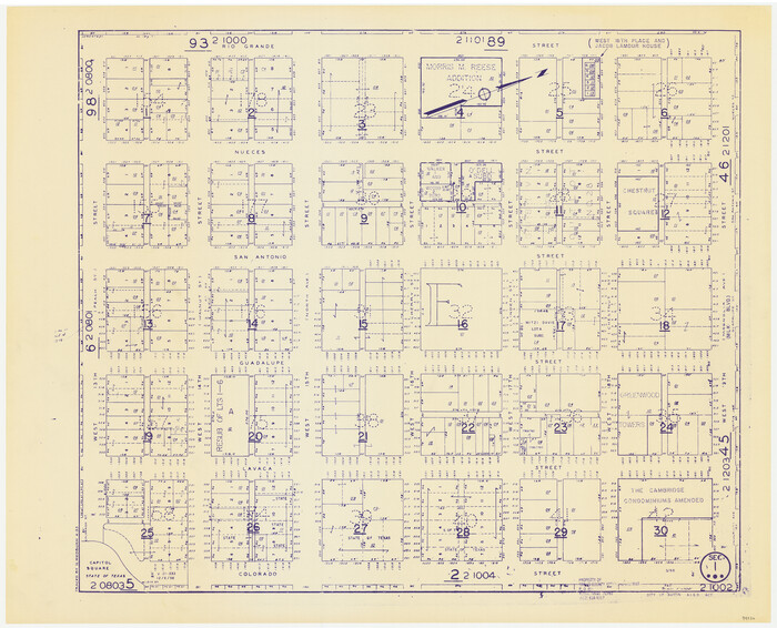

Print $20.00
- Digital $50.00
Travis County Appraisal District Plat Map 2_1002
Size 21.4 x 26.5 inches
Map/Doc 94230
Gregg County Rolled Sketch 26


Print $40.00
- Digital $50.00
Gregg County Rolled Sketch 26
1937
Size 25.8 x 129.0 inches
Map/Doc 9077
Subdivision Map of Fisher County School Land Situated in Bailey and Cochran Counties, Texas
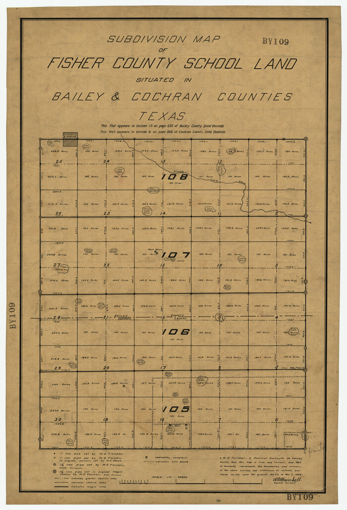

Print $20.00
- Digital $50.00
Subdivision Map of Fisher County School Land Situated in Bailey and Cochran Counties, Texas
1924
Size 20.3 x 29.8 inches
Map/Doc 92472
Ector County Working Sketch 5
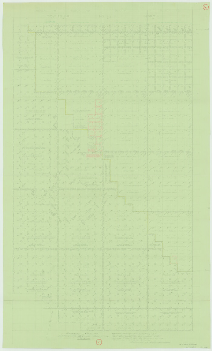

Print $20.00
- Digital $50.00
Ector County Working Sketch 5
1941
Size 44.7 x 27.1 inches
Map/Doc 68848
Washington County
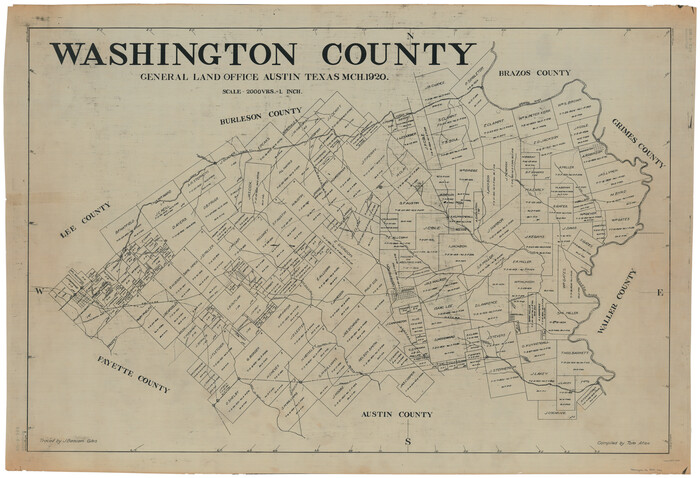

Print $40.00
- Digital $50.00
Washington County
1920
Size 33.5 x 48.8 inches
Map/Doc 1900
Jack County Sketch File 30
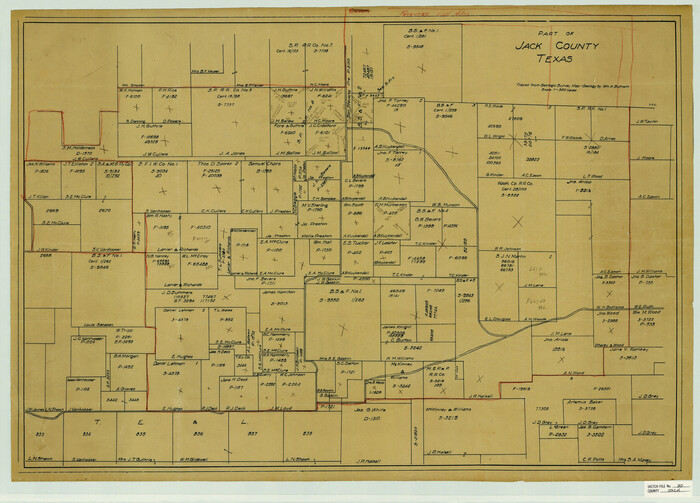

Print $20.00
- Digital $50.00
Jack County Sketch File 30
Size 24.9 x 34.7 inches
Map/Doc 11829
Cherokee County Working Sketch 18
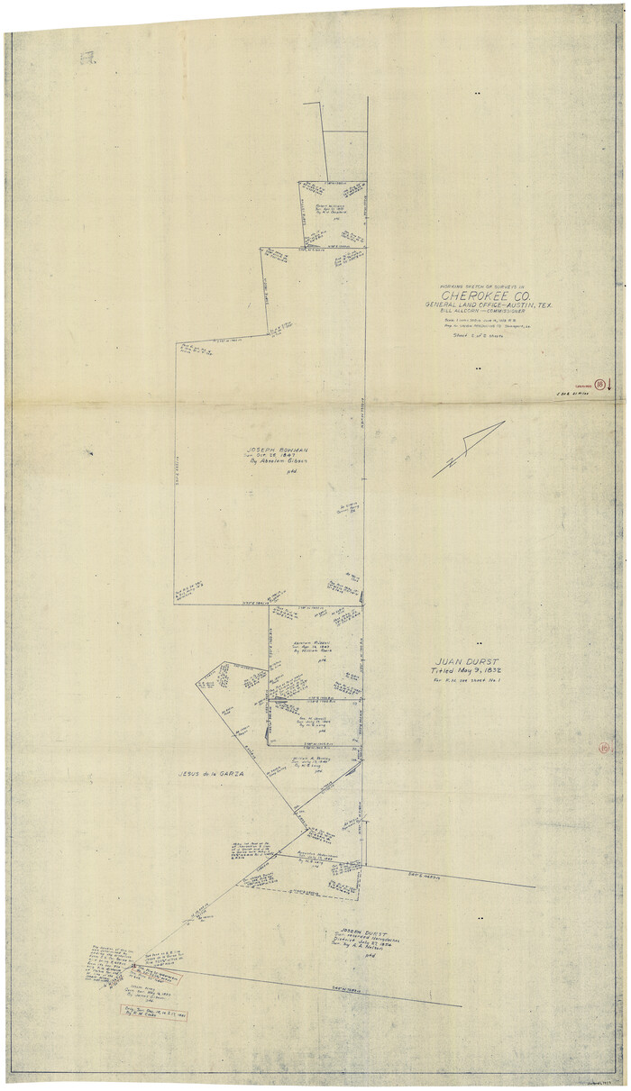

Print $40.00
- Digital $50.00
Cherokee County Working Sketch 18
1958
Size 74.6 x 43.6 inches
Map/Doc 67973
Block D14 Terry County


Print $20.00
- Digital $50.00
Block D14 Terry County
Size 17.0 x 17.7 inches
Map/Doc 92416
[Sketch for Mineral Applications 26885-6 - Reagan and Crockett Cos., W. H. Bland]
![65671, [Sketch for Mineral Applications 26885-6 - Reagan and Crockett Cos., W. H. Bland], General Map Collection](https://historictexasmaps.com/wmedia_w700/maps/65671-1.tif.jpg)
![65671, [Sketch for Mineral Applications 26885-6 - Reagan and Crockett Cos., W. H. Bland], General Map Collection](https://historictexasmaps.com/wmedia_w700/maps/65671-1.tif.jpg)
Print $40.00
- Digital $50.00
[Sketch for Mineral Applications 26885-6 - Reagan and Crockett Cos., W. H. Bland]
Size 37.3 x 51.0 inches
Map/Doc 65671
![73044, [Corpus Christi Bay, Padre Island, Mustang Island, Laguna de la Madre, King and Kenedy's Pasture], General Map Collection](https://historictexasmaps.com/wmedia_w1800h1800/maps/73044.tif.jpg)
