[F. W. & D. C. Ry. Co. Alignment and Right of Way Map, Clay County]
Z-2-203
-
Map/Doc
64734
-
Collection
General Map Collection
-
Object Dates
1927/8/18 (Creation Date)
-
People and Organizations
Office of Engineer Maintenance of Way (Publisher)
-
Counties
Clay
-
Subjects
Railroads
-
Height x Width
18.6 x 11.8 inches
47.2 x 30.0 cm
-
Medium
paper, photocopy
-
Scale
1" = 400 feet
-
Comments
See 64722 through 64732 and 64735 through 64747 for all segments of this map.
-
Features
East Fork of Wichita River
FW&DC
Part of: General Map Collection
Presidio County Sketch File 41
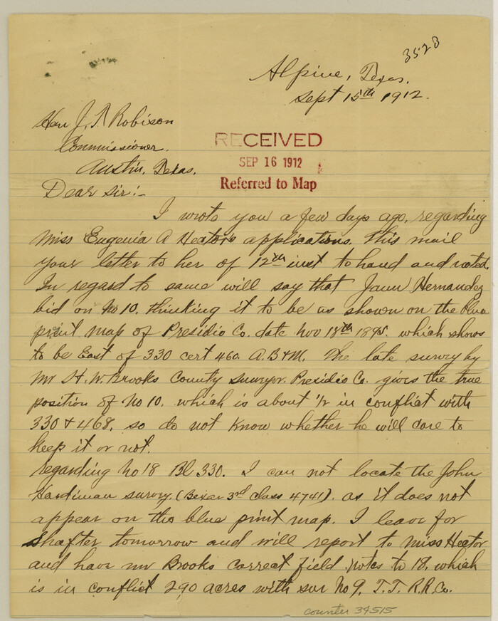

Print $6.00
- Digital $50.00
Presidio County Sketch File 41
Size 10.3 x 8.3 inches
Map/Doc 34515
Map of Jack County


Print $20.00
- Digital $50.00
Map of Jack County
Size 18.4 x 15.9 inches
Map/Doc 3702
Brazoria County Sketch File 25
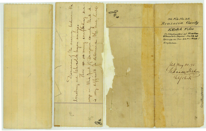

Print $8.00
- Digital $50.00
Brazoria County Sketch File 25
1875
Size 8.4 x 13.2 inches
Map/Doc 15024
Culberson County Working Sketch 81
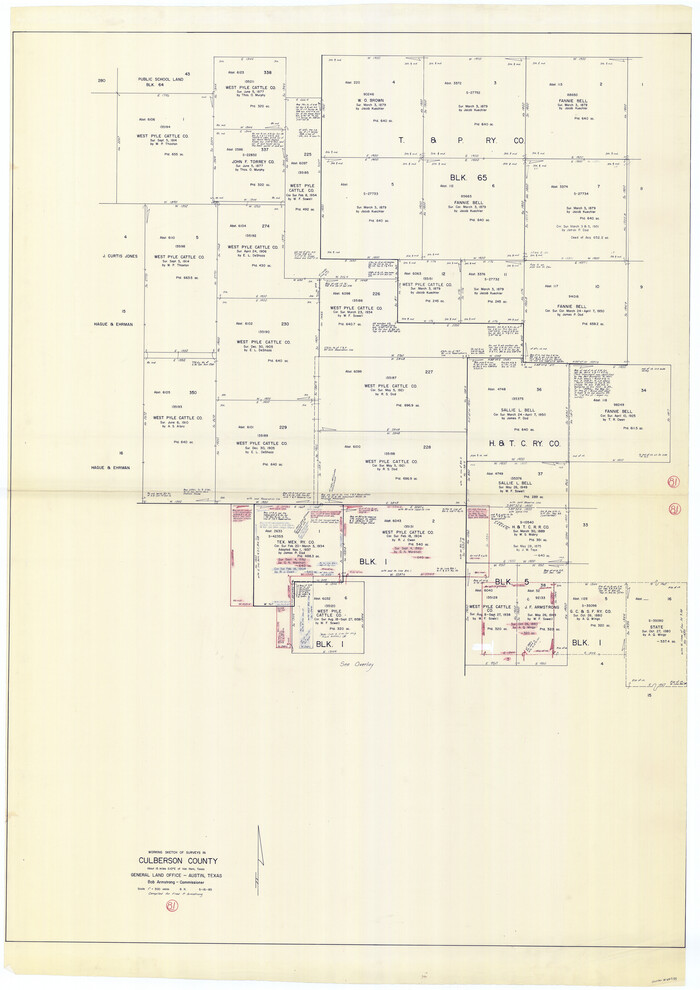

Print $40.00
- Digital $50.00
Culberson County Working Sketch 81
1980
Size 61.5 x 43.5 inches
Map/Doc 68535
Texas 1971 Official State Highway Map
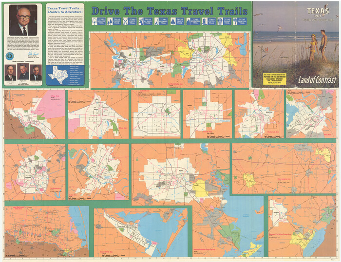

Digital $50.00
Texas 1971 Official State Highway Map
Size 27.9 x 36.3 inches
Map/Doc 94315
Bexar County Working Sketch 4
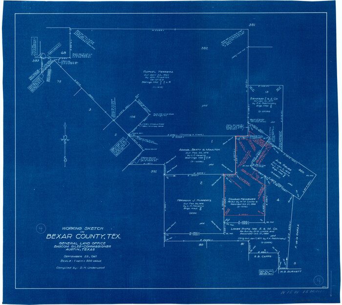

Print $20.00
- Digital $50.00
Bexar County Working Sketch 4
1941
Size 19.4 x 21.7 inches
Map/Doc 67320
Terrell County Working Sketch 66
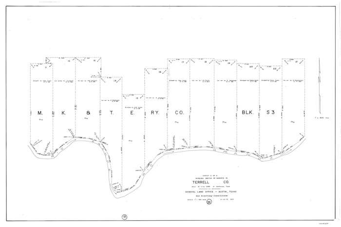

Print $40.00
- Digital $50.00
Terrell County Working Sketch 66
1972
Size 32.1 x 48.1 inches
Map/Doc 69587
Flight Mission No. BQR-13K, Frame 117, Brazoria County
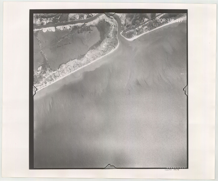

Print $20.00
- Digital $50.00
Flight Mission No. BQR-13K, Frame 117, Brazoria County
1952
Size 18.6 x 22.4 inches
Map/Doc 84078
Railroad Track Map, H&TCRRCo., Falls County, Texas


Print $4.00
- Digital $50.00
Railroad Track Map, H&TCRRCo., Falls County, Texas
1918
Size 11.7 x 18.5 inches
Map/Doc 62831
Wise County Working Sketch 31


Print $20.00
- Digital $50.00
Wise County Working Sketch 31
2009
Size 27.9 x 37.5 inches
Map/Doc 89985
King County Working Sketch 17
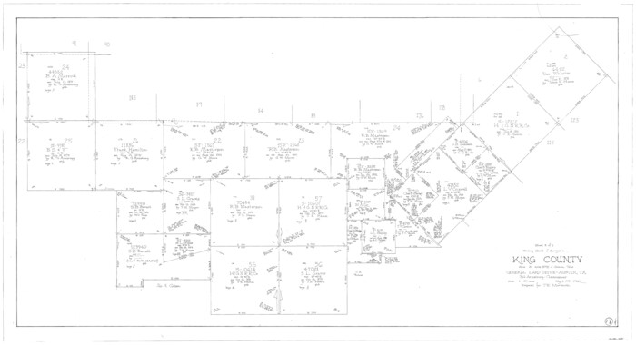

Print $40.00
- Digital $50.00
King County Working Sketch 17
1979
Size 32.2 x 59.3 inches
Map/Doc 70181
You may also like
Jeff Davis County Working Sketch 1

Print $20.00
- Digital $50.00
Jeff Davis County Working Sketch 1
Size 26.6 x 19.6 inches
Map/Doc 66496
Live Oak County Sketch File 6


Print $4.00
- Digital $50.00
Live Oak County Sketch File 6
1847
Size 9.9 x 7.8 inches
Map/Doc 30257
United States including territories and insular possessions showing the extent of public surveys, national parks, national forests, indian reservations, national wildlife refuges, and reclamation projects

Print $40.00
- Digital $50.00
United States including territories and insular possessions showing the extent of public surveys, national parks, national forests, indian reservations, national wildlife refuges, and reclamation projects
1953
Size 64.3 x 44.5 inches
Map/Doc 65796
Maps & Lists Showing Prison Lands (Oil & Gas) Leased as of June 1955

Digital $50.00
Maps & Lists Showing Prison Lands (Oil & Gas) Leased as of June 1955
1934
Size 35.6 x 32.3 inches
Map/Doc 62879
Hardeman County Sketch File Y


Print $4.00
- Digital $50.00
Hardeman County Sketch File Y
Size 9.2 x 8.5 inches
Map/Doc 25054
Brazoria County Aerial Photograph Index Sheet 7

Print $20.00
- Digital $50.00
Brazoria County Aerial Photograph Index Sheet 7
1953
Size 23.9 x 19.8 inches
Map/Doc 83669
Comal County Sketch File 2

Print $22.00
- Digital $50.00
Comal County Sketch File 2
1848
Size 13.7 x 13.3 inches
Map/Doc 18997
Map of Robertson County

Print $20.00
- Digital $50.00
Map of Robertson County
1888
Size 29.1 x 23.9 inches
Map/Doc 83004
Red River County


Print $40.00
- Digital $50.00
Red River County
1934
Size 52.0 x 41.3 inches
Map/Doc 66995
Cochran County Sketch File 4

Print $20.00
- Digital $50.00
Cochran County Sketch File 4
1931
Size 24.9 x 22.1 inches
Map/Doc 11100
Harris County Historic Topographic 32


Print $20.00
- Digital $50.00
Harris County Historic Topographic 32
1916
Size 29.3 x 21.6 inches
Map/Doc 65843
![64734, [F. W. & D. C. Ry. Co. Alignment and Right of Way Map, Clay County], General Map Collection](https://historictexasmaps.com/wmedia_w1800h1800/maps/64734-GC.tif.jpg)

