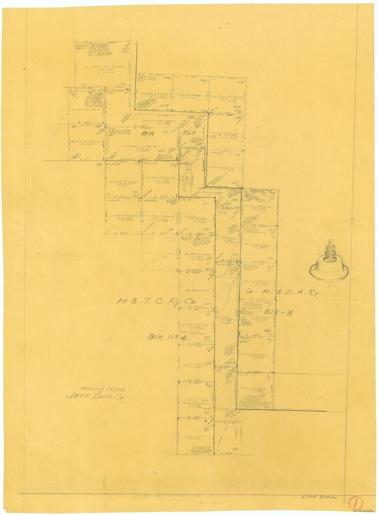
Jeff Davis County Working Sketch 1
-
Map/Doc
66496
-
Collection
General Map Collection
-
Counties
Jeff Davis
-
Subjects
Surveying Working Sketch
-
Height x Width
26.6 x 19.6 inches
67.6 x 49.8 cm
Part of: General Map Collection
Pecos County Rolled Sketch 57

Print $20.00
- Digital $50.00
Pecos County Rolled Sketch 57
1917
Size 24.8 x 35.6 inches
Map/Doc 7230
Martin County Working Sketch 13

Print $40.00
- Digital $50.00
Martin County Working Sketch 13
1971
Size 50.8 x 37.5 inches
Map/Doc 70831
Flight Mission No. DIX-6P, Frame 114, Aransas County

Print $20.00
- Digital $50.00
Flight Mission No. DIX-6P, Frame 114, Aransas County
1956
Size 19.1 x 23.0 inches
Map/Doc 83820
Knox County Sketch File 19

Print $42.00
- Digital $50.00
Knox County Sketch File 19
Size 38.4 x 11.0 inches
Map/Doc 11961
Coryell County

Print $20.00
- Digital $50.00
Coryell County
1880
Size 25.6 x 25.6 inches
Map/Doc 3444
Travis County Working Sketch 47

Print $40.00
- Digital $50.00
Travis County Working Sketch 47
1981
Size 55.5 x 41.8 inches
Map/Doc 69431
San Luis Pass to Matagorda Bay

Print $20.00
- Digital $50.00
San Luis Pass to Matagorda Bay
1946
Size 34.7 x 46.5 inches
Map/Doc 69961
Bastrop County

Print $20.00
- Digital $50.00
Bastrop County
1872
Size 21.1 x 17.4 inches
Map/Doc 3279
Haskell County Working Sketch 6

Print $20.00
- Digital $50.00
Haskell County Working Sketch 6
1949
Size 18.9 x 16.4 inches
Map/Doc 66064
Packery Channel

Print $20.00
- Digital $50.00
Packery Channel
1930
Size 26.6 x 37.1 inches
Map/Doc 2990
Kimble County Working Sketch 36

Print $40.00
- Digital $50.00
Kimble County Working Sketch 36
1946
Size 53.6 x 43.1 inches
Map/Doc 70104
Val Verde County Working Sketch 62

Print $40.00
- Digital $50.00
Val Verde County Working Sketch 62
1959
Size 38.3 x 56.6 inches
Map/Doc 72197
You may also like
Hudspeth County Rolled Sketch 55

Print $49.00
- Digital $50.00
Hudspeth County Rolled Sketch 55
1977
Size 10.0 x 15.0 inches
Map/Doc 45968
In the Supreme Court of the United States, The State of Oklahoma, Complainant vs. The State of Texas, Defendant, The United States of America, Intervener, Red River Valley, Texas and Oklahoma Between the 98th and 100th Meridians in Five Sheets, 1921

Print $40.00
- Digital $50.00
In the Supreme Court of the United States, The State of Oklahoma, Complainant vs. The State of Texas, Defendant, The United States of America, Intervener, Red River Valley, Texas and Oklahoma Between the 98th and 100th Meridians in Five Sheets, 1921
Size 38.3 x 60.1 inches
Map/Doc 75279
Runnels County Rolled Sketch 34

Print $20.00
- Digital $50.00
Runnels County Rolled Sketch 34
1950
Size 30.8 x 35.5 inches
Map/Doc 7521
Uvalde County Working Sketch 38

Print $20.00
- Digital $50.00
Uvalde County Working Sketch 38
1970
Size 33.3 x 30.8 inches
Map/Doc 72108
Wharton County Working Sketch 17

Print $20.00
- Digital $50.00
Wharton County Working Sketch 17
1951
Size 36.1 x 24.2 inches
Map/Doc 72481
Potter County Sketch File 16

Print $38.00
- Digital $50.00
Potter County Sketch File 16
Size 13.0 x 13.9 inches
Map/Doc 34401
Map of Bandera County

Print $20.00
- Digital $50.00
Map of Bandera County
1862
Size 19.0 x 30.1 inches
Map/Doc 3271
Dimmit County Working Sketch 30

Print $20.00
- Digital $50.00
Dimmit County Working Sketch 30
1957
Size 22.2 x 26.0 inches
Map/Doc 68691
Flight Mission No. BQR-22K, Frame 42, Brazoria County

Print $20.00
- Digital $50.00
Flight Mission No. BQR-22K, Frame 42, Brazoria County
1953
Size 18.9 x 22.7 inches
Map/Doc 84126
Borden - Garza County Line as agreed upon in the 118th Judicial District Court, Howard County, Texas Case No. 13,023

Print $40.00
- Digital $50.00
Borden - Garza County Line as agreed upon in the 118th Judicial District Court, Howard County, Texas Case No. 13,023
1965
Size 19.0 x 102.2 inches
Map/Doc 1697
Erath County Sketch File 10

Print $4.00
- Digital $50.00
Erath County Sketch File 10
1871
Size 8.1 x 10.3 inches
Map/Doc 22275
Baylor County Sketch File 10A

Print $40.00
- Digital $50.00
Baylor County Sketch File 10A
Size 19.6 x 29.0 inches
Map/Doc 10905