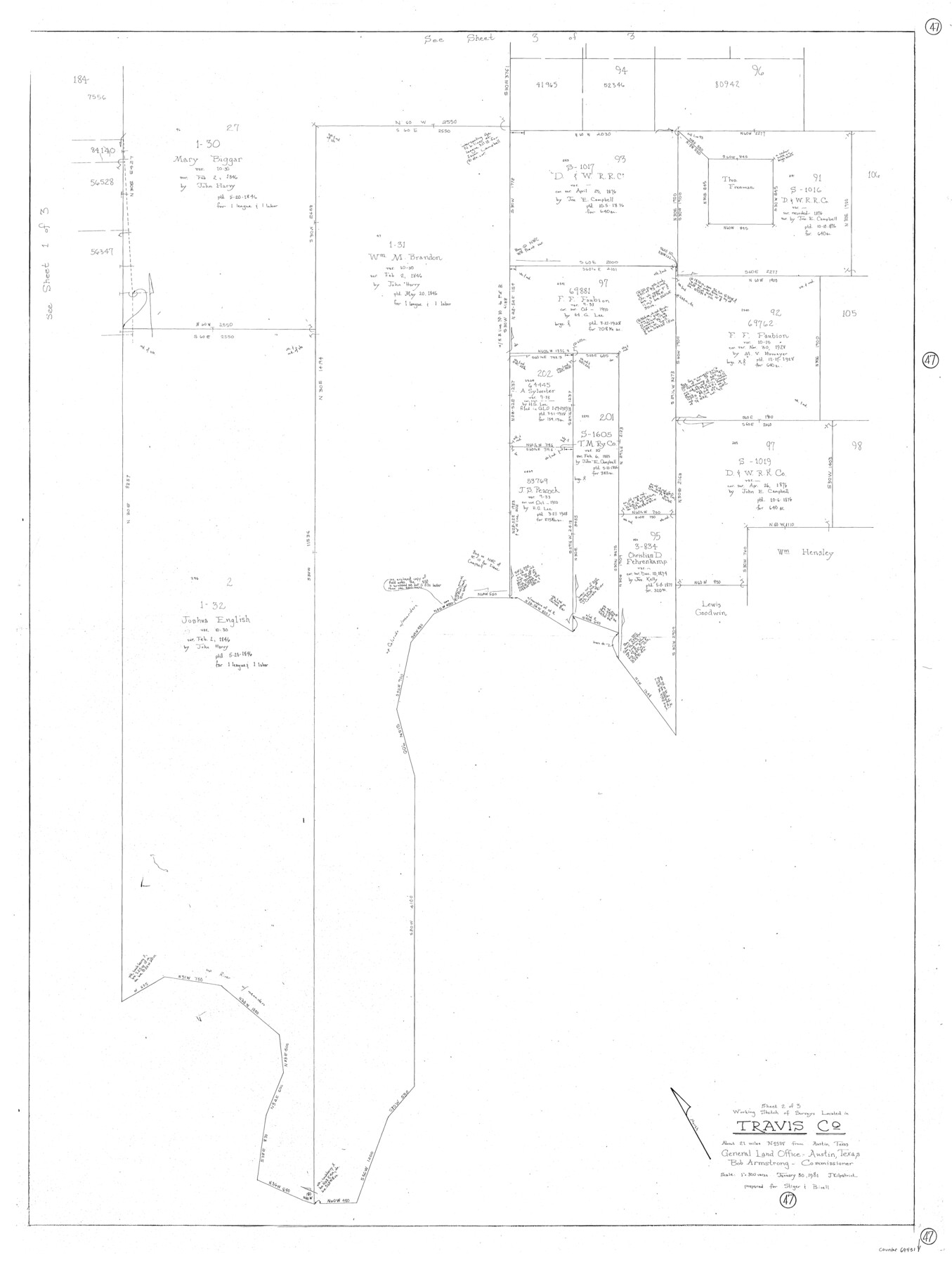
Travis County Working Sketch 47
-
Map/Doc
69431
-
Collection
General Map Collection
-
Object Dates
1/30/1981 (Creation Date)
-
People and Organizations
Joan Kilpatrick (Draftsman)
-
Counties
Travis
-
Subjects
Surveying Working Sketch
-
Height x Width
55.5 x 41.8 inches
141.0 x 106.2 cm
-
Scale
1" = 300 varas
Part of: General Map Collection
Hopkins County Sketch File 4

Print $47.00
- Digital $50.00
Hopkins County Sketch File 4
Size 21.2 x 18.4 inches
Map/Doc 4565

Flight Mission No. BRE-2P, Frame 16, Nueces County

Print $20.00
- Digital $50.00
Flight Mission No. BRE-2P, Frame 16, Nueces County
1956
Size 18.3 x 22.2 inches
Map/Doc 86725
Ector County Working Sketch 31

Print $40.00
- Digital $50.00
Ector County Working Sketch 31
1980
Size 36.0 x 51.0 inches
Map/Doc 68874
Navigation Maps of Gulf Intracoastal Waterway, Port Arthur to Brownsville, Texas

Print $4.00
- Digital $50.00
Navigation Maps of Gulf Intracoastal Waterway, Port Arthur to Brownsville, Texas
1951
Size 16.7 x 21.5 inches
Map/Doc 65424
Culberson County Sketch File 35

Print $34.00
- Digital $50.00
Culberson County Sketch File 35
1959
Size 11.2 x 8.7 inches
Map/Doc 20295
Fort Bend County Working Sketch 21

Print $20.00
- Digital $50.00
Fort Bend County Working Sketch 21
Size 26.9 x 28.6 inches
Map/Doc 69227
Bowie County Working Sketch 18

Print $20.00
- Digital $50.00
Bowie County Working Sketch 18
1962
Size 26.3 x 20.4 inches
Map/Doc 67422
Matagorda Bay Including Lavaca and Tres Palacios Bays

Print $40.00
- Digital $50.00
Matagorda Bay Including Lavaca and Tres Palacios Bays
1982
Size 37.5 x 48.0 inches
Map/Doc 73365
Isogonic Chart for 1950, United States. Including Isoporic Lines

Print $20.00
- Digital $50.00
Isogonic Chart for 1950, United States. Including Isoporic Lines
1950
Size 32.2 x 47.2 inches
Map/Doc 75921
McLennan County Sketch File 17

Print $4.00
- Digital $50.00
McLennan County Sketch File 17
1876
Size 7.9 x 12.7 inches
Map/Doc 31278
Lynn County Boundary File 10

Print $110.00
- Digital $50.00
Lynn County Boundary File 10
Size 14.3 x 8.7 inches
Map/Doc 56709
You may also like
Chambers County Working Sketch 7

Print $20.00
- Digital $50.00
Chambers County Working Sketch 7
1939
Size 30.6 x 39.6 inches
Map/Doc 67990
[Blocks O, H, B, S, RG, and 11]
![91333, [Blocks O, H, B, S, RG, and 11], Twichell Survey Records](https://historictexasmaps.com/wmedia_w700/maps/91333-1.tif.jpg)
Print $20.00
- Digital $50.00
[Blocks O, H, B, S, RG, and 11]
1921
Size 24.9 x 15.3 inches
Map/Doc 91333
Newton County Sketch File 6

Print $4.00
- Digital $50.00
Newton County Sketch File 6
1872
Size 12.4 x 7.9 inches
Map/Doc 32372
Flight Mission No. DQO-8K, Frame 10, Galveston County

Print $20.00
- Digital $50.00
Flight Mission No. DQO-8K, Frame 10, Galveston County
1952
Size 18.7 x 22.4 inches
Map/Doc 85133
Medina County Working Sketch 6

Print $20.00
- Digital $50.00
Medina County Working Sketch 6
1950
Size 20.7 x 21.3 inches
Map/Doc 70921
Oldham County Surveyor's Oath of Office

Print $3.00
Oldham County Surveyor's Oath of Office
1881
Size 15.2 x 9.7 inches
Map/Doc 47716
Upton County Working Sketch 60

Print $20.00
- Digital $50.00
Upton County Working Sketch 60
2012
Size 34.2 x 32.1 inches
Map/Doc 93387
Brazos River, Widths of Floodways/Brazos and Navasota Rivers

Print $20.00
- Digital $50.00
Brazos River, Widths of Floodways/Brazos and Navasota Rivers
1921
Size 38.1 x 24.5 inches
Map/Doc 65292
Traced from Genl. Arista's map captured by the American Army under Genl. Taylor at Resaca de la Palma 9th May '46 and presented to James K. Polk, President U. States

Print $20.00
- Digital $50.00
Traced from Genl. Arista's map captured by the American Army under Genl. Taylor at Resaca de la Palma 9th May '46 and presented to James K. Polk, President U. States
1846
Size 18.1 x 27.3 inches
Map/Doc 73062
Presidio County Rolled Sketch 4

Print $2.00
- Digital $50.00
Presidio County Rolled Sketch 4
Size 10.1 x 6.3 inches
Map/Doc 75984
Map of Panola County

Print $20.00
- Digital $50.00
Map of Panola County
1897
Size 40.5 x 39.0 inches
Map/Doc 16785
El Paso County Working Sketch 33

Print $20.00
- Digital $50.00
El Paso County Working Sketch 33
1974
Size 33.7 x 20.3 inches
Map/Doc 69055