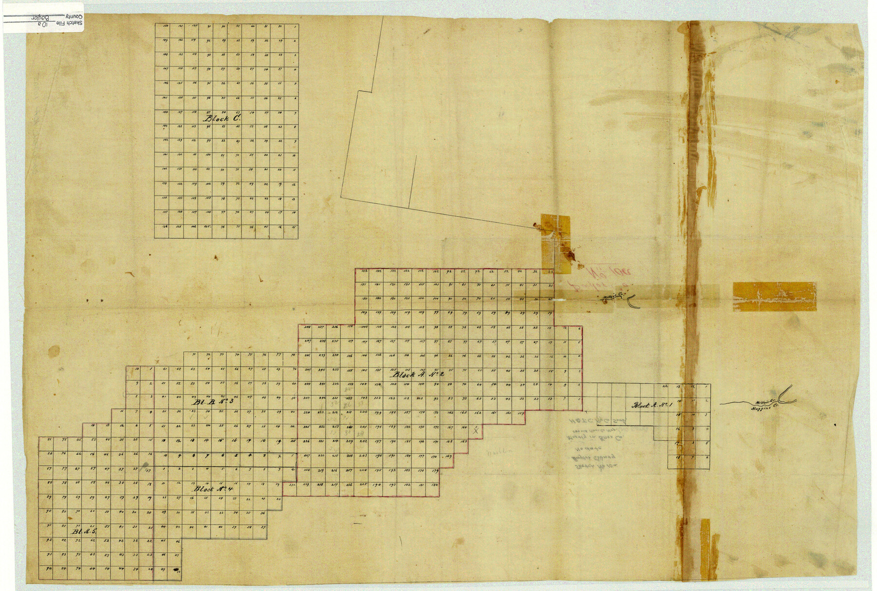
Baylor County Sketch File 10A
[H. & T. C. Ry. Co. surveys in Baylor, Haskell, and Knox Counties]
-
Map/Doc
10905
-
Collection
General Map Collection
-
Counties
Baylor Knox Haskell
-
Subjects
Surveying Sketch File
-
Height x Width
19.6 x 29.0 inches
49.8 x 73.7 cm
-
Medium
paper, manuscript
-
Features
Miller's Creek
Muggin's Creek
Part of: General Map Collection
Starr County Rolled Sketch 16

Print $20.00
- Digital $50.00
Starr County Rolled Sketch 16
1913
Size 18.6 x 21.9 inches
Map/Doc 7801
Jefferson County Rolled Sketch 6

Print $20.00
- Digital $50.00
Jefferson County Rolled Sketch 6
1916
Size 34.2 x 36.7 inches
Map/Doc 9271
Dallas County Boundary File 1

Print $62.00
- Digital $50.00
Dallas County Boundary File 1
Size 4.1 x 3.7 inches
Map/Doc 52084
Harris County Working Sketch 21

Print $20.00
- Digital $50.00
Harris County Working Sketch 21
Size 14.1 x 22.6 inches
Map/Doc 65913
Galveston County Working Sketch 18

Print $20.00
- Digital $50.00
Galveston County Working Sketch 18
1982
Size 18.3 x 19.7 inches
Map/Doc 69355
Jasper County Working Sketch 22

Print $20.00
- Digital $50.00
Jasper County Working Sketch 22
1943
Size 21.0 x 15.4 inches
Map/Doc 66484
Florida et Apalche

Print $20.00
- Digital $50.00
Florida et Apalche
1597
Size 11.2 x 14.4 inches
Map/Doc 94076
Hardeman County Sketch File 26

Print $40.00
- Digital $50.00
Hardeman County Sketch File 26
Size 16.3 x 13.2 inches
Map/Doc 25037
Outer Continental Shelf Leasing Maps (Louisiana Offshore Operations)

Print $20.00
- Digital $50.00
Outer Continental Shelf Leasing Maps (Louisiana Offshore Operations)
1954
Size 15.8 x 10.0 inches
Map/Doc 76109
Shelby County Rolled Sketch 8

Print $20.00
- Digital $50.00
Shelby County Rolled Sketch 8
Size 40.4 x 45.5 inches
Map/Doc 9923
Wheeler County Sketch File 1

Print $20.00
- Digital $50.00
Wheeler County Sketch File 1
Size 17.1 x 26.8 inches
Map/Doc 12672
Montague County Working Sketch 35

Print $20.00
- Digital $50.00
Montague County Working Sketch 35
1980
Size 24.8 x 31.9 inches
Map/Doc 71101
You may also like
Bee County Working Sketch 25

Print $20.00
- Digital $50.00
Bee County Working Sketch 25
1987
Size 38.8 x 26.0 inches
Map/Doc 67275
University Land Field Notes for Block 19 in Loving and Ward Counties, Block 20 in Loving, Ward, and Winkler Counties, Blocks 16 and 18 in Ward County, Block 17 in Ward and Winkler Counties, and Block 21 in Winkler County

University Land Field Notes for Block 19 in Loving and Ward Counties, Block 20 in Loving, Ward, and Winkler Counties, Blocks 16 and 18 in Ward County, Block 17 in Ward and Winkler Counties, and Block 21 in Winkler County
Map/Doc 81709
Map of Texas and part of New Mexico compiled in the Bureau of Topographl. Engrs. chiefly for military purposes

Print $20.00
- Digital $50.00
Map of Texas and part of New Mexico compiled in the Bureau of Topographl. Engrs. chiefly for military purposes
1857
Size 18.8 x 24.8 inches
Map/Doc 97116
[Blocks 34-36, Township 3N]
![92028, [Blocks 34-36, Township 3N], Twichell Survey Records](https://historictexasmaps.com/wmedia_w700/maps/92028-1.tif.jpg)
Print $20.00
- Digital $50.00
[Blocks 34-36, Township 3N]
Size 36.5 x 23.7 inches
Map/Doc 92028
Republic Counties. January 1, 1840

Print $20.00
Republic Counties. January 1, 1840
2020
Size 24.5 x 21.7 inches
Map/Doc 96313
Val Verde County Rolled Sketch 52

Print $20.00
- Digital $50.00
Val Verde County Rolled Sketch 52
1937
Size 31.8 x 23.0 inches
Map/Doc 8121
Travis County

Print $40.00
- Digital $50.00
Travis County
1880
Size 61.7 x 24.0 inches
Map/Doc 87934
Wilbarger County Working Sketch 18

Print $20.00
- Digital $50.00
Wilbarger County Working Sketch 18
1965
Size 42.0 x 46.6 inches
Map/Doc 72556
Terrell County Sketch File 17

Print $13.00
- Digital $50.00
Terrell County Sketch File 17
Size 10.1 x 8.1 inches
Map/Doc 37935
General Highway Map, Walker County, Texas

Print $20.00
General Highway Map, Walker County, Texas
1961
Size 24.7 x 18.1 inches
Map/Doc 79698
Concho County Sketch File 25

Print $8.00
- Digital $50.00
Concho County Sketch File 25
1885
Size 11.4 x 9.0 inches
Map/Doc 19155
Rio Grande, Fernando Sheet

Print $4.00
- Digital $50.00
Rio Grande, Fernando Sheet
1935
Size 20.8 x 25.8 inches
Map/Doc 65114