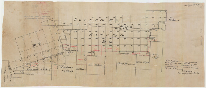
Baylor County Sketch File 11A

Hardeman County Sketch File 1

Knox County Sketch File 28

Knox County Rolled Sketch 14
1892
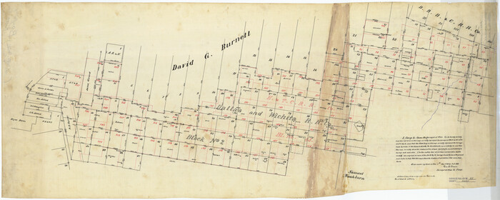
Knox County Rolled Sketch 15
1892

Knox County Rolled Sketch 17
1892

Knox County Rolled Sketch 10

Baylor County Sketch File 10A
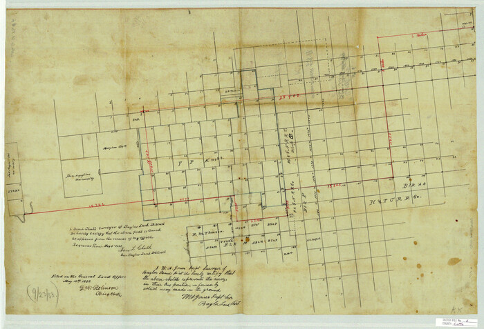
Cottle County Sketch File 6
1883
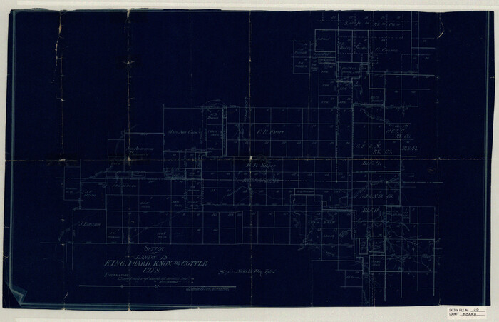
Foard County Sketch File 29

Haskell County Sketch File 20
1902
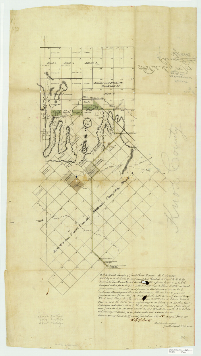
Knox County Sketch File 6A
1881

Knox County Sketch File 7
1885
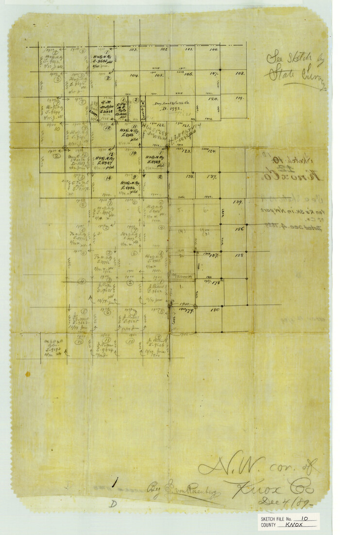
Knox County Sketch File 10
1889
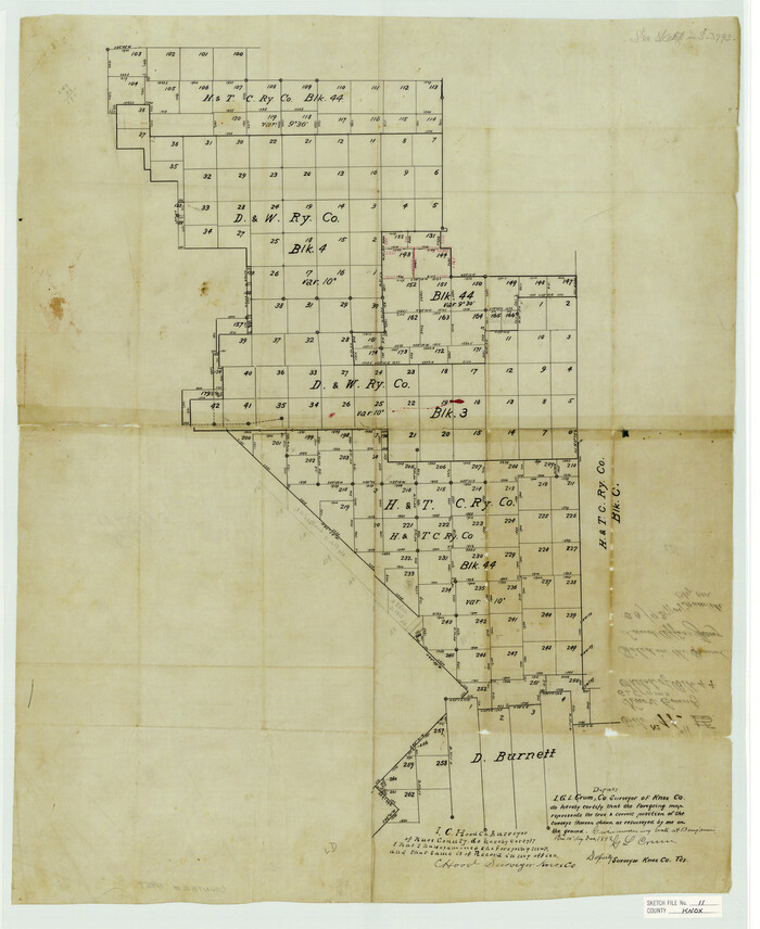
Knox County Sketch File 11
1892

Knox County Sketch File 17
1902
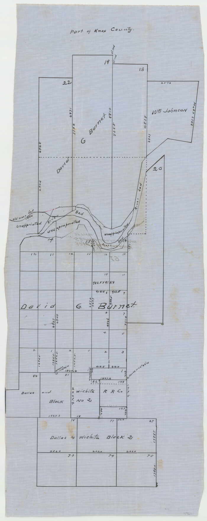
Knox County Sketch File 19
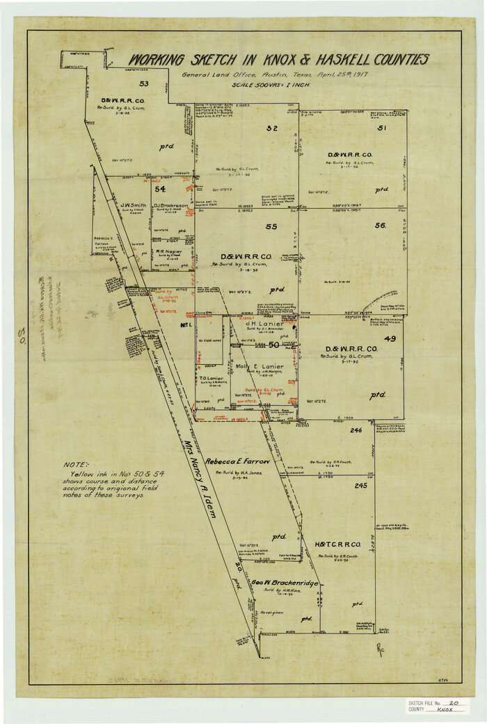
Knox County Sketch File 20
1917

Knox County Sketch File 23
1931
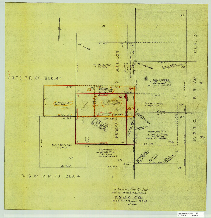
Knox County Sketch File 27
1963
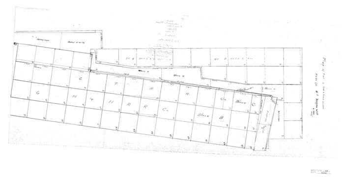
Knox County Sketch File 29

Map of the Surveyed Part of Young District
1860

Foard County Sketch File XX
1884
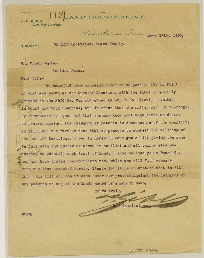
Foard County Sketch File 23
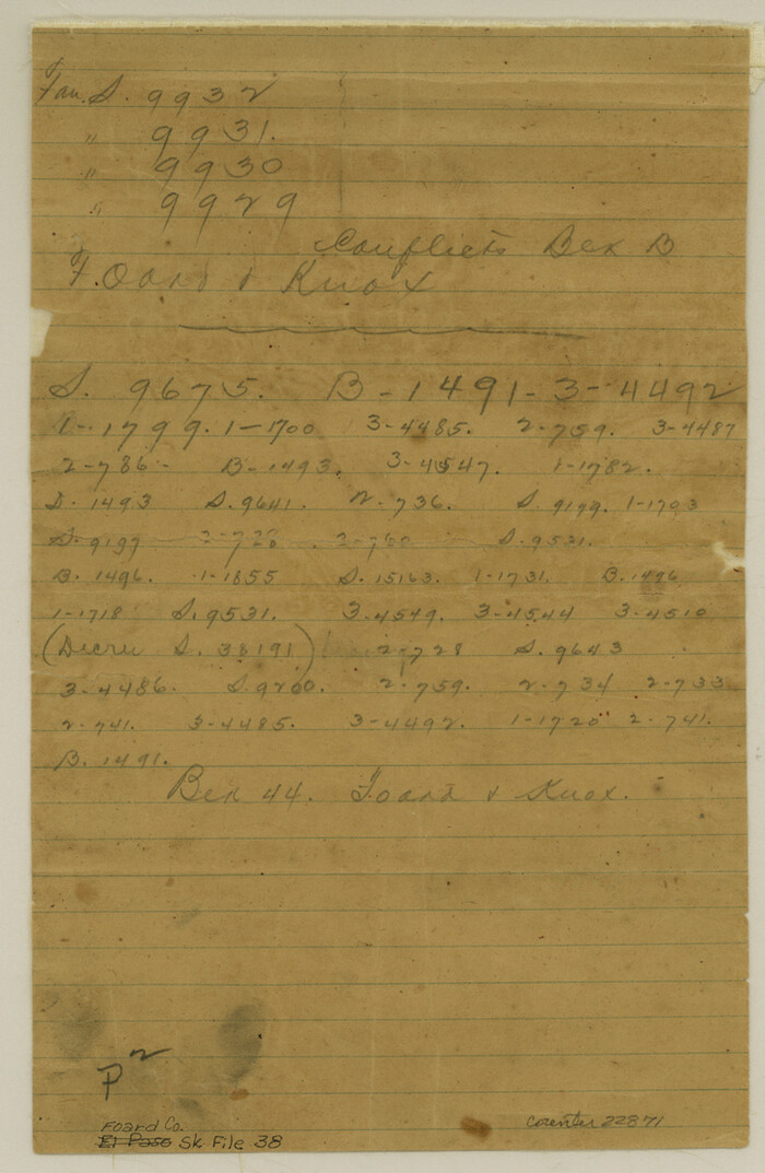
Foard County Sketch File 38
1890

Haskell County Sketch File 1A
Haskell County Sketch File 13

Baylor County Sketch File 11A
-
Size
33.9 x 32.0 inches
-
Map/Doc
10322

Hardeman County Sketch File 1
-
Size
31.0 x 45.7 inches
-
Map/Doc
10477

Knox County Sketch File 28
-
Size
43.4 x 38.3 inches
-
Map/Doc
10516

Knox County Rolled Sketch 14
1892
-
Size
21.8 x 54.9 inches
-
Map/Doc
10666
-
Creation Date
1892

Knox County Rolled Sketch 15
1892
-
Size
21.9 x 54.8 inches
-
Map/Doc
10667
-
Creation Date
1892

Knox County Rolled Sketch 17
1892
-
Size
31.0 x 39.2 inches
-
Map/Doc
10670
-
Creation Date
1892

Knox County Rolled Sketch 10
-
Size
56.6 x 35.6 inches
-
Map/Doc
10718

Baylor County Sketch File 10A
-
Size
19.6 x 29.0 inches
-
Map/Doc
10905

Cottle County Sketch File 6
1883
-
Size
20.3 x 29.8 inches
-
Map/Doc
11190
-
Creation Date
1883

Foard County Sketch File 29
-
Size
18.9 x 29.4 inches
-
Map/Doc
11494

Haskell County Sketch File 20
1902
-
Size
20.9 x 26.2 inches
-
Map/Doc
11743
-
Creation Date
1902

Knox County Sketch File 6A
1881
-
Size
32.3 x 18.2 inches
-
Map/Doc
11954
-
Creation Date
1881

Knox County Sketch File 7
1885
-
Size
32.2 x 19.9 inches
-
Map/Doc
11955
-
Creation Date
1885

Knox County Sketch File 10
1889
-
Size
20.1 x 12.8 inches
-
Map/Doc
11958
-
Creation Date
1889

Knox County Sketch File 11
1892
-
Size
26.8 x 21.9 inches
-
Map/Doc
11959
-
Creation Date
1892

Knox County Sketch File 17
1902
-
Size
18.4 x 25.0 inches
-
Map/Doc
11960
-
Creation Date
1902

Knox County Sketch File 19
-
Size
38.4 x 11.0 inches
-
Map/Doc
11961

Knox County Sketch File 20
1917
-
Size
26.2 x 17.6 inches
-
Map/Doc
11962
-
Creation Date
1917

Knox County Sketch File 23
1931
-
Size
21.4 x 15.3 inches
-
Map/Doc
11963
-
Creation Date
1931

Knox County Sketch File 27
1963
-
Size
20.3 x 19.7 inches
-
Map/Doc
11964
-
Creation Date
1963

Knox County Sketch File 29
-
Size
18.6 x 36.1 inches
-
Map/Doc
11965

Knox County
1875
-
Size
19.7 x 25.1 inches
-
Map/Doc
1231
-
Creation Date
1875
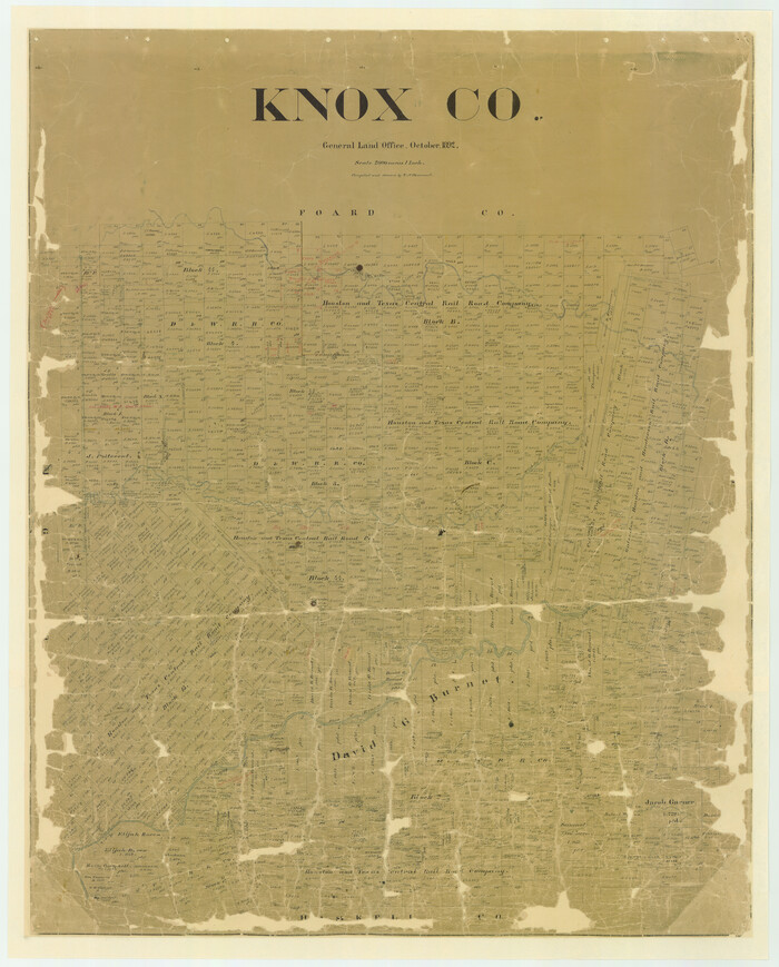
Knox Co.
1892
-
Size
43.6 x 35.0 inches
-
Map/Doc
16870
-
Creation Date
1892
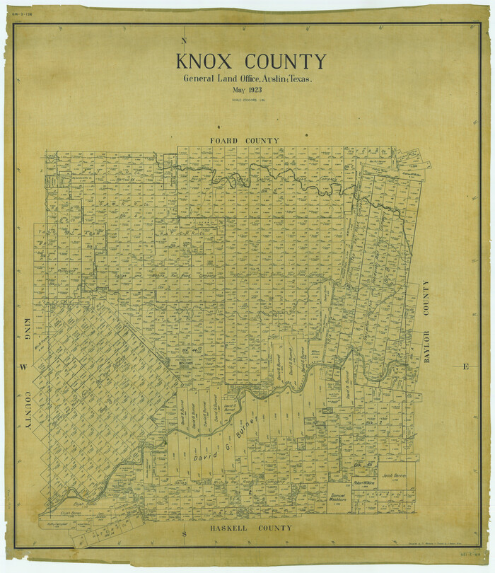
Knox County
1923
-
Size
46.1 x 39.8 inches
-
Map/Doc
1879
-
Creation Date
1923

Map of the Surveyed Part of Young District
1860
-
Size
56.2 x 54.7 inches
-
Map/Doc
1986
-
Creation Date
1860

Foard County Sketch File XX
1884
-
Size
14.0 x 16.4 inches
-
Map/Doc
22802
-
Creation Date
1884

Foard County Sketch File 23
-
Size
11.3 x 9.0 inches
-
Map/Doc
22846

Foard County Sketch File 38
1890
-
Size
11.1 x 7.2 inches
-
Map/Doc
22871
-
Creation Date
1890

Haskell County Sketch File 1A
-
Size
12.3 x 14.5 inches
-
Map/Doc
26119

Haskell County Sketch File 13
-
Size
8.1 x 4.0 inches
-
Map/Doc
26142