
Knox County Working Sketch 20
2012
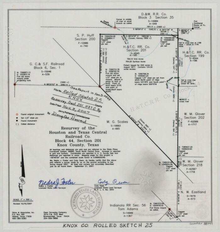
Knox County Rolled Sketch 25
2007

Knox County Rolled Sketch 24
2007

Knox County Rolled Sketch 26
2007
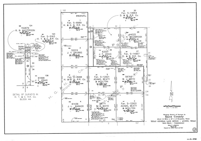
Knox County Working Sketch 19
1992
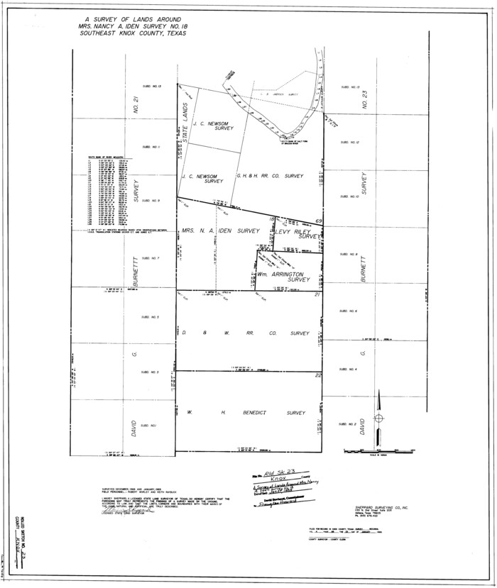
Knox County Rolled Sketch 23
1989
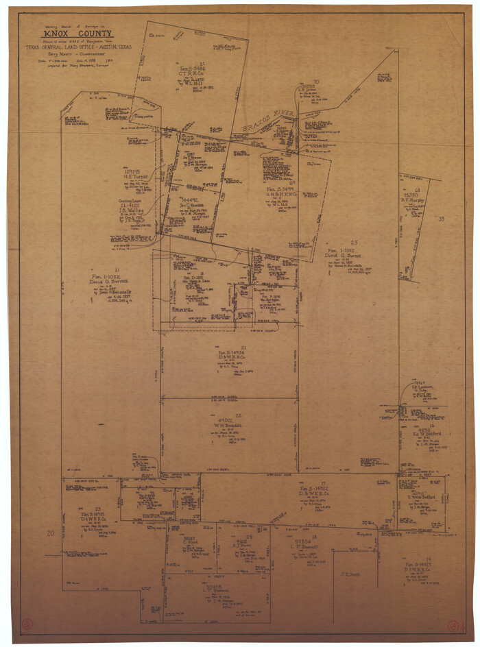
Knox County Working Sketch 18
1988

Haskell County Working Sketch 16
1986

Foard County Working Sketch 8
1975
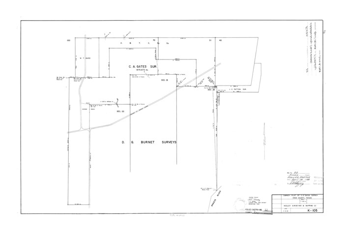
Knox County Rolled Sketch 22
1968
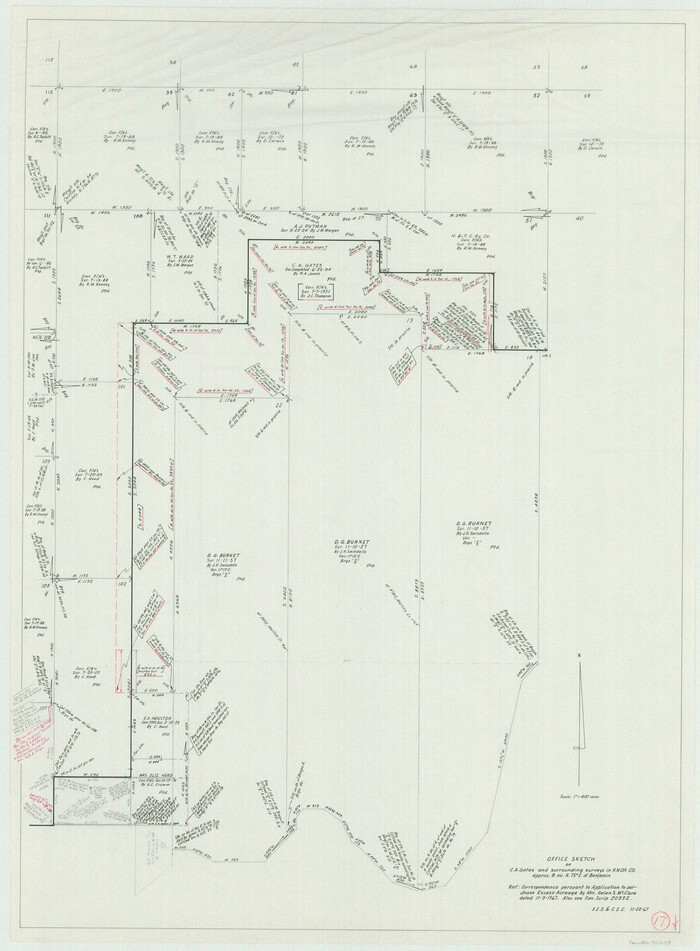
Knox County Working Sketch 17
1967
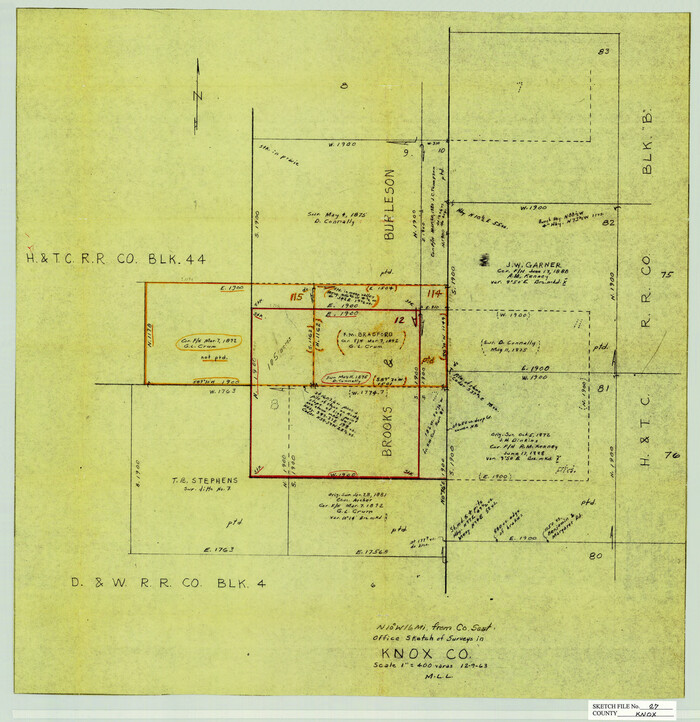
Knox County Sketch File 27
1963
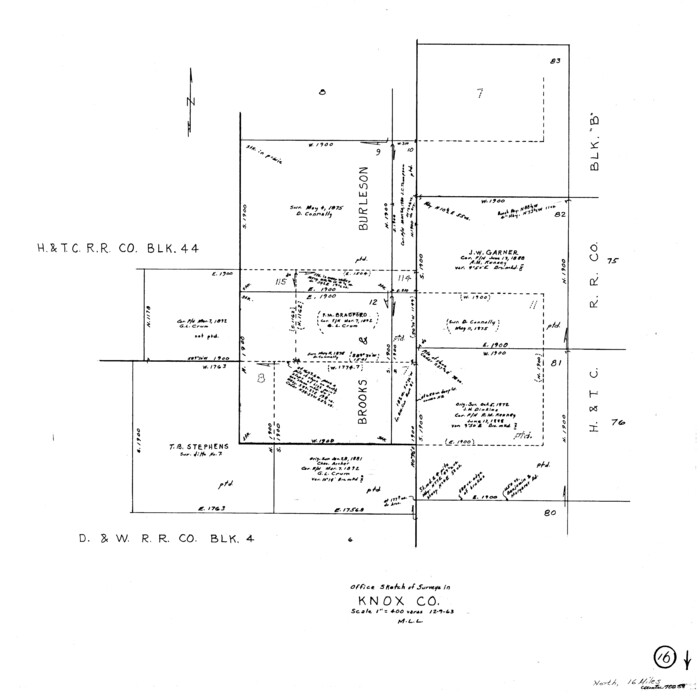
Knox County Working Sketch 16
1963
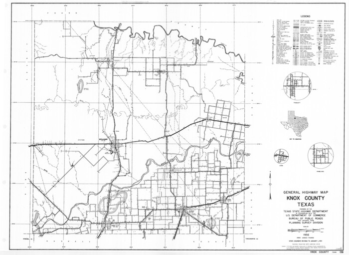
General Highway Map, Knox County, Texas
1961
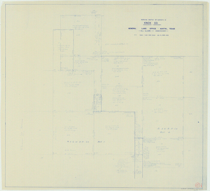
Knox County Working Sketch 15
1958

Knox County Sketch File 26
1957
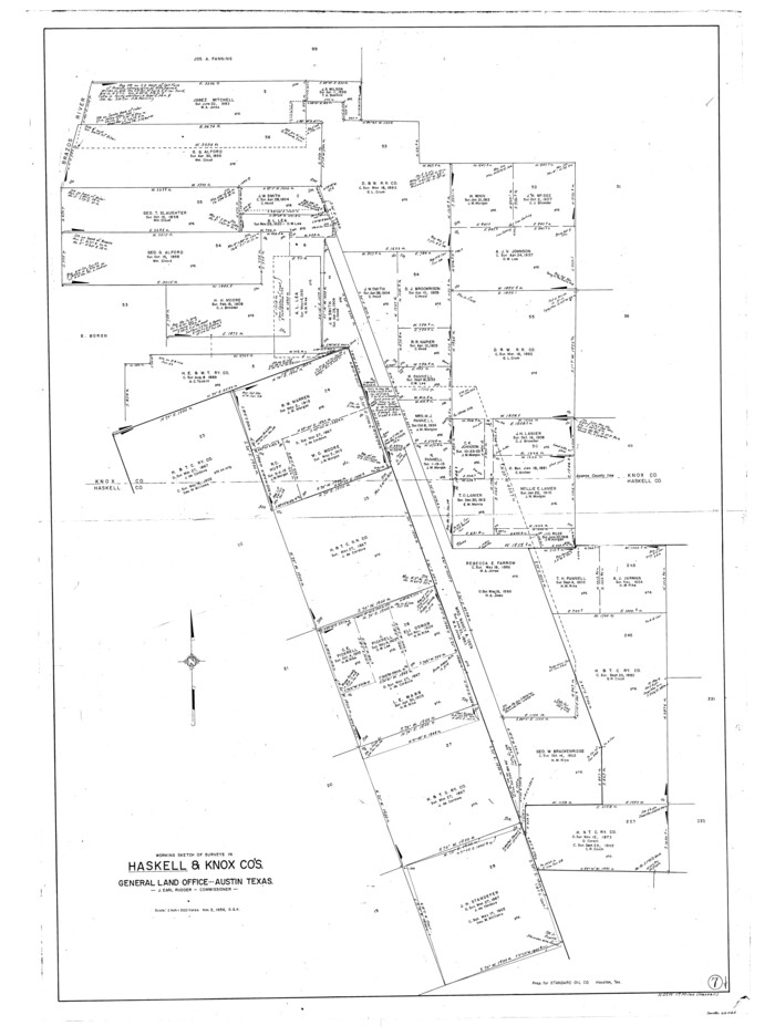
Haskell County Working Sketch 7
1956

Knox County Rolled Sketch 21
1955

Knox County Working Sketch 14
1953

Knox County Working Sketch 13
1953
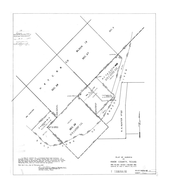
Knox County Rolled Sketch 19
1952

Stonewall County Rolled Sketch 20
1951

Knox County Working Sketch 12
1951
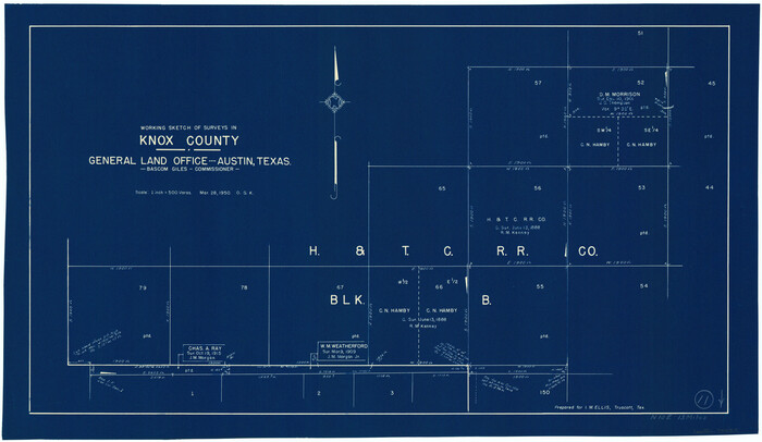
Knox County Working Sketch 11
1950

Knox County Sketch File 24
1945

Knox County Rolled Sketch 18
1945
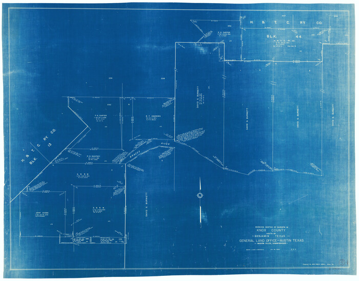
Knox County Working Sketch 9
1945
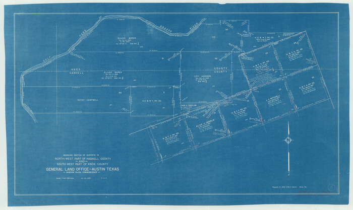
Haskell County Working Sketch 5
1945
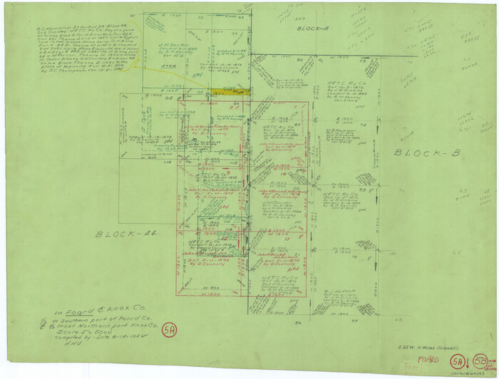
Foard County Working Sketch 5a
1942
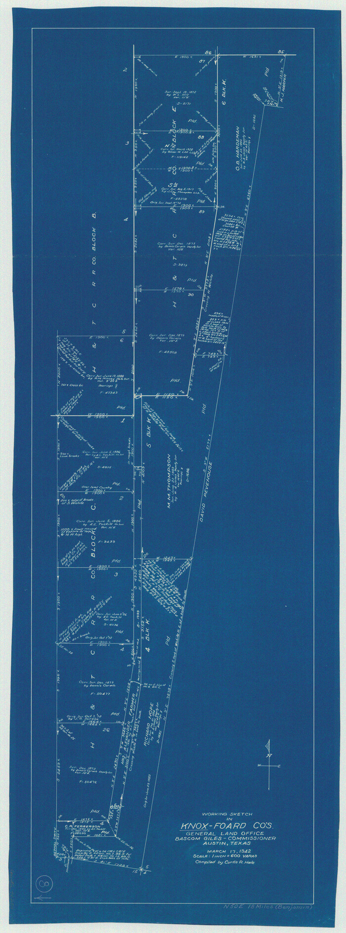
Knox County Working Sketch 8
1942

Knox County Working Sketch 20
2012
-
Size
40.2 x 36.9 inches
-
Map/Doc
93389
-
Creation Date
2012

Knox County Rolled Sketch 25
2007
-
Size
11.4 x 10.8 inches
-
Map/Doc
88749
-
Creation Date
2007

Knox County Rolled Sketch 24
2007
-
Size
28.5 x 34.5 inches
-
Map/Doc
87722
-
Creation Date
2007

Knox County Rolled Sketch 26
2007
-
Size
36.8 x 24.7 inches
-
Map/Doc
88822
-
Creation Date
2007

Knox County Working Sketch 19
1992
-
Size
25.0 x 35.6 inches
-
Map/Doc
70261
-
Creation Date
1992

Knox County Rolled Sketch 23
1989
-
Size
34.4 x 29.0 inches
-
Map/Doc
76408
-
Creation Date
1989

Knox County Working Sketch 18
1988
-
Size
40.0 x 29.7 inches
-
Map/Doc
70260
-
Creation Date
1988

Haskell County Working Sketch 16
1986
-
Size
37.9 x 47.3 inches
-
Map/Doc
66074
-
Creation Date
1986

Foard County Working Sketch 8
1975
-
Size
57.0 x 40.0 inches
-
Map/Doc
69199
-
Creation Date
1975

Knox County Rolled Sketch 22
1968
-
Size
25.4 x 37.6 inches
-
Map/Doc
6562
-
Creation Date
1968

Knox County Working Sketch 17
1967
-
Size
36.8 x 27.1 inches
-
Map/Doc
70259
-
Creation Date
1967

Knox County Sketch File 27
1963
-
Size
20.3 x 19.7 inches
-
Map/Doc
11964
-
Creation Date
1963

Knox County Working Sketch 16
1963
-
Size
21.9 x 22.0 inches
-
Map/Doc
70258
-
Creation Date
1963

General Highway Map, Knox County, Texas
1961
-
Size
18.2 x 24.9 inches
-
Map/Doc
79560
-
Creation Date
1961

Knox County Working Sketch 15
1958
-
Size
29.5 x 32.4 inches
-
Map/Doc
70257
-
Creation Date
1958

Knox County Sketch File 26
1957
-
Size
17.3 x 14.4 inches
-
Map/Doc
29262
-
Creation Date
1957

Haskell County Working Sketch 7
1956
-
Size
52.1 x 39.0 inches
-
Map/Doc
66065
-
Creation Date
1956

Knox County Rolled Sketch 21
1955
-
Size
18.0 x 36.4 inches
-
Map/Doc
6561
-
Creation Date
1955

Knox County Working Sketch 14
1953
-
Size
21.7 x 31.1 inches
-
Map/Doc
70256
-
Creation Date
1953

Knox County Working Sketch 13
1953
-
Size
9.6 x 11.0 inches
-
Map/Doc
70255
-
Creation Date
1953

Knox County Rolled Sketch 19
1952
-
Size
27.3 x 24.9 inches
-
Map/Doc
6559
-
Creation Date
1952

Stonewall County Rolled Sketch 20
1951
-
Size
30.1 x 55.4 inches
-
Map/Doc
63915
-
Creation Date
1951

Knox County Working Sketch 12
1951
-
Size
26.2 x 23.5 inches
-
Map/Doc
70254
-
Creation Date
1951

Knox County Working Sketch 11
1950
-
Size
16.8 x 29.0 inches
-
Map/Doc
70253
-
Creation Date
1950

Knox County Sketch File 24
1945
-
Size
14.2 x 9.0 inches
-
Map/Doc
29254
-
Creation Date
1945

Knox County Rolled Sketch 18
1945
-
Size
23.1 x 29.5 inches
-
Map/Doc
6558
-
Creation Date
1945

Knox County Working Sketch 9
1945
-
Size
33.8 x 43.3 inches
-
Map/Doc
70251
-
Creation Date
1945

Haskell County Working Sketch 5
1945
-
Size
22.2 x 37.2 inches
-
Map/Doc
66063
-
Creation Date
1945

Foard County Working Sketch 5a
1942
-
Size
18.4 x 24.2 inches
-
Map/Doc
69195
-
Creation Date
1942

Knox County Working Sketch 8
1942
-
Size
38.7 x 14.3 inches
-
Map/Doc
70250
-
Creation Date
1942