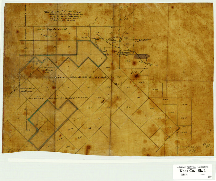
[Surveying Sketch of John Poitevent Block 1, Railroad Lands, et al in Knox County, Texas]
Print $3.00
- Digital $50.00
[Surveying Sketch of John Poitevent Block 1, Railroad Lands, et al in Knox County, Texas]
Size: 11.9 x 14.2 inches
414
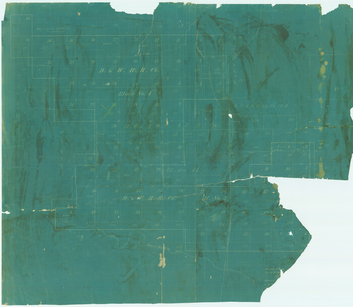
[Sketch of surveys in Knox County]
Print $20.00
- Digital $50.00
[Sketch of surveys in Knox County]
Size: 27.1 x 31.1 inches
555
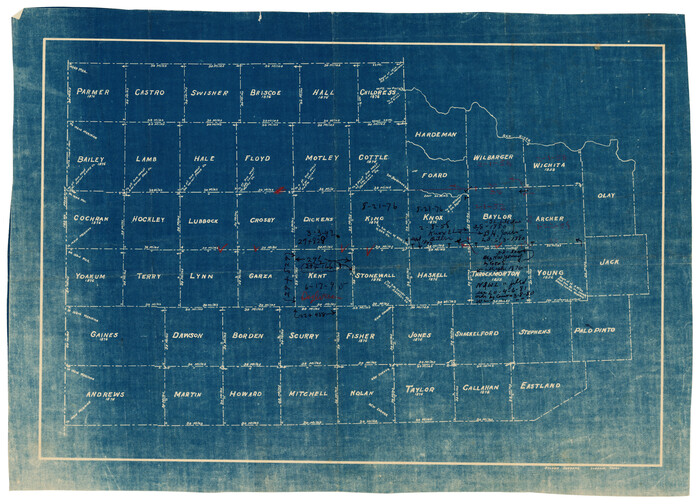
[Map of Counties South of Panhandle from Parmer to Childress in North to Andrews to Eastland in the South]
Print $3.00
- Digital $50.00
[Map of Counties South of Panhandle from Parmer to Childress in North to Andrews to Eastland in the South]
Size: 14.9 x 10.7 inches
92098
[Knox County Blk. 44, H&TC]
![89463, [Knox County Blk. 44, H&TC], Barnes Railroad Collection](https://historictexasmaps.com/wmedia_w700/pdf_converted_jpg/qi_pdf_thumbnail_34701.jpg)
Print $42.00
- Digital $50.00
[Knox County Blk. 44, H&TC]
1892
Size: 20.7 x 21.9 inches
89463
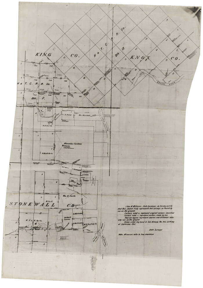
[King, Knox & Stonewall Counties]
Print $20.00
- Digital $50.00
[King, Knox & Stonewall Counties]
1902
Size: 19.6 x 28.1 inches
92916
[King, Knox & Stonewall Counties]
Print $20.00
- Digital $50.00
[King, Knox & Stonewall Counties]
1902
Size: 19.6 x 28.2 inches
92917
Stonewall County Rolled Sketch 20

Print $40.00
- Digital $50.00
Stonewall County Rolled Sketch 20
1951
Size: 30.1 x 55.4 inches
63915
Sketch of Surveys in Knox County

Print $20.00
- Digital $50.00
Sketch of Surveys in Knox County
1896
Size: 17.6 x 31.2 inches
75788
Sketch of Block B, GH & H RR & Blk C, CT RR Co, with surrounding & conflicting surveys in Knox & Baylor Counties

Print $20.00
- Digital $50.00
Sketch of Block B, GH & H RR & Blk C, CT RR Co, with surrounding & conflicting surveys in Knox & Baylor Counties
Size: 24.9 x 17.9 inches
75784
Plat of 92 Surveys Containing 51,365 acres on the Main Brazos River, Texas ,Young Land District

Print $20.00
- Digital $50.00
Plat of 92 Surveys Containing 51,365 acres on the Main Brazos River, Texas ,Young Land District
1857
Size: 23.4 x 31.0 inches
551
Map of the Surveyed Part of Young District

Print $40.00
- Digital $50.00
Map of the Surveyed Part of Young District
1860
Size: 56.2 x 54.7 inches
1986
Map of the Surveyed Part of Young District

Print $40.00
- Digital $50.00
Map of the Surveyed Part of Young District
1860
Size: 56.3 x 32.6 inches
87373
Map of the Surveyed Part of Young District

Print $40.00
- Digital $50.00
Map of the Surveyed Part of Young District
1860
Size: 56.3 x 27.3 inches
87374
Knox County, Texas

Print $20.00
- Digital $50.00
Knox County, Texas
1880
Size: 27.7 x 23.4 inches
550
Knox County Working Sketch Graphic Index

Print $20.00
- Digital $50.00
Knox County Working Sketch Graphic Index
1923
Size: 44.8 x 39.4 inches
76611
Knox County Working Sketch 9

Print $20.00
- Digital $50.00
Knox County Working Sketch 9
1945
Size: 33.8 x 43.3 inches
70251
Knox County Working Sketch 8

Print $20.00
- Digital $50.00
Knox County Working Sketch 8
1942
Size: 38.7 x 14.3 inches
70250
Knox County Working Sketch 7

Print $3.00
- Digital $50.00
Knox County Working Sketch 7
1941
Size: 11.1 x 9.1 inches
70249
Knox County Working Sketch 6

Print $20.00
- Digital $50.00
Knox County Working Sketch 6
1937
Size: 31.4 x 18.2 inches
70248
Knox County Working Sketch 5

Print $20.00
- Digital $50.00
Knox County Working Sketch 5
1919
Size: 27.1 x 23.2 inches
70247
Knox County Working Sketch 4

Print $20.00
- Digital $50.00
Knox County Working Sketch 4
1919
Size: 18.0 x 25.6 inches
70246
Knox County Working Sketch 3

Print $20.00
- Digital $50.00
Knox County Working Sketch 3
1917
Size: 25.0 x 17.0 inches
70245
Knox County Working Sketch 20

Print $20.00
- Digital $50.00
Knox County Working Sketch 20
2012
Size: 40.2 x 36.9 inches
93389
Knox County Working Sketch 2

Print $20.00
- Digital $50.00
Knox County Working Sketch 2
1913
Size: 22.7 x 14.2 inches
70244
Knox County Working Sketch 19

Print $20.00
- Digital $50.00
Knox County Working Sketch 19
1992
Size: 25.0 x 35.6 inches
70261
Knox County Working Sketch 18

Print $20.00
- Digital $50.00
Knox County Working Sketch 18
1988
Size: 40.0 x 29.7 inches
70260
Knox County Working Sketch 17

Print $20.00
- Digital $50.00
Knox County Working Sketch 17
1967
Size: 36.8 x 27.1 inches
70259
Knox County Working Sketch 16

Print $20.00
- Digital $50.00
Knox County Working Sketch 16
1963
Size: 21.9 x 22.0 inches
70258
[Surveying Sketch of John Poitevent Block 1, Railroad Lands, et al in Knox County, Texas]
Print $3.00
- Digital $50.00
[Surveying Sketch of John Poitevent Block 1, Railroad Lands, et al in Knox County, Texas]
-
Size
11.9 x 14.2 inches
-
Map/Doc
414
[Sketch of surveys in Knox County]
Print $20.00
- Digital $50.00
[Sketch of surveys in Knox County]
-
Size
27.1 x 31.1 inches
-
Map/Doc
555
[Map of Counties South of Panhandle from Parmer to Childress in North to Andrews to Eastland in the South]
Print $3.00
- Digital $50.00
[Map of Counties South of Panhandle from Parmer to Childress in North to Andrews to Eastland in the South]
-
Size
14.9 x 10.7 inches
-
Map/Doc
92098
[Knox County Blk. 44, H&TC]
Print $42.00
- Digital $50.00
[Knox County Blk. 44, H&TC]
1892
-
Size
20.7 x 21.9 inches
-
Map/Doc
89463
-
Creation Date
1892
[King, Knox & Stonewall Counties]
Print $20.00
- Digital $50.00
[King, Knox & Stonewall Counties]
1902
-
Size
19.6 x 28.1 inches
-
Map/Doc
92916
-
Creation Date
1902
[King, Knox & Stonewall Counties]
Print $20.00
- Digital $50.00
[King, Knox & Stonewall Counties]
1902
-
Size
19.6 x 28.2 inches
-
Map/Doc
92917
-
Creation Date
1902
Stonewall County Rolled Sketch 20
Print $40.00
- Digital $50.00
Stonewall County Rolled Sketch 20
1951
-
Size
30.1 x 55.4 inches
-
Map/Doc
63915
-
Creation Date
1951
Stonewall County

Print $20.00
- Digital $50.00
Stonewall County
1888
-
Size
17.8 x 24.6 inches
-
Map/Doc
89055
-
Creation Date
1888
Stonewall County

Print $40.00
- Digital $50.00
Stonewall County
1888
-
Size
56.1 x 55.2 inches
-
Map/Doc
89056
-
Creation Date
1888
Sketch of Surveys in Knox County
Print $20.00
- Digital $50.00
Sketch of Surveys in Knox County
1896
-
Size
17.6 x 31.2 inches
-
Map/Doc
75788
-
Creation Date
1896
Sketch of Block B, GH & H RR & Blk C, CT RR Co, with surrounding & conflicting surveys in Knox & Baylor Counties
Print $20.00
- Digital $50.00
Sketch of Block B, GH & H RR & Blk C, CT RR Co, with surrounding & conflicting surveys in Knox & Baylor Counties
-
Size
24.9 x 17.9 inches
-
Map/Doc
75784
Plat of 92 Surveys Containing 51,365 acres on the Main Brazos River, Texas ,Young Land District
Print $20.00
- Digital $50.00
Plat of 92 Surveys Containing 51,365 acres on the Main Brazos River, Texas ,Young Land District
1857
-
Size
23.4 x 31.0 inches
-
Map/Doc
551
-
Creation Date
1857
Map of the Surveyed Part of Young District
Print $40.00
- Digital $50.00
Map of the Surveyed Part of Young District
1860
-
Size
56.2 x 54.7 inches
-
Map/Doc
1986
-
Creation Date
1860
Map of the Surveyed Part of Young District
Print $40.00
- Digital $50.00
Map of the Surveyed Part of Young District
1860
-
Size
56.3 x 32.6 inches
-
Map/Doc
87373
-
Creation Date
1860
Map of the Surveyed Part of Young District
Print $40.00
- Digital $50.00
Map of the Surveyed Part of Young District
1860
-
Size
56.3 x 27.3 inches
-
Map/Doc
87374
-
Creation Date
1860
Knox County, Texas
Print $20.00
- Digital $50.00
Knox County, Texas
1880
-
Size
27.7 x 23.4 inches
-
Map/Doc
550
-
Creation Date
1880
Knox County Working Sketch Graphic Index
Print $20.00
- Digital $50.00
Knox County Working Sketch Graphic Index
1923
-
Size
44.8 x 39.4 inches
-
Map/Doc
76611
-
Creation Date
1923
Knox County Working Sketch 9
Print $20.00
- Digital $50.00
Knox County Working Sketch 9
1945
-
Size
33.8 x 43.3 inches
-
Map/Doc
70251
-
Creation Date
1945
Knox County Working Sketch 8
Print $20.00
- Digital $50.00
Knox County Working Sketch 8
1942
-
Size
38.7 x 14.3 inches
-
Map/Doc
70250
-
Creation Date
1942
Knox County Working Sketch 7
Print $3.00
- Digital $50.00
Knox County Working Sketch 7
1941
-
Size
11.1 x 9.1 inches
-
Map/Doc
70249
-
Creation Date
1941
Knox County Working Sketch 6
Print $20.00
- Digital $50.00
Knox County Working Sketch 6
1937
-
Size
31.4 x 18.2 inches
-
Map/Doc
70248
-
Creation Date
1937
Knox County Working Sketch 5
Print $20.00
- Digital $50.00
Knox County Working Sketch 5
1919
-
Size
27.1 x 23.2 inches
-
Map/Doc
70247
-
Creation Date
1919
Knox County Working Sketch 4
Print $20.00
- Digital $50.00
Knox County Working Sketch 4
1919
-
Size
18.0 x 25.6 inches
-
Map/Doc
70246
-
Creation Date
1919
Knox County Working Sketch 3
Print $20.00
- Digital $50.00
Knox County Working Sketch 3
1917
-
Size
25.0 x 17.0 inches
-
Map/Doc
70245
-
Creation Date
1917
Knox County Working Sketch 20
Print $20.00
- Digital $50.00
Knox County Working Sketch 20
2012
-
Size
40.2 x 36.9 inches
-
Map/Doc
93389
-
Creation Date
2012
Knox County Working Sketch 2
Print $20.00
- Digital $50.00
Knox County Working Sketch 2
1913
-
Size
22.7 x 14.2 inches
-
Map/Doc
70244
-
Creation Date
1913
Knox County Working Sketch 19
Print $20.00
- Digital $50.00
Knox County Working Sketch 19
1992
-
Size
25.0 x 35.6 inches
-
Map/Doc
70261
-
Creation Date
1992
Knox County Working Sketch 18
Print $20.00
- Digital $50.00
Knox County Working Sketch 18
1988
-
Size
40.0 x 29.7 inches
-
Map/Doc
70260
-
Creation Date
1988
Knox County Working Sketch 17
Print $20.00
- Digital $50.00
Knox County Working Sketch 17
1967
-
Size
36.8 x 27.1 inches
-
Map/Doc
70259
-
Creation Date
1967
Knox County Working Sketch 16
Print $20.00
- Digital $50.00
Knox County Working Sketch 16
1963
-
Size
21.9 x 22.0 inches
-
Map/Doc
70258
-
Creation Date
1963