Baylor County Sketch File 11A

Print $40.00
- Digital $50.00
Baylor County Sketch File 11A
Size: 33.9 x 32.0 inches
10322
Hardeman County Sketch File 1

Print $20.00
- Digital $50.00
Hardeman County Sketch File 1
Size: 31.0 x 45.7 inches
10477
Knox County Sketch File 28

Print $20.00
- Digital $50.00
Knox County Sketch File 28
Size: 43.4 x 38.3 inches
10516
Knox County Rolled Sketch 10

Print $40.00
- Digital $50.00
Knox County Rolled Sketch 10
Size: 56.6 x 35.6 inches
10718
Baylor County Sketch File 10A

Print $40.00
- Digital $50.00
Baylor County Sketch File 10A
Size: 19.6 x 29.0 inches
10905
Foard County Sketch File 29

Print $20.00
- Digital $50.00
Foard County Sketch File 29
Size: 18.9 x 29.4 inches
11494
Knox County Sketch File 19

Print $42.00
- Digital $50.00
Knox County Sketch File 19
Size: 38.4 x 11.0 inches
11961
Knox County Sketch File 29

Print $20.00
- Digital $50.00
Knox County Sketch File 29
Size: 18.6 x 36.1 inches
11965
Foard County Sketch File 23

Print $32.00
- Digital $50.00
Foard County Sketch File 23
Size: 11.3 x 9.0 inches
22846
Haskell County Sketch File 1A

Print $40.00
- Digital $50.00
Haskell County Sketch File 1A
Size: 12.3 x 14.5 inches
26119
Haskell County Sketch File 13

Print $37.00
- Digital $50.00
Haskell County Sketch File 13
Size: 8.1 x 4.0 inches
26142
Knox County Sketch File 16

Print $4.00
- Digital $50.00
Knox County Sketch File 16
Size: 14.0 x 8.8 inches
29241

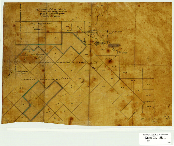
[Surveying Sketch of John Poitevent Block 1, Railroad Lands, et al in Knox County, Texas]
Print $3.00
- Digital $50.00
[Surveying Sketch of John Poitevent Block 1, Railroad Lands, et al in Knox County, Texas]
Size: 11.9 x 14.2 inches
414
Baylor County Rolled Sketch 11

Print $20.00
- Digital $50.00
Baylor County Rolled Sketch 11
Size: 19.4 x 19.9 inches
5128
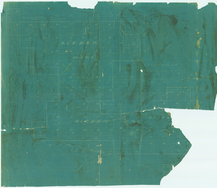
[Sketch of surveys in Knox County]
Print $20.00
- Digital $50.00
[Sketch of surveys in Knox County]
Size: 27.1 x 31.1 inches
555
Haskell County Rolled Sketch 9

Print $20.00
- Digital $50.00
Haskell County Rolled Sketch 9
Size: 16.4 x 34.3 inches
6168
Knox County Rolled Sketch 10A

Print $20.00
- Digital $50.00
Knox County Rolled Sketch 10A
Size: 40.8 x 36.8 inches
61734
Knox County Boundary File 1

Print $24.00
- Digital $50.00
Knox County Boundary File 1
Size: 14.2 x 8.6 inches
64998
Knox County Boundary File 1a

Print $16.00
- Digital $50.00
Knox County Boundary File 1a
Size: 9.7 x 13.8 inches
65010
Knox County Boundary File 2

Print $40.00
- Digital $50.00
Knox County Boundary File 2
Size: 31.1 x 34.1 inches
65017
Knox County Boundary File 3

Print $54.00
- Digital $50.00
Knox County Boundary File 3
Size: 8.9 x 7.7 inches
65019
Knox County Boundary File 4

Print $7.00
- Digital $50.00
Knox County Boundary File 4
Size: 17.0 x 11.0 inches
65037
Knox County Boundary File 5

Print $14.00
- Digital $50.00
Knox County Boundary File 5
Size: 14.2 x 8.6 inches
65040
Knox County Boundary File 5a

Print $22.00
- Digital $50.00
Knox County Boundary File 5a
Size: 15.6 x 38.5 inches
65047
Knox County Boundary File 6

Print $4.00
- Digital $50.00
Knox County Boundary File 6
Size: 11.4 x 8.7 inches
65049
Knox County Boundary File 104

Print $10.00
- Digital $50.00
Knox County Boundary File 104
Size: 9.2 x 7.4 inches
65051
Knox County Rolled Sketch 7

Print $20.00
- Digital $50.00
Knox County Rolled Sketch 7
Size: 25.5 x 39.9 inches
6556
Knox County Rolled Sketch 11

Print $20.00
- Digital $50.00
Knox County Rolled Sketch 11
Size: 24.4 x 17.3 inches
6557
Knox County Rolled Sketch 20

Print $20.00
- Digital $50.00
Knox County Rolled Sketch 20
Size: 31.5 x 23.3 inches
6560
Baylor County Sketch File 11A
Print $40.00
- Digital $50.00
Baylor County Sketch File 11A
-
Size
33.9 x 32.0 inches
-
Map/Doc
10322
Hardeman County Sketch File 1
Print $20.00
- Digital $50.00
Hardeman County Sketch File 1
-
Size
31.0 x 45.7 inches
-
Map/Doc
10477
Knox County Sketch File 28
Print $20.00
- Digital $50.00
Knox County Sketch File 28
-
Size
43.4 x 38.3 inches
-
Map/Doc
10516
Knox County Rolled Sketch 10
Print $40.00
- Digital $50.00
Knox County Rolled Sketch 10
-
Size
56.6 x 35.6 inches
-
Map/Doc
10718
Baylor County Sketch File 10A
Print $40.00
- Digital $50.00
Baylor County Sketch File 10A
-
Size
19.6 x 29.0 inches
-
Map/Doc
10905
Foard County Sketch File 29
Print $20.00
- Digital $50.00
Foard County Sketch File 29
-
Size
18.9 x 29.4 inches
-
Map/Doc
11494
Knox County Sketch File 19
Print $42.00
- Digital $50.00
Knox County Sketch File 19
-
Size
38.4 x 11.0 inches
-
Map/Doc
11961
Knox County Sketch File 29
Print $20.00
- Digital $50.00
Knox County Sketch File 29
-
Size
18.6 x 36.1 inches
-
Map/Doc
11965
Foard County Sketch File 23
Print $32.00
- Digital $50.00
Foard County Sketch File 23
-
Size
11.3 x 9.0 inches
-
Map/Doc
22846
Haskell County Sketch File 1A
Print $40.00
- Digital $50.00
Haskell County Sketch File 1A
-
Size
12.3 x 14.5 inches
-
Map/Doc
26119
Haskell County Sketch File 13
Print $37.00
- Digital $50.00
Haskell County Sketch File 13
-
Size
8.1 x 4.0 inches
-
Map/Doc
26142
Knox County Sketch File 16
Print $4.00
- Digital $50.00
Knox County Sketch File 16
-
Size
14.0 x 8.8 inches
-
Map/Doc
29241
[Surveying Sketch of John Poitevent Block 1, Railroad Lands, et al in Knox County, Texas]
Print $3.00
- Digital $50.00
[Surveying Sketch of John Poitevent Block 1, Railroad Lands, et al in Knox County, Texas]
-
Size
11.9 x 14.2 inches
-
Map/Doc
414
Baylor County Rolled Sketch 11
Print $20.00
- Digital $50.00
Baylor County Rolled Sketch 11
-
Size
19.4 x 19.9 inches
-
Map/Doc
5128
[Sketch of surveys in Knox County]
Print $20.00
- Digital $50.00
[Sketch of surveys in Knox County]
-
Size
27.1 x 31.1 inches
-
Map/Doc
555
Haskell County Rolled Sketch 9
Print $20.00
- Digital $50.00
Haskell County Rolled Sketch 9
-
Size
16.4 x 34.3 inches
-
Map/Doc
6168
Knox County Rolled Sketch 10A
Print $20.00
- Digital $50.00
Knox County Rolled Sketch 10A
-
Size
40.8 x 36.8 inches
-
Map/Doc
61734
Knox County Boundary File 1
Print $24.00
- Digital $50.00
Knox County Boundary File 1
-
Size
14.2 x 8.6 inches
-
Map/Doc
64998
Knox County Boundary File 1a
Print $16.00
- Digital $50.00
Knox County Boundary File 1a
-
Size
9.7 x 13.8 inches
-
Map/Doc
65010
Knox County Boundary File 2
Print $40.00
- Digital $50.00
Knox County Boundary File 2
-
Size
31.1 x 34.1 inches
-
Map/Doc
65017
Knox County Boundary File 3
Print $54.00
- Digital $50.00
Knox County Boundary File 3
-
Size
8.9 x 7.7 inches
-
Map/Doc
65019
Knox County Boundary File 4
Print $7.00
- Digital $50.00
Knox County Boundary File 4
-
Size
17.0 x 11.0 inches
-
Map/Doc
65037
Knox County Boundary File 5
Print $14.00
- Digital $50.00
Knox County Boundary File 5
-
Size
14.2 x 8.6 inches
-
Map/Doc
65040
Knox County Boundary File 5a
Print $22.00
- Digital $50.00
Knox County Boundary File 5a
-
Size
15.6 x 38.5 inches
-
Map/Doc
65047
Knox County Boundary File 6
Print $4.00
- Digital $50.00
Knox County Boundary File 6
-
Size
11.4 x 8.7 inches
-
Map/Doc
65049
Knox County Boundary File 104
Print $10.00
- Digital $50.00
Knox County Boundary File 104
-
Size
9.2 x 7.4 inches
-
Map/Doc
65051
Knox County Rolled Sketch 7
Print $20.00
- Digital $50.00
Knox County Rolled Sketch 7
-
Size
25.5 x 39.9 inches
-
Map/Doc
6556
Knox County Rolled Sketch 11
Print $20.00
- Digital $50.00
Knox County Rolled Sketch 11
-
Size
24.4 x 17.3 inches
-
Map/Doc
6557
Knox County Rolled Sketch 20
Print $20.00
- Digital $50.00
Knox County Rolled Sketch 20
-
Size
31.5 x 23.3 inches
-
Map/Doc
6560