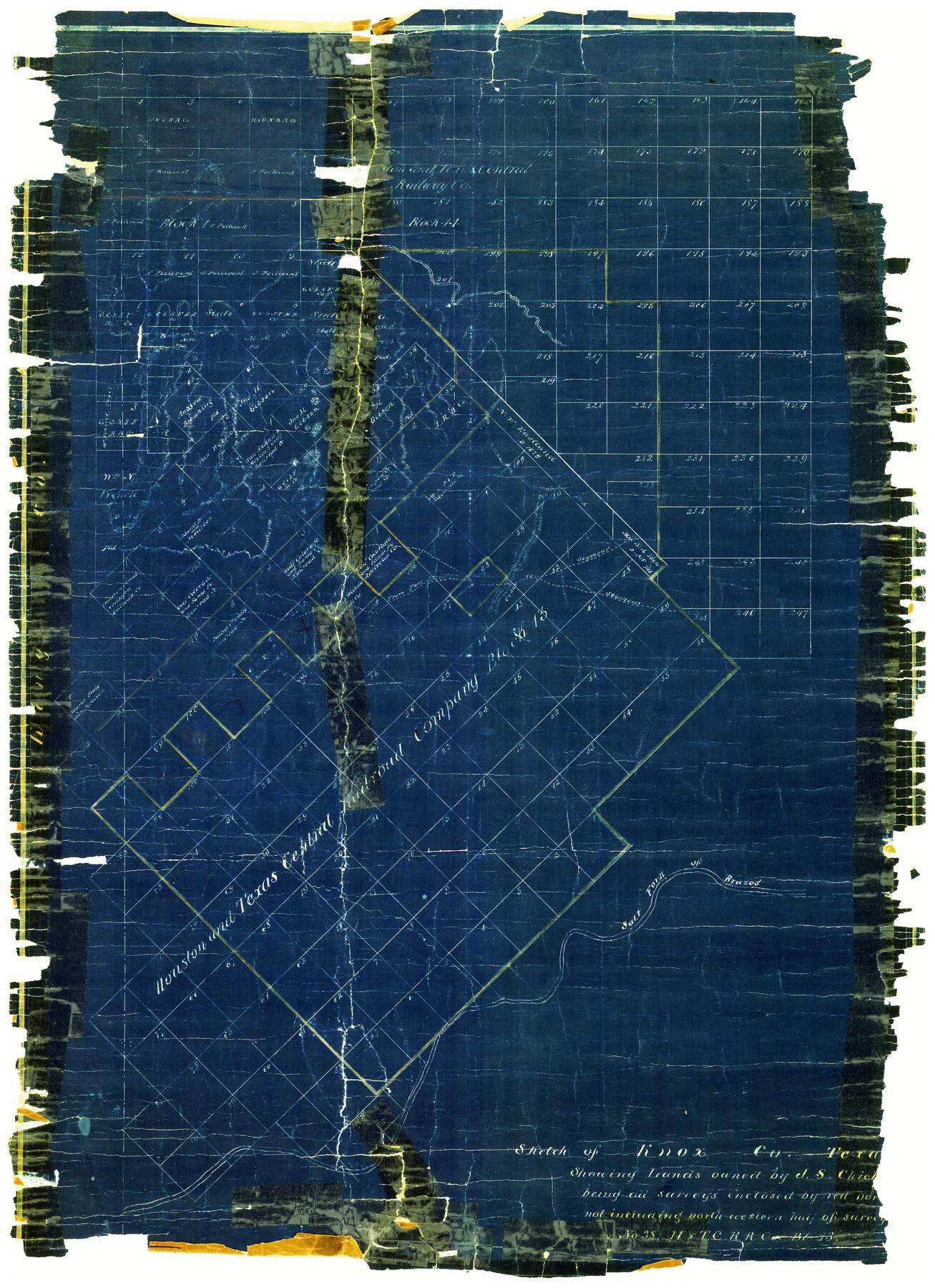
Knox County Rolled Sketch 11
Sketch of Knox Co., Texas showing lands [in H. & T. C. Block 13]
-
Map/Doc
6557
-
Collection
General Map Collection
-
Counties
Knox
-
Subjects
Surveying Rolled Sketch
-
Height x Width
24.4 x 17.3 inches
62.0 x 43.9 cm
-
Medium
blueprint/diazo
Part of: General Map Collection
Clay County Working Sketch 11

Print $20.00
- Digital $50.00
Clay County Working Sketch 11
1941
Size 27.7 x 27.1 inches
Map/Doc 68034
Hudspeth County Sketch File 11a

Print $8.00
- Digital $50.00
Hudspeth County Sketch File 11a
Size 14.3 x 9.0 inches
Map/Doc 26910
Drum, Oyster and Bastrop Bays and Vicinity; Brazoria County, showing Subdivision for Mineral Development

Print $20.00
- Digital $50.00
Drum, Oyster and Bastrop Bays and Vicinity; Brazoria County, showing Subdivision for Mineral Development
1949
Size 35.4 x 45.4 inches
Map/Doc 1908
Schleicher County Sketch File 41

Print $6.00
- Digital $50.00
Schleicher County Sketch File 41
1963
Size 16.2 x 9.9 inches
Map/Doc 36544
Schleicher County Rolled Sketch 11

Print $20.00
- Digital $50.00
Schleicher County Rolled Sketch 11
1951
Size 24.9 x 19.2 inches
Map/Doc 7754
Lamar County Sketch File 13

Print $2.00
- Digital $50.00
Lamar County Sketch File 13
1943
Size 10.9 x 8.0 inches
Map/Doc 29307
Jefferson County NRC Article 33.136 Sketch 6

Print $4.00
- Digital $50.00
Jefferson County NRC Article 33.136 Sketch 6
2005
Size 14.1 x 8.6 inches
Map/Doc 83171
Erath County Working Sketch 20

Print $20.00
- Digital $50.00
Erath County Working Sketch 20
1964
Size 16.3 x 22.0 inches
Map/Doc 69101
University Lands, Blocks 1-13 & Block 58, Crockett, Reagan & Upton Counties

Print $20.00
- Digital $50.00
University Lands, Blocks 1-13 & Block 58, Crockett, Reagan & Upton Counties
1936
Size 36.9 x 42.0 inches
Map/Doc 2409
San Jacinto County Rolled Sketch 10A

Print $40.00
- Digital $50.00
San Jacinto County Rolled Sketch 10A
1944
Size 42.9 x 59.0 inches
Map/Doc 9882
Supreme Court of the United States, October Term, 1924, No. 13, Original - The State of Oklahoma, Complainant vs. The State of Texas, Defendant, The United States, Intervener

Print $20.00
- Digital $50.00
Supreme Court of the United States, October Term, 1924, No. 13, Original - The State of Oklahoma, Complainant vs. The State of Texas, Defendant, The United States, Intervener
1924
Size 18.6 x 33.7 inches
Map/Doc 75118
Matagorda County NRC Article 33.136 Sketch 20

Print $106.00
Matagorda County NRC Article 33.136 Sketch 20
2024
Map/Doc 97425
You may also like
The Republic County of Gonzales. Boundaries Defined, December 14, 1837

Print $20.00
The Republic County of Gonzales. Boundaries Defined, December 14, 1837
2020
Size 14.7 x 21.7 inches
Map/Doc 96153
Victoria County Working Sketch 1

Print $20.00
- Digital $50.00
Victoria County Working Sketch 1
1938
Size 33.5 x 36.9 inches
Map/Doc 72271
Bandera County Working Sketch 36

Print $20.00
- Digital $50.00
Bandera County Working Sketch 36
1966
Size 22.5 x 29.5 inches
Map/Doc 67632
Fisher County Sketch File 2

Print $2.00
- Digital $50.00
Fisher County Sketch File 2
1885
Size 12.4 x 7.5 inches
Map/Doc 22548
Map of Pecos and Reeves Counties

Print $40.00
- Digital $50.00
Map of Pecos and Reeves Counties
1873
Size 45.3 x 115.6 inches
Map/Doc 75930
Map of Bexar County

Print $20.00
- Digital $50.00
Map of Bexar County
1896
Size 46.2 x 39.9 inches
Map/Doc 4766
Map of Encinal County

Print $20.00
- Digital $50.00
Map of Encinal County
1878
Size 32.8 x 22.7 inches
Map/Doc 3514
Glasscock County Sketch File 8

Print $6.00
- Digital $50.00
Glasscock County Sketch File 8
Size 9.5 x 14.9 inches
Map/Doc 24168
Denison Dam Quadrangle

Print $20.00
- Digital $50.00
Denison Dam Quadrangle
1999
Size 35.4 x 23.4 inches
Map/Doc 97366
Hudspeth County Working Sketch 41

Print $20.00
- Digital $50.00
Hudspeth County Working Sketch 41
1981
Size 18.3 x 37.1 inches
Map/Doc 66326
Flight Mission No. DQN-3K, Frame 68, Calhoun County

Print $20.00
- Digital $50.00
Flight Mission No. DQN-3K, Frame 68, Calhoun County
1953
Size 18.5 x 22.3 inches
Map/Doc 84359
Trinity River, Irving Sheet

Print $4.00
- Digital $50.00
Trinity River, Irving Sheet
1925
Size 20.7 x 17.9 inches
Map/Doc 65212