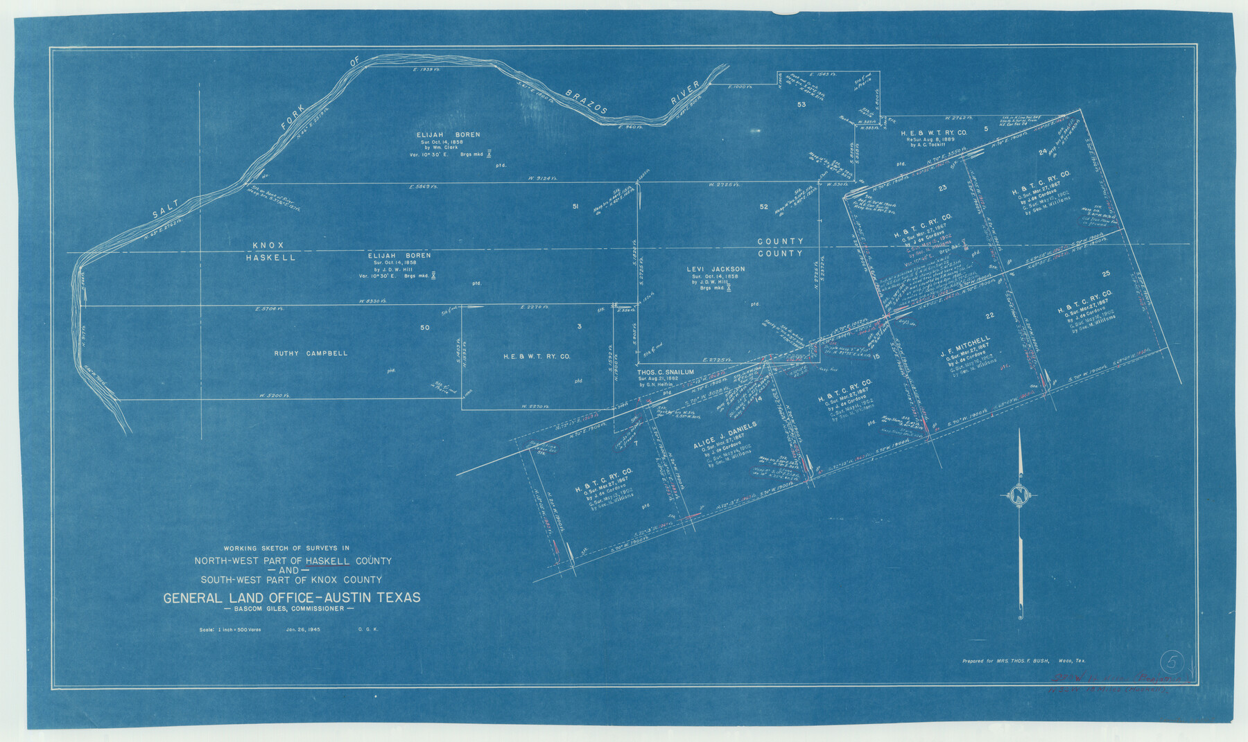
Haskell County Working Sketch 5
-
Map/Doc
66063
-
Collection
General Map Collection
-
Object Dates
1/26/1945 (Creation Date)
-
People and Organizations
Otto G. Kurio (Draftsman)
-
Counties
Haskell Knox
-
Subjects
Surveying Working Sketch
-
Height x Width
22.2 x 37.2 inches
56.4 x 94.5 cm
-
Scale
1" = 500 varas
Part of: General Map Collection
Galveston County Sketch File 32

Print $20.00
- Digital $50.00
Galveston County Sketch File 32
1916
Size 15.2 x 34.3 inches
Map/Doc 11535
San Patricio County Rolled Sketch 49

Print $20.00
- Digital $50.00
San Patricio County Rolled Sketch 49
1979
Size 21.2 x 20.3 inches
Map/Doc 7735
Llano County Sketch File 7

Print $4.00
- Digital $50.00
Llano County Sketch File 7
Size 6.6 x 7.3 inches
Map/Doc 30362
Gillespie County Boundary File 2

Print $42.00
- Digital $50.00
Gillespie County Boundary File 2
Size 6.7 x 4.0 inches
Map/Doc 53724
Terrell County Rolled Sketch 25

Print $20.00
- Digital $50.00
Terrell County Rolled Sketch 25
1911
Size 15.7 x 22.7 inches
Map/Doc 7932
Gillespie County Rolled Sketch 7

Print $20.00
- Digital $50.00
Gillespie County Rolled Sketch 7
2008
Size 18.9 x 18.8 inches
Map/Doc 88818
Collin County Sketch File 4

Print $4.00
- Digital $50.00
Collin County Sketch File 4
1856
Size 10.0 x 8.0 inches
Map/Doc 18862
Flight Mission No. CRC-2R, Frame 186, Chambers County

Print $20.00
- Digital $50.00
Flight Mission No. CRC-2R, Frame 186, Chambers County
1956
Size 18.7 x 22.4 inches
Map/Doc 84764
Trinity County Sketch File 17

Print $4.00
- Digital $50.00
Trinity County Sketch File 17
Size 8.0 x 7.4 inches
Map/Doc 38546
Victoria County Sketch File 5

Print $4.00
- Digital $50.00
Victoria County Sketch File 5
1877
Size 14.5 x 8.8 inches
Map/Doc 39520
Johnson County Working Sketch 24

Print $20.00
- Digital $50.00
Johnson County Working Sketch 24
1996
Size 47.5 x 34.5 inches
Map/Doc 66637
Flight Mission No. BRA-3M, Frame 196, Jefferson County

Print $20.00
- Digital $50.00
Flight Mission No. BRA-3M, Frame 196, Jefferson County
1953
Size 18.6 x 22.4 inches
Map/Doc 85411
You may also like
Andrews County Rolled Sketch 29

Print $20.00
- Digital $50.00
Andrews County Rolled Sketch 29
1949
Size 36.6 x 16.3 inches
Map/Doc 77173
Webb County Sketch File 71

Print $44.00
- Digital $50.00
Webb County Sketch File 71
Size 14.4 x 7.6 inches
Map/Doc 39888
Hudspeth County Sketch File 22

Print $10.00
- Digital $50.00
Hudspeth County Sketch File 22
1935
Size 11.2 x 8.7 inches
Map/Doc 26974
Baylor County Sketch File 31

Print $6.00
- Digital $50.00
Baylor County Sketch File 31
1880
Size 14.3 x 8.9 inches
Map/Doc 14235
Knox County Working Sketch 19

Print $20.00
- Digital $50.00
Knox County Working Sketch 19
1992
Size 25.0 x 35.6 inches
Map/Doc 70261

Mason County Rolled Sketch 3

Print $20.00
- Digital $50.00
Mason County Rolled Sketch 3
1965
Size 30.3 x 22.8 inches
Map/Doc 6676
El Paso County Rolled Sketch 49

Print $40.00
- Digital $50.00
El Paso County Rolled Sketch 49
Size 10.5 x 99.9 inches
Map/Doc 8875
Haskell County Rolled Sketch 15A

Print $3.00
- Digital $50.00
Haskell County Rolled Sketch 15A
1991
Size 11.3 x 17.1 inches
Map/Doc 6174
Jefferson County Rolled Sketch 61E

Print $20.00
- Digital $50.00
Jefferson County Rolled Sketch 61E
1928
Size 27.1 x 40.2 inches
Map/Doc 6414
Culberson County Sketch File RJ

Print $20.00
- Digital $50.00
Culberson County Sketch File RJ
1927
Size 16.9 x 24.4 inches
Map/Doc 5789
Lavaca County Rolled Sketch 3

Print $20.00
- Digital $50.00
Lavaca County Rolled Sketch 3
1959
Size 42.8 x 32.8 inches
Map/Doc 9419