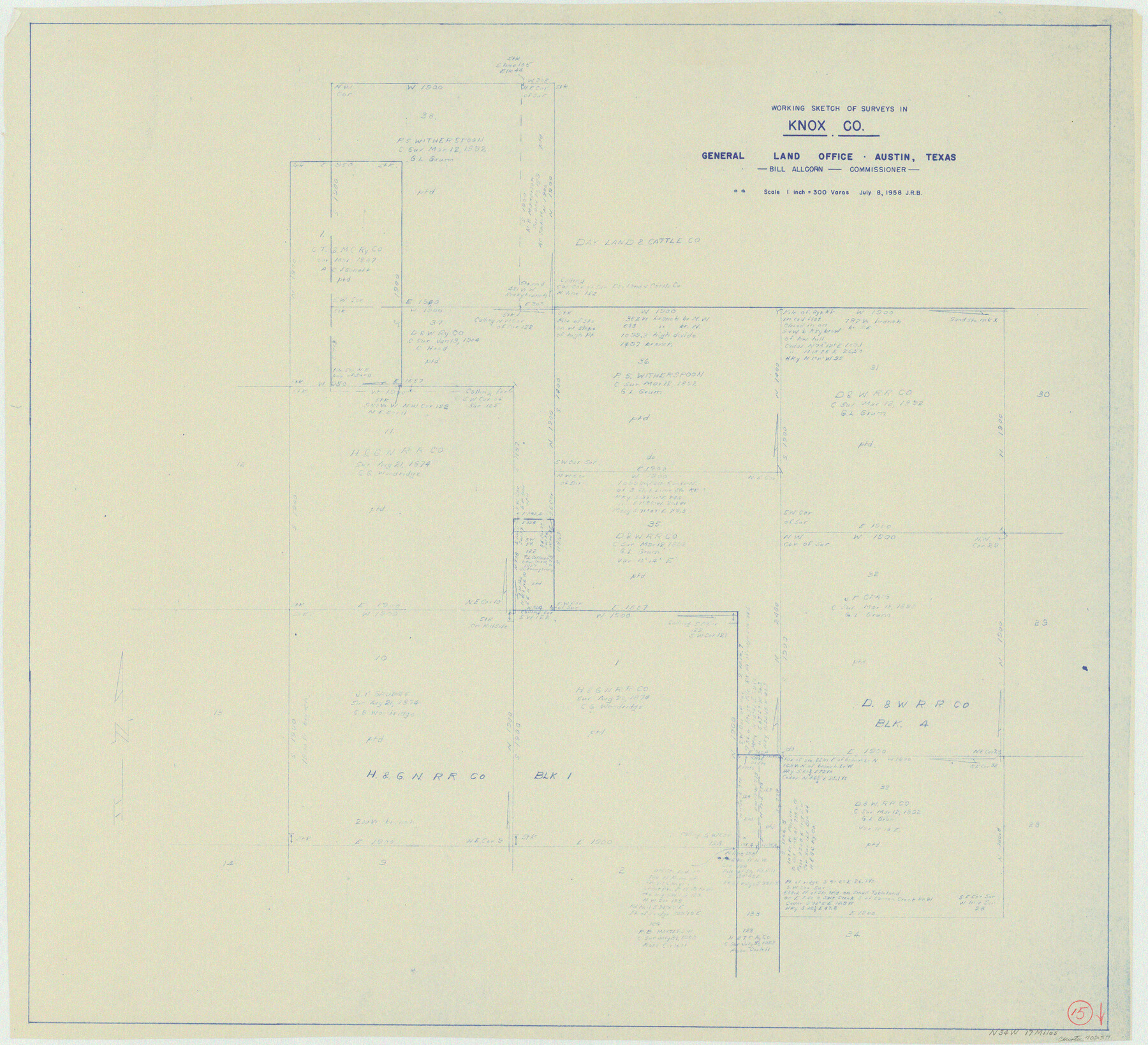
Knox County Working Sketch 15
-
Map/Doc
70257
-
Collection
General Map Collection
-
Object Dates
7/8/1958 (Creation Date)
-
Counties
Knox
-
Subjects
Surveying Working Sketch
-
Height x Width
29.5 x 32.4 inches
74.9 x 82.3 cm
-
Scale
1" = 300 varas
Part of: General Map Collection
Atascosa County Boundary File 7

Print $20.00
- Digital $50.00
Atascosa County Boundary File 7
Size 8.2 x 10.1 inches
Map/Doc 50213
Culberson County Rolled Sketch 41

Print $88.00
- Digital $50.00
Culberson County Rolled Sketch 41
1944
Size 57.5 x 46.0 inches
Map/Doc 8752
Grayson County Sketch File 3a

Print $20.00
- Digital $50.00
Grayson County Sketch File 3a
1855
Size 19.6 x 25.5 inches
Map/Doc 11580
Erath County Working Sketch 14

Print $20.00
- Digital $50.00
Erath County Working Sketch 14
1959
Size 24.7 x 21.9 inches
Map/Doc 69095
Aransas County Working Sketch 11

Print $20.00
- Digital $50.00
Aransas County Working Sketch 11
1949
Size 17.3 x 18.7 inches
Map/Doc 67178
Spanish North America

Print $20.00
- Digital $50.00
Spanish North America
1814
Size 21.9 x 29.8 inches
Map/Doc 89224
Edwards County Sketch File 56

Print $32.00
- Digital $50.00
Edwards County Sketch File 56
1915
Size 11.4 x 9.0 inches
Map/Doc 21808
Aransas Pass to Baffin Bay

Print $20.00
- Digital $50.00
Aransas Pass to Baffin Bay
1966
Size 42.3 x 35.0 inches
Map/Doc 73415
Sterling County Rolled Sketch 8

Print $20.00
- Digital $50.00
Sterling County Rolled Sketch 8
1884
Size 27.9 x 31.9 inches
Map/Doc 7844
Stonewall County Sketch File 19

Print $20.00
- Digital $50.00
Stonewall County Sketch File 19
Size 33.2 x 33.6 inches
Map/Doc 10392
Flight Mission No. DAG-14K, Frame 131, Matagorda County

Print $20.00
- Digital $50.00
Flight Mission No. DAG-14K, Frame 131, Matagorda County
1952
Size 18.5 x 22.3 inches
Map/Doc 86302
Pecos County Working Sketch 72

Print $40.00
- Digital $50.00
Pecos County Working Sketch 72
1957
Size 106.0 x 43.6 inches
Map/Doc 71544
You may also like
Coast Chart No. 210 Aransas Pass and Corpus Christi Bay with the coast to latitude 27° 12' Texas

Print $20.00
- Digital $50.00
Coast Chart No. 210 Aransas Pass and Corpus Christi Bay with the coast to latitude 27° 12' Texas
1887
Size 27.5 x 18.2 inches
Map/Doc 72812
Hamilton County Sketch File 22

Print $2.00
- Digital $50.00
Hamilton County Sketch File 22
Size 6.8 x 5.5 inches
Map/Doc 24947
Andrews County Sketch File 11

Print $40.00
- Digital $50.00
Andrews County Sketch File 11
1951
Size 12.3 x 25.8 inches
Map/Doc 10811
Calhoun County Rolled Sketch 30

Print $20.00
- Digital $50.00
Calhoun County Rolled Sketch 30
1974
Size 18.8 x 27.6 inches
Map/Doc 5494
Hunt County Rolled Sketch 5

Print $20.00
- Digital $50.00
Hunt County Rolled Sketch 5
1956
Size 28.6 x 24.3 inches
Map/Doc 6268
Sherman County Sketch File 3

Print $26.00
- Digital $50.00
Sherman County Sketch File 3
1925
Size 7.7 x 8.9 inches
Map/Doc 36675
Chambers County Rolled Sketch CL

Print $40.00
- Digital $50.00
Chambers County Rolled Sketch CL
1909
Size 56.2 x 21.0 inches
Map/Doc 8610
Matagorda County NRC Article 33.136 Sketch 24

Print $78.00
Matagorda County NRC Article 33.136 Sketch 24
2025
Map/Doc 97509
Map of Kinney County

Print $20.00
- Digital $50.00
Map of Kinney County
1876
Size 24.8 x 37.8 inches
Map/Doc 3776
Andrews County Rolled Sketch 40

Print $20.00
- Digital $50.00
Andrews County Rolled Sketch 40
Size 37.2 x 23.0 inches
Map/Doc 77180
Angelina County Working Sketch 1

Print $20.00
- Digital $50.00
Angelina County Working Sketch 1
Size 17.3 x 17.8 inches
Map/Doc 67081
Nueces County Rolled Sketch 119

Print $90.00
Nueces County Rolled Sketch 119
1994
Size 26.1 x 36.5 inches
Map/Doc 7151