Stonewall County Sketch File 19
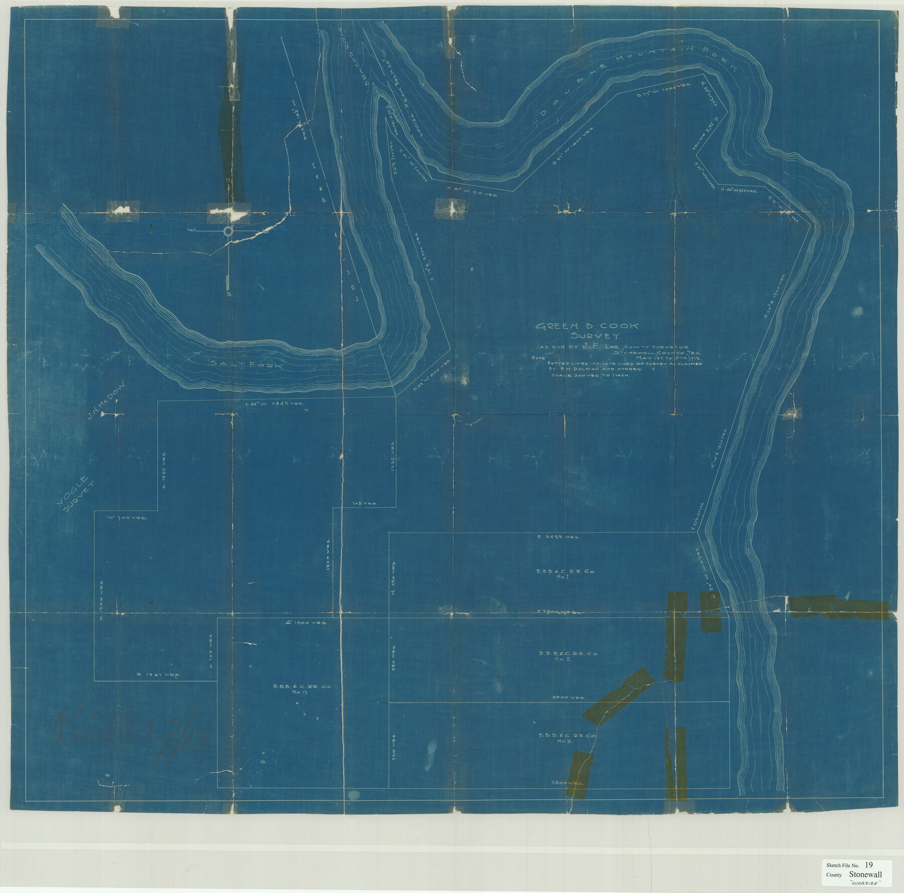
[Sketch of the Green B. Cook survey and B. B. B. & C. R.R. Co. surveys to the south]
-
Map/Doc
10392
-
Collection
General Map Collection
-
Object Dates
10/7/1913 (File Date)
-
Counties
Stonewall Haskell
-
Subjects
Surveying Sketch File
-
Height x Width
33.2 x 33.6 inches
84.3 x 85.3 cm
-
Medium
blueprint/diazo
-
Features
Brazos River
Louisa Peak
Double Mountain Fork [of Brazos River]
Salt Fork [of Brazos River]
Part of: General Map Collection
Denton County Rolled Sketch 8

Print $20.00
- Digital $50.00
Denton County Rolled Sketch 8
2007
Size 24.5 x 18.2 inches
Map/Doc 88762
Map of New England and New York to illustrate Olney's school geography

Print $20.00
- Digital $50.00
Map of New England and New York to illustrate Olney's school geography
1844
Size 12.1 x 19.0 inches
Map/Doc 93538
El Paso County Working Sketch 55

Print $20.00
- Digital $50.00
El Paso County Working Sketch 55
1992
Size 44.2 x 36.3 inches
Map/Doc 69077
Travis County Appraisal District Plat Map 3_0206

Print $20.00
- Digital $50.00
Travis County Appraisal District Plat Map 3_0206
Size 21.4 x 26.4 inches
Map/Doc 94225
Val Verde County Sketch File Z0

Print $32.00
- Digital $50.00
Val Verde County Sketch File Z0
1881
Size 28.1 x 10.1 inches
Map/Doc 12550
Zapata County Sketch File 11

Print $6.00
- Digital $50.00
Zapata County Sketch File 11
1918
Size 14.4 x 8.7 inches
Map/Doc 40946
Webb County Working Sketch 3

Print $20.00
- Digital $50.00
Webb County Working Sketch 3
1906
Size 18.2 x 27.2 inches
Map/Doc 72368
Harris County Sketch File 57

Print $15.00
- Digital $50.00
Harris County Sketch File 57
1919
Size 8.8 x 7.7 inches
Map/Doc 25473
Pecos County Rolled Sketch 123

Print $20.00
- Digital $50.00
Pecos County Rolled Sketch 123
Size 20.3 x 25.4 inches
Map/Doc 7264
Starr County Sketch File 28

Print $12.00
- Digital $50.00
Starr County Sketch File 28
1933
Size 11.2 x 8.8 inches
Map/Doc 36948
Galveston County NRC Article 33.136 Location Key Sheet

Print $20.00
- Digital $50.00
Galveston County NRC Article 33.136 Location Key Sheet
1974
Size 27.0 x 23.0 inches
Map/Doc 77022

You may also like
Rains County Working Sketch Graphic Index

Print $20.00
- Digital $50.00
Rains County Working Sketch Graphic Index
1942
Size 31.3 x 29.5 inches
Map/Doc 76675
Lavaca County Working Sketch 19

Print $20.00
- Digital $50.00
Lavaca County Working Sketch 19
1980
Size 26.9 x 29.6 inches
Map/Doc 70372
Jeff Davis County Working Sketch 35

Print $20.00
- Digital $50.00
Jeff Davis County Working Sketch 35
1979
Size 34.4 x 36.9 inches
Map/Doc 66530
Coast Chart No. 210 - Aransas Pass and Corpus Christi Bay with the coast to latitude 27° 12', Texas

Print $20.00
- Digital $50.00
Coast Chart No. 210 - Aransas Pass and Corpus Christi Bay with the coast to latitude 27° 12', Texas
1887
Size 23.4 x 29.4 inches
Map/Doc 73443
Presidio County Sketch File P1

Print $4.00
- Digital $50.00
Presidio County Sketch File P1
Size 11.2 x 8.8 inches
Map/Doc 34556
El Paso County Rolled Sketch Z59

Print $40.00
- Digital $50.00
El Paso County Rolled Sketch Z59
1915
Size 36.5 x 48.1 inches
Map/Doc 8872
Liberty County Working Sketch 42

Print $20.00
- Digital $50.00
Liberty County Working Sketch 42
1953
Size 24.0 x 35.8 inches
Map/Doc 70501
Segunda parte del Mapa, que comprende la Frontera, de los Dominios del Rey, en la America Septentrional

Print $40.00
- Digital $50.00
Segunda parte del Mapa, que comprende la Frontera, de los Dominios del Rey, en la America Septentrional
1769
Size 26.7 x 63.8 inches
Map/Doc 4667
Flight Mission No. CRC-3R, Frame 23, Chambers County

Print $20.00
- Digital $50.00
Flight Mission No. CRC-3R, Frame 23, Chambers County
1956
Size 18.6 x 22.3 inches
Map/Doc 84797
Culberson County Rolled Sketch X1

Print $20.00
- Digital $50.00
Culberson County Rolled Sketch X1
1896
Size 20.1 x 20.1 inches
Map/Doc 5684
Stephens County Working Sketch 19

Print $40.00
- Digital $50.00
Stephens County Working Sketch 19
1969
Size 48.8 x 42.7 inches
Map/Doc 63962
Ward County Rolled Sketch 24C

Print $40.00
- Digital $50.00
Ward County Rolled Sketch 24C
1967
Size 54.8 x 24.4 inches
Map/Doc 10114