
Stonewall County Sketch File 25
1952

Stonewall County Sketch File 26
1953

Stonewall County Sketch File B1
1901

Stonewall County Sketch File 19
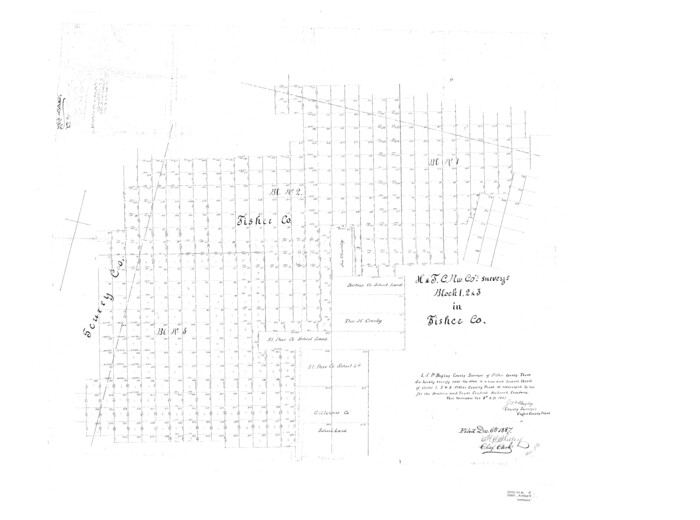
Fisher County Sketch File 5
1887

Fisher County Sketch File 11

Haskell County Sketch File 20
1902

Jones County Sketch File 1
1857

Jones County Sketch File 2
1857
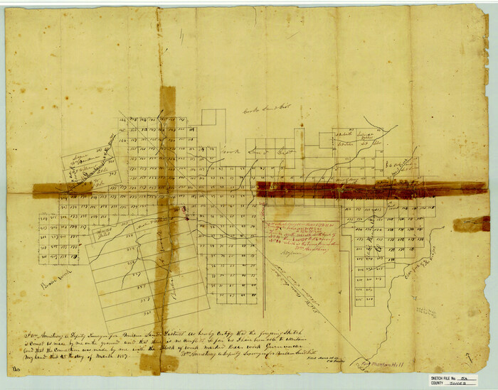
Jones County Sketch File 5a
1857

Stonewall County Sketch File 4

Stonewall County Sketch File 12A

Stonewall County Sketch File 13
1901

Stonewall County Sketch File 14
1901

Stonewall County Sketch File 22
1937

Stonewall County Sketch File 24
1951
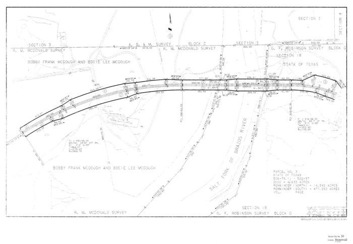
Stonewall County Sketch File 30
1986
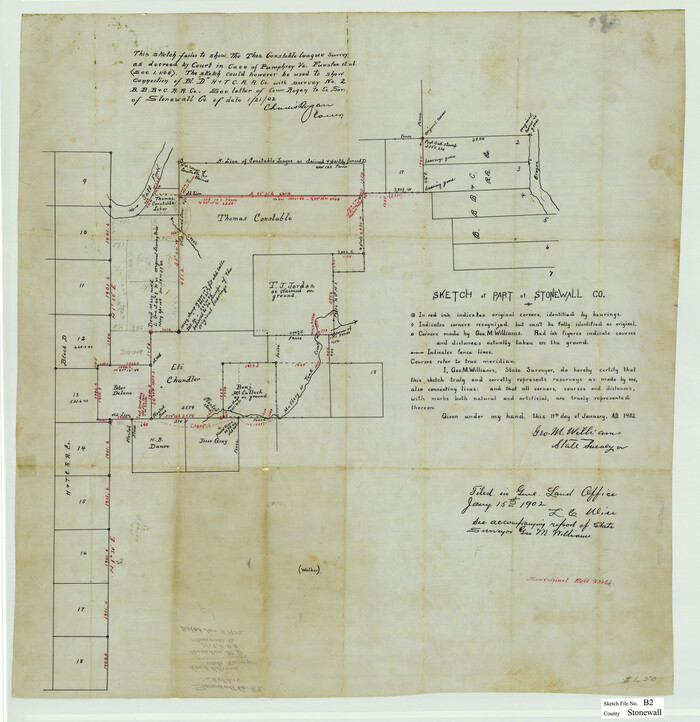
Stonewall County Sketch File B2
1902

Stonewall County Sketch File X
1901
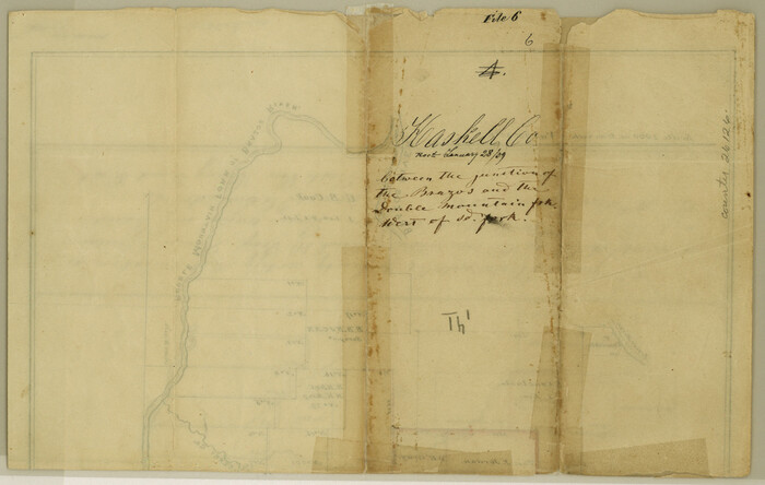
Haskell County Sketch File 6
1858
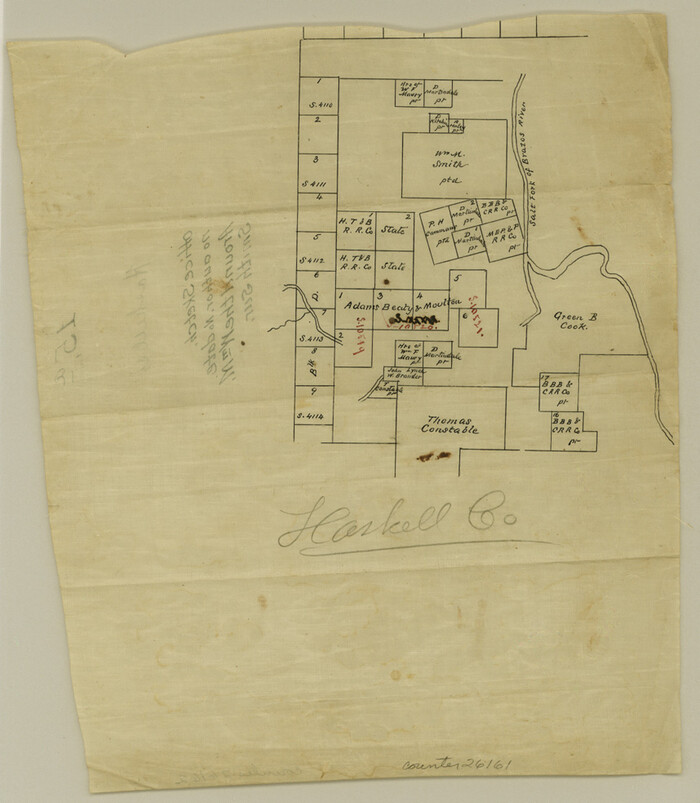
Haskell County Sketch File 15a
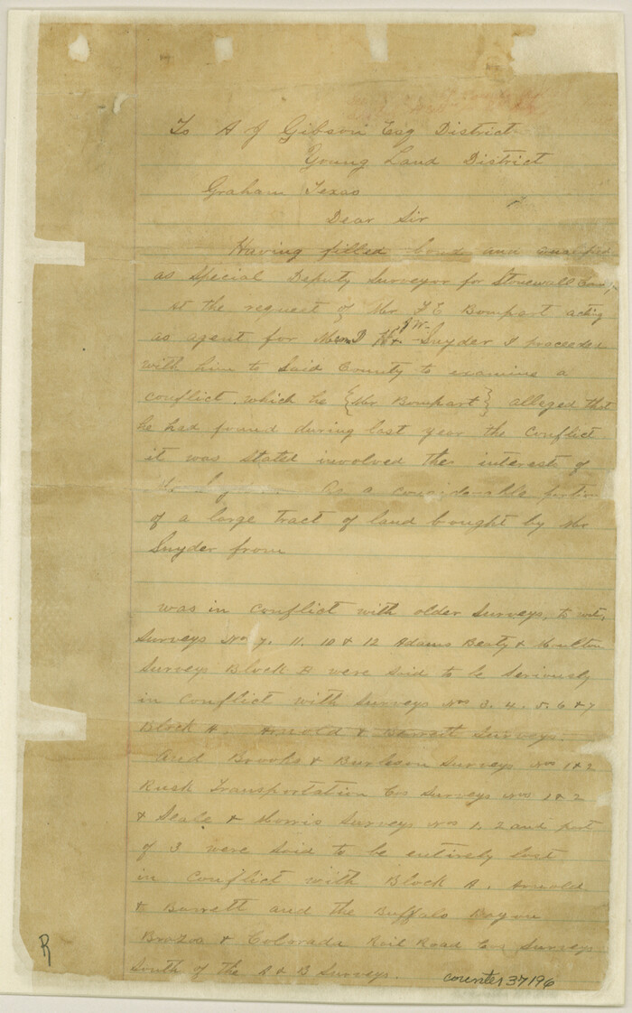
Stonewall County Sketch File C
1886

Stonewall County Sketch File 5
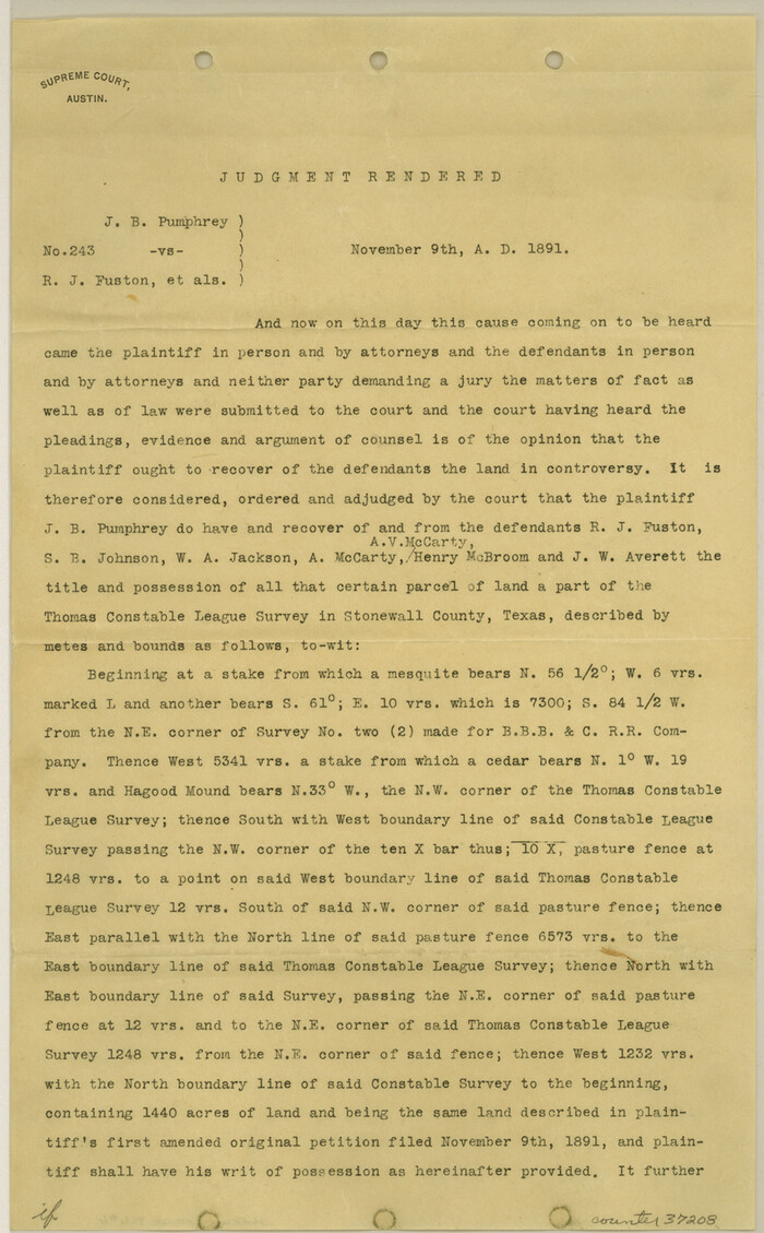
Stonewall County Sketch File 6
1891

Stonewall County Sketch File 7
1896
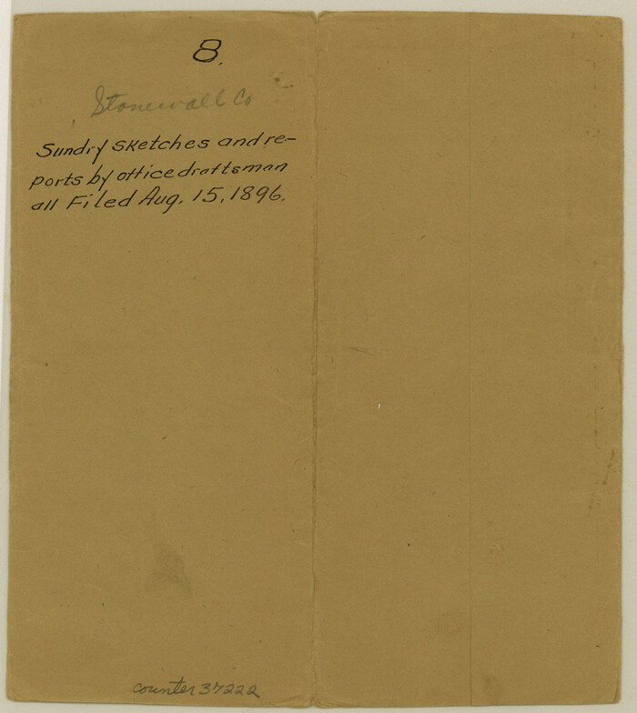
Stonewall County Sketch File 8
1896
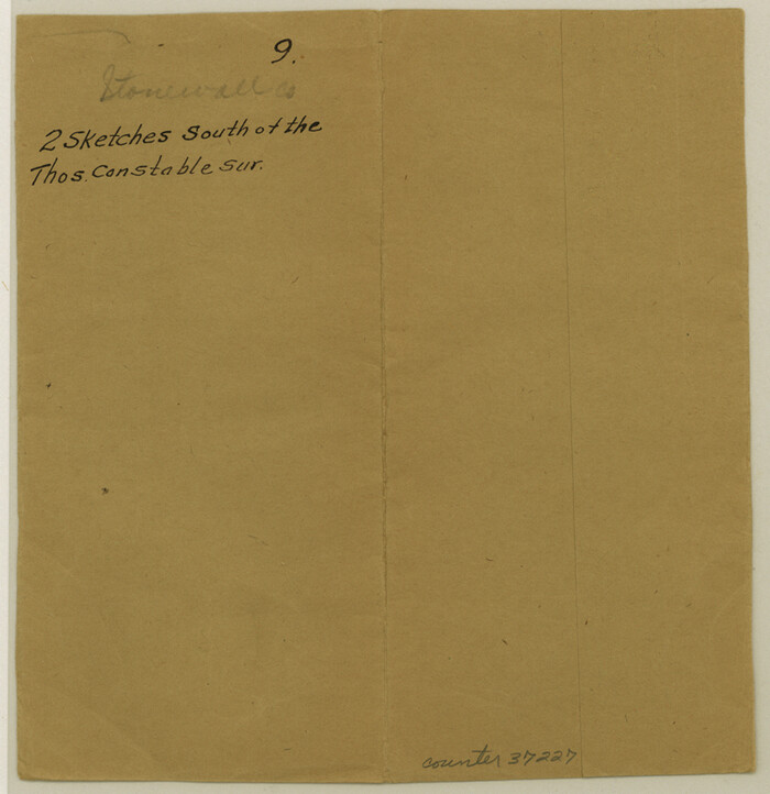
Stonewall County Sketch File 9

Stonewall County Sketch File 25
1952
-
Size
26.7 x 43.3 inches
-
Map/Doc
10375
-
Creation Date
1952

Stonewall County Sketch File 26
1953
-
Size
35.7 x 36.8 inches
-
Map/Doc
10376
-
Creation Date
1953

Stonewall County Sketch File B1
1901
-
Size
36.2 x 34.9 inches
-
Map/Doc
10379
-
Creation Date
1901

Stonewall County Sketch File 19
-
Size
33.2 x 33.6 inches
-
Map/Doc
10392

Fisher County Sketch File 5
1887
-
Size
35.3 x 47.6 inches
-
Map/Doc
10449
-
Creation Date
1887

Fisher County Sketch File 11
-
Size
22.8 x 20.4 inches
-
Map/Doc
11478

Haskell County Sketch File 20
1902
-
Size
20.9 x 26.2 inches
-
Map/Doc
11743
-
Creation Date
1902

Jones County Sketch File 1
1857
-
Size
17.8 x 30.3 inches
-
Map/Doc
11894
-
Creation Date
1857

Jones County Sketch File 2
1857
-
Size
16.8 x 21.1 inches
-
Map/Doc
11895
-
Creation Date
1857

Jones County Sketch File 5a
1857
-
Size
18.4 x 23.5 inches
-
Map/Doc
11896
-
Creation Date
1857

Stonewall County Sketch File 4
-
Size
18.2 x 25.7 inches
-
Map/Doc
12363

Stonewall County Sketch File 12A
-
Size
25.6 x 17.4 inches
-
Map/Doc
12364

Stonewall County Sketch File 13
1901
-
Size
22.4 x 18.8 inches
-
Map/Doc
12365
-
Creation Date
1901

Stonewall County Sketch File 14
1901
-
Size
21.5 x 18.3 inches
-
Map/Doc
12366
-
Creation Date
1901

Stonewall County Sketch File 22
1937
-
Size
18.8 x 23.1 inches
-
Map/Doc
12368
-
Creation Date
1937

Stonewall County Sketch File 24
1951
-
Size
24.8 x 35.2 inches
-
Map/Doc
12369
-
Creation Date
1951

Stonewall County Sketch File 30
1986
-
Size
24.5 x 35.3 inches
-
Map/Doc
12370
-
Creation Date
1986

Stonewall County Sketch File B2
1902
-
Size
25.8 x 25.0 inches
-
Map/Doc
12377
-
Creation Date
1902

Stonewall County Sketch File X
1901
-
Size
25.8 x 18.1 inches
-
Map/Doc
12378
-
Creation Date
1901
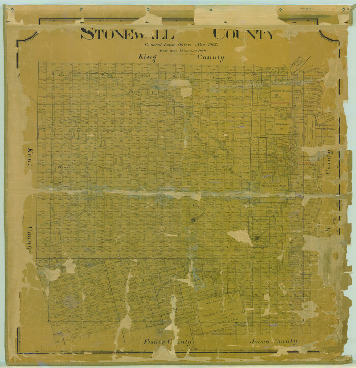
Stonewall County
1902
-
Size
41.8 x 40.4 inches
-
Map/Doc
16885
-
Creation Date
1902

Young Territory
1873
-
Size
29.2 x 29.9 inches
-
Map/Doc
1976
-
Creation Date
1873

Young Territory
1873
-
Size
45.3 x 42.8 inches
-
Map/Doc
1988
-
Creation Date
1873

Haskell County Sketch File 6
1858
-
Size
7.7 x 12.2 inches
-
Map/Doc
26126
-
Creation Date
1858

Haskell County Sketch File 15a
-
Size
9.8 x 8.6 inches
-
Map/Doc
26161

Stonewall County Sketch File C
1886
-
Size
13.1 x 8.2 inches
-
Map/Doc
37196
-
Creation Date
1886

Stonewall County Sketch File 5
-
Size
14.9 x 14.4 inches
-
Map/Doc
37206

Stonewall County Sketch File 6
1891
-
Size
14.0 x 8.7 inches
-
Map/Doc
37208
-
Creation Date
1891

Stonewall County Sketch File 7
1896
-
Size
11.4 x 7.4 inches
-
Map/Doc
37213
-
Creation Date
1896

Stonewall County Sketch File 8
1896
-
Size
8.7 x 7.7 inches
-
Map/Doc
37222
-
Creation Date
1896

Stonewall County Sketch File 9
-
Size
8.1 x 7.9 inches
-
Map/Doc
37227