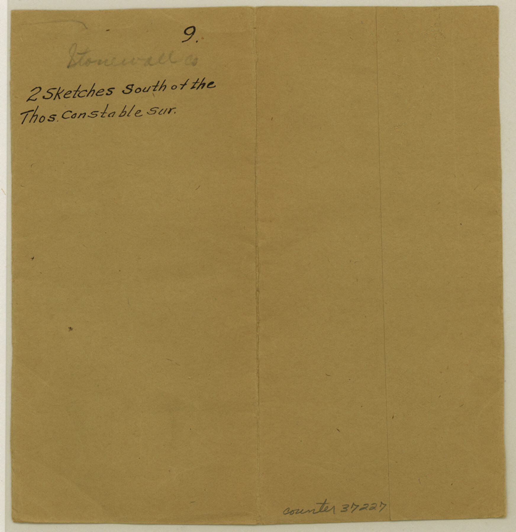
Stonewall County Sketch File 9
[Two sketches of area in the vicinity of the Thomas Constable survey in the eastern part of the county]
-
Map/Doc
37227
-
Collection
General Map Collection
-
Counties
Stonewall
-
Subjects
Surveying Sketch File
-
Height x Width
8.1 x 7.9 inches
20.6 x 20.1 cm
-
Medium
paper, manuscript
-
Features
Brazos River
Double Mountain Fork [of Brazos River]
Mulberry Creek
Part of: General Map Collection
[Surveys on the Trinity River]
![342, [Surveys on the Trinity River], General Map Collection](https://historictexasmaps.com/wmedia_w700/maps/342.tif.jpg)
Print $2.00
- Digital $50.00
[Surveys on the Trinity River]
Size 6.6 x 4.6 inches
Map/Doc 342
Liberty County Working Sketch 51

Print $20.00
- Digital $50.00
Liberty County Working Sketch 51
1955
Size 17.5 x 38.5 inches
Map/Doc 70511
Kerr County Sketch File 23

Print $8.00
- Digital $50.00
Kerr County Sketch File 23
1959
Size 14.2 x 8.8 inches
Map/Doc 28901
Nueces County Rolled Sketch 100

Print $20.00
- Digital $50.00
Nueces County Rolled Sketch 100
1938
Size 37.2 x 25.2 inches
Map/Doc 9634
Tom Green County Rolled Sketch 14

Print $20.00
- Digital $50.00
Tom Green County Rolled Sketch 14
1953
Size 28.3 x 30.9 inches
Map/Doc 7999
Upton County Working Sketch 53

Print $20.00
- Digital $50.00
Upton County Working Sketch 53
1983
Size 26.8 x 31.2 inches
Map/Doc 69550

Terrell County Working Sketch 9

Print $20.00
- Digital $50.00
Terrell County Working Sketch 9
1917
Size 18.9 x 23.0 inches
Map/Doc 62158
Trinity County Working Sketch 12

Print $20.00
- Digital $50.00
Trinity County Working Sketch 12
1950
Size 46.6 x 36.9 inches
Map/Doc 69461
Presidio County Rolled Sketch 145

Print $20.00
- Digital $50.00
Presidio County Rolled Sketch 145
2012
Size 36.6 x 24.5 inches
Map/Doc 93380
Hunt County Rolled Sketch 4

Print $209.00
- Digital $50.00
Hunt County Rolled Sketch 4
1959
Size 10.4 x 15.2 inches
Map/Doc 45992
Hunt County Sketch File 16b

Print $6.00
- Digital $50.00
Hunt County Sketch File 16b
Size 6.7 x 7.4 inches
Map/Doc 27111
You may also like
Flight Mission No. BRA-7M, Frame 116, Jefferson County

Print $20.00
- Digital $50.00
Flight Mission No. BRA-7M, Frame 116, Jefferson County
1953
Size 18.6 x 22.5 inches
Map/Doc 85510
Gregg County Rolled Sketch 17

Print $20.00
- Digital $50.00
Gregg County Rolled Sketch 17
1933
Size 14.0 x 27.9 inches
Map/Doc 6040
Chambers County Sketch File 28

Print $20.00
- Digital $50.00
Chambers County Sketch File 28
1934
Size 26.0 x 19.2 inches
Map/Doc 11067
Harris County Working Sketch 51

Print $20.00
- Digital $50.00
Harris County Working Sketch 51
1947
Size 39.6 x 36.6 inches
Map/Doc 65943

Hamilton County Working Sketch 36

Print $40.00
- Digital $50.00
Hamilton County Working Sketch 36
2008
Size 36.9 x 57.3 inches
Map/Doc 88996
St. Louis, Brownsville & Mexico Railway Location Map from Mile 120 to Rio Grande

Print $40.00
- Digital $50.00
St. Louis, Brownsville & Mexico Railway Location Map from Mile 120 to Rio Grande
1905
Size 19.6 x 67.7 inches
Map/Doc 64170
Map of a resurvey of the land involved in the suit of Lillian-Vineyard vs. O.M. O'Connor et al (Lamar townlots excepted)

Print $20.00
- Digital $50.00
Map of a resurvey of the land involved in the suit of Lillian-Vineyard vs. O.M. O'Connor et al (Lamar townlots excepted)
1911
Size 18.8 x 17.9 inches
Map/Doc 481
Brewster County Sketch File 56

Print $14.00
- Digital $50.00
Brewster County Sketch File 56
2001
Size 11.0 x 8.5 inches
Map/Doc 16392
Lynn County Sketch File 11

Print $4.00
- Digital $50.00
Lynn County Sketch File 11
1906
Size 14.2 x 8.6 inches
Map/Doc 30478
Montgomery County

Print $20.00
- Digital $50.00
Montgomery County
1871
Size 21.0 x 24.6 inches
Map/Doc 3891
A General Map of the Middle British Colonies, in America. containing Virginia, Maryland, the Delaware Counties, Pennsylvania and New Jersey. With the addition of New York and of the Greatest Part of New England

Print $20.00
- Digital $50.00
A General Map of the Middle British Colonies, in America. containing Virginia, Maryland, the Delaware Counties, Pennsylvania and New Jersey. With the addition of New York and of the Greatest Part of New England
1776
Size 21.6 x 27.2 inches
Map/Doc 97402