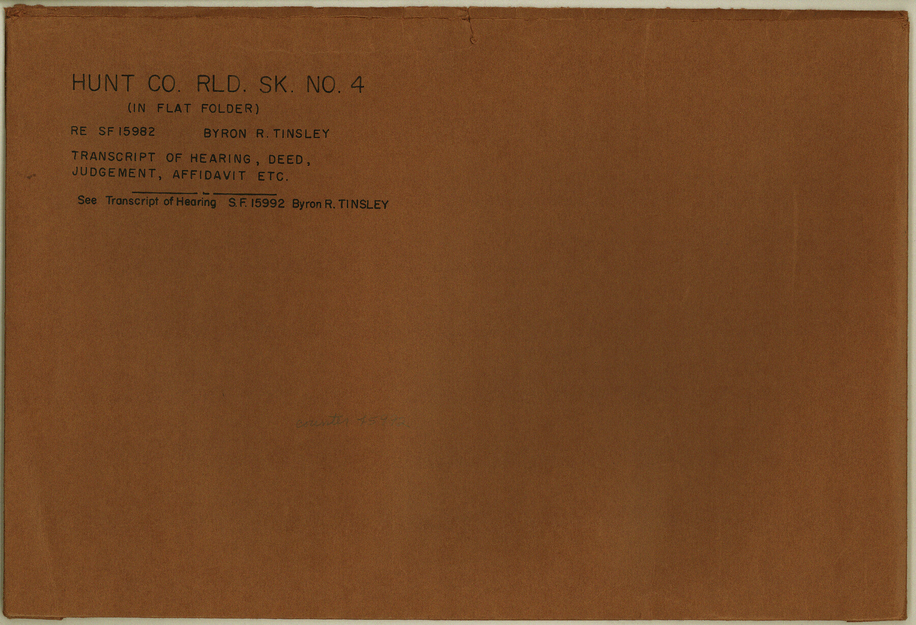
Hunt County Rolled Sketch 4
Transcript of Hearing, Deed, Judgement, Affidavit, etc. regarding SF-15992
-
Map/Doc
45992
-
Collection
General Map Collection
-
Object Dates
1959 (Creation Date)
1959/6/5 (File Date)
-
Counties
Hunt
-
Subjects
Surveying Rolled Sketch
-
Height x Width
10.4 x 15.2 inches
26.4 x 38.6 cm
-
Medium
multi-page, multi-format
Part of: General Map Collection
Stonewall County Sketch File 11

Print $6.00
- Digital $50.00
Stonewall County Sketch File 11
1900
Size 9.7 x 8.5 inches
Map/Doc 37237
Val Verde County Working Sketch 26

Print $20.00
- Digital $50.00
Val Verde County Working Sketch 26
1936
Size 22.9 x 31.5 inches
Map/Doc 72161
Terrell County Rolled Sketch 53A

Print $20.00
- Digital $50.00
Terrell County Rolled Sketch 53A
Size 32.9 x 24.2 inches
Map/Doc 7972
Hemphill County Sketch file 6b

Print $20.00
- Digital $50.00
Hemphill County Sketch file 6b
1903
Size 13.7 x 24.3 inches
Map/Doc 11752
Map of Robertson County

Print $20.00
- Digital $50.00
Map of Robertson County
1888
Size 29.1 x 23.9 inches
Map/Doc 83004
Donley County Sketch File 11

Print $8.00
- Digital $50.00
Donley County Sketch File 11
1892
Size 14.6 x 8.3 inches
Map/Doc 21244
Map of Henderson County

Print $20.00
- Digital $50.00
Map of Henderson County
1871
Size 16.3 x 30.3 inches
Map/Doc 4563
Carte du Lac de Mexico et de ses Environs Lors de la Conqueste des Espagnols

Print $20.00
- Digital $50.00
Carte du Lac de Mexico et de ses Environs Lors de la Conqueste des Espagnols
1753
Size 10.3 x 8.1 inches
Map/Doc 97080
Terrell County Working Sketch 4

Print $20.00
- Digital $50.00
Terrell County Working Sketch 4
1914
Size 22.1 x 22.3 inches
Map/Doc 62153
Hardin County Working Sketch 43

Print $20.00
- Digital $50.00
Hardin County Working Sketch 43
2001
Size 45.4 x 37.4 inches
Map/Doc 83572
Lampasas County Working Sketch 14

Print $20.00
- Digital $50.00
Lampasas County Working Sketch 14
1974
Size 23.4 x 21.8 inches
Map/Doc 70291
Kendall County Sketch File 21

Print $20.00
- Digital $50.00
Kendall County Sketch File 21
1931
Size 17.9 x 22.7 inches
Map/Doc 11909
You may also like
Brazoria County Rolled Sketch AM

Print $20.00
- Digital $50.00
Brazoria County Rolled Sketch AM
1935
Size 27.1 x 43.2 inches
Map/Doc 5189
General Highway Map, Galveston County, Texas

Print $20.00
General Highway Map, Galveston County, Texas
1939
Size 18.5 x 25.0 inches
Map/Doc 79096
Starr County Sketch File 46

Print $20.00
- Digital $50.00
Starr County Sketch File 46
1949
Size 23.3 x 26.6 inches
Map/Doc 12343
Brewster County Rolled Sketch 114

Print $20.00
- Digital $50.00
Brewster County Rolled Sketch 114
1964
Size 11.7 x 17.7 inches
Map/Doc 5281
Rusk County Sketch File 33

Print $10.00
Rusk County Sketch File 33
1949
Size 11.5 x 8.8 inches
Map/Doc 35568
Mapa de toda la Frontera de los dominios del Rey en la America septentrional

Print $40.00
Mapa de toda la Frontera de los dominios del Rey en la America septentrional
1771
Size 26.4 x 50.0 inches
Map/Doc 95311
The Republic County of Montgomery. January 21, 1841

Print $20.00
The Republic County of Montgomery. January 21, 1841
2020
Size 19.9 x 21.7 inches
Map/Doc 96238
Kendall County Working Sketch 14

Print $20.00
- Digital $50.00
Kendall County Working Sketch 14
1967
Size 37.6 x 33.1 inches
Map/Doc 66686
Map of Jasper County

Print $20.00
- Digital $50.00
Map of Jasper County
1839
Size 41.6 x 28.5 inches
Map/Doc 3711
Map of Oceania engraved to illustrate Mitchell's school and family geography

Print $20.00
- Digital $50.00
Map of Oceania engraved to illustrate Mitchell's school and family geography
1839
Size 9.5 x 11.8 inches
Map/Doc 93508
Schleicher County Sketch File 32

Print $22.00
- Digital $50.00
Schleicher County Sketch File 32
1941
Size 9.1 x 13.3 inches
Map/Doc 36532
Reagan County Sketch File 4

Print $20.00
- Digital $50.00
Reagan County Sketch File 4
Size 20.8 x 29.8 inches
Map/Doc 12214