
Kaufman County Sketch File 10a
1871

Map of Fannin County
1845
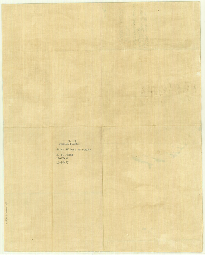
Fannin County Sketch File 7
1857

Fannin County Sketch File 8

Map of University Land part of Fifty League Grant Act of 1839
1905
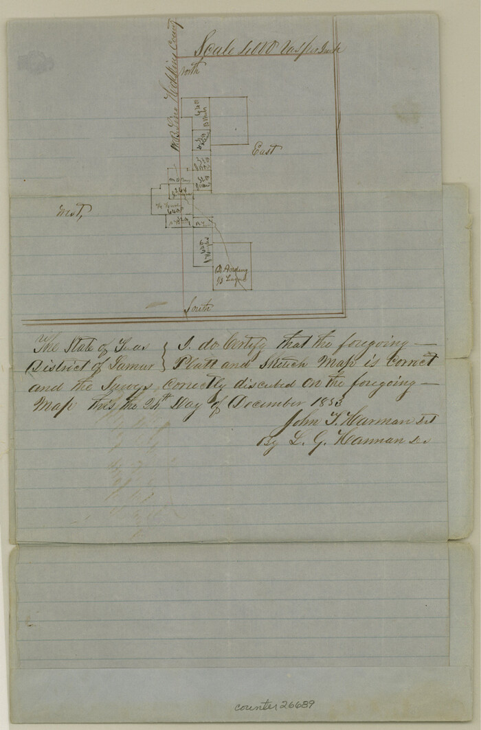
Hopkins County Sketch File 6
1853

Hopkins County Sketch File 9
1856

Hopkins County Sketch File 26
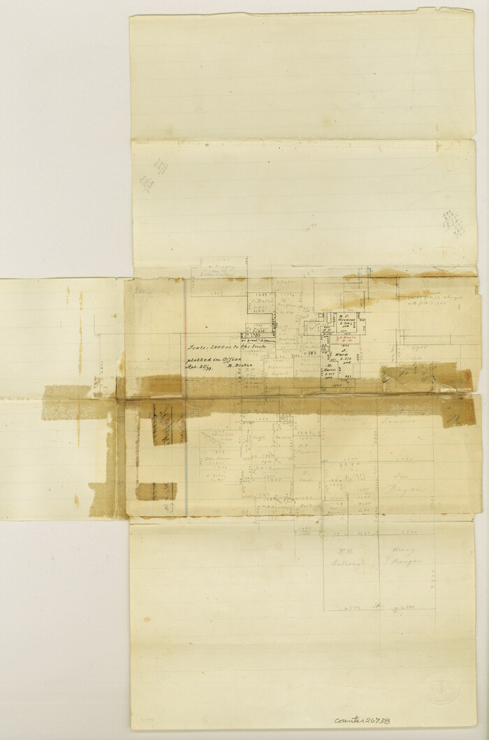
Hopkins County Sketch File 27
1873
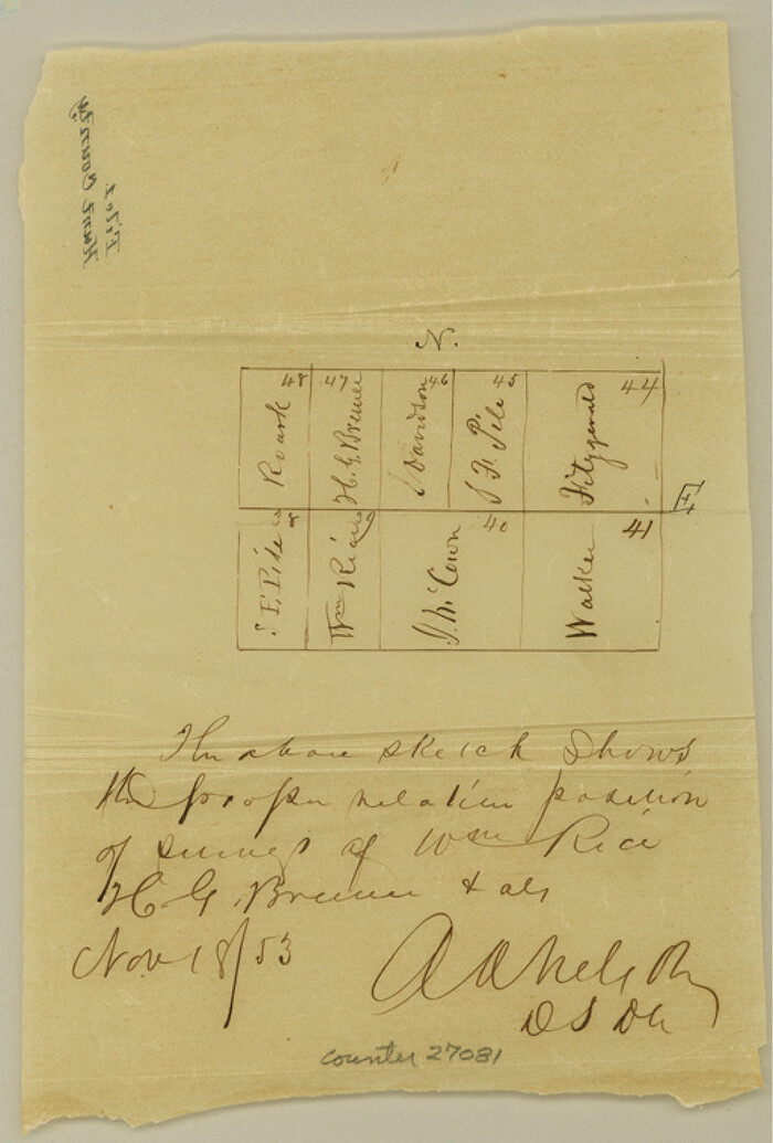
Hunt County Sketch File 1
1853

Hunt County Sketch File 2
1857

Hunt County Sketch File 3
1856

Hunt County Sketch File 4
1852
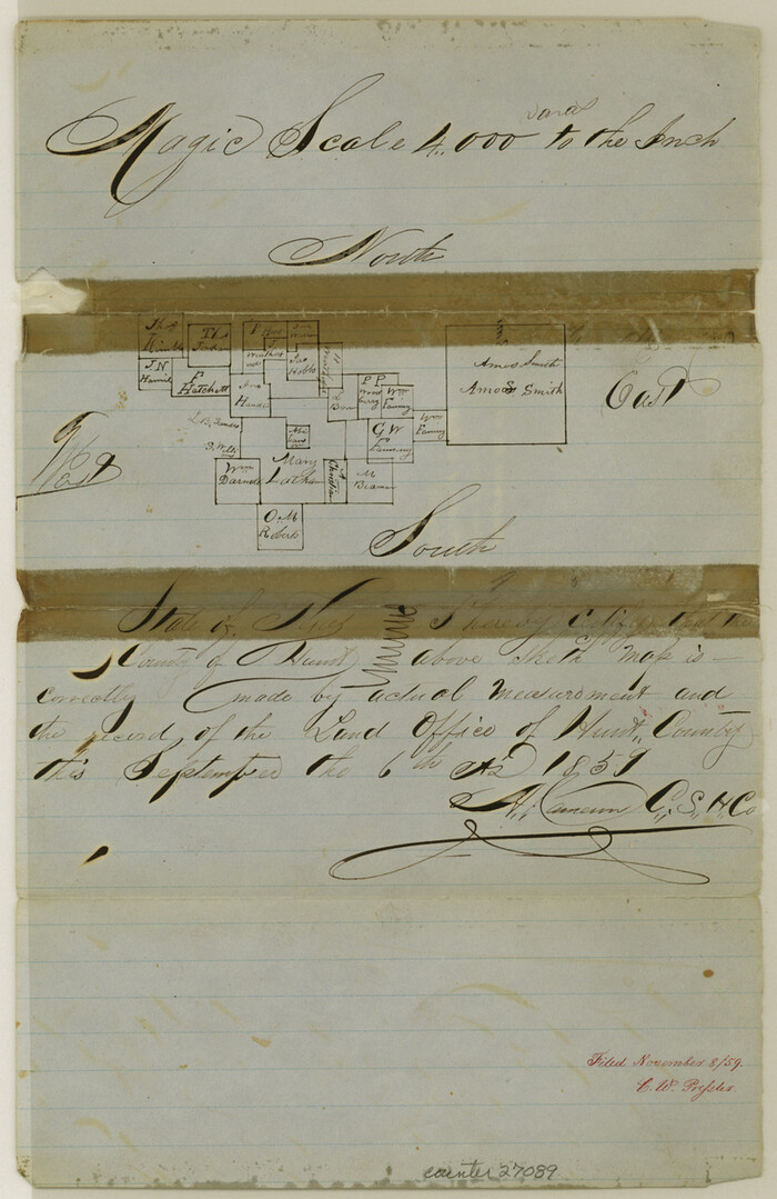
Hunt County Sketch File 4a
1859
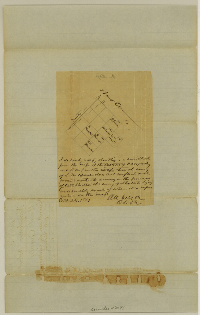
Hunt County Sketch File 5
1851

Hunt County Sketch File 5a
1852
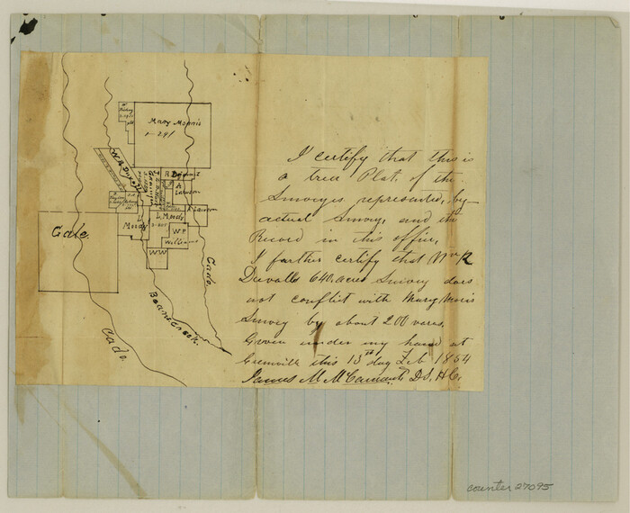
Hunt County Sketch File 7
1854

Hunt County Sketch File 8
1848
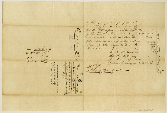
Hunt County Sketch File 9
1851
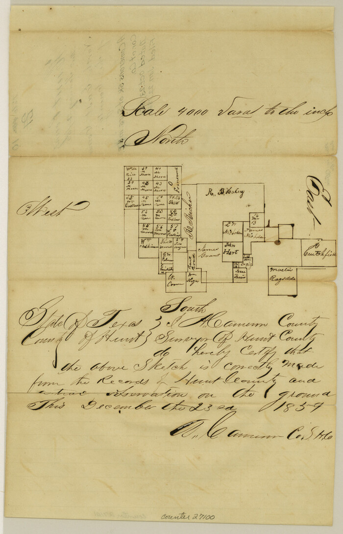
Hunt County Sketch File 10
1859

Hunt County Sketch File 11
1860

Hunt County Sketch File 12
1852

Hunt County Sketch File 13
1855

Hunt County Sketch File 14
1851

Hunt County Sketch File 16a
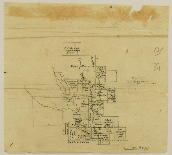
Hunt County Sketch File 16b

Hunt County Sketch File 17
1861
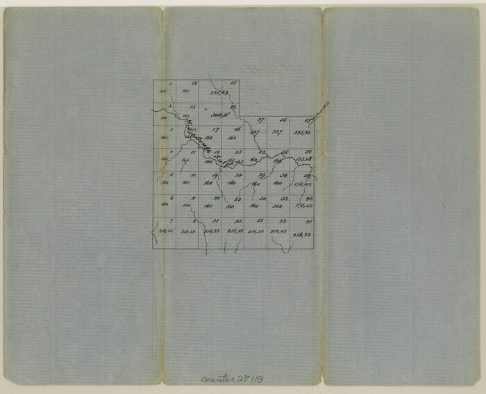
Hunt County Sketch File 19

Kaufman County Sketch File 10a
1871
-
Size
18.3 x 14.6 inches
-
Map/Doc
11906
-
Creation Date
1871

Map of Fannin County
1845
-
Size
34.7 x 36.5 inches
-
Map/Doc
16827
-
Creation Date
1845
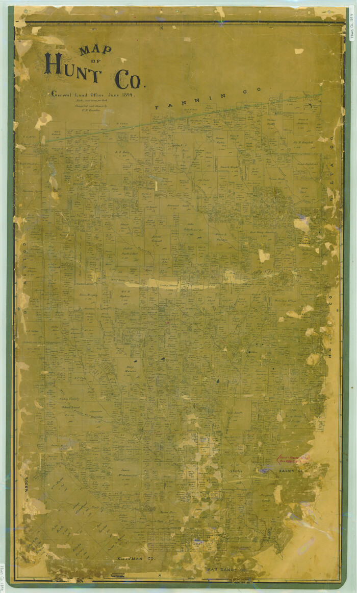
Map of Hunt Co.
1894
-
Size
49.7 x 30.0 inches
-
Map/Doc
16855
-
Creation Date
1894
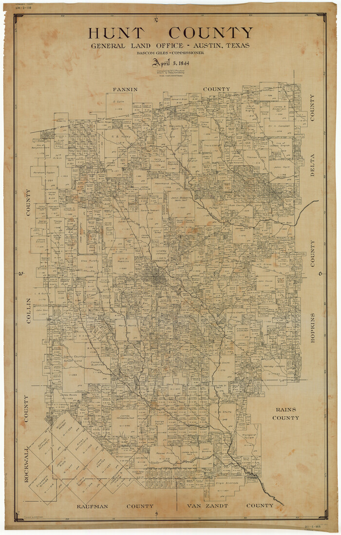
Hunt County
1944
-
Size
50.9 x 32.5 inches
-
Map/Doc
1862
-
Creation Date
1944

Fannin County Sketch File 7
1857
-
Size
16.8 x 13.5 inches
-
Map/Doc
22451
-
Creation Date
1857

Fannin County Sketch File 8
-
Size
8.7 x 13.3 inches
-
Map/Doc
22453

Map of University Land part of Fifty League Grant Act of 1839
1905
-
Size
40.7 x 28.7 inches
-
Map/Doc
2430
-
Creation Date
1905

Hopkins County Sketch File 6
1853
-
Size
12.4 x 8.1 inches
-
Map/Doc
26689
-
Creation Date
1853

Hopkins County Sketch File 9
1856
-
Size
12.8 x 8.3 inches
-
Map/Doc
26697
-
Creation Date
1856

Hopkins County Sketch File 26
-
Size
8.4 x 6.1 inches
-
Map/Doc
26736

Hopkins County Sketch File 27
1873
-
Size
16.6 x 11.0 inches
-
Map/Doc
26738
-
Creation Date
1873

Hunt County Sketch File 1
1853
-
Size
7.6 x 5.1 inches
-
Map/Doc
27081
-
Creation Date
1853

Hunt County Sketch File 2
1857
-
Size
10.1 x 7.8 inches
-
Map/Doc
27083
-
Creation Date
1857

Hunt County Sketch File 3
1856
-
Size
6.0 x 8.1 inches
-
Map/Doc
27085
-
Creation Date
1856

Hunt County Sketch File 4
1852
-
Size
12.1 x 7.7 inches
-
Map/Doc
27087
-
Creation Date
1852

Hunt County Sketch File 4a
1859
-
Size
12.6 x 8.2 inches
-
Map/Doc
27089
-
Creation Date
1859

Hunt County Sketch File 5
1851
-
Size
12.9 x 8.2 inches
-
Map/Doc
27091
-
Creation Date
1851

Hunt County Sketch File 5a
1852
-
Size
10.2 x 15.8 inches
-
Map/Doc
27093
-
Creation Date
1852

Hunt County Sketch File 7
1854
-
Size
8.2 x 10.0 inches
-
Map/Doc
27095
-
Creation Date
1854

Hunt County Sketch File 8
1848
-
Size
8.2 x 12.7 inches
-
Map/Doc
27097
-
Creation Date
1848

Hunt County Sketch File 9
1851
-
Size
10.0 x 14.8 inches
-
Map/Doc
27099
-
Creation Date
1851

Hunt County Sketch File 10
1859
-
Size
12.4 x 8.0 inches
-
Map/Doc
27100
-
Creation Date
1859

Hunt County Sketch File 11
1860
-
Size
12.1 x 7.6 inches
-
Map/Doc
27102
-
Creation Date
1860

Hunt County Sketch File 12
1852
-
Size
12.7 x 16.0 inches
-
Map/Doc
27104
-
Creation Date
1852

Hunt County Sketch File 13
1855
-
Size
12.4 x 8.1 inches
-
Map/Doc
27106
-
Creation Date
1855

Hunt County Sketch File 14
1851
-
Size
8.5 x 15.2 inches
-
Map/Doc
27107
-
Creation Date
1851

Hunt County Sketch File 16a
-
Size
4.6 x 8.1 inches
-
Map/Doc
27109

Hunt County Sketch File 16b
-
Size
6.7 x 7.4 inches
-
Map/Doc
27111

Hunt County Sketch File 17
1861
-
Size
10.6 x 8.2 inches
-
Map/Doc
27114
-
Creation Date
1861

Hunt County Sketch File 19
-
Size
8.2 x 10.1 inches
-
Map/Doc
27118