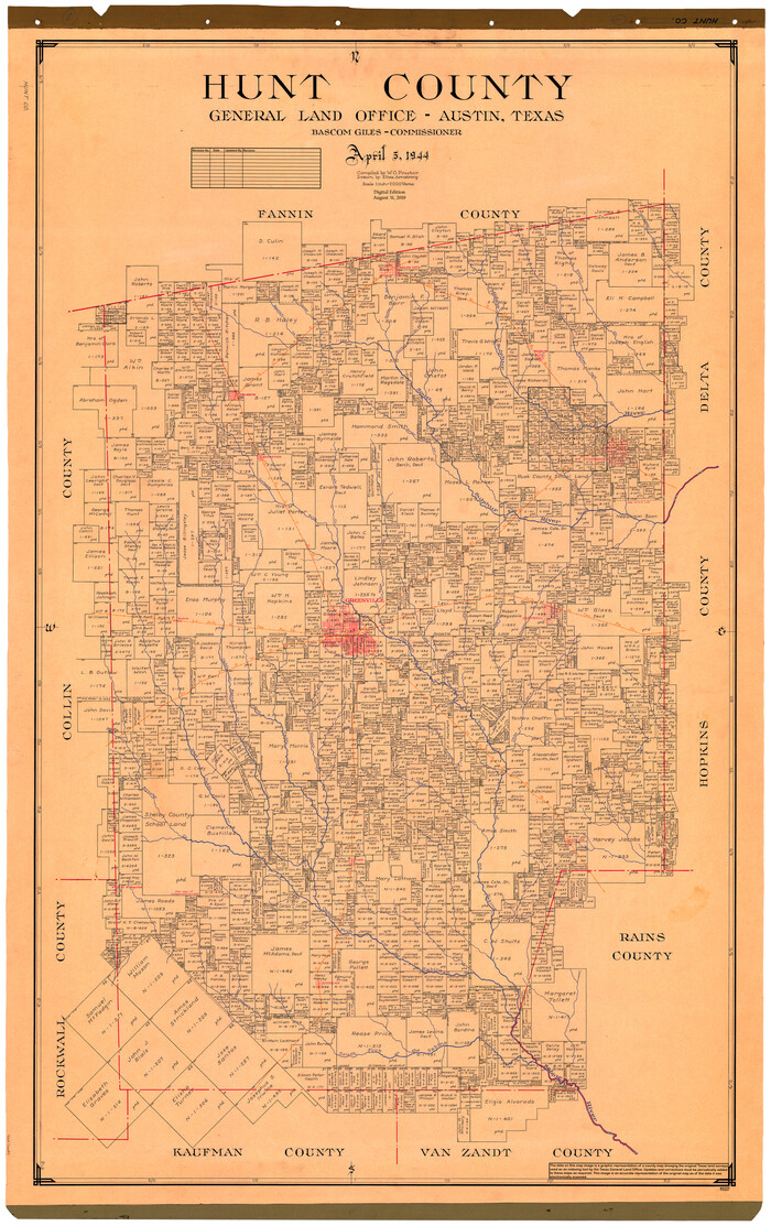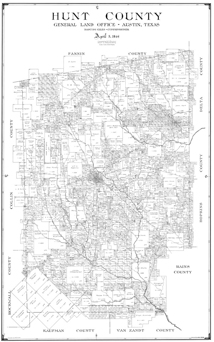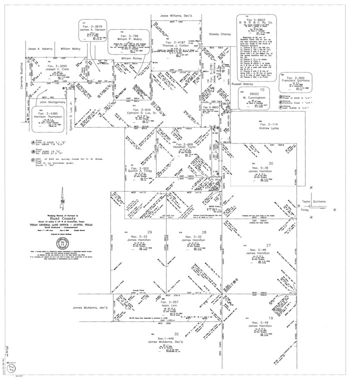
154 results

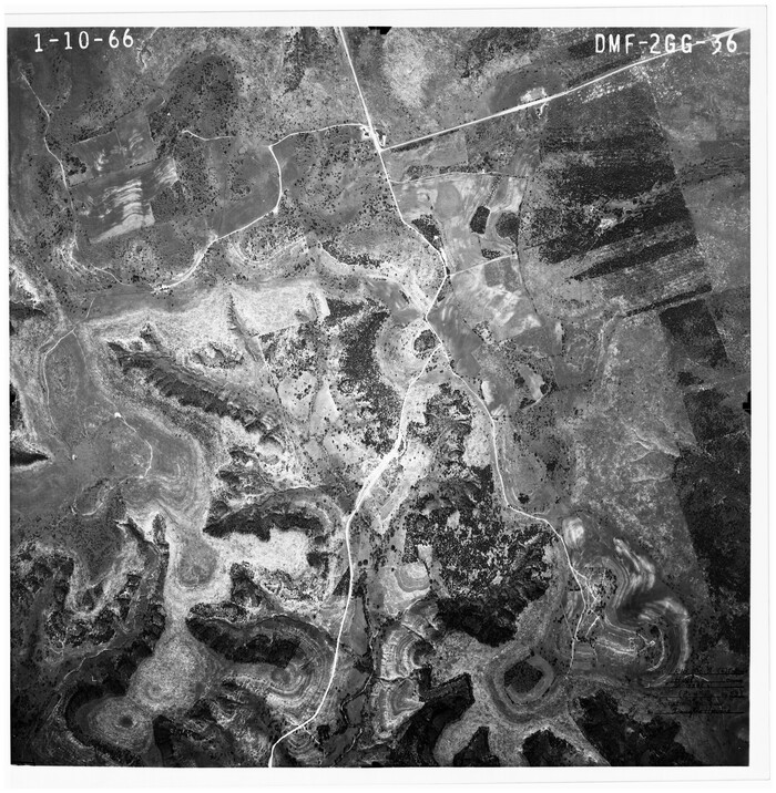
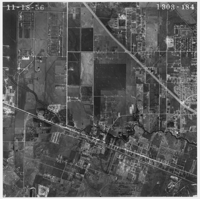
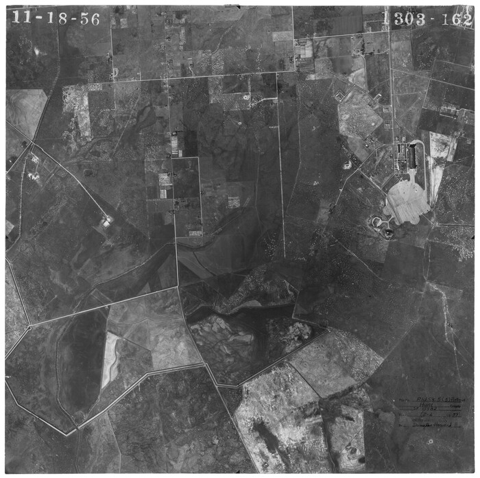
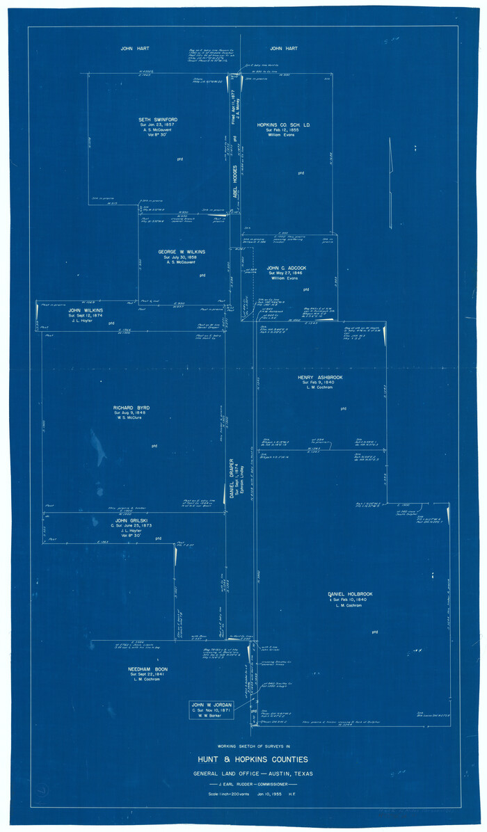
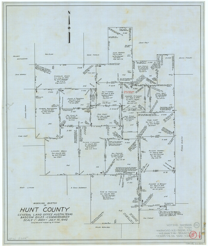
Hunt County Rolled Sketch 5
6273-1.tif
Print $20.00 - Digital $50.00

Hunt County Rolled Sketch 5

1966

Size: 24.7 x 24.4 inches
6273
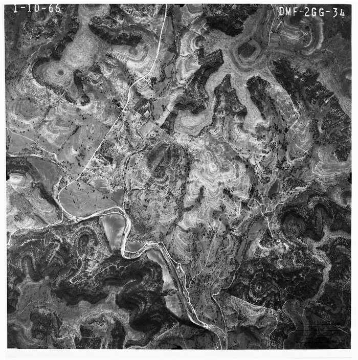
Hunt County Rolled Sketch 5
6274-1.tif
Print $20.00 - Digital $50.00

Hunt County Rolled Sketch 5

1966

Size: 23.9 x 23.7 inches
6274
Hunt County Rolled Sketch 5
6275-1.tif
Print $20.00 - Digital $50.00

Hunt County Rolled Sketch 5

1966

Size: 24.7 x 24.5 inches
6275
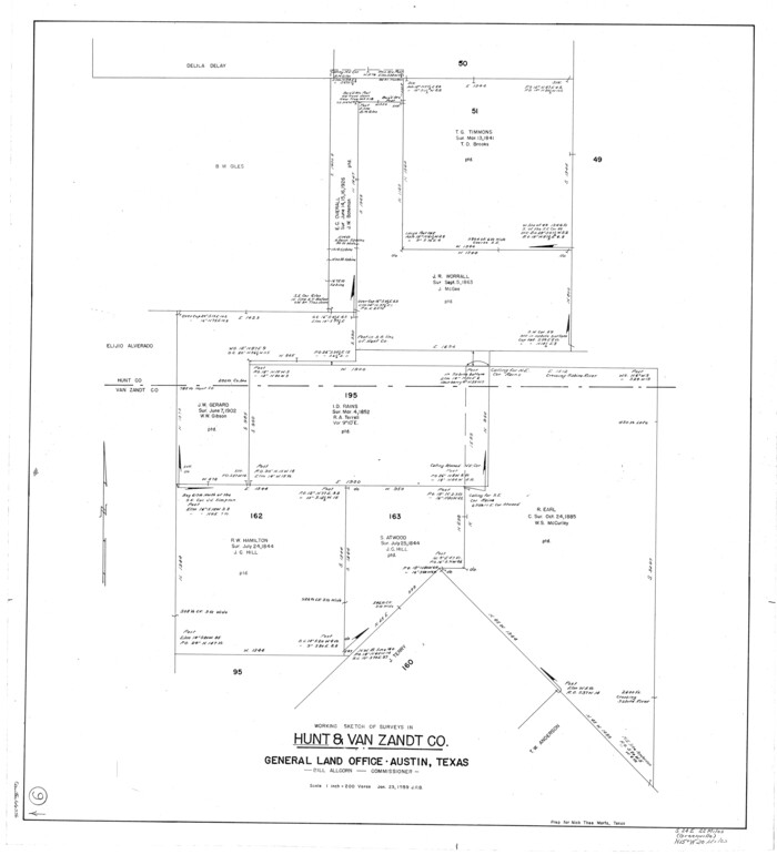
Hunt County Rolled Sketch 5
6276-1.tif
Print $20.00 - Digital $50.00

Hunt County Rolled Sketch 5

1966

Size: 24.6 x 24.2 inches
6276
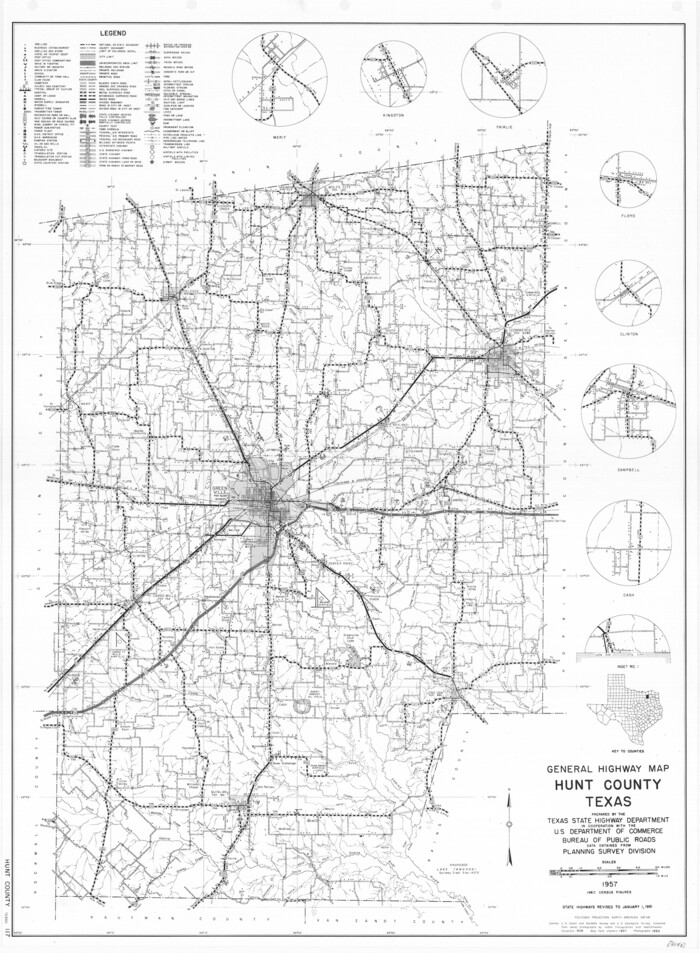
General Highway Map, Hunt County, Texas
79528.tif
Print $20.00

General Highway Map, Hunt County, Texas

1961

Size: 24.7 x 18.2 inches
79528
Hunt County Rolled Sketch 4
45992, Hunt County Rolled Sketch 4, General Map Collection
Print $209.00 - Digital $50.00

Hunt County Rolled Sketch 4

1959

Size: 10.4 x 15.2 inches
45992
Hunt County Rolled Sketch 3A
9241-1.tif
Print $40.00 - Digital $50.00

Hunt County Rolled Sketch 3A

1959

Size: 23.9 x 52.8 inches
9241
Hunt County Rolled Sketch 5
6271.tif
Print $20.00 - Digital $50.00

Hunt County Rolled Sketch 5

1956

Size: 22.9 x 23.0 inches
6271
Hunt County Rolled Sketch 5
6272.tif
Print $20.00 - Digital $50.00

Hunt County Rolled Sketch 5

1956

Size: 22.9 x 23.0 inches
6272
Hunt County Rolled Sketch 5
6268-1.tif
Print $20.00 - Digital $50.00

Hunt County Rolled Sketch 5

1956

Size: 28.6 x 24.3 inches
6268
Hunt County Rolled Sketch 5
6269-1.tif
Print $20.00 - Digital $50.00

Hunt County Rolled Sketch 5

1956

Size: 27.5 x 24.3 inches
6269
Hunt County Rolled Sketch 5
6270-1.tif
Print $20.00 - Digital $50.00

Hunt County Rolled Sketch 5

1956

Size: 27.6 x 24.8 inches
6270
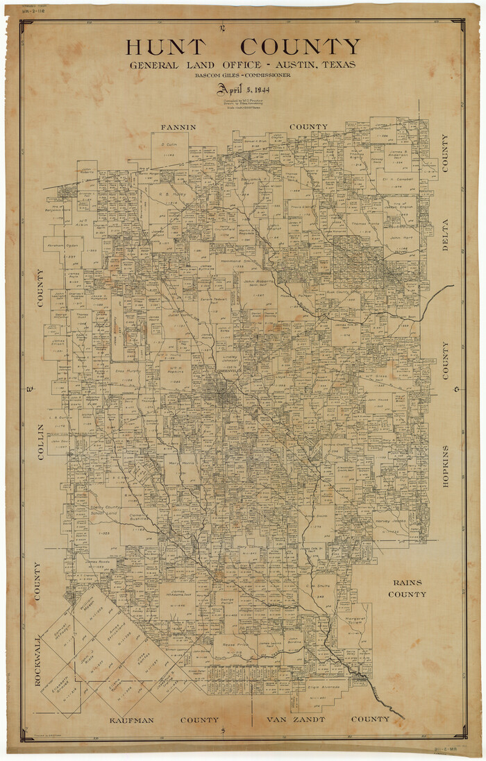
Hunt County
1862-GC.tif
Print $40.00 - Digital $50.00

Hunt County

1944

Size: 50.9 x 32.5 inches
1862
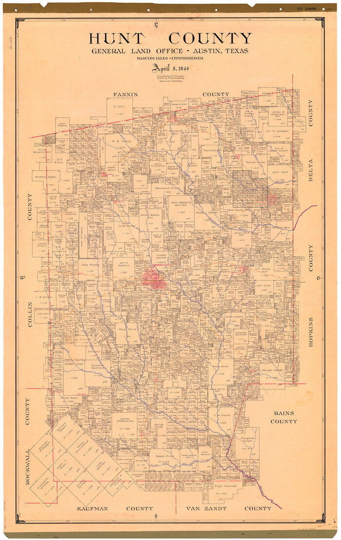
Hunt County
73187.tif
Print $40.00 - Digital $50.00

Hunt County

1944

Size: 51.1 x 33.0 inches
73187
Hunt County Working Sketch Graphic Index
76585.tif
Print $40.00 - Digital $50.00

Hunt County Working Sketch Graphic Index

1944
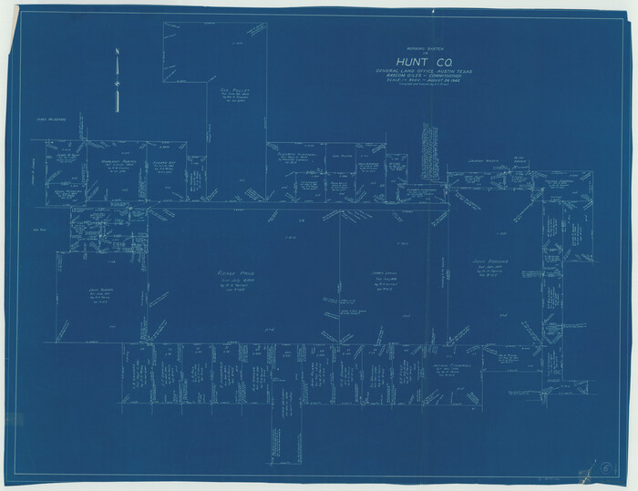
Size: 50.5 x 37.0 inches
76585
Hunt County
95537.tif
Print $40.00 - Digital $50.00

Hunt County

1944

Size: 52.7 x 33.9 inches
95537
Hunt County
77320.tif
Print $20.00 - Digital $50.00

Hunt County

1944

Size: 41.4 x 25.9 inches
77320
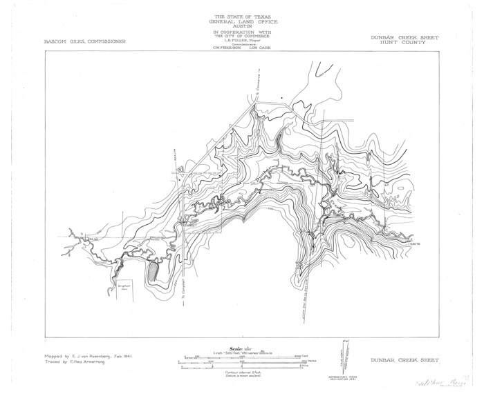
Sulphur River, Dunbar Creek Sheet
65174.tif
Print $4.00 - Digital $50.00

Sulphur River, Dunbar Creek Sheet

1941
Size: 17.2 x 20.9 inches
65174
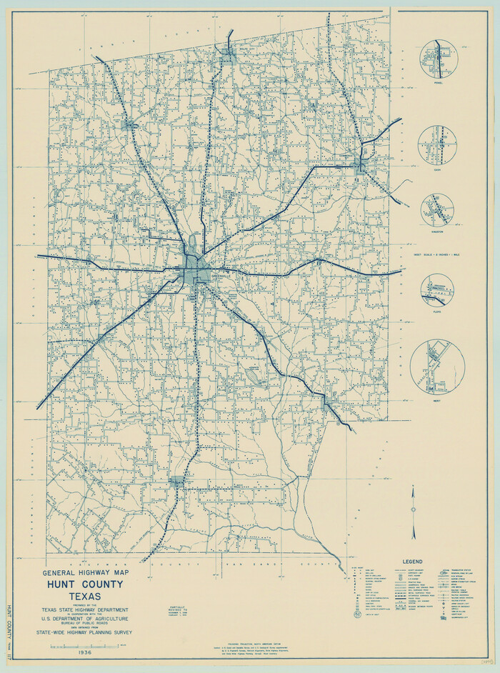
General Highway Map, Hunt County, Texas
79136.tif
Print $20.00

General Highway Map, Hunt County, Texas

1940

Size: 25.0 x 18.5 inches
79136
Sabine River, Free Bridge Sheet
65143.tif
Print $40.00 - Digital $50.00

Sabine River, Free Bridge Sheet

1936

Size: 27.2 x 50.6 inches
65143
Sabine River, Rocky Ford Crossing Sheet/Cowleach Fork of the Sabine River
65144.tif
Print $20.00 - Digital $50.00

Sabine River, Rocky Ford Crossing Sheet/Cowleach Fork of the Sabine River

1936
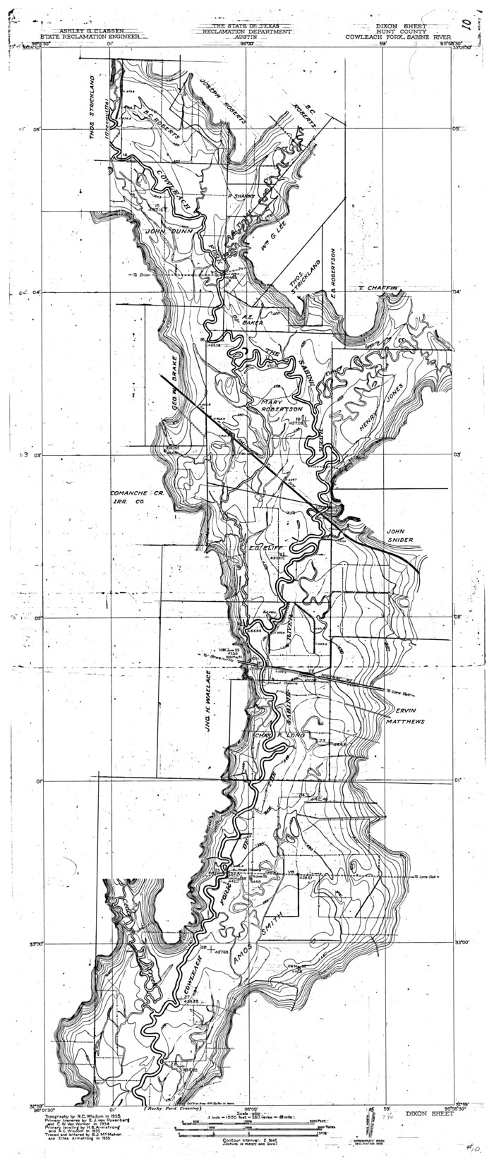
Size: 38.9 x 29.2 inches
65144
Sabine River, Dixon Sheet/Cowleach Fork of the Sabine River
65145.tif
Print $20.00 - Digital $50.00

Sabine River, Dixon Sheet/Cowleach Fork of the Sabine River

1935
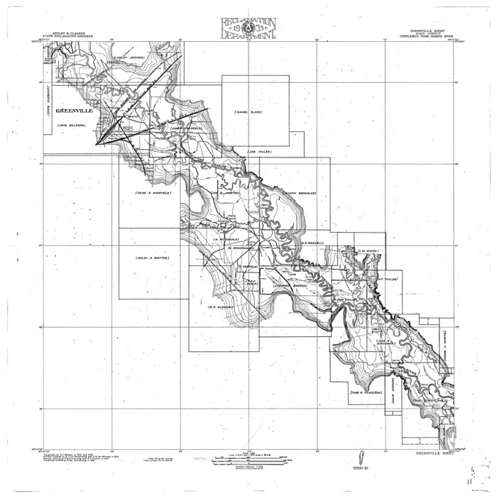
Size: 44.0 x 18.5 inches
65145
Sabine River, Greenville Sheet/Cowleach Fork of the Sabine River
65146.tif
Print $20.00 - Digital $50.00

Sabine River, Greenville Sheet/Cowleach Fork of the Sabine River

1935

Size: 37.2 x 37.1 inches
65146
Water-Shed of the Sulphur River in Texas Drainage Area
65154.tif
Print $4.00 - Digital $50.00

Water-Shed of the Sulphur River in Texas Drainage Area

1925

Size: 16.6 x 28.4 inches
65154
Middle Sulphur and South Sulphur Rivers, Horton Sheet
65171.tif
Print $20.00 - Digital $50.00

Middle Sulphur and South Sulphur Rivers, Horton Sheet

1925

Size: 42.2 x 40.3 inches
65171
Middle Sulphur and South Sulphur Rivers, Horton Sheet
78330.tif
Print $20.00 - Digital $50.00

Middle Sulphur and South Sulphur Rivers, Horton Sheet

1925

Size: 25.6 x 22.0 inches
78330
[Rease Price and Surrounding Surveys]
91228-1.tif
Print $20.00 - Digital $50.00

[Rease Price and Surrounding Surveys]

1924

Size: 18.7 x 12.7 inches
91228
Hunt County Sketch File 39
27159, Hunt County Sketch File 39, General Map Collection
Print $8.00 - Digital $50.00

Hunt County Sketch File 39

1922

Size: 14.3 x 8.8 inches
27159
Right of Way and Track Map of The Missouri, Kansas & Texas Railway of Texas
64525.tif
Print $40.00 - Digital $50.00

Right of Way and Track Map of The Missouri, Kansas & Texas Railway of Texas

1918

Size: 25.6 x 52.6 inches
64525
Right of Way and Track Map of The Missouri, Kansas & Texas Railway of Texas
64526.tif
Print $40.00 - Digital $50.00

Right of Way and Track Map of The Missouri, Kansas & Texas Railway of Texas

1918

Size: 25.9 x 108.3 inches
64526
Hunt County Rolled Sketch 5
6273, Hunt County Rolled Sketch 5, General Map Collection
Print $20.00 - Digital $50.00

Hunt County Rolled Sketch 5

1966

  • Size

    24.7 x 24.4 inches

  • Map/Doc

    6273

  • Creation Date

    1966

Hunt County Rolled Sketch 5
6274, Hunt County Rolled Sketch 5, General Map Collection
Print $20.00 - Digital $50.00

Hunt County Rolled Sketch 5

1966

  • Size

    23.9 x 23.7 inches

  • Map/Doc

    6274

  • Creation Date

    1966

Hunt County Rolled Sketch 5
6275, Hunt County Rolled Sketch 5, General Map Collection
Print $20.00 - Digital $50.00

Hunt County Rolled Sketch 5

1966

  • Size

    24.7 x 24.5 inches

  • Map/Doc

    6275

  • Creation Date

    1966

Hunt County Rolled Sketch 5
6276, Hunt County Rolled Sketch 5, General Map Collection
Print $20.00 - Digital $50.00

Hunt County Rolled Sketch 5

1966

  • Size

    24.6 x 24.2 inches

  • Map/Doc

    6276

  • Creation Date

    1966

General Highway Map, Hunt County, Texas
79528, General Highway Map, Hunt County, Texas, Texas State Library and Archives
Print $20.00

General Highway Map, Hunt County, Texas

1961

  • Size

    24.7 x 18.2 inches

  • Map/Doc

    79528

  • Creation Date

    1961

Hunt County Rolled Sketch 4
45992, Hunt County Rolled Sketch 4, General Map Collection
Print $209.00 - Digital $50.00

Hunt County Rolled Sketch 4

1959

  • Size

    10.4 x 15.2 inches

  • Map/Doc

    45992

  • Creation Date

    1959

Hunt County Rolled Sketch 3A
9241, Hunt County Rolled Sketch 3A, General Map Collection
Print $40.00 - Digital $50.00

Hunt County Rolled Sketch 3A

1959

  • Size

    23.9 x 52.8 inches

  • Map/Doc

    9241

  • Creation Date

    1959

Hunt County Rolled Sketch 5
6271, Hunt County Rolled Sketch 5, General Map Collection
Print $20.00 - Digital $50.00

Hunt County Rolled Sketch 5

1956

  • Size

    22.9 x 23.0 inches

  • Map/Doc

    6271

  • Creation Date

    1956

Hunt County Rolled Sketch 5
6272, Hunt County Rolled Sketch 5, General Map Collection
Print $20.00 - Digital $50.00

Hunt County Rolled Sketch 5

1956

  • Size

    22.9 x 23.0 inches

  • Map/Doc

    6272

  • Creation Date

    1956

Hunt County Rolled Sketch 5
6268, Hunt County Rolled Sketch 5, General Map Collection
Print $20.00 - Digital $50.00

Hunt County Rolled Sketch 5

1956

  • Size

    28.6 x 24.3 inches

  • Map/Doc

    6268

  • Creation Date

    1956

Hunt County Rolled Sketch 5
6269, Hunt County Rolled Sketch 5, General Map Collection
Print $20.00 - Digital $50.00

Hunt County Rolled Sketch 5

1956

  • Size

    27.5 x 24.3 inches

  • Map/Doc

    6269

  • Creation Date

    1956

Hunt County Rolled Sketch 5
6270, Hunt County Rolled Sketch 5, General Map Collection
Print $20.00 - Digital $50.00

Hunt County Rolled Sketch 5

1956

  • Size

    27.6 x 24.8 inches

  • Map/Doc

    6270

  • Creation Date

    1956

Hunt County
1862, Hunt County, General Map Collection
Print $40.00 - Digital $50.00

Hunt County

1944

  • Size

    50.9 x 32.5 inches

  • Map/Doc

    1862

  • Creation Date

    1944

Hunt County
73187, Hunt County, General Map Collection
Print $40.00 - Digital $50.00

Hunt County

1944

  • Size

    51.1 x 33.0 inches

  • Map/Doc

    73187

  • Creation Date

    1944

Hunt County Working Sketch Graphic Index
76585, Hunt County Working Sketch Graphic Index, General Map Collection
Print $40.00 - Digital $50.00

Hunt County Working Sketch Graphic Index

1944

  • Size

    50.5 x 37.0 inches

  • Map/Doc

    76585

  • Creation Date

    1944

Hunt County
95537, Hunt County, General Map Collection
Print $40.00 - Digital $50.00

Hunt County

1944

  • Size

    52.7 x 33.9 inches

  • Map/Doc

    95537

  • Creation Date

    1944

Hunt County
77320, Hunt County, General Map Collection
Print $20.00 - Digital $50.00

Hunt County

1944

  • Size

    41.4 x 25.9 inches

  • Map/Doc

    77320

  • Creation Date

    1944

Sulphur River, Dunbar Creek Sheet
65174, Sulphur River, Dunbar Creek Sheet, General Map Collection
Print $4.00 - Digital $50.00

Sulphur River, Dunbar Creek Sheet

1941

  • Size

    17.2 x 20.9 inches

  • Map/Doc

    65174

  • Creation Date

    1941

General Highway Map, Hunt County, Texas
79136, General Highway Map, Hunt County, Texas, Texas State Library and Archives
Print $20.00

General Highway Map, Hunt County, Texas

1940

  • Size

    25.0 x 18.5 inches

  • Map/Doc

    79136

  • Creation Date

    1940

Sabine River, Free Bridge Sheet
65143, Sabine River, Free Bridge Sheet, General Map Collection
Print $40.00 - Digital $50.00

Sabine River, Free Bridge Sheet

1936

  • Size

    27.2 x 50.6 inches

  • Map/Doc

    65143

  • Creation Date

    1936

Sabine River, Rocky Ford Crossing Sheet/Cowleach Fork of the Sabine River
65144, Sabine River, Rocky Ford Crossing Sheet/Cowleach Fork of the Sabine River, General Map Collection
Print $20.00 - Digital $50.00

Sabine River, Rocky Ford Crossing Sheet/Cowleach Fork of the Sabine River

1936

  • Size

    38.9 x 29.2 inches

  • Map/Doc

    65144

  • Creation Date

    1936

Sabine River, Dixon Sheet/Cowleach Fork of the Sabine River
65145, Sabine River, Dixon Sheet/Cowleach Fork of the Sabine River, General Map Collection
Print $20.00 - Digital $50.00

Sabine River, Dixon Sheet/Cowleach Fork of the Sabine River

1935

  • Size

    44.0 x 18.5 inches

  • Map/Doc

    65145

  • Creation Date

    1935

Sabine River, Greenville Sheet/Cowleach Fork of the Sabine River
65146, Sabine River, Greenville Sheet/Cowleach Fork of the Sabine River, General Map Collection
Print $20.00 - Digital $50.00

Sabine River, Greenville Sheet/Cowleach Fork of the Sabine River

1935

  • Size

    37.2 x 37.1 inches

  • Map/Doc

    65146

  • Creation Date

    1935

Water-Shed of the Sulphur River in Texas Drainage Area
65154, Water-Shed of the Sulphur River in Texas Drainage Area, General Map Collection
Print $4.00 - Digital $50.00

Water-Shed of the Sulphur River in Texas Drainage Area

1925

  • Size

    16.6 x 28.4 inches

  • Map/Doc

    65154

  • Creation Date

    1925

Middle Sulphur and South Sulphur Rivers, Horton Sheet
65171, Middle Sulphur and South Sulphur Rivers, Horton Sheet, General Map Collection
Print $20.00 - Digital $50.00

Middle Sulphur and South Sulphur Rivers, Horton Sheet

1925

  • Size

    42.2 x 40.3 inches

  • Map/Doc

    65171

  • Creation Date

    1925

Middle Sulphur and South Sulphur Rivers, Horton Sheet
78330, Middle Sulphur and South Sulphur Rivers, Horton Sheet, General Map Collection
Print $20.00 - Digital $50.00

Middle Sulphur and South Sulphur Rivers, Horton Sheet

1925

  • Size

    25.6 x 22.0 inches

  • Map/Doc

    78330

  • Creation Date

    1925

[Rease Price and Surrounding Surveys]
91228, [Rease Price and Surrounding Surveys], Twichell Survey Records
Print $20.00 - Digital $50.00

[Rease Price and Surrounding Surveys]

1924

  • Size

    18.7 x 12.7 inches

  • Map/Doc

    91228

  • Creation Date

    1924

Hunt County Sketch File 39
27159, Hunt County Sketch File 39, General Map Collection
Print $8.00 - Digital $50.00

Hunt County Sketch File 39

1922

  • Size

    14.3 x 8.8 inches

  • Map/Doc

    27159

  • Creation Date

    1922

Right of Way and Track Map of The Missouri, Kansas & Texas Railway of Texas
64525, Right of Way and Track Map of The Missouri, Kansas & Texas Railway of Texas, General Map Collection
Print $40.00 - Digital $50.00

Right of Way and Track Map of The Missouri, Kansas & Texas Railway of Texas

1918

  • Size

    25.6 x 52.6 inches

  • Map/Doc

    64525

  • Creation Date

    1918

Right of Way and Track Map of The Missouri, Kansas & Texas Railway of Texas
64526, Right of Way and Track Map of The Missouri, Kansas & Texas Railway of Texas, General Map Collection
Print $40.00 - Digital $50.00

Right of Way and Track Map of The Missouri, Kansas & Texas Railway of Texas

1918

  • Size

    25.9 x 108.3 inches

  • Map/Doc

    64526

  • Creation Date

    1918