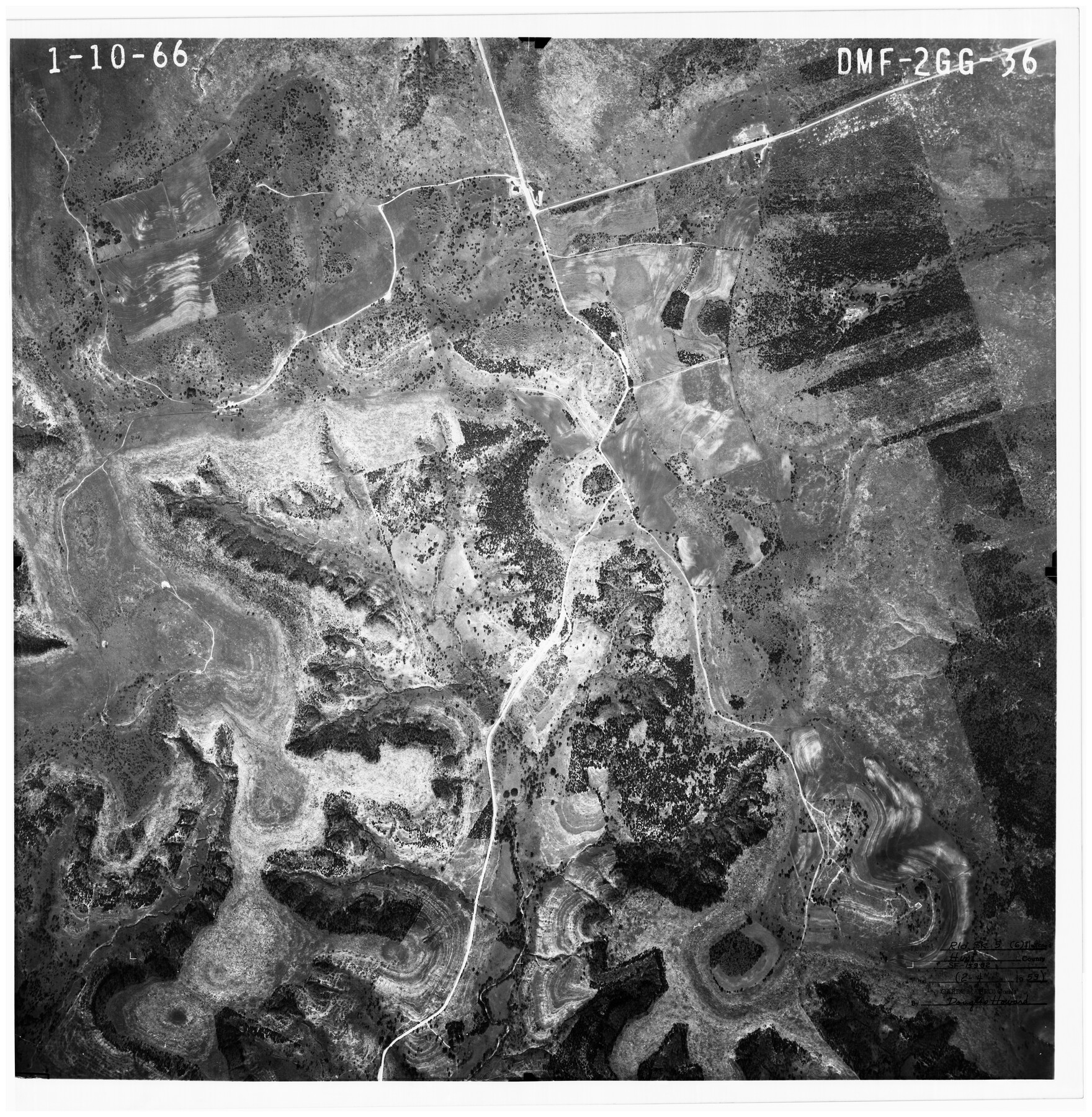
Hunt County Rolled Sketch 5
[Aerial photo relating to SF-15982]
-
Map/Doc
6273
-
Collection
General Map Collection
-
Object Dates
1/10/1966 (Creation Date)
-
Counties
Hunt
-
Subjects
Surveying Rolled Sketch
-
Height x Width
24.7 x 24.4 inches
62.7 x 62.0 cm
-
Medium
photograph
Part of: General Map Collection
Carta Geografica Della Florida Nell America Settentrionale

Print $20.00
- Digital $50.00
Carta Geografica Della Florida Nell America Settentrionale
1740
Size 14.1 x 18.5 inches
Map/Doc 89222
Refugio County Sketch File 1

Print $8.00
- Digital $50.00
Refugio County Sketch File 1
1846
Size 12.6 x 7.8 inches
Map/Doc 35235
Burnet County Working Sketch 22

Print $40.00
- Digital $50.00
Burnet County Working Sketch 22
1986
Size 40.5 x 50.9 inches
Map/Doc 67865
Maps & Lists Showing Prison Lands (Oil & Gas) Leased as of June 1955

Digital $50.00
Maps & Lists Showing Prison Lands (Oil & Gas) Leased as of June 1955
Size 11.2 x 8.8 inches
Map/Doc 62874
Hudspeth County Sketch File 47

Print $30.00
- Digital $50.00
Hudspeth County Sketch File 47
1978
Size 14.5 x 8.9 inches
Map/Doc 27050
Culberson County Working Sketch 24

Print $20.00
- Digital $50.00
Culberson County Working Sketch 24
1947
Size 36.8 x 36.2 inches
Map/Doc 68477
Tom Green County Working Sketch 13

Print $20.00
- Digital $50.00
Tom Green County Working Sketch 13
1981
Size 34.3 x 26.4 inches
Map/Doc 69382
Railroad Track Map, H&TCRRCo., Falls County, Texas

Print $4.00
- Digital $50.00
Railroad Track Map, H&TCRRCo., Falls County, Texas
1918
Size 11.7 x 18.4 inches
Map/Doc 62862
Flight Mission No. CUI-1H, Frame 97, Milam County

Print $20.00
- Digital $50.00
Flight Mission No. CUI-1H, Frame 97, Milam County
1951
Size 18.5 x 22.2 inches
Map/Doc 86605
Fayette County Working Sketch 9

Print $20.00
- Digital $50.00
Fayette County Working Sketch 9
1981
Size 34.4 x 32.3 inches
Map/Doc 69173
Map of the Harlem State Farm and the Central State Farm, Fort Bend County, Texas

Print $20.00
- Digital $50.00
Map of the Harlem State Farm and the Central State Farm, Fort Bend County, Texas
Size 35.7 x 32.1 inches
Map/Doc 62995
You may also like
Pecos County Sketch File 36

Print $20.00
- Digital $50.00
Pecos County Sketch File 36
Size 24.9 x 35.3 inches
Map/Doc 12176
Flight Mission No. DIX-5P, Frame 145, Aransas County

Print $20.00
- Digital $50.00
Flight Mission No. DIX-5P, Frame 145, Aransas County
1956
Size 17.8 x 18.1 inches
Map/Doc 83806
Orange County Working Sketch 23

Print $20.00
- Digital $50.00
Orange County Working Sketch 23
1940
Size 12.4 x 15.7 inches
Map/Doc 71355
[Sections 59-70, I. & G. N. Block 1 and Runnels County School Land League 3]
![91680, [Sections 59-70, I. & G. N. Block 1 and Runnels County School Land League 3], Twichell Survey Records](https://historictexasmaps.com/wmedia_w700/maps/91680-1.tif.jpg)
Print $20.00
- Digital $50.00
[Sections 59-70, I. & G. N. Block 1 and Runnels County School Land League 3]
Size 22.7 x 20.4 inches
Map/Doc 91680
[Block B9 and 3KA]
![90483, [Block B9 and 3KA], Twichell Survey Records](https://historictexasmaps.com/wmedia_w700/maps/90483-1.tif.jpg)
Print $20.00
- Digital $50.00
[Block B9 and 3KA]
Size 23.6 x 16.3 inches
Map/Doc 90483
Upton County Rolled Sketch 24

Print $20.00
- Digital $50.00
Upton County Rolled Sketch 24
1886
Size 17.3 x 43.5 inches
Map/Doc 10043
Presidio County Working Sketch 55

Print $20.00
- Digital $50.00
Presidio County Working Sketch 55
1955
Size 22.0 x 16.9 inches
Map/Doc 71732
Panola County Working Sketch 38

Print $20.00
- Digital $50.00
Panola County Working Sketch 38
1991
Map/Doc 71447
King County Boundary File 5a

Print $40.00
- Digital $50.00
King County Boundary File 5a
Size 10.3 x 38.1 inches
Map/Doc 64922
North Sulphur River, Mt. Joy Sheet

Print $20.00
- Digital $50.00
North Sulphur River, Mt. Joy Sheet
1926
Size 18.4 x 21.6 inches
Map/Doc 78333
Austin County Boundary File 3

Print $2.00
- Digital $50.00
Austin County Boundary File 3
Size 14.3 x 8.6 inches
Map/Doc 50243
Burnet County Boundary File 12b

Print $8.00
- Digital $50.00
Burnet County Boundary File 12b
Size 12.8 x 8.4 inches
Map/Doc 50960