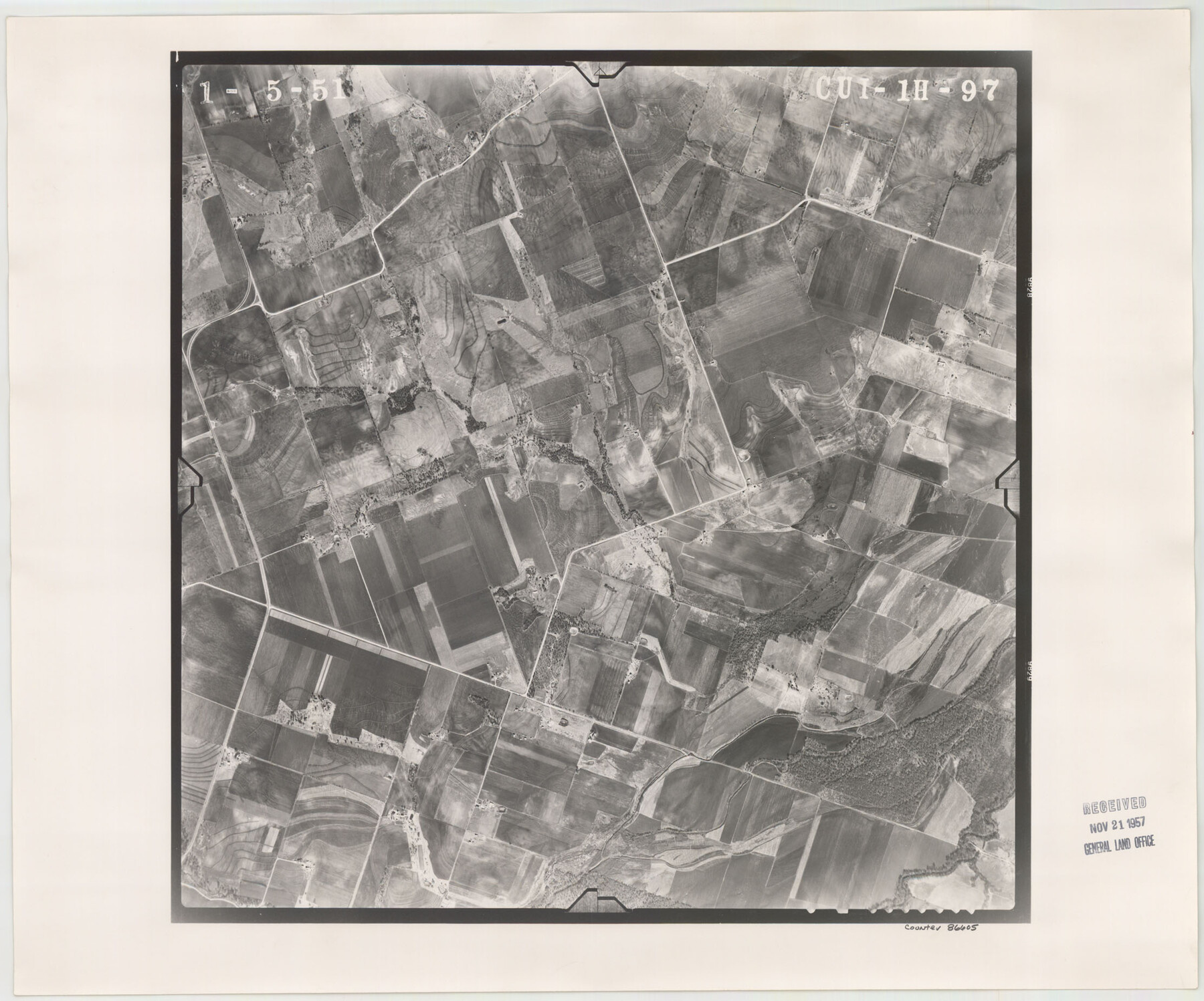
Flight Mission No. CUI-1H, Frame 97, Milam County
CUI-1H-97
-
Map/Doc
86605
-
Collection
General Map Collection
-
Object Dates
1951/1/5 (Creation Date)
-
People and Organizations
U. S. Department of Agriculture (Publisher)
-
Counties
Milam
-
Subjects
Aerial Photograph
-
Height x Width
18.5 x 22.2 inches
47.0 x 56.4 cm
-
Comments
Flown by Robinson Aerial Surveys, Inc. of Newark 7 , New Jersey.
Part of: General Map Collection
Lee County Working Sketch 8

Print $20.00
- Digital $50.00
Lee County Working Sketch 8
1979
Size 27.8 x 37.1 inches
Map/Doc 70387
Bexar County Sketch File 25

Print $4.00
- Digital $50.00
Bexar County Sketch File 25
1860
Size 8.9 x 8.7 inches
Map/Doc 14486
Pecos County Sketch File 91

Print $20.00
- Digital $50.00
Pecos County Sketch File 91
1951
Size 20.9 x 14.0 inches
Map/Doc 12184
Montgomery County Sketch File 13

Print $40.00
- Digital $50.00
Montgomery County Sketch File 13
1900
Size 17.8 x 14.8 inches
Map/Doc 31803
Flight Mission No. CRC-4R, Frame 160, Chambers County

Print $20.00
- Digital $50.00
Flight Mission No. CRC-4R, Frame 160, Chambers County
1956
Size 18.5 x 22.3 inches
Map/Doc 84919
Tyler County Sketch File 9

Print $4.00
- Digital $50.00
Tyler County Sketch File 9
Size 8.6 x 6.7 inches
Map/Doc 38644
Edwards County Working Sketch 123

Print $20.00
- Digital $50.00
Edwards County Working Sketch 123
1976
Size 18.3 x 25.2 inches
Map/Doc 68999
Map of Jasper County

Print $20.00
- Digital $50.00
Map of Jasper County
1839
Size 40.2 x 28.8 inches
Map/Doc 78407
Reagan County Working Sketch 30

Print $40.00
- Digital $50.00
Reagan County Working Sketch 30
1963
Size 31.9 x 57.3 inches
Map/Doc 71872
Guadalupe County Sketch File 3a

Print $4.00
- Digital $50.00
Guadalupe County Sketch File 3a
1849
Size 10.7 x 8.2 inches
Map/Doc 24652
Flight Mission No. CRK-3P, Frame 70, Refugio County

Print $20.00
- Digital $50.00
Flight Mission No. CRK-3P, Frame 70, Refugio County
1956
Size 18.6 x 22.5 inches
Map/Doc 86912
Atascosa County Sketch File 2b

Print $6.00
- Digital $50.00
Atascosa County Sketch File 2b
1855
Size 8.8 x 13.2 inches
Map/Doc 13728
You may also like
Dimmit County Sketch File 3

Print $4.00
- Digital $50.00
Dimmit County Sketch File 3
1874
Size 10.1 x 8.0 inches
Map/Doc 21058
Bexar County State Real Property Sketch 5

Print $40.00
- Digital $50.00
Bexar County State Real Property Sketch 5
2019
Size 48.0 x 35.8 inches
Map/Doc 95710
Flight Mission No. DIX-6P, Frame 114, Aransas County

Print $20.00
- Digital $50.00
Flight Mission No. DIX-6P, Frame 114, Aransas County
1956
Size 19.1 x 23.0 inches
Map/Doc 83820
Ellis County Working Sketch Graphic Index

Print $20.00
- Digital $50.00
Ellis County Working Sketch Graphic Index
1943
Size 43.1 x 47.7 inches
Map/Doc 76535
Liberty County Rolled Sketch L

Print $20.00
- Digital $50.00
Liberty County Rolled Sketch L
1950
Size 34.4 x 23.9 inches
Map/Doc 6624
Map of Cooke County

Print $20.00
- Digital $50.00
Map of Cooke County
1868
Size 21.7 x 17.9 inches
Map/Doc 3439

Angelina County Sketch File 11c

Print $7.00
- Digital $50.00
Angelina County Sketch File 11c
Size 11.1 x 6.0 inches
Map/Doc 12946
Runnels County Working Sketch 35b

Print $20.00
- Digital $50.00
Runnels County Working Sketch 35b
1981
Size 36.0 x 38.6 inches
Map/Doc 63634
Gillespie County Working Sketch 7

Print $40.00
- Digital $50.00
Gillespie County Working Sketch 7
1984
Size 57.5 x 43.2 inches
Map/Doc 63170
Howard McCauley Irrigated Farm North Half Section 2, Block D4

Print $20.00
- Digital $50.00
Howard McCauley Irrigated Farm North Half Section 2, Block D4
1946
Size 32.0 x 19.4 inches
Map/Doc 92342
