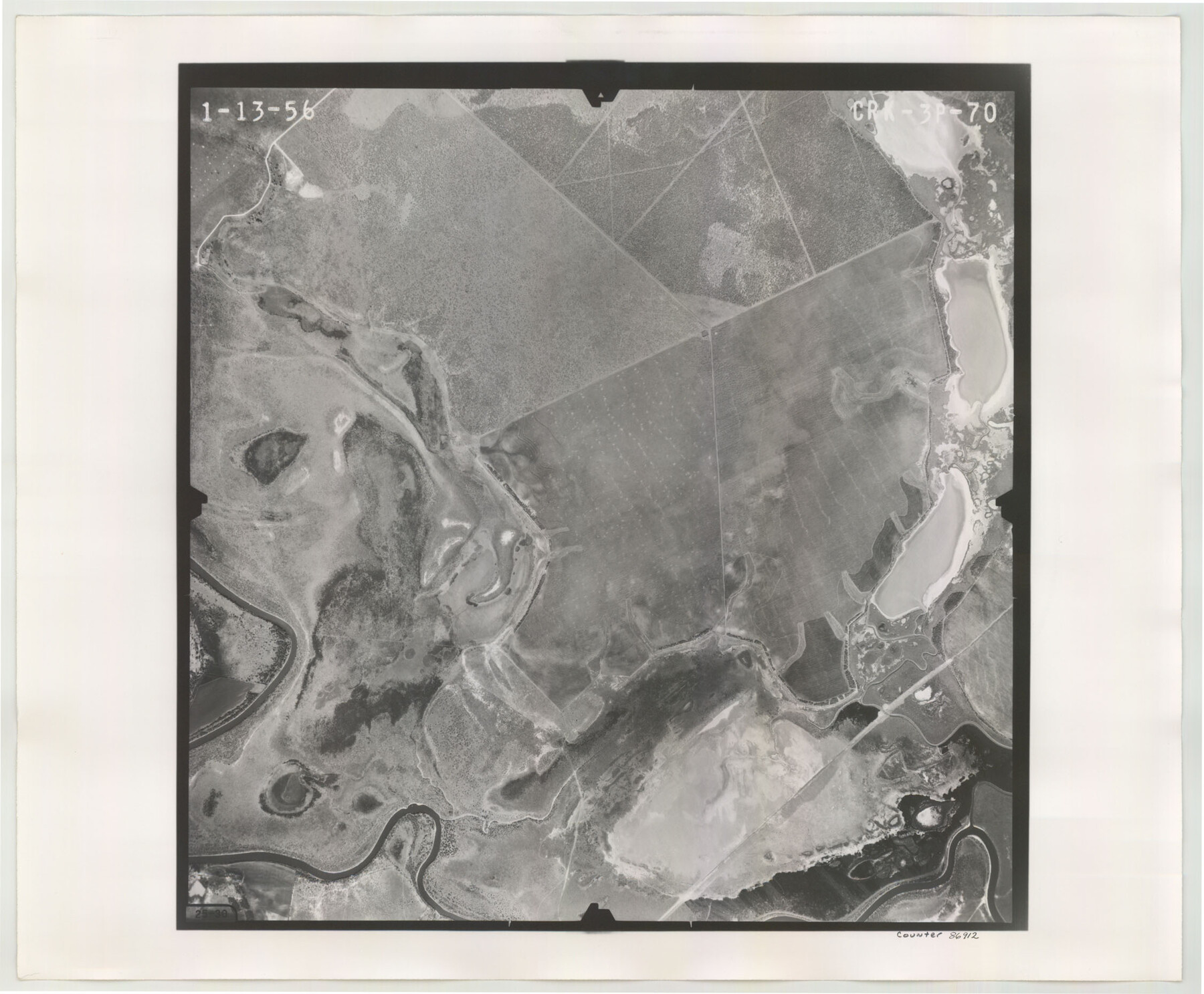
Flight Mission No. CRK-3P, Frame 70, Refugio County
CRK-3P-70
-
Map/Doc
86912
-
Collection
General Map Collection
-
Object Dates
1956/1/13 (Creation Date)
-
People and Organizations
U. S. Department of Agriculture (Publisher)
-
Counties
Refugio
-
Subjects
Aerial Photograph
-
Height x Width
18.6 x 22.5 inches
47.2 x 57.2 cm
-
Comments
Flown by V. L. Beavers and Associates of San Antonio, Texas.
Part of: General Map Collection
Crockett County Sketch File 97

Print $20.00
- Digital $50.00
Crockett County Sketch File 97
Size 14.1 x 9.3 inches
Map/Doc 19966

Outer Continental Shelf Leasing Maps (Texas Offshore Operations)

Print $20.00
- Digital $50.00
Outer Continental Shelf Leasing Maps (Texas Offshore Operations)
1954
Size 16.2 x 15.7 inches
Map/Doc 75837
Flight Mission No. BRA-16M, Frame 172, Jefferson County

Print $20.00
- Digital $50.00
Flight Mission No. BRA-16M, Frame 172, Jefferson County
1953
Size 18.6 x 22.3 inches
Map/Doc 85770
Gaines County Rolled Sketch 15B

Print $40.00
- Digital $50.00
Gaines County Rolled Sketch 15B
Size 207.7 x 26.0 inches
Map/Doc 9037
Hansford County Sketch File 11

Print $6.00
- Digital $50.00
Hansford County Sketch File 11
Size 11.2 x 8.7 inches
Map/Doc 24972
Runnels County Boundary File 2a

Print $8.00
- Digital $50.00
Runnels County Boundary File 2a
Size 11.5 x 8.8 inches
Map/Doc 58526
Jeff Davis County Sketch File 13

Print $14.00
- Digital $50.00
Jeff Davis County Sketch File 13
1889
Size 13.9 x 8.5 inches
Map/Doc 27941
Kinney County Sketch File 27

Print $42.00
- Digital $50.00
Kinney County Sketch File 27
1929
Size 32.4 x 13.2 inches
Map/Doc 11946

Red River County Working Sketch 42

Print $20.00
- Digital $50.00
Red River County Working Sketch 42
1968
Size 28.7 x 36.8 inches
Map/Doc 72025
Armstrong County Boundary File 3

Print $14.00
- Digital $50.00
Armstrong County Boundary File 3
Size 11.3 x 8.8 inches
Map/Doc 50141
You may also like
Dallas County Boundary File 2

Print $10.00
- Digital $50.00
Dallas County Boundary File 2
Size 11.2 x 8.4 inches
Map/Doc 52115
Montgomery County Working Sketch 75

Print $40.00
- Digital $50.00
Montgomery County Working Sketch 75
1986
Size 30.9 x 82.8 inches
Map/Doc 71182
San Patricio County Rolled Sketch 53D

Print $20.00
- Digital $50.00
San Patricio County Rolled Sketch 53D
Size 20.1 x 22.1 inches
Map/Doc 7739
Marion County Rolled Sketch 2

Print $40.00
- Digital $50.00
Marion County Rolled Sketch 2
1954
Size 82.7 x 43.2 inches
Map/Doc 76446
Hutchinson County Sketch File 12

Print $40.00
- Digital $50.00
Hutchinson County Sketch File 12
1908
Size 16.1 x 15.7 inches
Map/Doc 27211
Right-of-Way & Track Map, Houston & Brazos Valley Ry. operated by Houston & Brazos Valley Ry.

Print $40.00
- Digital $50.00
Right-of-Way & Track Map, Houston & Brazos Valley Ry. operated by Houston & Brazos Valley Ry.
1918
Size 25.0 x 56.3 inches
Map/Doc 64603
Ward County Working Sketch 12

Print $20.00
- Digital $50.00
Ward County Working Sketch 12
1947
Size 23.4 x 22.7 inches
Map/Doc 72318

Kinney County Sketch File 38

Print $8.00
- Digital $50.00
Kinney County Sketch File 38
1882
Size 14.3 x 8.7 inches
Map/Doc 29188
Burnet County Sketch File 40

Print $4.00
- Digital $50.00
Burnet County Sketch File 40
Size 14.2 x 8.6 inches
Map/Doc 16755
Haskell County Sketch File 10

Print $8.00
- Digital $50.00
Haskell County Sketch File 10
Size 13.0 x 8.2 inches
Map/Doc 26136
Aransas County Rolled Sketch 7A

Print $20.00
- Digital $50.00
Aransas County Rolled Sketch 7A
1954
Size 30.5 x 37.6 inches
Map/Doc 76009