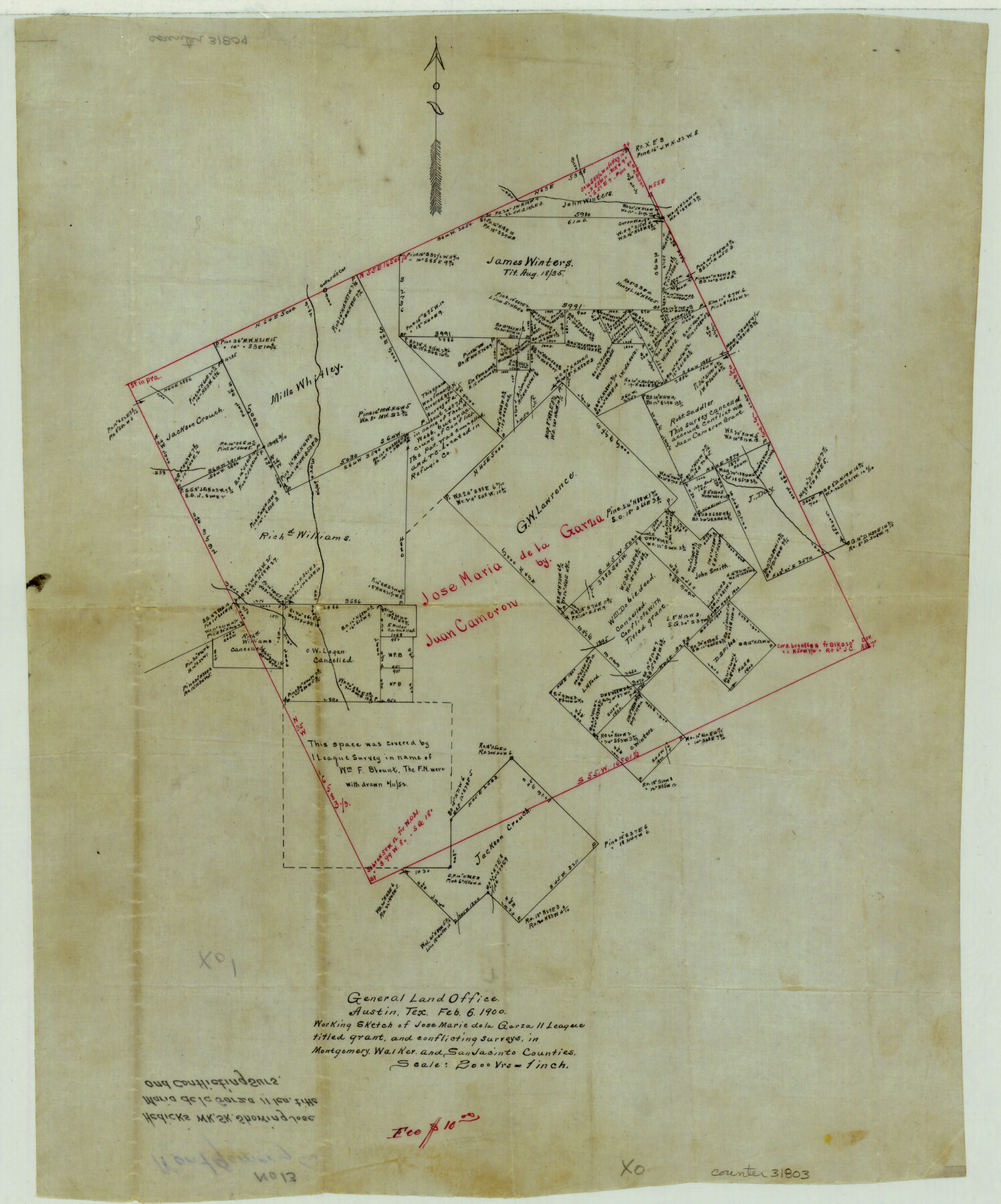
Montgomery County Sketch File 13
Working sketch of Jose Maria de la Garza 11 League titled grant and conflicting surveys in Montgomery, Walker, and San Jacinto Counties
-
Map/Doc
31803
-
Collection
General Map Collection
-
Object Dates
2/6/1900 (Creation Date)
-
People and Organizations
Hedick (Draftsman)
-
Counties
Montgomery Walker San Jacinto
-
Subjects
Surveying Sketch File
-
Height x Width
17.8 x 14.8 inches
45.2 x 37.6 cm
-
Medium
paper, manuscript
-
Scale
1" = 2000 varas
-
Features
Maraday Creek
Part of: General Map Collection
Liberty County Working Sketch 61

Print $20.00
- Digital $50.00
Liberty County Working Sketch 61
1969
Size 43.3 x 32.0 inches
Map/Doc 70521
Tom Green County Sketch File 62

Print $20.00
- Digital $50.00
Tom Green County Sketch File 62
1890
Size 27.7 x 43.9 inches
Map/Doc 10405

Polk County Rolled Sketch 26

Print $20.00
- Digital $50.00
Polk County Rolled Sketch 26
Size 26.3 x 38.0 inches
Map/Doc 7314
Andrews County Rolled Sketch 6

Print $40.00
- Digital $50.00
Andrews County Rolled Sketch 6
1928
Size 43.9 x 56.9 inches
Map/Doc 8363
Flight Mission No. DQO-8K, Frame 16, Galveston County

Print $20.00
- Digital $50.00
Flight Mission No. DQO-8K, Frame 16, Galveston County
1952
Size 18.8 x 22.4 inches
Map/Doc 85139
Val Verde County Rolled Sketch 60

Print $20.00
- Digital $50.00
Val Verde County Rolled Sketch 60
1951
Size 32.4 x 20.4 inches
Map/Doc 8127
Winkler County Sketch File 1 and 2

Print $64.00
- Digital $50.00
Winkler County Sketch File 1 and 2
1900
Size 8.4 x 9.2 inches
Map/Doc 40431
Howard County Rolled Sketch 9

Print $20.00
- Digital $50.00
Howard County Rolled Sketch 9
1940
Size 35.2 x 26.9 inches
Map/Doc 6239
Fannin County Rolled Sketch 18E

Print $2.00
- Digital $50.00
Fannin County Rolled Sketch 18E
Size 9.5 x 8.2 inches
Map/Doc 5872
Kendall County Sketch File 24

Print $8.00
- Digital $50.00
Kendall County Sketch File 24
Size 13.1 x 8.7 inches
Map/Doc 28718
Maverick County Working Sketch 1

Print $20.00
- Digital $50.00
Maverick County Working Sketch 1
1906
Size 11.5 x 11.1 inches
Map/Doc 70893
You may also like
Hardeman County Sketch File 3

Print $8.00
- Digital $50.00
Hardeman County Sketch File 3
1880
Size 14.2 x 8.8 inches
Map/Doc 24987
Sutton County Sketch File 61

Print $14.00
- Digital $50.00
Sutton County Sketch File 61
1986
Size 11.2 x 8.9 inches
Map/Doc 37557
Map of Crockett Co.

Print $20.00
- Digital $50.00
Map of Crockett Co.
1894
Size 32.6 x 44.1 inches
Map/Doc 4725
San Saba County

Print $40.00
- Digital $50.00
San Saba County
1918
Size 49.0 x 43.0 inches
Map/Doc 63023
Montague County Working Sketch 32

Print $20.00
- Digital $50.00
Montague County Working Sketch 32
1975
Size 26.0 x 26.1 inches
Map/Doc 71098
Hill Ranch, Gaines County, Texas

Print $20.00
- Digital $50.00
Hill Ranch, Gaines County, Texas
1951
Size 21.2 x 16.6 inches
Map/Doc 92680
Sandhills Water Rights Survey, City of Lubbock, Texas

Print $40.00
- Digital $50.00
Sandhills Water Rights Survey, City of Lubbock, Texas
1957
Size 76.1 x 31.4 inches
Map/Doc 93211
Pecos County Working Sketch Graphic index - northwest part - sheet A

Print $20.00
- Digital $50.00
Pecos County Working Sketch Graphic index - northwest part - sheet A
1975
Size 42.2 x 42.6 inches
Map/Doc 76663
La Salle County Sketch File 26

Print $4.00
- Digital $50.00
La Salle County Sketch File 26
Size 12.5 x 8.0 inches
Map/Doc 29551
Eastland County Working Sketch 50

Print $20.00
- Digital $50.00
Eastland County Working Sketch 50
1981
Size 38.7 x 39.6 inches
Map/Doc 68831
Jeff Davis County Working Sketch 40

Print $20.00
- Digital $50.00
Jeff Davis County Working Sketch 40
1981
Size 19.6 x 37.6 inches
Map/Doc 66535
Flight Mission No. CLL-1N, Frame 158, Willacy County

Print $20.00
- Digital $50.00
Flight Mission No. CLL-1N, Frame 158, Willacy County
1954
Size 18.4 x 22.1 inches
Map/Doc 87049