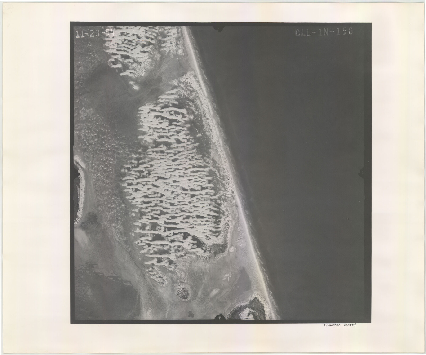
Flight Mission No. CLL-1N, Frame 158, Willacy County
CLL-1N-158
-
Map/Doc
87049
-
Collection
General Map Collection
-
Object Dates
1954/11/20 (Creation Date)
-
People and Organizations
U. S. Department of Agriculture (Publisher)
-
Counties
Willacy
-
Subjects
Aerial Photograph
-
Height x Width
18.4 x 22.1 inches
46.7 x 56.1 cm
-
Comments
Flown by Puckett Aerial Surveys, Inc. of Jackson, Mississippi.
Part of: General Map Collection
El Paso County Rolled Sketch 36

Print $40.00
- Digital $50.00
El Paso County Rolled Sketch 36
1916
Size 43.3 x 77.6 inches
Map/Doc 8863
Aransas County Boundary File 5a

Print $14.00
- Digital $50.00
Aransas County Boundary File 5a
Size 11.3 x 8.7 inches
Map/Doc 49796
Bastrop County

Print $20.00
- Digital $50.00
Bastrop County
1879
Size 21.5 x 19.5 inches
Map/Doc 3277
Williamson County Sketch File 27

Print $12.00
- Digital $50.00
Williamson County Sketch File 27
1940
Size 14.3 x 8.7 inches
Map/Doc 40371
Duval County Working Sketch 24

Print $20.00
- Digital $50.00
Duval County Working Sketch 24
1944
Size 40.0 x 27.3 inches
Map/Doc 68748
Pecos County Sketch File 76

Print $4.00
- Digital $50.00
Pecos County Sketch File 76
1943
Size 11.2 x 8.8 inches
Map/Doc 33907
Winkler County Working Sketch 19

Print $20.00
- Digital $50.00
Winkler County Working Sketch 19
1990
Size 29.4 x 25.7 inches
Map/Doc 72613
Gaines County Rolled Sketch 2

Print $40.00
- Digital $50.00
Gaines County Rolled Sketch 2
1901
Size 23.3 x 70.9 inches
Map/Doc 9012
Upton County Working Sketch 24

Print $20.00
- Digital $50.00
Upton County Working Sketch 24
1953
Size 36.7 x 39.2 inches
Map/Doc 69520
Flight Mission No. BRA-7M, Frame 35, Jefferson County

Print $20.00
- Digital $50.00
Flight Mission No. BRA-7M, Frame 35, Jefferson County
1953
Size 18.7 x 22.4 inches
Map/Doc 85486
Texas City Heights being a subdivision of the east half of the Robert Logan one third league, Galveston County, Texas

Print $20.00
- Digital $50.00
Texas City Heights being a subdivision of the east half of the Robert Logan one third league, Galveston County, Texas
1895
Size 22.4 x 17.3 inches
Map/Doc 95356
Gillespie County Rolled Sketch 1

Print $20.00
- Digital $50.00
Gillespie County Rolled Sketch 1
1956
Size 19.7 x 36.1 inches
Map/Doc 6008
You may also like
Map of the United States, the British Provinces, Mexico &c. Showing the Routes of the U.S. Mail Steam Packets to California and a Plan of the Gold Region

Print $20.00
- Digital $50.00
Map of the United States, the British Provinces, Mexico &c. Showing the Routes of the U.S. Mail Steam Packets to California and a Plan of the Gold Region
1849
Size 19.6 x 26.6 inches
Map/Doc 95695
Hardeman County Sketch File 2

Print $6.00
- Digital $50.00
Hardeman County Sketch File 2
1879
Size 9.0 x 7.7 inches
Map/Doc 24984
Dawson County Working Sketch 21

Print $20.00
- Digital $50.00
Dawson County Working Sketch 21
1963
Size 24.0 x 24.0 inches
Map/Doc 68565
Flight Mission No. DQO-7K, Frame 76, Galveston County

Print $20.00
- Digital $50.00
Flight Mission No. DQO-7K, Frame 76, Galveston County
1952
Size 18.8 x 22.5 inches
Map/Doc 85103
Nolan County Boundary File 2

Print $52.00
- Digital $50.00
Nolan County Boundary File 2
Size 8.7 x 8.1 inches
Map/Doc 57649
Uvalde County Sketch File 8

Print $6.00
- Digital $50.00
Uvalde County Sketch File 8
1882
Size 8.4 x 6.2 inches
Map/Doc 38964
El Paso County Sketch File 18

Print $20.00
- Digital $50.00
El Paso County Sketch File 18
Size 19.0 x 23.8 inches
Map/Doc 11454
Rusk County Working Sketch 1

Print $20.00
- Digital $50.00
Rusk County Working Sketch 1
Size 14.2 x 23.1 inches
Map/Doc 63636
Jasper County Rolled Sketch 7B

Print $20.00
- Digital $50.00
Jasper County Rolled Sketch 7B
Size 19.7 x 11.6 inches
Map/Doc 6355
McMullen County Working Sketch 21

Print $40.00
- Digital $50.00
McMullen County Working Sketch 21
1947
Size 38.3 x 53.4 inches
Map/Doc 70722

Jefferson County Rolled Sketch 18

Print $40.00
- Digital $50.00
Jefferson County Rolled Sketch 18
1931
Size 19.1 x 72.8 inches
Map/Doc 9282