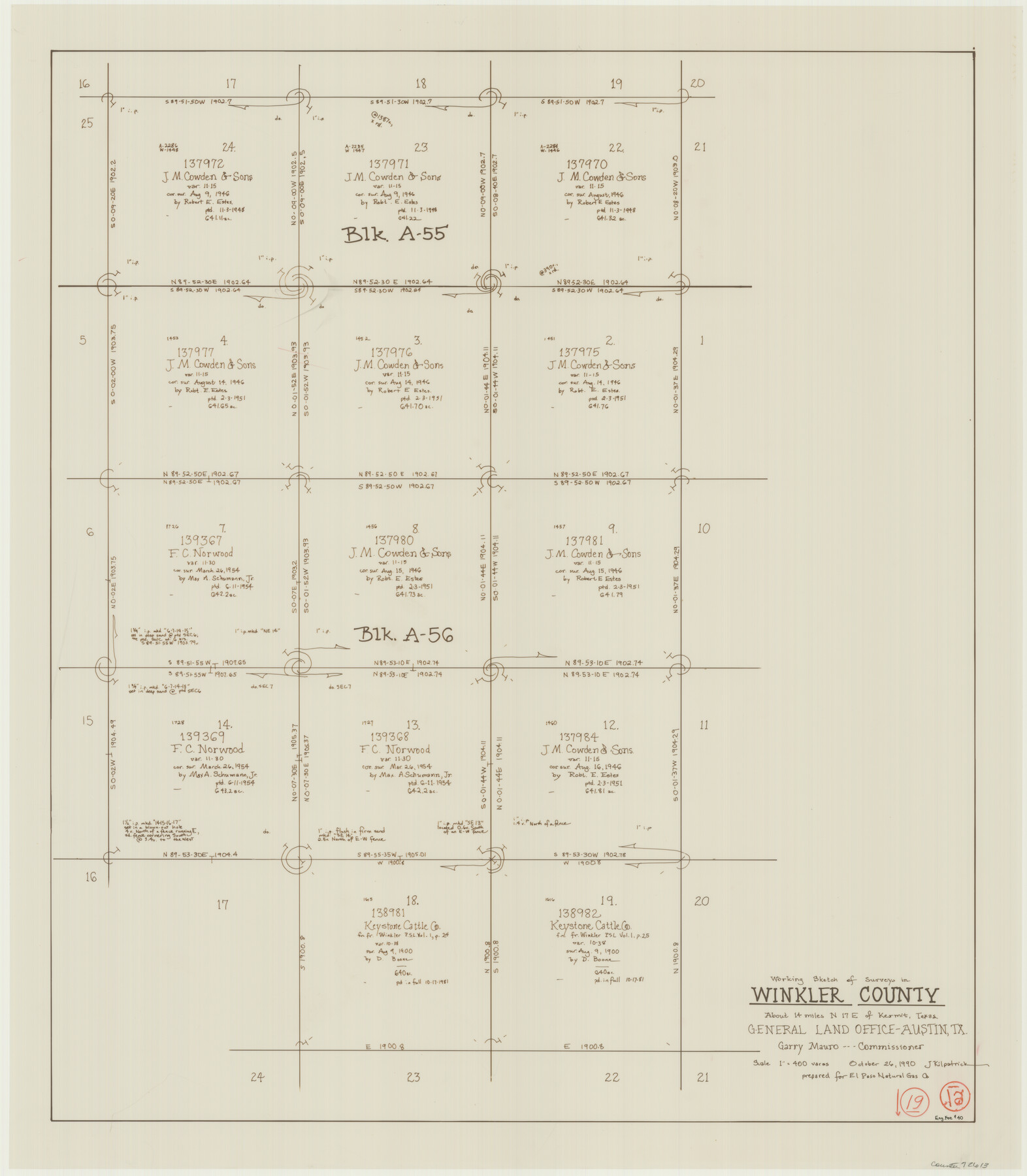
Winkler County Working Sketch 19
-
Map/Doc
72613
-
Collection
General Map Collection
-
Object Dates
10/26/1990 (Creation Date)
-
People and Organizations
Joan Kilpatrick (Draftsman)
-
Counties
Winkler
-
Subjects
Surveying Working Sketch
-
Height x Width
29.4 x 25.7 inches
74.7 x 65.3 cm
-
Scale
1" = 400 varas
Part of: General Map Collection
Stephens County

Print $20.00
- Digital $50.00
Stephens County
1940
Size 40.3 x 38.9 inches
Map/Doc 77426

Flight Mission No. DIX-8P, Frame 87, Aransas County

Print $20.00
- Digital $50.00
Flight Mission No. DIX-8P, Frame 87, Aransas County
1956
Size 16.4 x 19.0 inches
Map/Doc 83912
Galveston County NRC Article 33.136 Location Key Sheet

Print $20.00
- Digital $50.00
Galveston County NRC Article 33.136 Location Key Sheet
1974
Size 27.0 x 23.0 inches
Map/Doc 77022
Hydrographic Survey H-1288B Corpus Christi Pass

Print $40.00
- Digital $50.00
Hydrographic Survey H-1288B Corpus Christi Pass
1875
Size 31.8 x 52.5 inches
Map/Doc 2692
Flight Mission No. DCL-4C, Frame 146, Kenedy County

Print $20.00
- Digital $50.00
Flight Mission No. DCL-4C, Frame 146, Kenedy County
1943
Size 18.6 x 22.3 inches
Map/Doc 85824
Red River County Working Sketch 47

Print $20.00
- Digital $50.00
Red River County Working Sketch 47
1969
Size 34.3 x 24.2 inches
Map/Doc 72030
Sabine County Working Sketch 2

Print $3.00
- Digital $50.00
Sabine County Working Sketch 2
1906
Size 12.5 x 10.8 inches
Map/Doc 63673
Coleman County Sketch File 16

Print $4.00
- Digital $50.00
Coleman County Sketch File 16
1849
Size 9.6 x 8.3 inches
Map/Doc 18683
Lipscomb County Sketch File 2

Print $20.00
- Digital $50.00
Lipscomb County Sketch File 2
1902
Size 10.7 x 8.2 inches
Map/Doc 30223
Colorado County Sketch File 25

Print $8.00
- Digital $50.00
Colorado County Sketch File 25
1919
Size 11.5 x 8.8 inches
Map/Doc 18963
Real County Working Sketch 60

Print $40.00
- Digital $50.00
Real County Working Sketch 60
1963
Size 60.4 x 41.1 inches
Map/Doc 71952
You may also like
Hudspeth County Working Sketch 47

Print $20.00
- Digital $50.00
Hudspeth County Working Sketch 47
1984
Size 27.3 x 38.6 inches
Map/Doc 78211
Presidio County Rolled Sketch 3B

Print $20.00
- Digital $50.00
Presidio County Rolled Sketch 3B
Size 26.2 x 24.1 inches
Map/Doc 7328
Flight Mission No. CGI-4N, Frame 178, Cameron County

Print $20.00
- Digital $50.00
Flight Mission No. CGI-4N, Frame 178, Cameron County
1955
Size 18.6 x 22.3 inches
Map/Doc 84681
Milam County Boundary File 6a

Print $20.00
- Digital $50.00
Milam County Boundary File 6a
Size 9.5 x 29.0 inches
Map/Doc 57248
Current Miscellaneous File 40

Print $10.00
- Digital $50.00
Current Miscellaneous File 40
Size 14.2 x 8.7 inches
Map/Doc 73972
DeWitt County Rolled Sketch 1

Print $20.00
- Digital $50.00
DeWitt County Rolled Sketch 1
1940
Size 40.5 x 39.5 inches
Map/Doc 8777
H No. 3 - Reconnoissance of the Passes of the Delta of the Mississippi, Louisiana showing the changes since 1839

Print $20.00
- Digital $50.00
H No. 3 - Reconnoissance of the Passes of the Delta of the Mississippi, Louisiana showing the changes since 1839
1852
Size 15.9 x 22.8 inches
Map/Doc 97224
Fair View Heights Addition to City of Lubbock Located on Survey 80, Blk. A

Print $20.00
- Digital $50.00
Fair View Heights Addition to City of Lubbock Located on Survey 80, Blk. A
Size 16.8 x 21.1 inches
Map/Doc 92760
Chambers County NRC Article 33.136 Sketch 14

Print $42.00
- Digital $50.00
Chambers County NRC Article 33.136 Sketch 14
Size 34.5 x 22.6 inches
Map/Doc 97016
Bell County Sketch File 5

Print $4.00
- Digital $50.00
Bell County Sketch File 5
1849
Size 12.9 x 8.5 inches
Map/Doc 14371
Guadalupe County Sketch File 12

Print $8.00
- Digital $50.00
Guadalupe County Sketch File 12
1869
Size 12.9 x 8.2 inches
Map/Doc 24683
Van Zandt County Sketch File 2

Print $9.00
- Digital $50.00
Van Zandt County Sketch File 2
1852
Size 12.9 x 4.9 inches
Map/Doc 39359