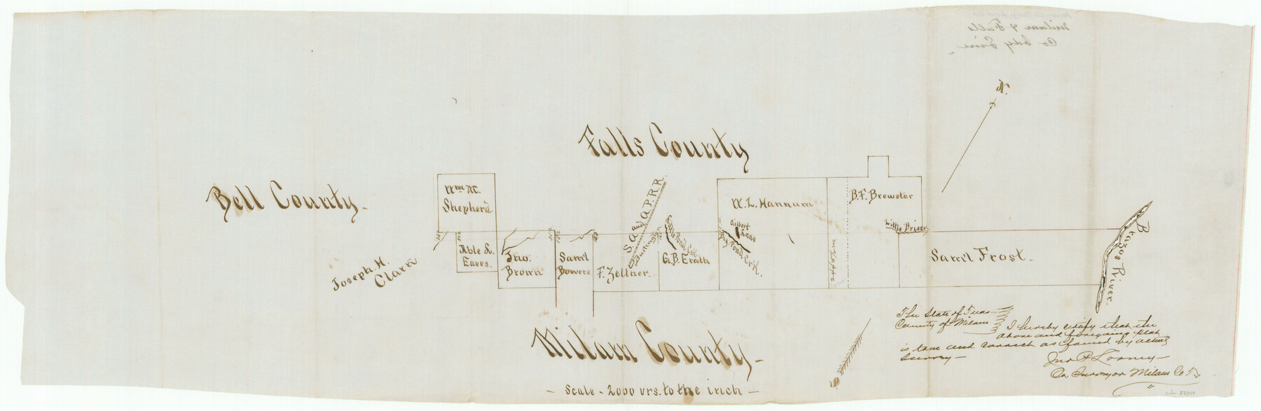
Milam County Boundary File 6a
Milam and Falls Co. bdy. line
-
Map/Doc
57248
-
Collection
General Map Collection
-
Counties
Milam
-
Subjects
County Boundaries
-
Height x Width
9.5 x 29.0 inches
24.1 x 73.7 cm
Part of: General Map Collection

Grayson County Sketch File 21

Print $14.00
- Digital $50.00
Grayson County Sketch File 21
Size 7.7 x 17.8 inches
Map/Doc 24495
Presidio County Sketch File 115

Print $14.00
- Digital $50.00
Presidio County Sketch File 115
1993
Size 11.3 x 8.9 inches
Map/Doc 34835
Webb County Working Sketch 98

Print $40.00
- Digital $50.00
Webb County Working Sketch 98
2012
Size 36.9 x 72.0 inches
Map/Doc 93276
Map of Texas in 1836

Print $20.00
- Digital $50.00
Map of Texas in 1836
1936
Size 32.1 x 24.4 inches
Map/Doc 2110
Hamilton County Working Sketch 17

Print $20.00
- Digital $50.00
Hamilton County Working Sketch 17
1951
Size 44.4 x 25.0 inches
Map/Doc 63355
Ochiltree County Sketch File 7

Print $20.00
- Digital $50.00
Ochiltree County Sketch File 7
Size 14.5 x 26.1 inches
Map/Doc 42204
Flight Mission No. CRC-3R, Frame 106, Chambers County

Print $20.00
- Digital $50.00
Flight Mission No. CRC-3R, Frame 106, Chambers County
1956
Size 18.8 x 22.6 inches
Map/Doc 84844
Jeff Davis County Sketch File 1

Print $20.00
- Digital $50.00
Jeff Davis County Sketch File 1
Size 35.8 x 24.2 inches
Map/Doc 11855
Kleberg County Rolled Sketch 9

Print $20.00
- Digital $50.00
Kleberg County Rolled Sketch 9
1954
Size 36.9 x 21.3 inches
Map/Doc 6551
Jasper County Sketch File 7

Print $22.00
- Digital $50.00
Jasper County Sketch File 7
Size 12.4 x 15.4 inches
Map/Doc 27775
Real County Working Sketch 47

Print $20.00
- Digital $50.00
Real County Working Sketch 47
1956
Size 15.9 x 12.9 inches
Map/Doc 97488
You may also like
Ochiltree County

Print $20.00
- Digital $50.00
Ochiltree County
1908
Size 40.9 x 37.1 inches
Map/Doc 16782
Intracoastal Waterway in Texas - Corpus Christi to Point Isabel including Arroyo Colorado to Mo. Pac. R.R. Bridge Near Harlingen

Print $20.00
- Digital $50.00
Intracoastal Waterway in Texas - Corpus Christi to Point Isabel including Arroyo Colorado to Mo. Pac. R.R. Bridge Near Harlingen
1933
Size 27.5 x 40.6 inches
Map/Doc 61869
Hardeman County Working Sketch 17

Print $20.00
- Digital $50.00
Hardeman County Working Sketch 17
1986
Size 18.4 x 26.1 inches
Map/Doc 63398
Galveston County Sketch File 53

Print $119.00
- Digital $50.00
Galveston County Sketch File 53
1964
Size 14.3 x 8.8 inches
Map/Doc 23527
Irion County Rolled Sketch 12

Print $40.00
- Digital $50.00
Irion County Rolled Sketch 12
1945
Size 37.5 x 51.9 inches
Map/Doc 75943
Map of Robertson District

Print $40.00
- Digital $50.00
Map of Robertson District
1846
Size 81.3 x 45.3 inches
Map/Doc 3032
[Surveys in Power and Hewetson's Colony]
![2, [Surveys in Power and Hewetson's Colony], General Map Collection](https://historictexasmaps.com/wmedia_w700/maps/2.tif.jpg)
Print $20.00
- Digital $50.00
[Surveys in Power and Hewetson's Colony]
1830
Size 21.3 x 22.5 inches
Map/Doc 2
Aransas County Rolled Sketch 2

Print $40.00
- Digital $50.00
Aransas County Rolled Sketch 2
1950
Size 27.9 x 51.4 inches
Map/Doc 73613
Flight Mission No. DAG-24K, Frame 147, Matagorda County

Print $20.00
- Digital $50.00
Flight Mission No. DAG-24K, Frame 147, Matagorda County
1953
Size 17.1 x 15.7 inches
Map/Doc 86561
Starr County Rolled Sketch 42

Print $20.00
- Digital $50.00
Starr County Rolled Sketch 42
1972
Size 26.0 x 18.4 inches
Map/Doc 7835
[H. & T. C. Block 47, Sections 52- 56]
![91488, [H. & T. C. Block 47, Sections 52- 56], Twichell Survey Records](https://historictexasmaps.com/wmedia_w700/maps/91488-1.tif.jpg)
Print $3.00
- Digital $50.00
[H. & T. C. Block 47, Sections 52- 56]
Size 9.4 x 14.4 inches
Map/Doc 91488
Flight Mission No. DAG-17K, Frame 125, Matagorda County

Print $20.00
- Digital $50.00
Flight Mission No. DAG-17K, Frame 125, Matagorda County
1952
Size 18.6 x 22.4 inches
Map/Doc 86345