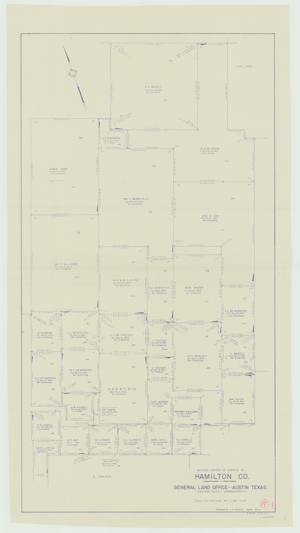
Hamilton County Working Sketch 17
-
Map/Doc
63355
-
Collection
General Map Collection
-
Object Dates
3/9/1951 (Creation Date)
-
People and Organizations
Otto G. Kurio (Draftsman)
-
Counties
Hamilton
-
Subjects
Surveying Working Sketch
-
Height x Width
44.4 x 25.0 inches
112.8 x 63.5 cm
-
Scale
1" = 400 varas
Part of: General Map Collection
Flight Mission No. BRE-2P, Frame 137, Nueces County

Print $20.00
- Digital $50.00
Flight Mission No. BRE-2P, Frame 137, Nueces County
1956
Size 18.6 x 22.4 inches
Map/Doc 86810
Nueces County Rolled Sketch 90

Print $129.00
Nueces County Rolled Sketch 90
1983
Size 24.8 x 37.1 inches
Map/Doc 7008
Anderson County Sketch File 4a

Print $9.00
- Digital $50.00
Anderson County Sketch File 4a
1849
Size 9.5 x 12.0 inches
Map/Doc 12746
Map of the Survey of the Parallel 36 1/2 Degrees North Latitude, Commencing at the 100th and Running to the 103rd Degree of Longitude West of Greenwich

Print $40.00
- Digital $50.00
Map of the Survey of the Parallel 36 1/2 Degrees North Latitude, Commencing at the 100th and Running to the 103rd Degree of Longitude West of Greenwich
1862
Size 87.1 x 11.1 inches
Map/Doc 3084
Right of Way and Track Map Texas & New Orleans R.R. Co. operated by the T. & N. O. R.R. Co. Dallas-Sabine Branch

Print $40.00
- Digital $50.00
Right of Way and Track Map Texas & New Orleans R.R. Co. operated by the T. & N. O. R.R. Co. Dallas-Sabine Branch
1918
Size 26.4 x 56.7 inches
Map/Doc 64157
San Jacinto County Sketch File 9

Print $4.00
San Jacinto County Sketch File 9
1860
Size 8.7 x 11.7 inches
Map/Doc 35712
Coryell County Working Sketch 9

Print $20.00
- Digital $50.00
Coryell County Working Sketch 9
1947
Size 28.7 x 30.0 inches
Map/Doc 68216
Hunt County Rolled Sketch 3A

Print $40.00
- Digital $50.00
Hunt County Rolled Sketch 3A
1959
Size 23.9 x 52.8 inches
Map/Doc 9241
Polk County Working Sketch Graphic Index

Print $20.00
- Digital $50.00
Polk County Working Sketch Graphic Index
1943
Size 46.9 x 41.5 inches
Map/Doc 76668
Tarrant County Working Sketch 25

Print $20.00
- Digital $50.00
Tarrant County Working Sketch 25
2004
Size 27.3 x 38.0 inches
Map/Doc 83585
Frio County Sketch File 13

Print $10.00
- Digital $50.00
Frio County Sketch File 13
1948
Size 11.3 x 8.8 inches
Map/Doc 23136
Township No. 1 South Range No. 21 West of the Indian Meridian

Print $20.00
- Digital $50.00
Township No. 1 South Range No. 21 West of the Indian Meridian
1875
Size 19.2 x 24.5 inches
Map/Doc 75178
You may also like
Gaines County Working Sketch 23

Print $20.00
- Digital $50.00
Gaines County Working Sketch 23
1982
Size 29.1 x 41.8 inches
Map/Doc 69323

Pecos County Working Sketch 30

Print $20.00
- Digital $50.00
Pecos County Working Sketch 30
1936
Size 27.9 x 27.4 inches
Map/Doc 71502
Section O Tech Memorial Park, Inc.

Print $20.00
- Digital $50.00
Section O Tech Memorial Park, Inc.
1950
Size 17.2 x 19.2 inches
Map/Doc 92299
Webb County Boundary File 5

Print $165.00
- Digital $50.00
Webb County Boundary File 5
Size 14.2 x 8.8 inches
Map/Doc 59765
Oldham County Rolled Sketch 5

Print $20.00
- Digital $50.00
Oldham County Rolled Sketch 5
1903
Size 29.7 x 36.6 inches
Map/Doc 9641
Randall County Boundary File 2

Print $14.00
- Digital $50.00
Randall County Boundary File 2
Size 8.9 x 7.9 inches
Map/Doc 58111
McCulloch County Sketch File 4

Print $4.00
- Digital $50.00
McCulloch County Sketch File 4
1883
Size 11.1 x 8.5 inches
Map/Doc 31175
Flight Mission No. DAG-21K, Frame 43, Matagorda County

Print $20.00
- Digital $50.00
Flight Mission No. DAG-21K, Frame 43, Matagorda County
1952
Size 18.9 x 22.6 inches
Map/Doc 86410

Wichita County Sketch File 9a

Print $4.00
- Digital $50.00
Wichita County Sketch File 9a
Size 10.7 x 8.2 inches
Map/Doc 40052
Bandera County Working Sketch 30

Print $20.00
- Digital $50.00
Bandera County Working Sketch 30
1969
Size 29.9 x 37.4 inches
Map/Doc 67626