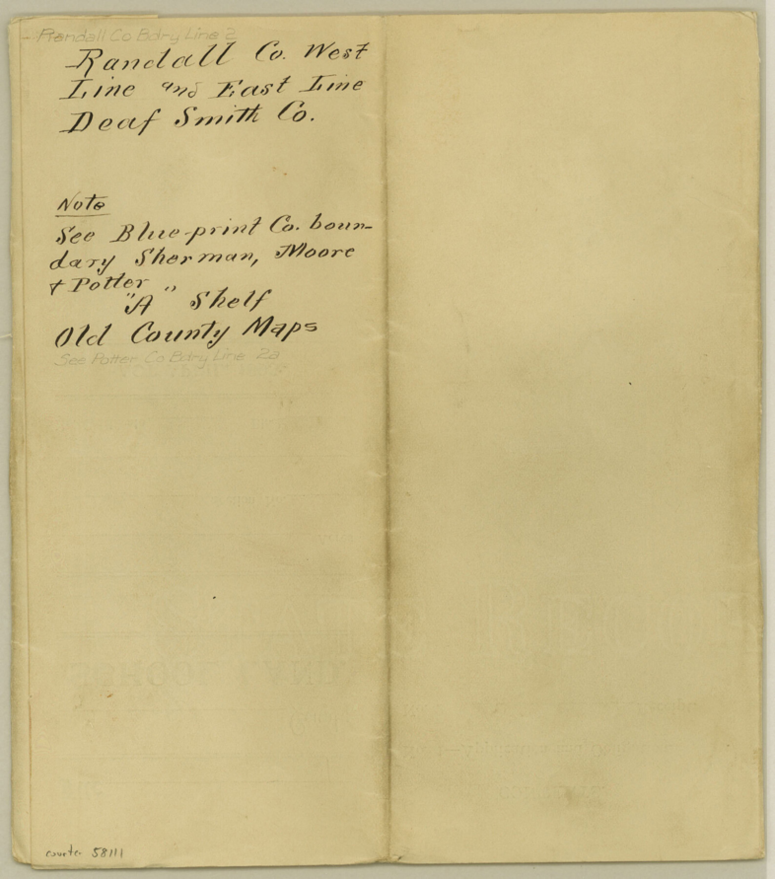
Randall County Boundary File 2
Fieldnotes of the West line of Randall Co.
-
Map/Doc
58111
-
Collection
General Map Collection
-
Counties
Randall
-
Subjects
County Boundaries
-
Height x Width
8.9 x 7.9 inches
22.6 x 20.1 cm
Part of: General Map Collection
Crosby County Sketch File 31

Print $20.00
- Digital $50.00
Crosby County Sketch File 31
Size 35.0 x 14.0 inches
Map/Doc 11257
Comal County Sketch File 1

Print $6.00
- Digital $50.00
Comal County Sketch File 1
1846
Size 16.4 x 10.5 inches
Map/Doc 18995
Ector County Working Sketch 7

Print $40.00
- Digital $50.00
Ector County Working Sketch 7
1941
Size 48.5 x 29.3 inches
Map/Doc 68850
Jefferson County NRC Article 33.136 Sketch 2

Print $20.00
- Digital $50.00
Jefferson County NRC Article 33.136 Sketch 2
2002
Size 24.3 x 35.9 inches
Map/Doc 77048
Morris County Boundary File 2

Print $6.00
- Digital $50.00
Morris County Boundary File 2
Size 14.1 x 8.7 inches
Map/Doc 57482
Outer Continental Shelf Leasing Maps (Louisiana Offshore Operations)

Print $20.00
- Digital $50.00
Outer Continental Shelf Leasing Maps (Louisiana Offshore Operations)
1977
Size 29.6 x 21.9 inches
Map/Doc 76119
Hudspeth County Rolled Sketch 36

Print $20.00
- Digital $50.00
Hudspeth County Rolled Sketch 36
1952
Size 30.8 x 19.9 inches
Map/Doc 6249
Cochran County Boundary File 5

Print $12.00
- Digital $50.00
Cochran County Boundary File 5
Size 4.2 x 8.8 inches
Map/Doc 51556
[Beaumont, Sour Lake and Western Ry. Right of Way and Alignment - Frisco]
![64133, [Beaumont, Sour Lake and Western Ry. Right of Way and Alignment - Frisco], General Map Collection](https://historictexasmaps.com/wmedia_w700/maps/64133.tif.jpg)
Print $20.00
- Digital $50.00
[Beaumont, Sour Lake and Western Ry. Right of Way and Alignment - Frisco]
1910
Size 20.0 x 45.5 inches
Map/Doc 64133
Trinity County Sketch File 29

Print $20.00
- Digital $50.00
Trinity County Sketch File 29
1859
Size 18.1 x 37.1 inches
Map/Doc 12488
Wichita Falls, Wichita County, Texas

Print $20.00
- Digital $50.00
Wichita Falls, Wichita County, Texas
Size 32.0 x 22.6 inches
Map/Doc 96791
Reagan County Working Sketch 48

Print $20.00
- Digital $50.00
Reagan County Working Sketch 48
1987
Size 31.6 x 46.1 inches
Map/Doc 71891
You may also like
Wilson County

Print $40.00
- Digital $50.00
Wilson County
1921
Size 39.6 x 48.5 inches
Map/Doc 73327
Nautical Chart 152-SC - Galveston Bay, Texas

Print $20.00
- Digital $50.00
Nautical Chart 152-SC - Galveston Bay, Texas
1972
Size 15.2 x 33.5 inches
Map/Doc 69891
[Sketch for Mineral Application 24072, San Jacinto River]
![65595, [Sketch for Mineral Application 24072, San Jacinto River], General Map Collection](https://historictexasmaps.com/wmedia_w700/maps/65595.tif.jpg)
Print $20.00
- Digital $50.00
[Sketch for Mineral Application 24072, San Jacinto River]
1929
Size 15.0 x 17.5 inches
Map/Doc 65595
Martin County Sketch File 10

Print $50.00
- Digital $50.00
Martin County Sketch File 10
Size 11.2 x 8.8 inches
Map/Doc 30644
Flight Mission No. CRK-8P, Frame 99, Refugio County

Print $20.00
- Digital $50.00
Flight Mission No. CRK-8P, Frame 99, Refugio County
1956
Size 18.3 x 22.1 inches
Map/Doc 86960
Map of Matagorda County, Texas

Print $20.00
Map of Matagorda County, Texas
1879
Size 30.7 x 27.4 inches
Map/Doc 88978
Flight Mission No. CRC-4R, Frame 75, Chambers County

Print $20.00
- Digital $50.00
Flight Mission No. CRC-4R, Frame 75, Chambers County
1956
Size 18.6 x 22.3 inches
Map/Doc 84879
Goliad County Working Sketch 4

Print $20.00
- Digital $50.00
Goliad County Working Sketch 4
1920
Size 30.5 x 30.0 inches
Map/Doc 63194
Borden County Sketch File 3

Print $4.00
- Digital $50.00
Borden County Sketch File 3
1902
Size 7.3 x 12.8 inches
Map/Doc 14703
Atascosa County Sketch File 37

Print $40.00
- Digital $50.00
Atascosa County Sketch File 37
Size 17.6 x 12.9 inches
Map/Doc 13829
University of Texas System University Lands

Print $20.00
- Digital $50.00
University of Texas System University Lands
1937
Size 23.3 x 17.6 inches
Map/Doc 93237
Hopkins County

Print $20.00
- Digital $50.00
Hopkins County
1942
Size 44.1 x 40.9 inches
Map/Doc 73183