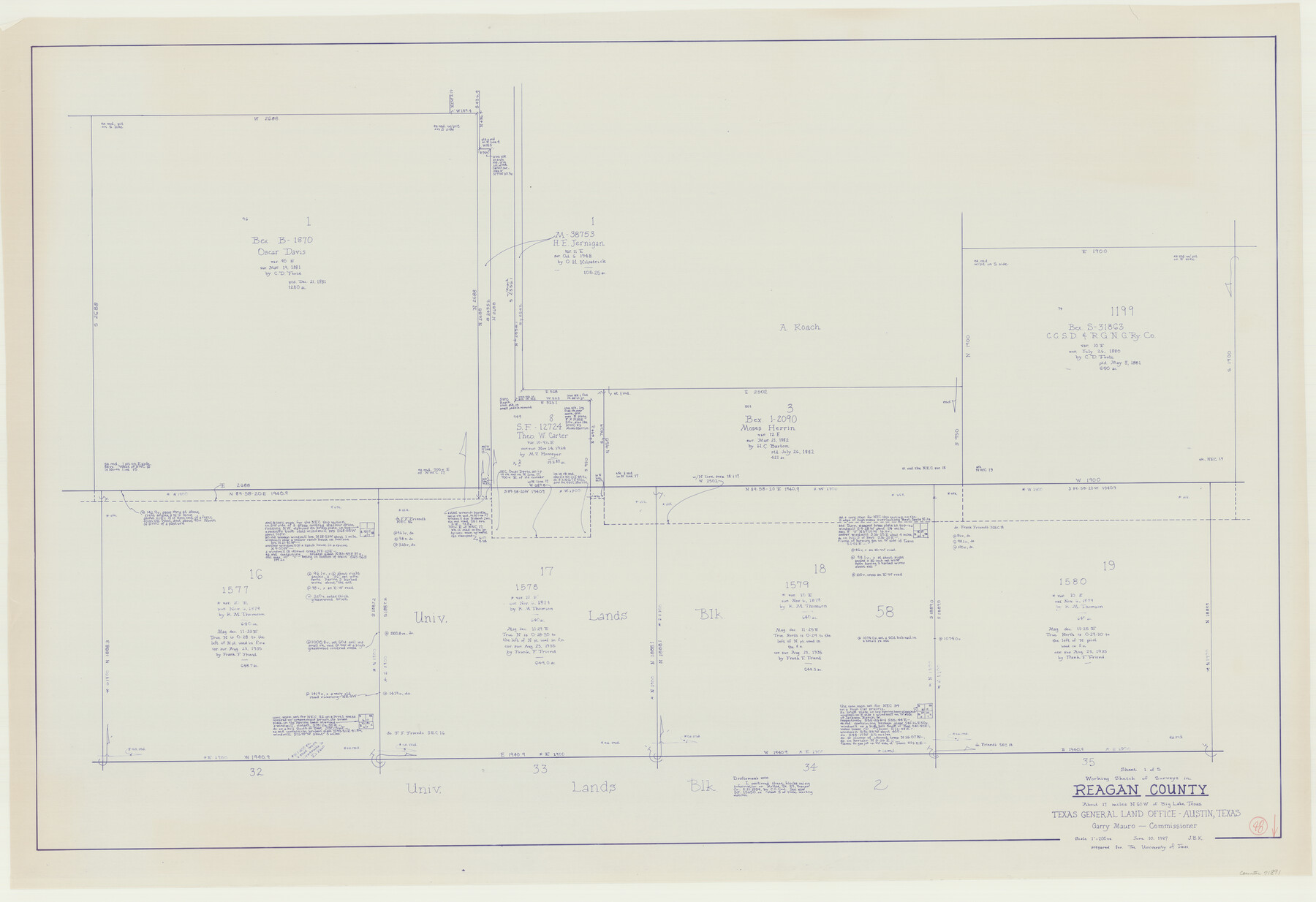
Reagan County Working Sketch 48
-
Map/Doc
71891
-
Collection
General Map Collection
-
Object Dates
6/10/1987 (Creation Date)
-
People and Organizations
Joan Kilpatrick (Draftsman)
-
Counties
Reagan
-
Subjects
Surveying Working Sketch
-
Height x Width
31.6 x 46.1 inches
80.3 x 117.1 cm
-
Scale
1" = 200 varas
Part of: General Map Collection

Reagan County Working Sketch 42

Print $20.00
- Digital $50.00
Reagan County Working Sketch 42
1973
Size 19.9 x 37.0 inches
Map/Doc 71884
Presidio County Rolled Sketch 113

Print $20.00
- Digital $50.00
Presidio County Rolled Sketch 113
1978
Size 22.2 x 27.8 inches
Map/Doc 7389
Flight Mission No. BRA-8M, Frame 27, Jefferson County

Print $20.00
- Digital $50.00
Flight Mission No. BRA-8M, Frame 27, Jefferson County
1953
Size 18.6 x 22.3 inches
Map/Doc 85582
Flight Mission No. BQR-5K, Frame 73, Brazoria County

Print $20.00
- Digital $50.00
Flight Mission No. BQR-5K, Frame 73, Brazoria County
1952
Size 19.1 x 22.6 inches
Map/Doc 84018
Bandera County Sketch File 9

Print $2.00
- Digital $50.00
Bandera County Sketch File 9
Size 8.7 x 4.9 inches
Map/Doc 14009
Wharton County Rolled Sketch 13

Print $20.00
- Digital $50.00
Wharton County Rolled Sketch 13
1990
Size 22.4 x 28.1 inches
Map/Doc 8238
Throckmorton County Boundary File 3

Print $40.00
- Digital $50.00
Throckmorton County Boundary File 3
Size 18.9 x 17.9 inches
Map/Doc 59281
Van Zandt County Sketch File 14

Print $4.00
- Digital $50.00
Van Zandt County Sketch File 14
1858
Size 7.9 x 8.1 inches
Map/Doc 39404
Sutton County Working Sketch 19

Print $20.00
- Digital $50.00
Sutton County Working Sketch 19
1978
Size 37.7 x 39.0 inches
Map/Doc 62362
Bandera County Working Sketch 11

Print $20.00
- Digital $50.00
Bandera County Working Sketch 11
1928
Size 17.8 x 27.4 inches
Map/Doc 67604
Reagan County Sketch File 25

Print $20.00
- Digital $50.00
Reagan County Sketch File 25
1941
Size 18.1 x 23.9 inches
Map/Doc 12222
You may also like
Polk County Working Sketch 23b

Print $40.00
- Digital $50.00
Polk County Working Sketch 23b
1957
Size 28.8 x 54.6 inches
Map/Doc 71639
Brewster County Rolled Sketch 92

Print $20.00
- Digital $50.00
Brewster County Rolled Sketch 92
1950
Size 24.3 x 15.2 inches
Map/Doc 5250
Duval County Rolled Sketch 18

Print $20.00
- Digital $50.00
Duval County Rolled Sketch 18
1940
Size 23.7 x 23.0 inches
Map/Doc 5739
Hudspeth County Working Sketch 33

Print $20.00
- Digital $50.00
Hudspeth County Working Sketch 33
1977
Size 26.8 x 21.4 inches
Map/Doc 66318
Carson County Boundary File 5b

Print $10.00
- Digital $50.00
Carson County Boundary File 5b
Size 11.7 x 8.6 inches
Map/Doc 51141
Johnson County Sketch File 10a

Print $4.00
- Digital $50.00
Johnson County Sketch File 10a
1877
Size 6.7 x 10.6 inches
Map/Doc 28445
Bowie County Working Sketch 17

Print $20.00
- Digital $50.00
Bowie County Working Sketch 17
1962
Size 24.5 x 20.0 inches
Map/Doc 67421
Brazoria County Working Sketch 50b

Print $20.00
- Digital $50.00
Brazoria County Working Sketch 50b
2003
Size 34.8 x 34.6 inches
Map/Doc 78345
Flight Mission No. DQN-5K, Frame 40, Calhoun County

Print $20.00
- Digital $50.00
Flight Mission No. DQN-5K, Frame 40, Calhoun County
1953
Size 18.6 x 22.1 inches
Map/Doc 84388
Terrell County Working Sketch 71

Print $20.00
- Digital $50.00
Terrell County Working Sketch 71
1980
Size 22.5 x 30.8 inches
Map/Doc 69592
Carson County Sketch File 6c

Print $20.00
- Digital $50.00
Carson County Sketch File 6c
Size 26.6 x 15.5 inches
Map/Doc 11055
Flight Mission No. DQN-1K, Frame 133, Calhoun County

Print $20.00
- Digital $50.00
Flight Mission No. DQN-1K, Frame 133, Calhoun County
1953
Size 18.6 x 22.4 inches
Map/Doc 84196